View
Add
Copy
Edit
Delete
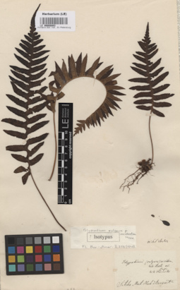
LE 00008803
Isotype of Polypodium vulgare var. occidentale Hook.
Administrative regions: US - United States of America. Place of collection: Sitcha.Groups of specimens: Образцы общего сектора; Типовые образцы Общего сектораComment:[Imported description]
Family: Polypodiaceae
Taxon: Polypodium vulgare var. occidentale Hook.
Type specimen category: Isotypus
Identified by: Hook.
Collectors: Mert.[ens]
Country: USA
Locality: Sitcha
Family: Polypodiaceae
Taxon: Polypodium vulgare var. occidentale Hook.
Type specimen category: Isotypus
Identified by: Hook.
Collectors: Mert.[ens]
Country: USA
Locality: Sitcha
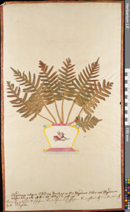
LE 01084102
Polypodium vulgare L. det. Ivanenko, Yuri Alekseevich at 10.2020
Groups of specimens: Herbarium of Abraham EnsComment:polypodium 097
Record creation: 2020-08-02, Andrey Sytin, PhotoScan D2Citation: Specimen LE 01084102 // Virtual herbarium of Komarov Botanical Institute RAS — http://re.herbariumle.ru/01084102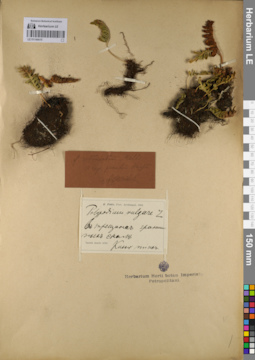
LE 01144410
Polypodium vulgare L.
Administrative regions: RU - Respublika Kareliya. Groups of specimens: Образцы сектора Восточной ЕвропыRecord creation: 2021-06-25, Flora of the Murmansk region, PhotoScan D2Citation: Specimen LE 01144410 // Virtual herbarium of Komarov Botanical Institute RAS — http://re.herbariumle.ru/01144410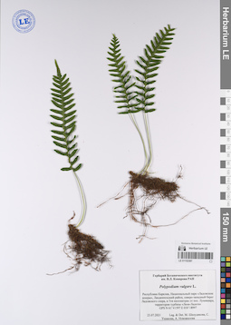
LE 01152387
Polypodium vulgare L. det. Sheludyakova, Mariya Borissovna at 23.07.2021
Collectors: Sheludyakova, Mariya Borissovna Collection date: 23.07.2021. Administrative regions: RU - Respublika Kareliya. Groups of specimens: Образцы сектора Восточной Европы; Соглашение Минобрнауки №075-15-2021-1056Original label text:Гербарий Ботанического института
им. В.Л. Комарова РАН
Polypodium vulgare L.
Республика Карелия, Национальный парк «Ладожские шхеры», Лахденпохский район, северо-западный берег Ладожского озера, в 5ти километрах от пос. Лумиваара, территория турбазы «Лена-Ладога»
GPS N 61˚41597 E 030˚18997
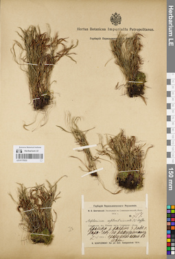
LE 01175333
Polypodium vulgare L. det. Schipczinski, Nikolaj Valerianovich at 1914
Collectors: Schipczinski, Nikolaj Valerianovich Field collecting number: 717. Collection date: 07.06.1914. Administrative regions: KZ - East Kazakhstan - Kurshim Audany. Топоним: Курчумский хребет (Курчумский хребет). Expedition: Шипчинский Н.В. Экспедиция в Семипалатинский уезд (1914 -1914)Groups of specimens: Образцы сектора Средней Азии; Соглашение Минобрнауки №075-15-2021-1056; Флора Урала и прилегающих территорий (проект)Original label text:Долина реки Калгаты у подножья горы Кара-Чеку (по расщелинам гранитной скалы в тени
Coordinates (geographic position): 48° 33′ 5.45″ N, 84° 43′ 59.94″ E ±2000 m, 1400 m a.s.l.Record creation: 2022-01-18, Denis Melnikov, PhotoScan D2Citation: Specimen LE 01175333 // Virtual herbarium of Komarov Botanical Institute RAS — http://re.herbariumle.ru/01175333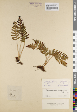
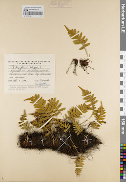
LE 01181162
Polypodium vulgare L. det. Shmakov, Aleksandr Ivanovich at 02.03.1992
Additional identifications: Polypodium virginianum auct. det. Bobrov, A. E. at 05.1968 Collectors: Karelin, Grigorij Silyc Field collecting number: 1092. Administrative regions: KZ - East Kazakhstan. Groups of specimens: Образцы сектора Средней Азии; Флора Урала и прилегающих территорий (проект); Соглашение Минобрнауки №075-15-2021-1056Original label text:Altai
Record creation: 2022-02-18, Denis Melnikov, PhotoScan D2Citation: Specimen LE 01181162 // Virtual herbarium of Komarov Botanical Institute RAS — http://re.herbariumle.ru/01181162Kar: coll:
LE 01181163
Polypodium vulgare L. det. Grubov, Valery Ivanovich at 13.06.1959
Collectors: Popova T.A. Field collecting number: 8128. Collection date: 13.06.1959. Administrative regions: KZ - Qaraghandy Oblysy - Qarqaraly Audany. Топоним: Каркаралы горы (Каркаралы горы). Groups of specimens: Образцы сектора Средней Азии; Флора Урала и прилегающих территорий (проект); Соглашение Минобрнауки №075-15-2021-1056Original label text:Казахская ССР. Карагандинская область. Каркаралинские горы. Под гранитными скалами.
Coordinates (geographic position): 49° 25′ 51.13″ N, 75° 25′ 27.89″ E ±400 mRecord creation: 2022-02-18, Denis Melnikov, PhotoScan D2Citation: Specimen LE 01181163 // Virtual herbarium of Komarov Botanical Institute RAS — http://re.herbariumle.ru/01181163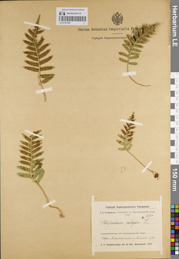
LE 01181165
Polypodium vulgare L. det. Kutscherovskaya, Sofia Evgenevna at 15.06.1910
Collectors: Kutscherovskaya, Sofia Evgenevna Field collecting number: 1851а. Collection date: 15.06.1910. Administrative regions: KZ - Qaraghandy Oblysy - Qarqaraly Audany. Топоним: Каркаралы горы (Каркаралы горы). Expedition: Экспедиция в Каркаралинский уезд. Кучеровская С.Е. (1910 -1910)Groups of specimens: Образцы сектора Средней Азии; Флора Урала и прилегающих территорий (проект); Соглашение Минобрнауки №075-15-2021-1056Original label text:Семипалатинская область. Каркаралинский уезд. Горы Каркаралы и Кент
Coordinates (geographic position): 49° 27′ 10.33″ N, 75° 26′ 48.24″ E ±400 mRecord creation: 2022-02-18, Denis Melnikov, PhotoScan D2Citation: Specimen LE 01181165 // Virtual herbarium of Komarov Botanical Institute RAS — http://re.herbariumle.ru/01181165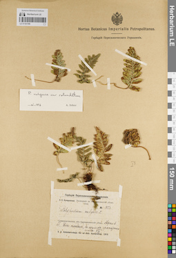
LE 01181166
Polypodium vulgare L. det. Kutscherovskaya, Sofia Evgenevna at 07.1910
Additional identifications: Polypodium vulgare var. rotundatum det. Bobrov, A. E. at 05.1976 Collectors: Kutscherovskaya, Sofia Evgenevna Field collecting number: 1853. Collection date: 07.1910. Expedition: Экспедиция в Каркаралинский уезд. Кучеровская С.Е. (1910 -1910)Groups of specimens: Образцы сектора Средней Азии; Флора Урала и прилегающих территорий (проект); Соглашение Минобрнауки №075-15-2021-1056Original label text:Семипалатинская область. Каркаралинский уезд. Горы Бестокал, в щелях гранитных глыб
Record creation: 2022-02-18, Denis Melnikov, PhotoScan D2Citation: Specimen LE 01181166 // Virtual herbarium of Komarov Botanical Institute RAS — http://re.herbariumle.ru/01181166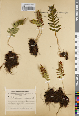
LE 01181167
Polypodium vulgare L. det. Kutscherovskaya, Sofia Evgenevna at 02.05.1914
Collectors: Kutscherovskaya, Sofia Evgenevna Field collecting number: 1567. Collection date: 02.05.1914. Administrative regions: KZ - Pavlodar Oblysy - Bayanauyl Audany. Топоним: Баянаул горы (Баянаул горы). Expedition: Экспедиция в Павлодарский и Каркаралинские уезды Kutscherovskaya, Sofia Evgenevna (Кучеровская, (Рожанец) София Евгеньевна) (1914)Groups of specimens: Образцы сектора Средней Азии; Флора Урала и прилегающих территорий (проект); Соглашение Минобрнауки №075-15-2021-1056Original label text:Семипалатинский область. Павлодарский уезд. Окрестности станицы Баян-Аульской, скалистые склоны гор.
Coordinates (geographic position): 50° 50′ 28.08″ N, 75° 39′ 41.42″ E ±700 mRecord creation: 2022-02-18, Denis Melnikov, PhotoScan D2Citation: Specimen LE 01181167 // Virtual herbarium of Komarov Botanical Institute RAS — http://re.herbariumle.ru/01181167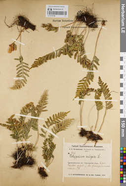
LE 01181168
Polypodium vulgare L. det. Kutscherovskaya, Sofia Evgenevna at 30.06.1913
Collectors: Kutscherovskaya, Sofia Evgenevna Field collecting number: 466. Collection date: 30.06.1913. Administrative regions: KZ - Pavlodar Oblysy - Bayanauyl Audany. Топоним: Баянаул горы (Баянаул горы). Expedition: Экспедиция в Павлодарский уезд Kutscherovskaya, Sofia Evgenevna (Кучеровская, (Рожанец) София Евгеньевна) (1913)Groups of specimens: Образцы сектора Средней Азии; Флора Урала и прилегающих территорий (проект); Соглашение Минобрнауки №075-15-2021-1056Original label text:Семипалатинский область. Павлодарский уезд. Окрестности станицы Баян-Аульской, в расщелинах скал
Coordinates (geographic position): 50° 50′ 28.08″ N, 75° 39′ 41.42″ E ±500 mRecord creation: 2022-02-18, Denis Melnikov, PhotoScan D2Citation: Specimen LE 01181168 // Virtual herbarium of Komarov Botanical Institute RAS — http://re.herbariumle.ru/01181168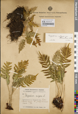
LE 01181169
Polypodium vulgare L. det. Kutscherovskaya, Sofia Evgenevna at 30.06.1913
Additional identifications: Polypodium vulgare var. attenuatum Milde det. Bobrov, A. E. at 05.1976 Collectors: Kutscherovskaya, Sofia Evgenevna Field collecting number: 466. Collection date: 30.06.1913. Administrative regions: KZ - Pavlodar Oblysy - Bayanauyl Audany. Топоним: Баянаул горы (Баянаул горы). Expedition: Экспедиция в Павлодарский уезд Kutscherovskaya, Sofia Evgenevna (Кучеровская, (Рожанец) София Евгеньевна) (1913)Groups of specimens: Образцы сектора Средней Азии; Флора Урала и прилегающих территорий (проект); Соглашение Минобрнауки №075-15-2021-1056Original label text:Семипалатинский область. Павлодарский уезд. Окрестности станицы Баян-Аульской, в расщелинах скал
Coordinates (geographic position): 50° 50′ 25.35″ N, 75° 37′ 46.92″ E ±500 mRecord creation: 2022-02-18, Denis Melnikov, PhotoScan D2Citation: Specimen LE 01181169 // Virtual herbarium of Komarov Botanical Institute RAS — http://re.herbariumle.ru/01181169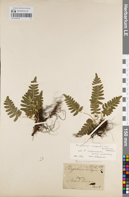
LE 01181170
Polypodium vulgare L. det. Schrenk, Alexandr Gustav von at 1841
Additional identifications: Polypodium vulgare var. pumilum Haussm. det. Bobrov, A. E. at 08.03.1962 Collectors: Schrenk, Alexandr Gustav von Field collecting number: 58. Collection date: 1841. Administrative regions: KZ-East Kazakhstan - Abay Audany. Топоним: Аркат (Аркат). Groups of specimens: Образцы сектора Средней Азии; Флора Урала и прилегающих территорий (проект); Соглашение Минобрнауки №075-15-2021-1056Original label text:Songarei. Arkat Bergen
Coordinates (geographic position): 49° 3′ 36.05″ N, 80° 8′ 52.57″ E ±3000 mRecord creation: 2022-02-18, Denis Melnikov, PhotoScan D2Citation: Specimen LE 01181170 // Virtual herbarium of Komarov Botanical Institute RAS — http://re.herbariumle.ru/01181170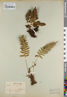
LE 01181171
Polypodium vulgare L. det. Unknown at 1841
Collectors: Unknown Field collecting number: 85. Collection date: 1841. Groups of specimens: Образцы сектора Средней Азии; Флора Урала и прилегающих территорий (проект); Соглашение Минобрнауки №075-15-2021-1056Original label text:.. ...lla...... Irtysch ... Ayagus Arkat
Comment: Определить координаты сложно
Record creation: 2022-02-18, Denis Melnikov, PhotoScan D2. Processing status: label contains unreadable dataCitation: Specimen LE 01181171 // Virtual herbarium of Komarov Botanical Institute RAS — http://re.herbariumle.ru/01181171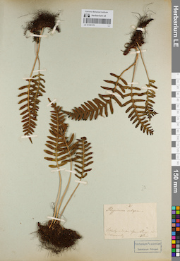
LE 01181172
Polypodium vulgare L. det. Unknown
Collectors: Unknown Field collecting number: 2. Collection date: 23.06.1841. Administrative regions: KZ - Qaraghandy Oblysy - Qarqaraly Audany. Топоним: Каркаралы горы (Каркаралы горы). Groups of specimens: Образцы сектора Средней Азии; Флора Урала и прилегающих территорий (проект); Соглашение Минобрнауки №075-15-2021-1056Original label text:.. .... . ... ......tbergen ... Karkaraly
Record creation: 2022-02-18, Denis Melnikov, PhotoScan D2Citation: Specimen LE 01181172 // Virtual herbarium of Komarov Botanical Institute RAS — http://re.herbariumle.ru/01181172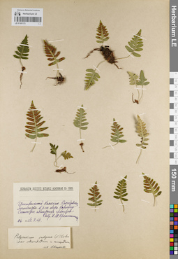
LE 01181173
Polypodium vulgare L. ⟨inter P. v. var. rorundatum et P. v. var. angustatum⟩ det. Matzenko, Alexandra Efimovna at 1957
Collectors: Krascheninnikov, Ippolit (Hippolit) Mikhailovich Field collecting number: 76. Collection date: 08.08.1938. Administrative regions: KZ - Aqmola Oblysy. Subregion: Бурабайский. Топоним: Бурабай (Бурабай). Groups of specimens: Образцы сектора Средней Азии; Флора Урала и прилегающих территорий (проект); Соглашение Минобрнауки №075-15-2021-1056Original label text:Центральный Казахстан. Кокчетавское лесничество. В районе озера Карасьего. Скалистые обнажения гранитов.
Coordinates (geographic position): 53° 1′ 56.77″ N, 70° 12′ 43.72″ E ±500 mRecord creation: 2022-02-18, Denis Melnikov, PhotoScan D2Citation: Specimen LE 01181173 // Virtual herbarium of Komarov Botanical Institute RAS — http://re.herbariumle.ru/01181173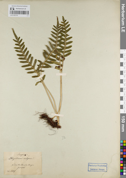
LE 01181174
Polypodium vulgare L. det. Unknown at 07.1843
Administrative regions: KZ - Qaraghandy Oblysy - Qarqaraly Audany. Топоним: Каркаралы горы (Каркаралы горы). Groups of specimens: Образцы сектора Средней Азии; Флора Урала и прилегающих территорий (проект); Соглашение Минобрнауки №075-15-2021-1056Original label text:Zu den Karkaraly Bergen
Coordinates (geographic position): 49° 22′ 8.16″ N, 75° 24′ 0.91″ E ±7000 mRecord creation: 2022-02-18, Denis Melnikov, PhotoScan D2Citation: Specimen LE 01181174 // Virtual herbarium of Komarov Botanical Institute RAS — http://re.herbariumle.ru/01181174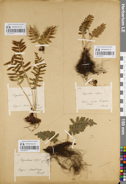
LE 01181175
Polypodium vulgare L. det. Schrenk, Alexandr Gustav von
Collectors: Schrenk, Alexandr Gustav von Field collecting number: 2. Administrative regions: KZ - Qaraghandy Oblysy - Qarqaraly Audany. Топоним: Каркаралы горы (Каркаралы горы). Groups of specimens: Образцы сектора Средней Азии; Флора Урала и прилегающих территорий (проект); Соглашение Минобрнауки №075-15-2021-1056Original label text:Songarei. Karkaraly Berge
Coordinates (geographic position): 49° 16′ 49.89″ N, 75° 26′ 41.37″ E ±3200 mRecord creation: 2022-02-18, Denis Melnikov, PhotoScan D2Citation: Specimen LE 01181175 // Virtual herbarium of Komarov Botanical Institute RAS — http://re.herbariumle.ru/01181175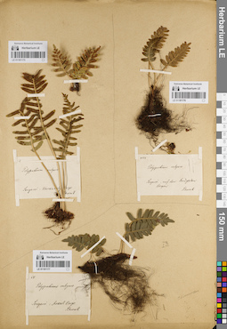
LE 01181176
Polypodium vulgare L. det. Schrenk, Alexandr Gustav von
Collectors: Schrenk, Alexandr Gustav von Field collecting number: 433. Administrative regions: KZ - Aqmola Oblysy - Sandyqtau Audany. Топоним: Балкашинский поселок горы Сандыктау (Балкашино). Groups of specimens: Образцы сектора Средней Азии; Флора Урала и прилегающих территорий (проект); Соглашение Минобрнауки №075-15-2021-1056Original label text:Songarei. auf den Sandyktau Bergen
Coordinates (geographic position): 52° 35′ 35.89″ N, 68° 51′ 18.43″ E ±3000 mRecord creation: 2022-02-18, Denis Melnikov, PhotoScan D2Citation: Specimen LE 01181176 // Virtual herbarium of Komarov Botanical Institute RAS — http://re.herbariumle.ru/01181176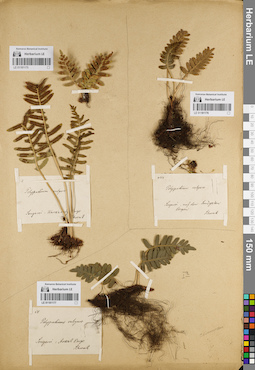
LE 01181177
Polypodium vulgare L. det. Schrenk, Alexandr Gustav von
Collectors: Schrenk, Alexandr Gustav von Field collecting number: 58. Administrative regions: KZ-East Kazakhstan - Abay Audany. Топоним: Аркат (Аркат). Groups of specimens: Образцы сектора Средней Азии; Флора Урала и прилегающих территорий (проект); Соглашение Минобрнауки №075-15-2021-1056Original label text:Songarei. Arkat Berge
Coordinates (geographic position): 49° 2′ 44.6″ N, 80° 9′ 1.07″ E ±5000 mRecord creation: 2022-02-18, Denis Melnikov, PhotoScan D2Citation: Specimen LE 01181177 // Virtual herbarium of Komarov Botanical Institute RAS — http://re.herbariumle.ru/01181177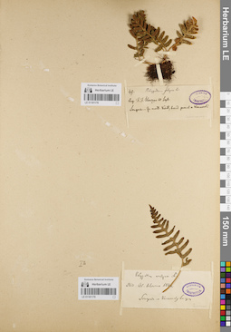
LE 01181178
Polypodium vulgare L. det. Slowzow at 10.09.1841
Collectors: Trautvetter, Ernst Rudolf von Field collecting number: 49. Collection date: 1841. Administrative regions: KZ - Qaraghandy Oblysy - Qarqaraly Audany. Топоним: Каркаралы горы (Каркаралы горы). Groups of specimens: Образцы сектора Средней Азии; Флора Урала и прилегающих территорий (проект); Соглашение Минобрнауки №075-15-2021-1056Original label text:Songoria. Zu mont. Kent, haud prerul a Karkarali
Coordinates (geographic position): 49° 17′ 30.47″ N, 75° 27′ 35.32″ E ±4000 mRecord creation: 2022-02-18, Denis Melnikov, PhotoScan D2Citation: Specimen LE 01181178 // Virtual herbarium of Komarov Botanical Institute RAS — http://re.herbariumle.ru/01181178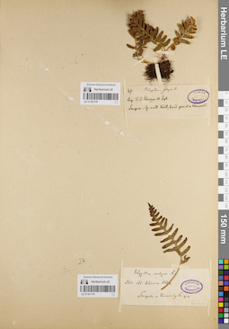
LE 01181179
Polypodium vulgare L. det. Slowzow at 1841
Collectors: Trautvetter, Ernst Rudolf von Collection date: 1841. Administrative regions: KZ - Qaraghandy Oblysy - Qarqaraly Audany. Топоним: Каркаралы горы (Каркаралы горы). Groups of specimens: Образцы сектора Средней Азии; Флора Урала и прилегающих территорий (проект); Соглашение Минобрнауки №075-15-2021-1056Original label text:Songaria. Karkaraly Berg.
Coordinates (geographic position): 49° 17′ 30.47″ N, 75° 27′ 35.32″ E ±4000 mRecord creation: 2022-02-18, Denis Melnikov, PhotoScan D2Citation: Specimen LE 01181179 // Virtual herbarium of Komarov Botanical Institute RAS — http://re.herbariumle.ru/01181179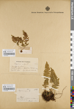
LE 01181180
Polypodium vulgare L. det. Schrenk, Alexandr Gustav von at 1842
Collectors: Schrenk, Alexandr Gustav von Field collecting number: 433. Collection date: 1842. Administrative regions: KZ - Aqmola Oblysy - Sandyqtau Audany. Топоним: Балкашинский поселок горы Сандыктау (Балкашино). Groups of specimens: Образцы сектора Средней Азии; Флора Урала и прилегающих территорий (проект); Соглашение Минобрнауки №075-15-2021-1056Original label text:Songarei. Auf vund von Koktschatau wunf Atbasar ... und Sandyktau .... bergen
Record creation: 2022-02-18, Denis Melnikov, PhotoScan D2Citation: Specimen LE 01181180 // Virtual herbarium of Komarov Botanical Institute RAS — http://re.herbariumle.ru/01181180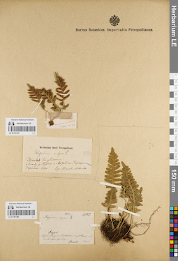
LE 01181181
Polypodium vulgare L. det. Miroshnichenko
Collectors: Miroshnichenko Administrative regions: KZ - Qaraghandy Oblysy - Qarqaraly Audany. Groups of specimens: Образцы сектора Средней Азии; Флора Урала и прилегающих территорий (проект); Соглашение Минобрнауки №075-15-2021-1056Original label text:Desertii Kirghisorum. Между рекой Нура и Актавско-Каркаралинской дорогой
Coordinates (geographic position): 49° 13′ 29.38″ N, 74° 48′ 56.44″ E ±12000 mRecord creation: 2022-02-18, Denis Melnikov, PhotoScan D2Citation: Specimen LE 01181181 // Virtual herbarium of Komarov Botanical Institute RAS — http://re.herbariumle.ru/01181181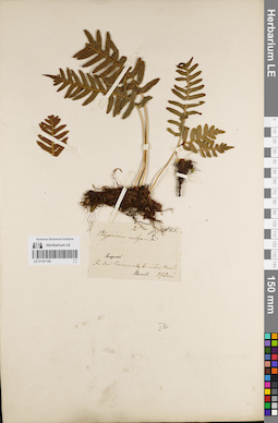
LE 01181182
Polypodium vulgare L. det. Schrenk, Alexandr Gustav von at 1843
Collectors: Schrenk, Alexandr Gustav von Collection date: 27.06.1843. Administrative regions: KZ - Qaraghandy Oblysy - Qarqaraly Audany. Топоним: Каркаралы горы (Каркаралы горы). Groups of specimens: Образцы сектора Средней Азии; Флора Урала и прилегающих территорий (проект); Соглашение Минобрнауки №075-15-2021-1056Original label text:Songarei. . ... Karkaraly B. ..... .....
Coordinates (geographic position): 49° 24′ 48.35″ N, 75° 24′ 12.24″ E ±5000 mRecord creation: 2022-02-18, Denis Melnikov, PhotoScan D2Citation: Specimen LE 01181182 // Virtual herbarium of Komarov Botanical Institute RAS — http://re.herbariumle.ru/01181182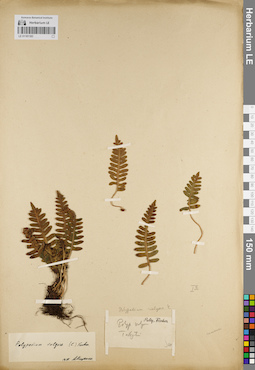
LE 01181183
Polypodium vulgare L. det. Matzenko, Alexandra Efimovna at 1957
Additional identifications: Polypodium vulgare L. det. Fischer, Friedrich Ernst Ludwig von Collectors: Fischer, Friedrich Ernst Ludwig von Administrative regions: KZ - Qostanay Oblysy. Groups of specimens: Образцы сектора Средней Азии; Флора Урала и прилегающих территорий (проект); Соглашение Минобрнауки №075-15-2021-1056Original label text:Tobyl
Record creation: 2022-02-18, Denis Melnikov, PhotoScan D2Citation: Specimen LE 01181183 // Virtual herbarium of Komarov Botanical Institute RAS — http://re.herbariumle.ru/01181183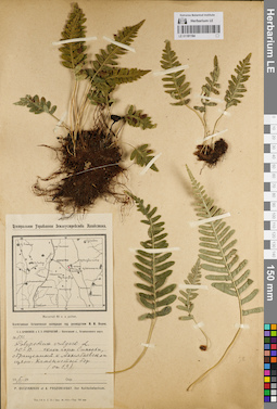
LE 01181184
Polypodium vulgare L. det. Ovczinnikov, Pavel Nikolaevich, Prozorovsky, A. V. at 05.07.1929
Collectors: Ovczinnikov, Pavel Nikolaevich; Prozorovsky, A. V. Field collecting number: 511. Collection date: 05.07.1929. Administrative regions: KZ - Aqmola Oblysy. Subregion: Бурабайский. Топоним: Бурабай (Бурабай). Expedition: Кокчетавская ботаническая экспедиция М.М. Ильин (05.07.1929)Groups of specimens: Образцы сектора Средней Азии; Флора Урала и прилегающих территорий (проект); Соглашение Минобрнауки №075-15-2021-1056Original label text:Юго-Восточный склон горы Синюхи, обращенный к Акылбаевской щели. Каменистый бор.
Coordinates (geographic position): 53° 4′ 10.7″ N, 70° 11′ 16.06″ E ±2000 mRecord creation: 2022-02-18, Denis Melnikov, PhotoScan D2Citation: Specimen LE 01181184 // Virtual herbarium of Komarov Botanical Institute RAS — http://re.herbariumle.ru/01181184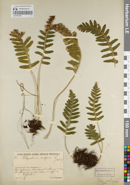
LE 01181185
Polypodium vulgare L. det. Ganeschin, Sergej Sergejewitsch at 17.05.1914
Collectors: Ganeschin, Sergej Sergejewitsch Field collecting number: 170. Collection date: 17.05.1914. Administrative regions: KZ - Aqmola Oblysy. Subregion: Бурабайский. Топоним: Бурабай (Бурабай). Expedition: Южно-Денгизская (Тенгизская) экспедиция Семенов В.Ф., Ганешин С.С. (1914 -1914)Groups of specimens: Образцы сектора Средней Азии; Флора Урала и прилегающих территорий (проект); Соглашение Минобрнауки №075-15-2021-1056Original label text:Акмолинская область. Кокчетавский уезд. По тракту Кокчетав-Акмолинск, в расщелинах скал по берегу озера Борового.
Coordinates (geographic position): 53° 5′ 17.81″ N, 70° 15′ 50.74″ E ±3700 mRecord creation: 2022-02-18, Denis Melnikov, PhotoScan D2Citation: Specimen LE 01181185 // Virtual herbarium of Komarov Botanical Institute RAS — http://re.herbariumle.ru/01181185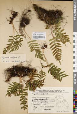
LE 01181186
Polypodium vulgare L. det. Tzvelev, Nikolai Nikolaievich at 21.09.1955
Collectors: Tzvelev, Nikolai Nikolaievich; Kalinina, A.V.; Karamysheva, Zoya Vladimirovna; Dogadova, A. D. Field collecting number: 1352. Collection date: 26.07.1955. Administrative regions: KZ - Pavlodar Oblysy - Bayanauyl Audany. Топоним: Баянаул горы (Баянаул горы). Expedition: Ботанический отряд Казахстанской экспедиции (1955 -1955)Groups of specimens: Образцы сектора Средней Азии; Флора Урала и прилегающих территорий (проект); Соглашение Минобрнауки №075-15-2021-1056Original label text:Казахская ССР. Павлодарская область. Баянаульский район. В 5 км от горы Баянаул, по нижней дороге к озеру Джасыбай.
Coordinates (geographic position): 50° 49′ 40.85″ N, 75° 39′ 58.13″ E ±1000 mRecord creation: 2022-02-18, Denis Melnikov, PhotoScan D2Citation: Specimen LE 01181186 // Virtual herbarium of Komarov Botanical Institute RAS — http://re.herbariumle.ru/01181186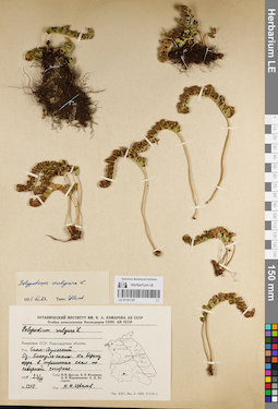
LE 01181187
Polypodium vulgare L. det. Tzvelev, Nikolai Nikolaievich at 21.09.1955
Collectors: Tzvelev, Nikolai Nikolaievich; Kalinina, A.V.; Karamysheva, Zoya Vladimirovna; Dogadova, A. D. Field collecting number: 1315. Collection date: 23.05.1955. Administrative regions: KZ - Pavlodar Oblysy - Bayanauyl Audany. Топоним: Баянаул горы (Баянаул горы). Expedition: Ботанический отряд Казахстанской экспедиции (1955 -1955)Groups of specimens: Образцы сектора Средней Азии; Флора Урала и прилегающих территорий (проект); Соглашение Минобрнауки №075-15-2021-1056Original label text:Казахская ССР. Павлодарская область. Баянаульский район. Озеро Боскуль, скалы. На берегу озера в трещинах скал по северной стороне.
Coordinates (geographic position): 50° 48′ 59.5″ N, 75° 34′ 46.21″ E ±1500 mRecord creation: 2022-02-18, Denis Melnikov, PhotoScan D2Citation: Specimen LE 01181187 // Virtual herbarium of Komarov Botanical Institute RAS — http://re.herbariumle.ru/01181187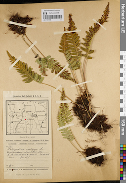
LE 01181188
Polypodium vulgare L. det. Ovczinnikov, Pavel Nikolaevich, Prozorovsky, A. V. at 16.06.1929
Collectors: Ovczinnikov, Pavel Nikolaevich; Prozorovsky, A. V. Field collecting number: 140. Collection date: 16.06.1929. Administrative regions: KZ - Aqmola Oblysy - Zerendi Audany. Топоним: Сосновая грива кордон (Малые Тюкты) (Сосновая грива). Expedition: Кокчетавская ботаническая экспедиция М.М. Ильин (05.07.1929)Groups of specimens: Образцы сектора Средней Азии; Флора Урала и прилегающих территорий (проект); Соглашение Минобрнауки №075-15-2021-1056Original label text:Каменистый сосновый бор. В Мало-Тюктинской лесной даче.
Coordinates (geographic position): 52° 50′ 6.49″ N, 69° 30′ 59.38″ E ±3000 mRecord creation: 2022-02-18, Denis Melnikov, PhotoScan D2Citation: Specimen LE 01181188 // Virtual herbarium of Komarov Botanical Institute RAS — http://re.herbariumle.ru/01181188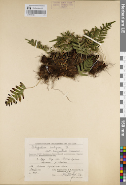
LE 01181189
Polypodium vulgare L. det. Bobrov, A. E. at 1976
Collectors: Karamysheva, Zoya Vladimirovna; Vlasov Ju. A.; Rachkovskaya, Ekaterina Ivanovna Field collecting number: 967. Collection date: 24.07.1968. Administrative regions: KZ - Qaraghandy Oblysy - Qarqaraly Audany. Топоним: Горы Куу (Горы Ку). Groups of specimens: Образцы сектора Средней Азии; Флора Урала и прилегающих территорий (проект); Соглашение Минобрнауки №075-15-2021-1056Original label text:Казахская ССР. Центрально-Казахстанский мелкосопочник (Карагандинская область). Горы Куу близ поселка Егиндыбулак. Долина реки Матак
Coordinates (geographic position): 49° 51′ 27.86″ N, 76° 23′ 19.91″ E ±2500 mRecord creation: 2022-02-18, Denis Melnikov, PhotoScan D2Citation: Specimen LE 01181189 // Virtual herbarium of Komarov Botanical Institute RAS — http://re.herbariumle.ru/01181189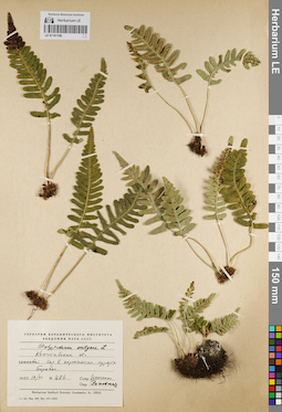
LE 01181190
Polypodium vulgare L. det. Rachkovskaya, Ekaterina Ivanovna
Collectors: Isachenko (Issatchenko), B.L. Field collecting number: 486. Collection date: 18.07.1954. Administrative regions: KZ - Aqmola Oblysy. Subregion: Бурабайский. Топоним: Бурабай (Бурабай). Groups of specimens: Образцы сектора Средней Азии; Флора Урала и прилегающих территорий (проект); Соглашение Минобрнауки №075-15-2021-1056Original label text:Кокчетавская область. Сосновый бор в окрестностях курорта Боровое.
Coordinates (geographic position): 53° 5′ 21″ N, 70° 14′ 18.12″ E ±1000 mRecord creation: 2022-02-18, Denis Melnikov, PhotoScan D2Citation: Specimen LE 01181190 // Virtual herbarium of Komarov Botanical Institute RAS — http://re.herbariumle.ru/01181190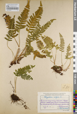
LE 01181191
Polypodium vulgare L. det. Goloskokov, Vitalii Petrovich at 07.07.1949
Collectors: Goloskokov, Vitalii Petrovich Collection date: 07.07.1949. Administrative regions: KZ - Pavlodar Oblysy. Subregion: Аккулинский (Лебяжинский) район. Топоним: Маралдинская лесная дача (Маралды). Groups of specimens: Образцы сектора Средней Азии; Флора Урала и прилегающих территорий (проект); Соглашение Минобрнауки №075-15-2021-1056Original label text:Казахская складчатая страна. Маралдинская лесная дача. Кордон Осинники (Вблизи поселка Михайловского). В скалах среди хвойного леса
Coordinates (geographic position): 51° 36′ 11.52″ N, 79° 3′ 34.29″ E ±3000 mRecord creation: 2022-02-18, Denis Melnikov, PhotoScan D2Citation: Specimen LE 01181191 // Virtual herbarium of Komarov Botanical Institute RAS — http://re.herbariumle.ru/01181191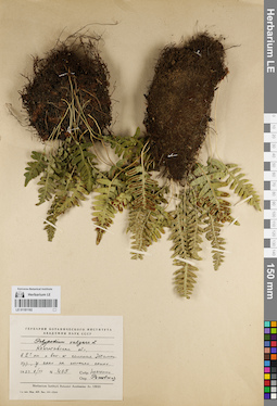
LE 01181192
Polypodium vulgare L. det. Rachkovskaya, Ekaterina Ivanovna
Collectors: Isachenko (Issatchenko), B.L. Field collecting number: 405. Collection date: 08.07.1954. Administrative regions: KZ - Aqmola Oblysy - Zerendi Audany. Топоним: Жамантуз село и озеро (Жамантуз). Groups of specimens: Образцы сектора Средней Азии; Флора Урала и прилегающих территорий (проект); Соглашение Минобрнауки №075-15-2021-1056Original label text:Кокчетавская область. В 2 км к востоку от селения Жаман-туз, у скал на склонах сопок
Coordinates (geographic position): 53° 2′ 9.56″ N, 69° 47′ 22.66″ E ±700 m, 300 m a.s.l.Record creation: 2022-02-18, Denis Melnikov, PhotoScan D2Citation: Specimen LE 01181192 // Virtual herbarium of Komarov Botanical Institute RAS — http://re.herbariumle.ru/01181192.
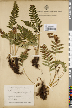
LE 01181193
Polypodium vulgare L. det. Ganeschin, Sergej Sergejewitsch at 17.05.1914
Collectors: Ganeschin, Sergej Sergejewitsch Field collecting number: 170. Collection date: 17.05.1914. Administrative regions: KZ - Aqmola Oblysy. Subregion: Бурабайский. Топоним: Бурабай (Бурабай). Expedition: Южно-Денгизская (Тенгизская) экспедиция Семенов В.Ф., Ганешин С.С. (1914 -1914)Groups of specimens: Образцы сектора Средней Азии; Флора Урала и прилегающих территорий (проект); Соглашение Минобрнауки №075-15-2021-1056Original label text:Акмолинская область. Кокчетавский уезд. В расщелинах скал по берегу озера Борового.
Coordinates (geographic position): 53° 5′ 27.75″ N, 70° 15′ 43.53″ E ±700 mRecord creation: 2022-02-18, Denis Melnikov, PhotoScan D2Citation: Specimen LE 01181193 // Virtual herbarium of Komarov Botanical Institute RAS — http://re.herbariumle.ru/01181193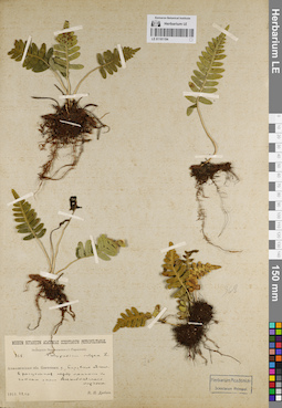
LE 01181194
Polypodium vulgare L. det. Drobow, Vasilii Petrovich at 10.06.1913
Collectors: Drobow, Vasilii Petrovich Field collecting number: 368. Collection date: 10.06.1913. Administrative regions: KZ - Aqmola Oblysy. Subregion: Бурабайский. Топоним: Бурабай (Бурабай). Expedition: Западно-Акмолинская экспедиция В.П. Дробов (Экспедиция переселенческого управления) (10.08.1913)Groups of specimens: Образцы сектора Средней Азии; Флора Урала и прилегающих территорий (проект); Соглашение Минобрнауки №075-15-2021-1056Original label text:Акмолинская область. Кокчетавский уезд. Боровское лесничество в расщелинах между камнями по сопкам около Акылбаевского кордона.
Coordinates (geographic position): 53° 2′ 5.2″ N, 70° 7′ 57.16″ E ±500 m, 400 m a.s.l.Record creation: 2022-02-18, Denis Melnikov, PhotoScan D2Citation: Specimen LE 01181194 // Virtual herbarium of Komarov Botanical Institute RAS — http://re.herbariumle.ru/01181194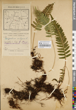
LE 01181195
Polypodium vulgare L. det. Grigorjev, Yuriy (Juri; G.) Sergeevich at 21.06.1929
Collectors: Grigorjev, Yuriy (Juri; G.) Sergeevich Field collecting number: 2. Collection date: 21.06.1929. Administrative regions: KZ - Aqmola Oblysy - Zerendi Audany. Топоним: Сосновая грива кордон (Малые Тюкты) (Сосновая грива). Expedition: Кокчетавская ботаническая экспедиция М.М. Ильин (05.07.1929)Groups of specimens: Образцы сектора Средней Азии; Флора Урала и прилегающих территорий (проект); Соглашение Минобрнауки №075-15-2021-1056Original label text:Кокчетавская область. Сосновый бор в Мало-Тюктинской лесной даче.
Coordinates (geographic position): 52° 50′ 18.31″ N, 69° 31′ 2.31″ E ±1500 mRecord creation: 2022-02-18, Denis Melnikov, PhotoScan D2Citation: Specimen LE 01181195 // Virtual herbarium of Komarov Botanical Institute RAS — http://re.herbariumle.ru/01181195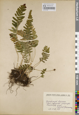
LE 01181196
Polypodium vulgare L. ⟮ID by scan⟯ det. Alibekov, Daniyar Toleuovich at 11.08.2022
Collectors: Krascheninnikov, Ippolit (Hippolit) Mikhailovich Field collecting number: 37. Collection date: 13.08.1938. Administrative regions: KZ - Aqmola Oblysy - Zerendi Audany. Топоним: Сосновая грива кордон (Малые Тюкты) (Сосновая грива). Groups of specimens: Образцы сектора Средней Азии; Флора Урала и прилегающих территорий (проект); Соглашение Минобрнауки №075-15-2021-1056Original label text:Центральный Казахстан? Мало-Тюктинское лесничество. Каменистая степь
Coordinates (geographic position): 52° 50′ 18.31″ N, 69° 31′ 2.31″ E ±1000 mRecord creation: 2022-02-18, Denis Melnikov, PhotoScan D2Citation: Specimen LE 01181196 // Virtual herbarium of Komarov Botanical Institute RAS — http://re.herbariumle.ru/01181196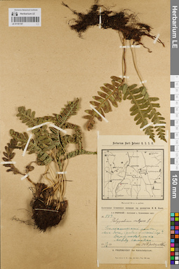
LE 01181197
Polypodium vulgare L. det. Prozorovsky, A. V. at 12.09.1929
Collectors: Prozorovsky, A. V. Field collecting number: 889. Collection date: 12.09.1929. Administrative regions: KZ - Aqmola Oblysy - Sandyqtau Audany. Топоним: Балкашинский поселок горы Сандыктау (Балкашино). Expedition: Кокчетавская ботаническая экспедиция М.М. Ильин (05.07.1929)Groups of specimens: Образцы сектора Средней Азии; Флора Урала и прилегающих территорий (проект); Соглашение Минобрнауки №075-15-2021-1056Original label text:Балкашинский район. Лесная дача "Сандыктавский бор" Верблюжья сопка, между камнями.
Coordinates (geographic position): 52° 36′ 47.5″ N, 68° 53′ 31.56″ E ±1400 mRecord creation: 2022-02-18, Denis Melnikov, PhotoScan D2Citation: Specimen LE 01181197 // Virtual herbarium of Komarov Botanical Institute RAS — http://re.herbariumle.ru/01181197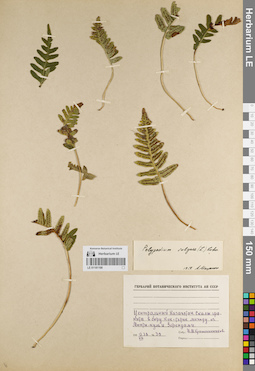
LE 01181198
Polypodium vulgare L. det. Matzenko, Alexandra Efimovna at 1957
Collectors: Krascheninnikov, Ippolit (Hippolit) Mikhailovich Field collecting number: 39. Collection date: 13.08.1938. Administrative regions: KZ - Aqmola Oblysy - Zerendi Audany. Топоним: Коктерек бор (Коктерек село). Groups of specimens: Образцы сектора Средней Азии; Флора Урала и прилегающих территорий (проект); Соглашение Минобрнауки №075-15-2021-1056Original label text:Центральный Казахстан? Скалы гранита в бору Кок-терек. Между озером Мюнты-куль (Малые тюкты) и Зерендами.
Coordinates (geographic position): 52° 50′ 52.6″ N, 69° 17′ 36.56″ E ±500 mRecord creation: 2022-02-18, Denis Melnikov, PhotoScan D2Citation: Specimen LE 01181198 // Virtual herbarium of Komarov Botanical Institute RAS — http://re.herbariumle.ru/01181198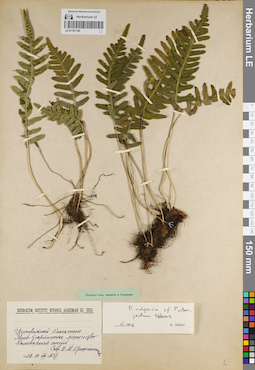
LE 01181199
Polypodium vulgare L. ⟨cf. Polypodium interjectum Shivas⟩ det. Bobrov, A. E. at 05.1976
Collectors: Krascheninnikov, Ippolit (Hippolit) Mikhailovich Field collecting number: 37. Collection date: 13.08.1938. Administrative regions: KZ - Aqmola Oblysy - Zerendi Audany. Топоним: Сосновая грива кордон (Малые Тюкты) (Сосновая грива). Groups of specimens: Образцы сектора Средней Азии; Флора Урала и прилегающих территорий (проект); Соглашение Минобрнауки №075-15-2021-1056Original label text:Центральный Казахстан? Мало-Тюктинское лесничество. Каменистая степь
Coordinates (geographic position): 52° 50′ 20.52″ N, 69° 31′ 57.95″ E ±1000 mRecord creation: 2022-02-18, Denis Melnikov, PhotoScan D2Citation: Specimen LE 01181199 // Virtual herbarium of Komarov Botanical Institute RAS — http://re.herbariumle.ru/01181199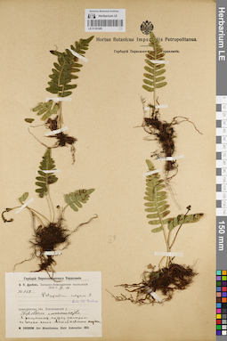
LE 01181200
Polypodium vulgare L. det. Drobow, Vasilii Petrovich at 10.06.1913
Collectors: Drobow, Vasilii Petrovich Field collecting number: 368. Collection date: 10.06.1913. Administrative regions: KZ - Aqmola Oblysy. Subregion: Бурабайский. Топоним: Бурабай (Бурабай). Expedition: Западно-Акмолинская экспедиция В.П. Дробов (Экспедиция переселенческого управления) (10.08.1913)Groups of specimens: Образцы сектора Средней Азии; Флора Урала и прилегающих территорий (проект); Соглашение Минобрнауки №075-15-2021-1056Original label text:Акмолинская область. Кокчетавский уезд. Боровское лесничество. В расщелинах между камнями, по сопкам около Акылбаевского кордона.
Coordinates (geographic position): 53° 2′ 5.71″ N, 70° 7′ 50.64″ E ±700 mRecord creation: 2022-02-18, Denis Melnikov, PhotoScan D2Citation: Specimen LE 01181200 // Virtual herbarium of Komarov Botanical Institute RAS — http://re.herbariumle.ru/01181200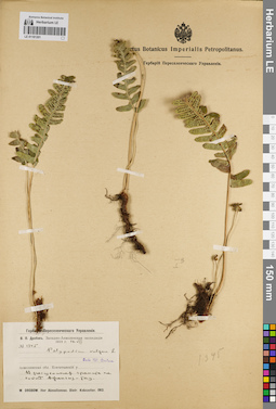
LE 01181201
Polypodium vulgare L. det. Drobow, Vasilii Petrovich at 13.08.1938
Collectors: Drobow, Vasilii Petrovich Field collecting number: 134б. Collection date: 10.08.1913. Administrative regions: KZ - North Kazakhstan - Ayyrtau Audany. Топоним: Жангызтау (Орлиная гора) (Жаман-сопка). Expedition: Западно-Акмолинская экспедиция В.П. Дробов (Экспедиция переселенческого управления) (10.08.1913)Groups of specimens: Образцы сектора Средней Азии; Флора Урала и прилегающих территорий (проект); Соглашение Минобрнауки №075-15-2021-1056Original label text:Акмолинская область. Кокчетавский уезд. В расщелинах гранита на сопках Джангиз-Тау (Жангызтау).
Coordinates (geographic position): 53° 49′ 23.73″ N, 68° 32′ 1.57″ E ±350 mRecord creation: 2022-02-18, Denis Melnikov, PhotoScan D2Citation: Specimen LE 01181201 // Virtual herbarium of Komarov Botanical Institute RAS — http://re.herbariumle.ru/01181201
LE 01181202
Polypodium vulgare L. det. Drobow, Vasilii Petrovich at 10.08.1913
Collectors: Drobow, Vasilii Petrovich Collection date: 10.08.1913. Administrative regions: KZ - North Kazakhstan - Ayyrtau Audany. Топоним: Жангызтау (Орлиная гора) (Жаман-сопка). Expedition: Западно-Акмолинская экспедиция В.П. Дробов (Экспедиция переселенческого управления) (10.08.1913)Groups of specimens: Образцы сектора Средней Азии; Флора Урала и прилегающих территорий (проект); Соглашение Минобрнауки №075-15-2021-1056Original label text:Акмолинская область. Кокчетавский уезд. На гранитах на сопках Джангыз-Тау в 40 верстах на запад от станицы Мизгильской (Келлеровка).
Coordinates (geographic position): 53° 49′ 23.73″ N, 68° 32′ 1.57″ E ±350 m, 372 m a.s.l.Record creation: 2022-02-18, Denis Melnikov, PhotoScan D2Citation: Specimen LE 01181202 // Virtual herbarium of Komarov Botanical Institute RAS — http://re.herbariumle.ru/01181202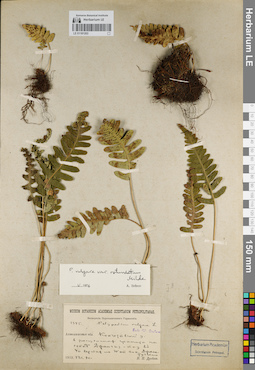
LE 01181203
Polypodium vulgare L. det. Drobow, Vasilii Petrovich at 10.08.1913
Additional identifications: Polypodium vulgare var. rotundatum Milde det. Bobrov, A. E. at 05.1976 Collectors: Drobow, Vasilii Petrovich Field collecting number: 1345. Collection date: 10.08.1913. Administrative regions: KZ - North Kazakhstan - Ayyrtau Audany. Топоним: Жангызтау (Орлиная гора) (Жаман-сопка). Expedition: Западно-Акмолинская экспедиция В.П. Дробов (Экспедиция переселенческого управления) (10.08.1913)Groups of specimens: Образцы сектора Средней Азии; Флора Урала и прилегающих территорий (проект); Соглашение Минобрнауки №075-15-2021-1056Original label text:Акмолинская область. Кокчетавский уезд. В расщелинах гранита на сопках Джангыз-Тау в 40 верстах на запад от пикета Джамантузкого
Coordinates (geographic position): 53° 49′ 23.73″ N, 68° 32′ 1.57″ E ±350 mRecord creation: 2022-02-18, Denis Melnikov, PhotoScan D2Citation: Specimen LE 01181203 // Virtual herbarium of Komarov Botanical Institute RAS — http://re.herbariumle.ru/01181203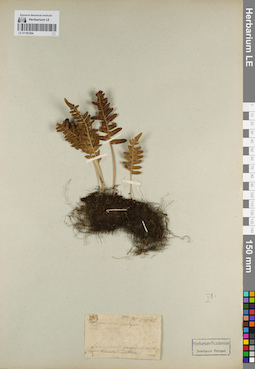
LE 01181204
Polypodium vulgare L. det. Unknown at 1842
Collectors: Schrenk, Alexandr Gustav von Field collecting number: 400. Collection date: 05.1842. Administrative regions: KZ - Aqmola Oblysy - Sandyqtau Audany. Топоним: Балкашинский поселок горы Сандыктау (Балкашино). Groups of specimens: Образцы сектора Средней Азии; Флора Урала и прилегающих территорий (проект); Соглашение Минобрнауки №075-15-2021-1056Original label text:Sandyktau ...... ... ... ... ... Koktschatau .... Atbasar
Coordinates (geographic position): 52° 37′ 1.52″ N, 68° 51′ 55.33″ E ±2000 mRecord creation: 2022-02-18, Denis Melnikov, PhotoScan D2Citation: Specimen LE 01181204 // Virtual herbarium of Komarov Botanical Institute RAS — http://re.herbariumle.ru/01181204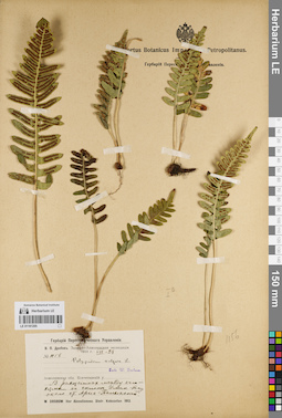
LE 01181205
Polypodium vulgare L. det. Drobow, Vasilii Petrovich at 28.07.1913
Collectors: Drobow, Vasilii Petrovich Field collecting number: 56. Collection date: 28.07.1913. Administrative regions: KZ - North Kazakhstan - Ayyrtau Audany. Топоним: Имантау озеро гора (Имантау озеро гора). Expedition: Западно-Акмолинская экспедиция В.П. Дробов (Экспедиция переселенческого управления) (10.08.1913)Groups of specimens: Образцы сектора Средней Азии; Флора Урала и прилегающих территорий (проект); Соглашение Минобрнауки №075-15-2021-1056Original label text:Акмолинская область. Кокчетавский уезд. В расщелинах между камнями на склонах Иман-Тау около станицыАрык-Балыкской
Coordinates (geographic position): 52° 56′ 52.79″ N, 68° 16′ 11.61″ E ±2500 mRecord creation: 2022-02-18, Denis Melnikov, PhotoScan D2Citation: Specimen LE 01181205 // Virtual herbarium of Komarov Botanical Institute RAS — http://re.herbariumle.ru/01181205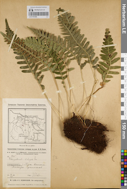
LE 01181206
Polypodium vulgare L. det. IIjin, Modest Mikhailovich at 07.07.1928
Collectors: IIjin, Modest Mikhailovich; Geynrichson, A. O. Field collecting number: 405. Collection date: 07.07.1928. Administrative regions: KZ - East Kazakhstan - Semey Qalasy. Топоним: Коконь (Кокентау). Expedition: Семипалатинская ботаническая экспедиция М.М. Ильин (22.06.1928 -17.09.1928)Groups of specimens: Образцы сектора Средней Азии; Флора Урала и прилегающих территорий (проект); Соглашение Минобрнауки №075-15-2021-1056Original label text:Семипалатинский уезд. Горы Коконь. Выходы гранитов
Coordinates (geographic position): 49° 49′ 13.43″ N, 79° 37′ 49.75″ E ±3000 mRecord creation: 2022-02-18, Denis Melnikov, PhotoScan D2Citation: Specimen LE 01181206 // Virtual herbarium of Komarov Botanical Institute RAS — http://re.herbariumle.ru/01181206