View
Add
Copy
Edit
Delete
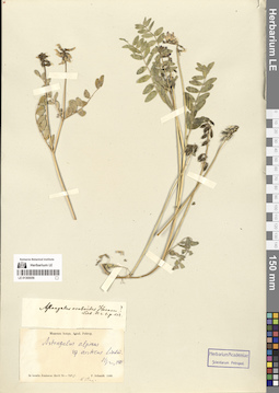
LE 01300056
Astragalus alpinus ssp. arcticus Lindm. det. Jurtzev, Boris Alexandrovich
Collectors: Schmidt, Fridericus Collection date: 08.08.1866. Administrative regions: RU - Krasnoyarskiy Kray. Place of collection: острова в низовье Енисея.Expedition: Экспедиция Академии наук на Нижний Енисей для поиска мамонта (12.02.1866 -10.1866)Groups of specimens: Образцы сектора Сибири и Дальнего Востока России; Соглашение Минобрнауки №075-15-2021-1056Original label text:In insulis Jenissaea fluvii 70-70 1/2°
Record creation: 2024-09-09, Marina Yarichina, PhotoScan D2.Citation: Specimen LE 01300056 // Virtual herbarium of Komarov Botanical Institute RAS — http://re.herbariumle.ru/01300056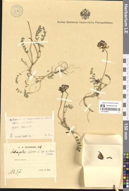
LE 01300055
Astragalus alpinus ssp. arcticus Lindm. det. Jurtzev, Boris Alexandrovich
Groups of specimens: Образцы сектора Сибири и Дальнего Востока России; Соглашение Минобрнауки №075-15-2021-1056Record creation: 2024-09-09, Marina Yarichina, PhotoScan D2.Citation: Specimen LE 01300055 // Virtual herbarium of Komarov Botanical Institute RAS — http://re.herbariumle.ru/01300055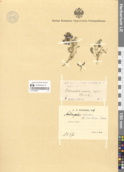
LE 01300054
Astragalus alpinus ssp. arcticus Lindm. det. Jurtzev, Boris Alexandrovich
Groups of specimens: Образцы сектора Сибири и Дальнего Востока России; Соглашение Минобрнауки №075-15-2021-1056Record creation: 2024-09-09, Marina Yarichina, PhotoScan D2.Citation: Specimen LE 01300054 // Virtual herbarium of Komarov Botanical Institute RAS — http://re.herbariumle.ru/01300054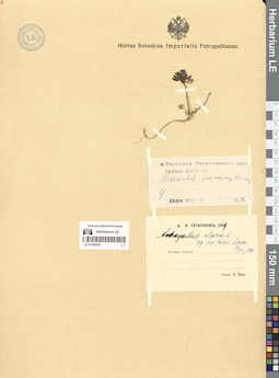
LE 01300053
Astragalus alpinus ssp. arcticus Lindm. det. Jurtzev, Boris Alexandrovich
Groups of specimens: Образцы сектора Сибири и Дальнего Востока России; Соглашение Минобрнауки №075-15-2021-1056Record creation: 2024-09-09, Marina Yarichina, PhotoScan D2.Citation: Specimen LE 01300053 // Virtual herbarium of Komarov Botanical Institute RAS — http://re.herbariumle.ru/01300053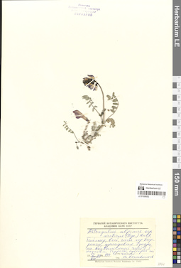
LE 01300052
Astragalus alpinus ssp. arcticus Lindm. det. Kozhevnikov, Yury Pavlovich
Groups of specimens: Образцы сектора Сибири и Дальнего Востока России; Соглашение Минобрнауки №075-15-2021-1056Record creation: 2024-09-09, Marina Yarichina, PhotoScan D2.Citation: Specimen LE 01300052 // Virtual herbarium of Komarov Botanical Institute RAS — http://re.herbariumle.ru/01300052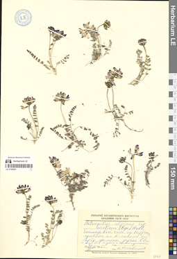
LE 01300051
Astragalus alpinus ssp. arcticus Lindm. det. Kozhevnikov, Yury Pavlovich
Groups of specimens: Образцы сектора Сибири и Дальнего Востока России; Соглашение Минобрнауки №075-15-2021-1056Record creation: 2024-09-09, Marina Yarichina, PhotoScan D2.Citation: Specimen LE 01300051 // Virtual herbarium of Komarov Botanical Institute RAS — http://re.herbariumle.ru/01300051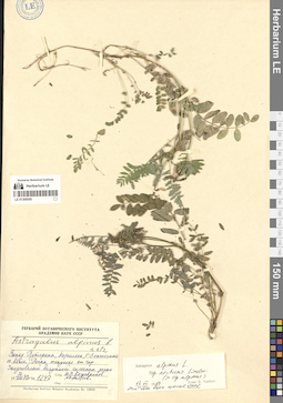
LE 01300050
Astragalus alpinus ssp. arcticus Lindm. det. Jurtzev, Boris Alexandrovich
Additional identifications: Astragalus alpinus L. det. Kozhevnikov, Yury Pavlovich Groups of specimens: Образцы сектора Сибири и Дальнего Востока России; Соглашение Минобрнауки №075-15-2021-1056Record creation: 2024-09-09, Marina Yarichina, PhotoScan D2.Citation: Specimen LE 01300050 // Virtual herbarium of Komarov Botanical Institute RAS — http://re.herbariumle.ru/01300050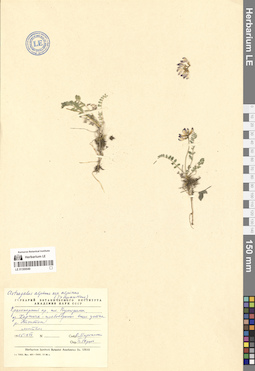
LE 01300049
Astragalus alpinus L. det. Jurtzev, Boris Alexandrovich
Groups of specimens: Образцы сектора Сибири и Дальнего Востока России; Соглашение Минобрнауки №075-15-2021-1056Record creation: 2024-09-09, Marina Yarichina, PhotoScan D2.Citation: Specimen LE 01300049 // Virtual herbarium of Komarov Botanical Institute RAS — http://re.herbariumle.ru/01300049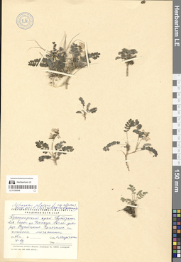
LE 01300048
Astragalus alpinus L. det. Jurtzev, Boris Alexandrovich
Groups of specimens: Образцы сектора Сибири и Дальнего Востока России; Соглашение Минобрнауки №075-15-2021-1056Record creation: 2024-09-09, Marina Yarichina, PhotoScan D2.Citation: Specimen LE 01300048 // Virtual herbarium of Komarov Botanical Institute RAS — http://re.herbariumle.ru/01300048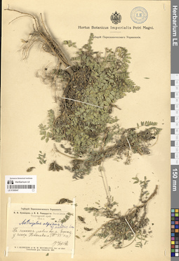
LE 01300047
Astragalus alpinus ssp. arcticus Lindm. det. Jurtzev, Boris Alexandrovich
Groups of specimens: Образцы сектора Сибири и Дальнего Востока России; Соглашение Минобрнауки №075-15-2021-1056Record creation: 2024-09-09, Marina Yarichina, PhotoScan D2.Citation: Specimen LE 01300047 // Virtual herbarium of Komarov Botanical Institute RAS — http://re.herbariumle.ru/01300047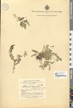
LE 01300046
Astragalus alpinus ssp. arcticus Lindm. det. Jurtzev, Boris Alexandrovich
Groups of specimens: Образцы сектора Сибири и Дальнего Востока России; Соглашение Минобрнауки №075-15-2021-1056Record creation: 2024-09-09, Marina Yarichina, PhotoScan D2.Citation: Specimen LE 01300046 // Virtual herbarium of Komarov Botanical Institute RAS — http://re.herbariumle.ru/01300046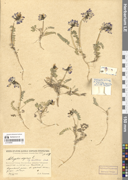
LE 01300045
Astragalus alpinus ssp. arcticus Lindm. det. Jurtzev, Boris Alexandrovich
Groups of specimens: Образцы сектора Сибири и Дальнего Востока России; Соглашение Минобрнауки №075-15-2021-1056Record creation: 2024-09-09, Marina Yarichina, PhotoScan D2.Citation: Specimen LE 01300045 // Virtual herbarium of Komarov Botanical Institute RAS — http://re.herbariumle.ru/01300045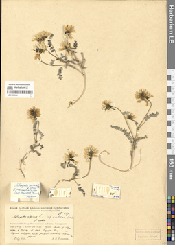
LE 01300044
Astragalus alpinus ssp. arcticus Lindm. det. Jurtzev, Boris Alexandrovich
Groups of specimens: Образцы сектора Сибири и Дальнего Востока России; Соглашение Минобрнауки №075-15-2021-1056Record creation: 2024-09-09, Marina Yarichina, PhotoScan D2.Citation: Specimen LE 01300044 // Virtual herbarium of Komarov Botanical Institute RAS — http://re.herbariumle.ru/01300044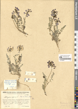
LE 01300043
Astragalus alpinus ssp. arcticus Lindm. det. Jurtzev, Boris Alexandrovich
Groups of specimens: Образцы сектора Сибири и Дальнего Востока России; Соглашение Минобрнауки №075-15-2021-1056Record creation: 2024-09-09, Marina Yarichina, PhotoScan D2.Citation: Specimen LE 01300043 // Virtual herbarium of Komarov Botanical Institute RAS — http://re.herbariumle.ru/01300043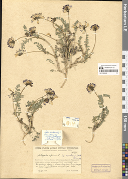
LE 01300042
Astragalus alpinus ssp. arcticus Lindm. det. Jurtzev, Boris Alexandrovich
Groups of specimens: Образцы сектора Сибири и Дальнего Востока России; Соглашение Минобрнауки №075-15-2021-1056Record creation: 2024-09-09, Marina Yarichina, PhotoScan D2.Citation: Specimen LE 01300042 // Virtual herbarium of Komarov Botanical Institute RAS — http://re.herbariumle.ru/01300042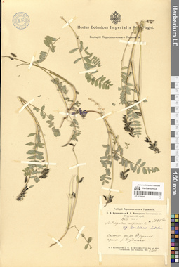
LE 01300041
Astragalus alpinus ssp. arcticus Lindm. det. Jurtzev, Boris Alexandrovich
Groups of specimens: Образцы сектора Сибири и Дальнего Востока России; Соглашение Минобрнауки №075-15-2021-1056Record creation: 2024-09-09, Marina Yarichina, PhotoScan D2.Citation: Specimen LE 01300041 // Virtual herbarium of Komarov Botanical Institute RAS — http://re.herbariumle.ru/01300041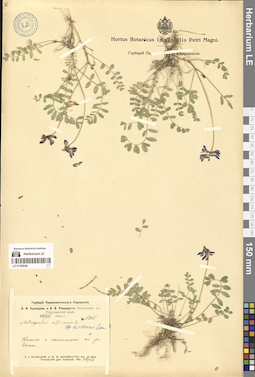
LE 01300040
Astragalus alpinus ssp. arcticus Lindm. det. Jurtzev, Boris Alexandrovich
Groups of specimens: Образцы сектора Сибири и Дальнего Востока России; Соглашение Минобрнауки №075-15-2021-1056Record creation: 2024-09-09, Marina Yarichina, PhotoScan D2.Citation: Specimen LE 01300040 // Virtual herbarium of Komarov Botanical Institute RAS — http://re.herbariumle.ru/01300040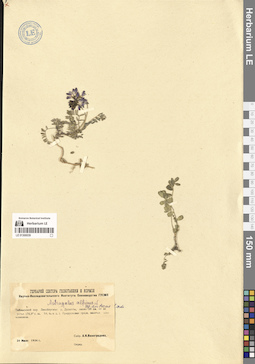
LE 01300039
Astragalus alpinus ssp. arcticus Lindm. det. Jurtzev, Boris Alexandrovich
Groups of specimens: Образцы сектора Сибири и Дальнего Востока России; Соглашение Минобрнауки №075-15-2021-1056Record creation: 2024-09-09, Marina Yarichina, PhotoScan D2.Citation: Specimen LE 01300039 // Virtual herbarium of Komarov Botanical Institute RAS — http://re.herbariumle.ru/01300039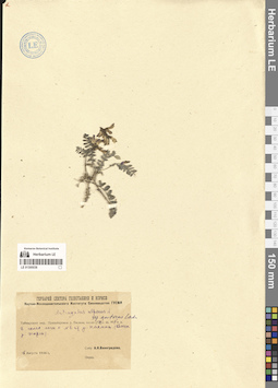
LE 01300038
Astragalus alpinus ssp. arcticus Lindm. det. Jurtzev, Boris Alexandrovich
Groups of specimens: Образцы сектора Сибири и Дальнего Востока России; Соглашение Минобрнауки №075-15-2021-1056Record creation: 2024-09-09, Marina Yarichina, PhotoScan D2.Citation: Specimen LE 01300038 // Virtual herbarium of Komarov Botanical Institute RAS — http://re.herbariumle.ru/01300038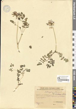
LE 01300037
Astragalus alpinus ssp. arcticus Lindm. det. Jurtzev, Boris Alexandrovich
Groups of specimens: Образцы сектора Сибири и Дальнего Востока России; Соглашение Минобрнауки №075-15-2021-1056Record creation: 2024-09-09, Marina Yarichina, PhotoScan D2.Citation: Specimen LE 01300037 // Virtual herbarium of Komarov Botanical Institute RAS — http://re.herbariumle.ru/01300037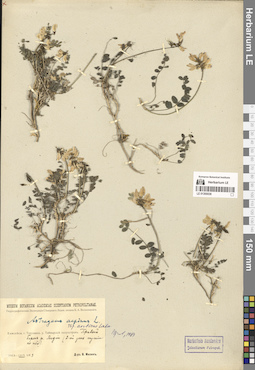
LE 01300036
Astragalus alpinus ssp. arcticus Lindm. det. Jurtzev, Boris Alexandrovich
Groups of specimens: Образцы сектора Сибири и Дальнего Востока России; Соглашение Минобрнауки №075-15-2021-1056Record creation: 2024-09-09, Marina Yarichina, PhotoScan D2.Citation: Specimen LE 01300036 // Virtual herbarium of Komarov Botanical Institute RAS — http://re.herbariumle.ru/01300036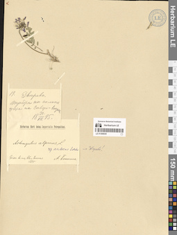
LE 01300035
Astragalus alpinus ssp. arcticus Lindm. det. Jurtzev, Boris Alexandrovich
Groups of specimens: Образцы сектора Сибири и Дальнего Востока России; Соглашение Минобрнауки №075-15-2021-1056Record creation: 2024-09-09, Marina Yarichina, PhotoScan D2.Citation: Specimen LE 01300035 // Virtual herbarium of Komarov Botanical Institute RAS — http://re.herbariumle.ru/01300035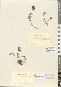
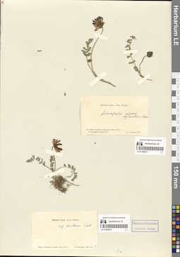
LE 01300033
Astragalus alpinus ssp. arcticus Lindm. det. Jurtzev, Boris Alexandrovich
Collectors: Ulmann Collection date: 1866. Administrative regions: RU - Krasnoyarskiy Kray - Taymyrsky Dolgano-Nenetsky District. Expedition: Экспедиция Академии наук на Нижний Енисей для поиска мамонта (12.02.1866 -10.1866)Groups of specimens: Образцы сектора Сибири и Дальнего Востока России; Соглашение Минобрнауки №075-15-2021-1056Original label text:In insula Jenisseae Brjochow dictis 70 1/2° et ad pagum Lusino 69°
Record creation: 2024-09-09, Marina Yarichina, PhotoScan D2.Citation: Specimen LE 01300033 // Virtual herbarium of Komarov Botanical Institute RAS — http://re.herbariumle.ru/01300033[остров Бреховский и пос. Лузино]
LE 01300034
Astragalus alpinus ssp. arcticus Lindm. det. Jurtzev, Boris Alexandrovich
Collectors: Schmidt, Fridericus Collection date: 18.07.1866. Administrative regions: RU - Yamalo-Nenetskiy Avtonomnyy Okrug - Tazovskiy Rayon. Expedition: Экспедиция Академии наук на Нижний Енисей для поиска мамонта (12.02.1866 -10.1866)Groups of specimens: Образцы сектора Сибири и Дальнего Востока России; Соглашение Минобрнауки №075-15-2021-1056Original label text:Regio Jenisseae, ad fluv. Gyda 70 1/2°
Record creation: 2024-09-09, Marina Yarichina, PhotoScan D2.Citation: Specimen LE 01300034 // Virtual herbarium of Komarov Botanical Institute RAS — http://re.herbariumle.ru/01300034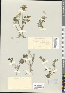
LE 01300031
Astragalus alpinus ssp. arcticus Lindm. det. Jurtzev, Boris Alexandrovich
Collectors: Schmidt, Fridericus Collection date: 1866. Administrative regions: RU - Krasnoyarskiy Kray - Taymyrsky Dolgano-Nenetsky District. Place of collection: острова в низовье Енисея.Expedition: Экспедиция Академии наук на Нижний Енисей для поиска мамонта (12.02.1866 -10.1866)Groups of specimens: Образцы сектора Сибири и Дальнего Востока России; Соглашение Минобрнауки №075-15-2021-1056Original label text:In insulis Jenisseae fluvii 70-70 1/2°
Record creation: 2024-09-09, Marina Yarichina, PhotoScan D2.Citation: Specimen LE 01300031 // Virtual herbarium of Komarov Botanical Institute RAS — http://re.herbariumle.ru/01300031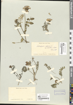
LE 01300032
Astragalus alpinus ssp. arcticus Lindm. det. Jurtzev, Boris Alexandrovich
Collectors: Schmidt, Fridericus Collection date: 08.1866. Administrative regions: RU - Krasnoyarskiy Kray - Taymyrsky Dolgano-Nenetsky District. Place of collection: острова в низовье Енисея.Expedition: Экспедиция Академии наук на Нижний Енисей для поиска мамонта (12.02.1866 -10.1866)Groups of specimens: Образцы сектора Сибири и Дальнего Востока России; Соглашение Минобрнауки №075-15-2021-1056Original label text:Ad Jenisseam: circa pagum Karaul (?) 69 1/2°
Coordinates (geographic position): 70° 4′ 28.75″ N, 83° 10′ 14.68″ E ±1000 mComment: В первой половине августа Шмидт работал в районе островов в низовье Енисея. 19-го вернулся в Дудинку.
Record creation: 2024-09-09, Marina Yarichina, PhotoScan D2.Citation: Specimen LE 01300032 // Virtual herbarium of Komarov Botanical Institute RAS — http://re.herbariumle.ru/01300032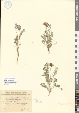
LE 01300030
Astragalus alpinus ssp. arcticus Lindm. det. Jurtzev, Boris Alexandrovich
Groups of specimens: Образцы сектора Сибири и Дальнего Востока России; Соглашение Минобрнауки №075-15-2021-1056Record creation: 2024-09-09, Marina Yarichina, PhotoScan D2.Citation: Specimen LE 01300030 // Virtual herbarium of Komarov Botanical Institute RAS — http://re.herbariumle.ru/01300030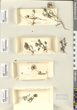
LE 01300029
Astragalus alpinus ssp. arcticus Lindm. det. Jurtzev, Boris Alexandrovich
Collectors: Lopatin, Innokenty Alexandrovich Collection date: 17.07.1866. Administrative regions: RU - Krasnoyarskiy Kray - Taymyrsky Dolgano-Nenetsky District. Place of collection: острова в низовье Енисея.Expedition: Экспедиция Академии наук на Нижний Енисей для поиска мамонта (12.02.1866 -10.1866)Groups of specimens: Образцы сектора Сибири и Дальнего Востока России; Соглашение Минобрнауки №075-15-2021-1056Original label text:Ad ostia Jenisseae 72°
Record creation: 2024-09-09, Marina Yarichina, PhotoScan D2.Citation: Specimen LE 01300029 // Virtual herbarium of Komarov Botanical Institute RAS — http://re.herbariumle.ru/01300029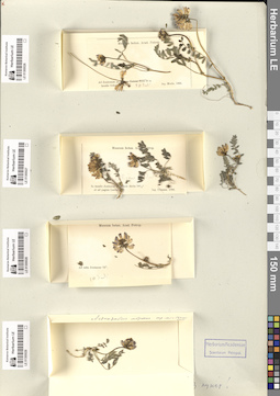
LE 01300026
Astragalus alpinus ssp. arcticus Lindm. det. Jurtzev, Boris Alexandrovich
Collectors: Merlo Collection date: 20.07.1866. Administrative regions: RU - Krasnoyarskiy Kray - Taymyrsky Dolgano-Nenetsky District. Expedition: Экспедиция Академии наук на Нижний Енисей для поиска мамонта (12.02.1866 -10.1866)Groups of specimens: Образцы сектора Сибири и Дальнего Востока России; Соглашение Минобрнауки №075-15-2021-1056Original label text:Ad Jenisseam in insulis Ochotensibus. 70°
Coordinates (geographic position): 70° 36′ 5.16″ N, 82° 40′ 15.52″ E ±5000 mRecord creation: 2024-09-09, Marina Yarichina, PhotoScan D2.Citation: Specimen LE 01300026 // Virtual herbarium of Komarov Botanical Institute RAS — http://re.herbariumle.ru/01300026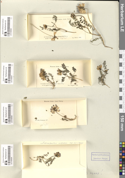
LE 01300028
Astragalus alpinus ssp. arcticus Lindm. det. Jurtzev, Boris Alexandrovich
Collectors: Lopatin, Innokenty Alexandrovich Collection date: 30.07.1866. Administrative regions: RU - Krasnoyarskiy Kray - Taymyrsky Dolgano-Nenetsky District. Expedition: Экспедиция Академии наук на Нижний Енисей для поиска мамонта (12.02.1866 -10.1866)Groups of specimens: Образцы сектора Сибири и Дальнего Востока России; Соглашение Минобрнауки №075-15-2021-1056Original label text:Ad ostia Jenisseae 72°
Coordinates (geographic position): 69° 24′ 6.5″ N, 86° 10′ 7.9″ E ±1000 mRecord creation: 2024-09-09, Marina Yarichina, PhotoScan D2.Citation: Specimen LE 01300028 // Virtual herbarium of Komarov Botanical Institute RAS — http://re.herbariumle.ru/01300028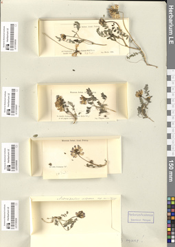
LE 01300027
Astragalus alpinus ssp. arcticus Lindm. det. Jurtzev, Boris Alexandrovich
Collectors: Saweljew Collection date: 08.07.1866. Administrative regions: RU - Krasnoyarskiy Kray - Taymyrsky Dolgano-Nenetsky District. Expedition: Экспедиция Академии наук на Нижний Енисей для поиска мамонта (12.02.1866 -10.1866)Groups of specimens: Образцы сектора Сибири и Дальнего Востока России; Соглашение Минобрнауки №075-15-2021-1056Original label text:In insulis Jenisseae dictis 70 1/2 et ad pagum Luzino
Coordinates (geographic position): 68° 54′ 6.7″ N, 85° 59′ 12.83″ E ±500 mRecord creation: 2024-09-09, Marina Yarichina, PhotoScan D2.Citation: Specimen LE 01300027 // Virtual herbarium of Komarov Botanical Institute RAS — http://re.herbariumle.ru/01300027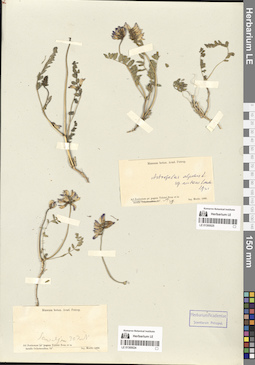
LE 01300025
Astragalus alpinus ssp. arcticus Lindm. det. Jurtzev, Boris Alexandrovich
Collectors: Merlo Collection date: 08.1866. Administrative regions: RU - Krasnoyarskiy Kray - Taymyrsky Dolgano-Nenetsky District. Expedition: Экспедиция Академии наук на Нижний Енисей для поиска мамонта (12.02.1866 -10.1866)Groups of specimens: Образцы сектора Сибири и Дальнего Востока России; Соглашение Минобрнауки №075-15-2021-1056Original label text:Ad Jenisseam prю pagum Tolstoi Noss
Record creation: 2024-09-09, Marina Yarichina, PhotoScan D2.Citation: Specimen LE 01300025 // Virtual herbarium of Komarov Botanical Institute RAS — http://re.herbariumle.ru/01300025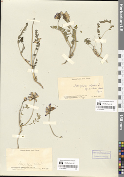
LE 01300024
Astragalus alpinus ssp. arcticus Lindm. det. Jurtzev, Boris Alexandrovich
Collectors: Saweljew Collection date: 30.07.1866. Administrative regions: RU - Krasnoyarskiy Kray - Taymyrsky Dolgano-Nenetsky District. Expedition: Экспедиция Академии наук на Нижний Енисей для поиска мамонта (12.02.1866 -10.1866)Groups of specimens: Образцы сектора Сибири и Дальнего Востока России; Соглашение Минобрнауки №075-15-2021-1056Original label text:Ad Jenisseam insulis Ochotensibus 70°
Coordinates (geographic position): 70° 36′ 5.16″ N, 82° 40′ 15.52″ E ±5000 mRecord creation: 2024-09-09, Marina Yarichina, PhotoScan D2.Citation: Specimen LE 01300024 // Virtual herbarium of Komarov Botanical Institute RAS — http://re.herbariumle.ru/01300024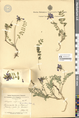
LE 01300023
Astragalus alpinus ssp. arcticus Lindm. det. Jurtzev, Boris Alexandrovich
Groups of specimens: Образцы сектора Сибири и Дальнего Востока России; Соглашение Минобрнауки №075-15-2021-1056Record creation: 2024-09-09, Marina Yarichina, PhotoScan D2.Citation: Specimen LE 01300023 // Virtual herbarium of Komarov Botanical Institute RAS — http://re.herbariumle.ru/01300023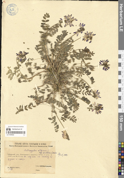
LE 01300022
Astragalus alpinus ssp. arcticus Lindm. det. Jurtzev, Boris Alexandrovich
Groups of specimens: Образцы сектора Сибири и Дальнего Востока России; Соглашение Минобрнауки №075-15-2021-1056Record creation: 2024-09-09, Marina Yarichina, PhotoScan D2.Citation: Specimen LE 01300022 // Virtual herbarium of Komarov Botanical Institute RAS — http://re.herbariumle.ru/01300022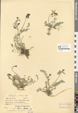
LE 01300021
Astragalus alpinus ssp. arcticus Lindm. det. Jurtzev, Boris Alexandrovich
Groups of specimens: Образцы сектора Сибири и Дальнего Востока России; Соглашение Минобрнауки №075-15-2021-1056Record creation: 2024-09-09, Marina Yarichina, PhotoScan D2.Citation: Specimen LE 01300021 // Virtual herbarium of Komarov Botanical Institute RAS — http://re.herbariumle.ru/01300021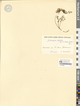
LE 01300020
Astragalus alpinus ssp. arcticus Lindm. det. Jurtzev, Boris Alexandrovich
Groups of specimens: Образцы сектора Сибири и Дальнего Востока России; Соглашение Минобрнауки №075-15-2021-1056Record creation: 2024-09-09, Marina Yarichina, PhotoScan D2.Citation: Specimen LE 01300020 // Virtual herbarium of Komarov Botanical Institute RAS — http://re.herbariumle.ru/01300020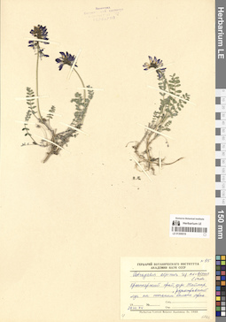
LE 01300019
Astragalus alpinus ssp. arcticus Lindm. det. Jurtzev, Boris Alexandrovich
Groups of specimens: Образцы сектора Сибири и Дальнего Востока России; Соглашение Минобрнауки №075-15-2021-1056Record creation: 2024-09-09, Marina Yarichina, PhotoScan D2.Citation: Specimen LE 01300019 // Virtual herbarium of Komarov Botanical Institute RAS — http://re.herbariumle.ru/01300019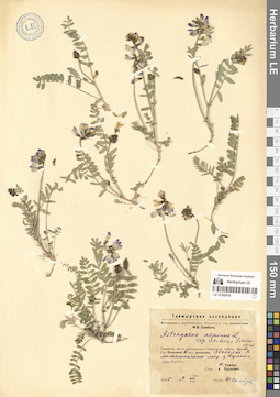
LE 01300018
Astragalus alpinus ssp. arcticus Lindm. det. Jurtzev, Boris Alexandrovich
Groups of specimens: Образцы сектора Сибири и Дальнего Востока России; Соглашение Минобрнауки №075-15-2021-1056Record creation: 2024-09-09, Marina Yarichina, PhotoScan D2.Citation: Specimen LE 01300018 // Virtual herbarium of Komarov Botanical Institute RAS — http://re.herbariumle.ru/01300018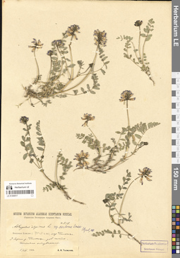
LE 01300017
Astragalus alpinus ssp. arcticus Lindm. det. Jurtzev, Boris Alexandrovich
Groups of specimens: Образцы сектора Сибири и Дальнего Востока России; Соглашение Минобрнауки №075-15-2021-1056Record creation: 2024-09-09, Marina Yarichina, PhotoScan D2.Citation: Specimen LE 01300017 // Virtual herbarium of Komarov Botanical Institute RAS — http://re.herbariumle.ru/01300017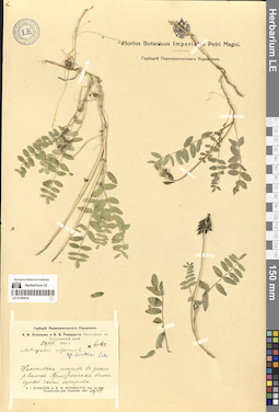
LE 01300016
Astragalus alpinus ssp. arcticus Lindm. det. Jurtzev, Boris Alexandrovich
Groups of specimens: Образцы сектора Сибири и Дальнего Востока России; Соглашение Минобрнауки №075-15-2021-1056Record creation: 2024-09-09, Marina Yarichina, PhotoScan D2.Citation: Specimen LE 01300016 // Virtual herbarium of Komarov Botanical Institute RAS — http://re.herbariumle.ru/01300016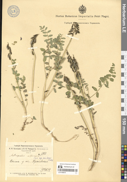
LE 01300015
Astragalus alpinus ssp. arcticus Lindm. det. Jurtzev, Boris Alexandrovich
Groups of specimens: Образцы сектора Сибири и Дальнего Востока России; Соглашение Минобрнауки №075-15-2021-1056Record creation: 2024-09-09, Marina Yarichina, PhotoScan D2.Citation: Specimen LE 01300015 // Virtual herbarium of Komarov Botanical Institute RAS — http://re.herbariumle.ru/01300015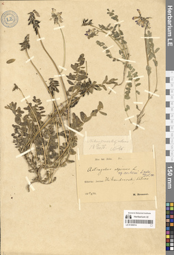
LE 01300014
Astragalus alpinus ssp. arcticus Lindm. det. Jurtzev, Boris Alexandrovich
Collectors: Brenner, Marten Magnus Wilhelm Collection date: 19.08.1876. Administrative regions: RU - Krasnoyarskiy Kray - Taymyrsky Dolgano-Nenetsky District. Groups of specimens: Образцы сектора Сибири и Дальнего Востока России; Соглашение Минобрнауки №075-15-2021-1056Original label text:Sibiria: Jenisei, Nikandrovski ostrov
Coordinates (geographic position): 70° 36′ 43.91″ N, 83° 13′ 17.55″ E ±1000 mRecord creation: 2024-09-09, Marina Yarichina, PhotoScan D2.Citation: Specimen LE 01300014 // Virtual herbarium of Komarov Botanical Institute RAS — http://re.herbariumle.ru/01300014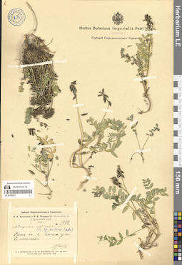
LE 01300013
Astragalus alpinus ssp. arcticus Lindm. det. Jurtzev, Boris Alexandrovich
Groups of specimens: Образцы сектора Сибири и Дальнего Востока России; Соглашение Минобрнауки №075-15-2021-1056Record creation: 2024-09-09, Marina Yarichina, PhotoScan D2.Citation: Specimen LE 01300013 // Virtual herbarium of Komarov Botanical Institute RAS — http://re.herbariumle.ru/01300013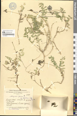
LE 01300012
Astragalus alpinus ssp. arcticus Lindm. det. Jurtzev, Boris Alexandrovich
Additional identifications: Astragalus alpinus L. det. Ikonnikov-Galitzky, Nikolai Petrovic Groups of specimens: Образцы сектора Сибири и Дальнего Востока России; Соглашение Минобрнауки №075-15-2021-1056Record creation: 2024-09-09, Marina Yarichina, PhotoScan D2.Citation: Specimen LE 01300012 // Virtual herbarium of Komarov Botanical Institute RAS — http://re.herbariumle.ru/01300012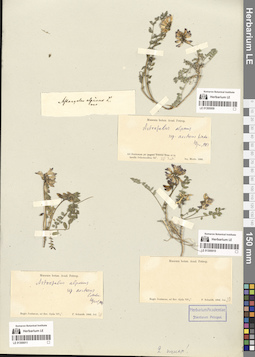
LE 01300009
Astragalus alpinus ssp. arcticus Lindm. det. Jurtzev, Boris Alexandrovich
Collectors: Merlo Collection date: 20.06.1866. Administrative regions: RU - Krasnoyarskiy Kray. Expedition: Экспедиция Академии наук на Нижний Енисей для поиска мамонта (12.02.1866 -10.1866)Groups of specimens: Образцы сектора Сибири и Дальнего Востока России; Соглашение Минобрнауки №075-15-2021-1056Original label text:Ad Jenisseam ad in insulis Ochotensibus 70
Coordinates (geographic position): 70° 36′ 14.07″ N, 82° 39′ 5.92″ E ±2000 mRecord creation: 2024-09-09, Marina Yarichina, PhotoScan D2.Citation: Specimen LE 01300009 // Virtual herbarium of Komarov Botanical Institute RAS — http://re.herbariumle.ru/01300009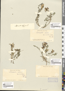
LE 01300010
Astragalus alpinus ssp. arcticus Lindm. det. Jurtzev, Boris Alexandrovich
Collectors: Schmidt, Fridericus Collection date: 20.07.1866. Administrative regions: RU - Yamalo-Nenetskiy Avtonomnyy Okrug - Tazovskiy Rayon. Place of collection: на р. Гыда (ad fluv. Gyda).Expedition: Экспедиция Академии наук на Нижний Енисей для поиска мамонта (12.02.1866 -10.1866)Groups of specimens: Образцы сектора Сибири и Дальнего Востока России; Соглашение Минобрнауки №075-15-2021-1056Original label text:Museum botan. Acad. Petrop. Regio Jenisseae, ad fluv. Gyda 70 1/2°. F. Schmidt. 1866. Jul. 20
Coordinates (geographic position): 70° 55′ 37.5″ N, 79° 3′ 40.68″ E ±22000 mRecord creation: 2024-09-09, Marina Yarichina, PhotoScan D2.Citation: Specimen LE 01300010 // Virtual herbarium of Komarov Botanical Institute RAS — http://re.herbariumle.ru/01300010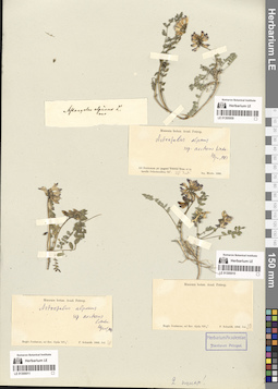
LE 01300011
Astragalus alpinus ssp. arcticus Lindm. det. Jurtzev, Boris Alexandrovich at 1981
Collectors: Schmidt, Fridericus Collection date: 30.07.1866. Administrative regions: RU - Yamalo-Nenetskiy Avtonomnyy Okrug - Tazovskiy Rayon. Place of collection: на р. Гыда (ad fluv. Gyda).Expedition: Экспедиция Академии наук на Нижний Енисей для поиска мамонта (12.02.1866 -10.1866)Groups of specimens: Образцы сектора Сибири и Дальнего Востока России; Соглашение Минобрнауки №075-15-2021-1056Original label text:Regio Jenisseae, ad fluv. Gyda 70 1/2°.
Landscape in location of collection: берег рекиCoordinates (geographic position): 70° 55′ 37.5″ N, 79° 3′ 40.68″ E ±22000 mRecord creation: 2024-09-09, Marina Yarichina, PhotoScan D2.Citation: Specimen LE 01300011 // Virtual herbarium of Komarov Botanical Institute RAS — http://re.herbariumle.ru/01300011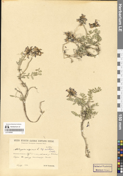
LE 01300008
Astragalus alpinus ssp. arcticus Lindm. det. Jurtzev, Boris Alexandrovich
Additional identifications: Astragalus alpinus L. det. Tolmatchew, Alexandr Innokentevich Collectors: Tolmatchew, Alexandr Innokentevich Field collecting number: 525. Collection date: 12.08.1926. Administrative regions: RU - Krasnoyarskiy Kray - Taymyrsky Dolgano-Nenetsky District. Place of collection: Низовья р. Енисей, отмель у Сопочной Карги, сухой галечник.Expedition: Гыданская Экспедиция Академии Наук (1926)Groups of specimens: Образцы сектора Сибири и Дальнего Востока России; Соглашение Минобрнауки №075-15-2021-1056; Museum Botanicum Academiae Scientiarum RossicaeObject features: ЧастоOriginal label text:Гыданская Экспедиция Академии Наук.
Landscape in location of collection: отмель в низовьях крупной рекиHabitat / plant community in location of collecting: отмельSubstrate in collecting location: сухой галечникCoordinates (geographic position): 71° 53′ 3.06″ N, 82° 41′ 24.82″ E ±300 mRecord creation: 2024-09-09, Marina Yarichina, PhotoScan D2.Citation: Specimen LE 01300008 // Virtual herbarium of Komarov Botanical Institute RAS — http://re.herbariumle.ru/01300008Низовья Енисея (71°53' с.ш.), отмель у Сопочной Корги. По сухому галечнику. Часто.
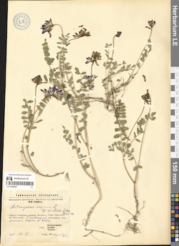
LE 01300007
Astragalus alpinus ssp. arcticus Lindm. det. Jurtzev, Boris Alexandrovich at 1981
Additional identifications: Astragalus alpinus L. det. Sambuk, Feodosij Viktorovich at 1934 Collectors: Alexandrova, Vera Danilovna; Tjulina (Tyulina), Lyudmila Nikolaevna; Sambuk, Feodosij Viktorovich Collection date: 19.07.1934. Administrative regions: RU - Krasnoyarskiy Kray - Taymyrsky Dolgano-Nenetsky District. Place of collection: окрестности пос. Волочанка, у подножия склона коренного берега р. Хета.Expedition: Таймырская экспедиция Всесоюзного Арктического Института под начальством Ф.В. Самбука (1934)Groups of specimens: Образцы сектора Сибири и Дальнего Востока России; Соглашение Минобрнауки №075-15-2021-1056Original label text:Таймырская экспедиция Всесоюзного Арктического Института под начальством Ф.В. Самбука.
Landscape in location of collection: у подножия склона коренного берега рекиCoordinates (geographic position): 70° 58′ 29.05″ N, 94° 33′ 21.24″ E ±1500 mRecord creation: 2024-09-09, Marina Yarichina, PhotoScan D2.Citation: Specimen LE 01300007 // Virtual herbarium of Komarov Botanical Institute RAS — http://re.herbariumle.ru/01300007Северно-Сибирская равнина, бассейн р. Хеты. Окрестности Волочанки. У подножия склона коренного берега р. Хеты.