View
Add
Copy
Edit
Delete
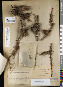
LE 01146123
Groups of specimens: Образцы сектора Сибири и Дальнего Востока России; Соглашение Минобрнауки №075-15-2021-1056Record creation: 2021-12-02, Larisa Orlova, PhotoScan D2Citation: Specimen LE 01146123 // Virtual herbarium of Komarov Botanical Institute RAS — http://re.herbariumle.ru/01146123
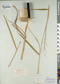
LE 01154496
Groups of specimens: Гербарий Карла Бернхарда Триниуса; Соглашение Минобрнауки №075-15-2021-1056Record creation: 2021-12-02, Marina Yarichina, PhotoScan D2Citation: Specimen LE 01154496 // Virtual herbarium of Komarov Botanical Institute RAS — http://re.herbariumle.ru/01154496
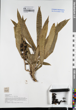
LE 01077618
Ophiopogon fruticulosus Aver., N.Tanaka & K.S.Nguyen det. Averyanov, Leonid Vladimirovich at 24.11.2014
Collectors: Averyanov, Leonid Vladimirovich; Tien Hiep Nguyen; Khang Sinh Nguyen; et al. Field collecting number: CPC7605. Collection date: 24.11.2014. Administrative regions: VN - Tinh Cao Bang. Groups of specimens: L. V. Averyanov specimens; L. V. Averyanov herbarium; Соглашение Минобрнауки №075-15-2021-1056Original label text:FLORA OF VIETNAM
Convallariaceae
Ophiopogon fruticulosus Aver., Tanaka, Khang
Cao Bang Prov., Bao Lac Distr., Dinh Phung municipality, Ban Meo village.
Secondary broad-leaved evergreen forest on steep stream slope composed by shale stratified limestone at elevation 800-900 m a.s.l. around point 22°44′32.0″N 105°46′29.1″E.
Undershrub 1-1.5 m tall in steep shady rocky stream slope. Not common.
24 November 2014 CPC 7605
Coll.: L.Averyanov, N.T.Hiep, N.S.Khang, T.Maisak, L.Osinovetz
Coordinates (geographic position): 22° 44′ 32″ N, 105° 46′ 29.1″ E ±1000 mRecord creation: 2021-12-02, Tatiana Maisak, PhotoScan D2Citation: Specimen LE 01077618 // Virtual herbarium of Komarov Botanical Institute RAS — http://re.herbariumle.ru/01077618Convallariaceae
Ophiopogon fruticulosus Aver., Tanaka, Khang
Cao Bang Prov., Bao Lac Distr., Dinh Phung municipality, Ban Meo village.
Secondary broad-leaved evergreen forest on steep stream slope composed by shale stratified limestone at elevation 800-900 m a.s.l. around point 22°44′32.0″N 105°46′29.1″E.
Undershrub 1-1.5 m tall in steep shady rocky stream slope. Not common.
24 November 2014 CPC 7605
Coll.: L.Averyanov, N.T.Hiep, N.S.Khang, T.Maisak, L.Osinovetz
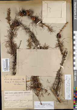
LE 01146122
Groups of specimens: Образцы сектора Сибири и Дальнего Востока России; Соглашение Минобрнауки №075-15-2021-1056Record creation: 2021-12-02, Larisa Orlova, PhotoScan D2Citation: Specimen LE 01146122 // Virtual herbarium of Komarov Botanical Institute RAS — http://re.herbariumle.ru/01146122
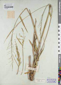
LE 01154495
Groups of specimens: Гербарий Карла Бернхарда Триниуса; Соглашение Минобрнауки №075-15-2021-1056Record creation: 2021-12-02, Marina Yarichina, PhotoScan D2Citation: Specimen LE 01154495 // Virtual herbarium of Komarov Botanical Institute RAS — http://re.herbariumle.ru/01154495
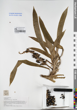
LE 01077617
Ophiopogon fruticulosus Aver., N.Tanaka & K.S.Nguyen det. Averyanov, Leonid Vladimirovich at 24.11.2014
Collectors: Averyanov, Leonid Vladimirovich; Tien Hiep Nguyen; Khang Sinh Nguyen; et al. Field collecting number: CPC7605. Collection date: 24.11.2014. Administrative regions: VN - Tinh Cao Bang. Groups of specimens: L. V. Averyanov specimens; L. V. Averyanov herbarium; Соглашение Минобрнауки №075-15-2021-1056Original label text:FLORA OF VIETNAM
Convallariaceae
Ophiopogon fruticulosus Aver., Tanaka, Khang
Cao Bang Prov., Bao Lac Distr., Dinh Phung municipality, Ban Meo village.
Secondary broad-leaved evergreen forest on steep stream slope composed by shale stratified limestone at elevation 800-900 m a.s.l. around point 22°44′32.0″N 105°46′29.1″E.
Undershrub 1-1.5 m tall in steep shady rocky stream slope. Not common.
24 November 2014 CPC 7605
Coll.: L.Averyanov, N.T.Hiep, N.S.Khang, T.Maisak, L.Osinovetz
Coordinates (geographic position): 22° 44′ 32″ N, 105° 46′ 29.1″ E ±1000 mRecord creation: 2021-12-02, Tatiana Maisak, PhotoScan D2Citation: Specimen LE 01077617 // Virtual herbarium of Komarov Botanical Institute RAS — http://re.herbariumle.ru/01077617Convallariaceae
Ophiopogon fruticulosus Aver., Tanaka, Khang
Cao Bang Prov., Bao Lac Distr., Dinh Phung municipality, Ban Meo village.
Secondary broad-leaved evergreen forest on steep stream slope composed by shale stratified limestone at elevation 800-900 m a.s.l. around point 22°44′32.0″N 105°46′29.1″E.
Undershrub 1-1.5 m tall in steep shady rocky stream slope. Not common.
24 November 2014 CPC 7605
Coll.: L.Averyanov, N.T.Hiep, N.S.Khang, T.Maisak, L.Osinovetz
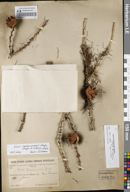
LE 01146121
Groups of specimens: Образцы сектора Сибири и Дальнего Востока России; Соглашение Минобрнауки №075-15-2021-1056Record creation: 2021-12-02, Larisa Orlova, PhotoScan D2Citation: Specimen LE 01146121 // Virtual herbarium of Komarov Botanical Institute RAS — http://re.herbariumle.ru/01146121
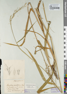
LE 01154494
Groups of specimens: Гербарий Карла Бернхарда Триниуса; Соглашение Минобрнауки №075-15-2021-1056Record creation: 2021-12-02, Marina Yarichina, PhotoScan D2Citation: Specimen LE 01154494 // Virtual herbarium of Komarov Botanical Institute RAS — http://re.herbariumle.ru/01154494
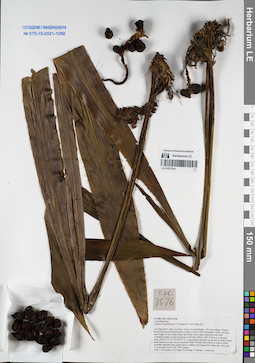
LE 01077616
Tupistra fungilliformis F.T.Wang & S.Yun Liang ⟮prelim. ID⟯ det. Averyanov, Leonid Vladimirovich at 21.11.2014
Collectors: Averyanov, Leonid Vladimirovich; Tien Hiep Nguyen; Khang Sinh Nguyen; et al. Field collecting number: CPC7576. Collection date: 21.11.2014. Administrative regions: VN - Tinh Cao Bang. Groups of specimens: L. V. Averyanov specimens; L. V. Averyanov herbarium; Соглашение Минобрнауки №075-15-2021-1056Original label text:FLORA OF VIETNAM
Convallariaceae
Tupistra fungilliformis F.T.Wang & S.Yun Liang var.?
Cao Bang Prov., Bao Lac Distr., Hong An municipality, Mi Lung village.
Primary broad-leaved and mixed humid evergreen forest (with Podocarpus, Pinus, Fokienia and Tsuga) on very steep slopes and along rocky ridge composed with solid crystalline highly eroded limestone at elevation about 1500-1550 m a.s.l. around point 22°49′15.4″N 105°49′53″E.
Large humus epiphyte on old tree in shady humid karst funnel on rocky mossy mountain slope. Flowers dull yellow to almost white, perianth segments dirty purple-brown, anthers and stigma dull yellowish. Very rare.
21 November 2014 CPC 7576 photos.
Coll.: L.Averyanov, N.T.Hiep, N.S.Khang, T.Maisak, L.Osinovetz
Fl. and coll. in 10 Jan. 2019, L. Averyanov, CPC 7576/1. Flowers purple, stigma, stamens and base of tube (inside) white. Photos.
Coordinates (geographic position): 22° 49′ 15.4″ N, 105° 49′ 53″ E ±1000 mRecord creation: 2021-12-02, Tatiana Maisak, PhotoScan D2Citation: Specimen LE 01077616 // Virtual herbarium of Komarov Botanical Institute RAS — http://re.herbariumle.ru/01077616Convallariaceae
Tupistra fungilliformis F.T.Wang & S.Yun Liang var.?
Cao Bang Prov., Bao Lac Distr., Hong An municipality, Mi Lung village.
Primary broad-leaved and mixed humid evergreen forest (with Podocarpus, Pinus, Fokienia and Tsuga) on very steep slopes and along rocky ridge composed with solid crystalline highly eroded limestone at elevation about 1500-1550 m a.s.l. around point 22°49′15.4″N 105°49′53″E.
Large humus epiphyte on old tree in shady humid karst funnel on rocky mossy mountain slope. Flowers dull yellow to almost white, perianth segments dirty purple-brown, anthers and stigma dull yellowish. Very rare.
21 November 2014 CPC 7576 photos.
Coll.: L.Averyanov, N.T.Hiep, N.S.Khang, T.Maisak, L.Osinovetz
Fl. and coll. in 10 Jan. 2019, L. Averyanov, CPC 7576/1. Flowers purple, stigma, stamens and base of tube (inside) white. Photos.
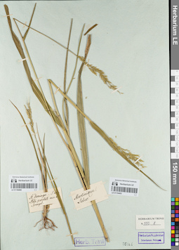
LE 01154492
Groups of specimens: Гербарий Карла Бернхарда Триниуса; Соглашение Минобрнауки №075-15-2021-1056Record creation: 2021-12-02, Marina Yarichina, PhotoScan D2Citation: Specimen LE 01154492 // Virtual herbarium of Komarov Botanical Institute RAS — http://re.herbariumle.ru/01154492
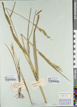
LE 01154493
Groups of specimens: Гербарий Карла Бернхарда Триниуса; Соглашение Минобрнауки №075-15-2021-1056Record creation: 2021-12-02, Marina Yarichina, PhotoScan D2Citation: Specimen LE 01154493 // Virtual herbarium of Komarov Botanical Institute RAS — http://re.herbariumle.ru/01154493
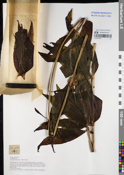
LE 01077615
Polygonatum kingianum Collett & Hemsl. det. Averyanov, Leonid Vladimirovich at 03.04.2015
Collectors: Tien Hiep Nguyen; Averyanov, Leonid Vladimirovich; Khang Sinh Nguyen; et al. Field collecting number: LA-VN949. Collection date: 03.04.2015. Administrative regions: LA - Xiangkhouang. Groups of specimens: L. V. Averyanov specimens; L. V. Averyanov herbarium; Соглашение Минобрнауки №075-15-2021-1056Original label text:FLORA OF LAOS
Convallariaceae
Polygonatum kingianum Collett & Hemsl.
Xiangkhouang Prov., Peak Distr., Khoang village, Pa Khao mt., around point 19°33′02.2′N 103°39′56.3′E.
Primary and secondary broad-leaved evergreen dry forest on solid rocky highly eroded limestone at elev. 1200-1450 m a.s.l.
Terrestrial and lithophytic herb with scandent stem to 3 m long. Flowers red, apices of tepals green. Not rare.
LA-VN 949 3 April 2015
Coll.: N.T.Hiep, L.Averyanov, N.S.Khang, N.Q.Hieu, T.Maisak, Pheng Phengsintham.
Coordinates (geographic position): 19° 33′ 2.2″ N, 103° 39′ 56.3″ E ±1000 mRecord creation: 2021-12-02, Tatiana Maisak, PhotoScan D2Citation: Specimen LE 01077615 // Virtual herbarium of Komarov Botanical Institute RAS — http://re.herbariumle.ru/01077615Convallariaceae
Polygonatum kingianum Collett & Hemsl.
Xiangkhouang Prov., Peak Distr., Khoang village, Pa Khao mt., around point 19°33′02.2′N 103°39′56.3′E.
Primary and secondary broad-leaved evergreen dry forest on solid rocky highly eroded limestone at elev. 1200-1450 m a.s.l.
Terrestrial and lithophytic herb with scandent stem to 3 m long. Flowers red, apices of tepals green. Not rare.
LA-VN 949 3 April 2015
Coll.: N.T.Hiep, L.Averyanov, N.S.Khang, N.Q.Hieu, T.Maisak, Pheng Phengsintham.
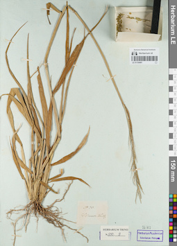
LE 01154491
Groups of specimens: Гербарий Карла Бернхарда Триниуса; Соглашение Минобрнауки №075-15-2021-1056Record creation: 2021-12-02, Marina Yarichina, PhotoScan D2Citation: Specimen LE 01154491 // Virtual herbarium of Komarov Botanical Institute RAS — http://re.herbariumle.ru/01154491
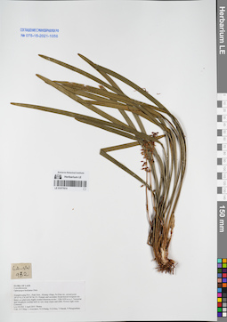
LE 01077614
Ophiopogon bockianus Diels det. Averyanov, Leonid Vladimirovich at 03.04.2015
Collectors: Tien Hiep Nguyen; Averyanov, Leonid Vladimirovich; Khang Sinh Nguyen; et al. Field collecting number: LA-VN932. Collection date: 03.04.2015. Administrative regions: LA - Xiangkhouang. Groups of specimens: L. V. Averyanov specimens; L. V. Averyanov herbarium; Соглашение Минобрнауки №075-15-2021-1056Original label text:FLORA OF LAOS
Convallariaceae
Ophiopogon bockianus Diels
Xiangkhouang Prov., Peak Distr., Khoang village, Pa Khao mt., around point 19°33′02.2′N 103°39′56.3′E.
Primary and secondary broad-leaved evergreen dry forest on solid rocky highly eroded limestone at elev. 1200-1450 m a.s.l.
Terrestrial and lithophytic rosulate herb on very steep slopes and cliffs. Flowers light violet. Common.
LA-VN 932 3 April 2015 Photos
Coll.: N.T.Hiep, L.Averyanov, N.S.Khang, N.Q.Hieu, T.Maisak, Pheng Phengsintham.
Coordinates (geographic position): 19° 33′ 2.2″ N, 103° 39′ 56.3″ E ±1000 mRecord creation: 2021-12-02, Tatiana Maisak, PhotoScan D2Citation: Specimen LE 01077614 // Virtual herbarium of Komarov Botanical Institute RAS — http://re.herbariumle.ru/01077614Convallariaceae
Ophiopogon bockianus Diels
Xiangkhouang Prov., Peak Distr., Khoang village, Pa Khao mt., around point 19°33′02.2′N 103°39′56.3′E.
Primary and secondary broad-leaved evergreen dry forest on solid rocky highly eroded limestone at elev. 1200-1450 m a.s.l.
Terrestrial and lithophytic rosulate herb on very steep slopes and cliffs. Flowers light violet. Common.
LA-VN 932 3 April 2015 Photos
Coll.: N.T.Hiep, L.Averyanov, N.S.Khang, N.Q.Hieu, T.Maisak, Pheng Phengsintham.
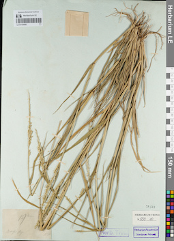
LE 01154490
Groups of specimens: Гербарий Карла Бернхарда Триниуса; Соглашение Минобрнауки №075-15-2021-1056Record creation: 2021-12-02, Marina Yarichina, PhotoScan D2Citation: Specimen LE 01154490 // Virtual herbarium of Komarov Botanical Institute RAS — http://re.herbariumle.ru/01154490
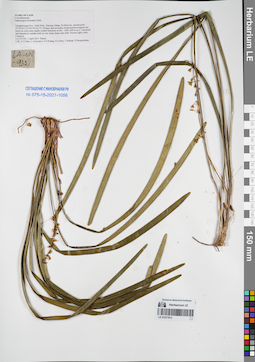
LE 01077613
Ophiopogon bockianus Diels det. Averyanov, Leonid Vladimirovich at 03.04.2015
Collectors: Tien Hiep Nguyen; Averyanov, Leonid Vladimirovich; Khang Sinh Nguyen; et al. Field collecting number: LA-VN932. Collection date: 03.04.2015. Administrative regions: LA - Xiangkhouang. Groups of specimens: L. V. Averyanov specimens; L. V. Averyanov herbarium; Соглашение Минобрнауки №075-15-2021-1056Original label text:FLORA OF LAOS
Convallariaceae
Ophiopogon bockianus Diels
Xiangkhouang Prov., Peak Distr., Khoang village, Pa Khao mt., around point 19°33′02.2′N 103°39′56.3′E.
Primary and secondary broad-leaved evergreen dry forest on solid rocky highly eroded limestone at elev. 1200-1450 m a.s.l.
Terrestrial and lithophytic rosulate herb on very steep slopes and cliffs. Flowers light violet. Common.
LA-VN 932 3 April 2015 Photos
Coll.: N.T.Hiep, L.Averyanov, N.S.Khang, N.Q.Hieu, T.Maisak, Pheng Phengsintham.
Coordinates (geographic position): 19° 33′ 2.2″ N, 103° 39′ 56.3″ E ±1000 mRecord creation: 2021-12-02, Tatiana Maisak, PhotoScan D2Citation: Specimen LE 01077613 // Virtual herbarium of Komarov Botanical Institute RAS — http://re.herbariumle.ru/01077613Convallariaceae
Ophiopogon bockianus Diels
Xiangkhouang Prov., Peak Distr., Khoang village, Pa Khao mt., around point 19°33′02.2′N 103°39′56.3′E.
Primary and secondary broad-leaved evergreen dry forest on solid rocky highly eroded limestone at elev. 1200-1450 m a.s.l.
Terrestrial and lithophytic rosulate herb on very steep slopes and cliffs. Flowers light violet. Common.
LA-VN 932 3 April 2015 Photos
Coll.: N.T.Hiep, L.Averyanov, N.S.Khang, N.Q.Hieu, T.Maisak, Pheng Phengsintham.
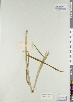
LE 01154489
Groups of specimens: Гербарий Карла Бернхарда Триниуса; Соглашение Минобрнауки №075-15-2021-1056Record creation: 2021-12-02, Marina Yarichina, PhotoScan D2Citation: Specimen LE 01154489 // Virtual herbarium of Komarov Botanical Institute RAS — http://re.herbariumle.ru/01154489
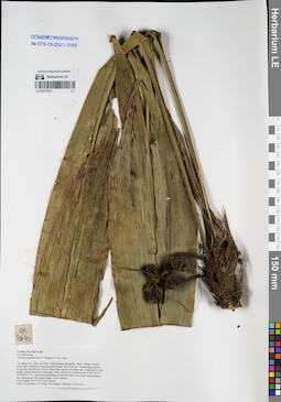
LE 01077612
Tupistra fungilliformis F.T.Wang & S.Yun Liang det. Averyanov, Leonid Vladimirovich at 24.11.2014
Collectors: Averyanov, Leonid Vladimirovich; Tien Hiep Nguyen; Khang Sinh Nguyen; et al. Field collecting number: CPC7640. Collection date: 24.11.2014. Administrative regions: VN - Tinh Cao Bang. Groups of specimens: L. V. Averyanov specimens; L. V. Averyanov herbarium; Соглашение Минобрнауки №075-15-2021-1056Original label text:FLORA OF VIETNAM
Convallariaceae
Tupistra fungilliformis F.T.Wang & S.Yun Liang
Cao Bang Prov., Bao Lac Distr., Dinh Phung municipality, Ban O village.
Primary mixed and coniferous evergreen humid forest with (Pinus sp., Pseudotsuga sinensis, Podocarpus neriifolius) on very steep slopes and on mountain tops composed by solid highly eroded limestone at elevation 1200-1300 m a.s.l. around point 22°45′24.8″N 105°46′47.9″E.
Terrestrial and lithophytic herb on steep rocky slope near mountain top. Fruits green with purple marks. Very common.
24 November 2014 CPC 7640 photos
Coll.: L.Averyanov, N.T.Hiep, N.S.Khang, T.Maisak, L.Osinovetz
Coordinates (geographic position): 22° 45′ 24.8″ N, 105° 46′ 47.9″ E ±1000 mRecord creation: 2021-12-02, Tatiana Maisak, PhotoScan D2Citation: Specimen LE 01077612 // Virtual herbarium of Komarov Botanical Institute RAS — http://re.herbariumle.ru/01077612Convallariaceae
Tupistra fungilliformis F.T.Wang & S.Yun Liang
Cao Bang Prov., Bao Lac Distr., Dinh Phung municipality, Ban O village.
Primary mixed and coniferous evergreen humid forest with (Pinus sp., Pseudotsuga sinensis, Podocarpus neriifolius) on very steep slopes and on mountain tops composed by solid highly eroded limestone at elevation 1200-1300 m a.s.l. around point 22°45′24.8″N 105°46′47.9″E.
Terrestrial and lithophytic herb on steep rocky slope near mountain top. Fruits green with purple marks. Very common.
24 November 2014 CPC 7640 photos
Coll.: L.Averyanov, N.T.Hiep, N.S.Khang, T.Maisak, L.Osinovetz
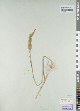
LE 01154488
Groups of specimens: Гербарий Карла Бернхарда Триниуса; Соглашение Минобрнауки №075-15-2021-1056Record creation: 2021-12-02, Marina Yarichina, PhotoScan D2Citation: Specimen LE 01154488 // Virtual herbarium of Komarov Botanical Institute RAS — http://re.herbariumle.ru/01154488
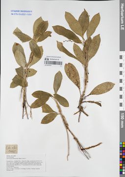
LE 01077611
Ophiopogon dracaenoides (Baker) Hook.f. ⟮prelim. ID⟯ det. Averyanov, Leonid Vladimirovich at 07.04.2015
Collectors: Tien Hiep Nguyen; Averyanov, Leonid Vladimirovich; Khang Sinh Nguyen; et al. Field collecting number: LA-VN1115. Collection date: 07.04.2015. Administrative regions: LA - Houaphan. Groups of specimens: L. V. Averyanov specimens; L. V. Averyanov herbarium; Соглашение Минобрнауки №075-15-2021-1056Original label text:FLORA OF LAOS
Convallariaceae
Ophiopogon dracaenoides (Baker) Hook.f.?
Houphan Prov., Viengxay Distr., Vieng Xai village, around point 20°23′41.3′'N 104°13′44.5′'E.
Primary and secondary broad-leaved evergreen dry forest on very steep rocky slopes of highly eroded mountains composed by solid marble-like limestone at elev. 800-950 m a.s.l.
Terrestrial herb 20-40 cm tall in shady place. Locally common.
LA-VN 1115 7 April 2015
Coll.: N.T.Hiep, L.Averyanov, N.S.Khang, N.Q.Hieu, T.Maisak, Somneuk Bouthamounty.
Coordinates (geographic position): 20° 23′ 41.3″ N, 104° 13′ 44.5″ E ±1000 mRecord creation: 2021-12-02, Tatiana Maisak, PhotoScan D2Citation: Specimen LE 01077611 // Virtual herbarium of Komarov Botanical Institute RAS — http://re.herbariumle.ru/01077611Convallariaceae
Ophiopogon dracaenoides (Baker) Hook.f.?
Houphan Prov., Viengxay Distr., Vieng Xai village, around point 20°23′41.3′'N 104°13′44.5′'E.
Primary and secondary broad-leaved evergreen dry forest on very steep rocky slopes of highly eroded mountains composed by solid marble-like limestone at elev. 800-950 m a.s.l.
Terrestrial herb 20-40 cm tall in shady place. Locally common.
LA-VN 1115 7 April 2015
Coll.: N.T.Hiep, L.Averyanov, N.S.Khang, N.Q.Hieu, T.Maisak, Somneuk Bouthamounty.
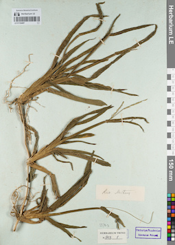
LE 01154487
Groups of specimens: Гербарий Карла Бернхарда Триниуса; Соглашение Минобрнауки №075-15-2021-1056Record creation: 2021-12-02, Marina Yarichina, PhotoScan D2Citation: Specimen LE 01154487 // Virtual herbarium of Komarov Botanical Institute RAS — http://re.herbariumle.ru/01154487
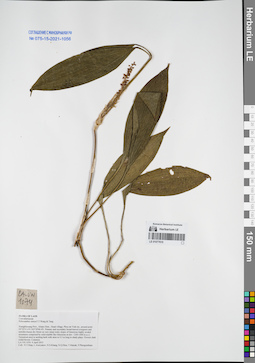
LE 01077610
Peliosanthes sinica F.T.Wang & Tang det. Averyanov, Leonid Vladimirovich at 04.04.2015
Collectors: Tien Hiep Nguyen; Averyanov, Leonid Vladimirovich; Khang Sinh Nguyen; et al. Field collecting number: LA-VN1074. Collection date: 04.04.2015. Administrative regions: LA - Xiangkhouang. Groups of specimens: L. V. Averyanov specimens; L. V. Averyanov herbarium; Соглашение Минобрнауки №075-15-2021-1056Original label text:FLORA OF LAOS
Convallariaceae
Peliosanthes sinica F.T.Wang & Tang
Xiangkhouang Prov., Kham Distr., Huad village, Phou tat Vinh mt., around point 19°32′31.6′N 103°39′40.4′E.
Primary and secondary broad-leaved evergreen and semideciduous dry forest on very steep rocky slopes of limestone highly eroded mountains composed by solid marble like limestone at elev. 1200-1400 m a.s.l.
Terrestrial erect to arching herb with stem to 0.5 m long in shady place. Flowers dark violet-brown. Common.
LA-VN 1074 4 April 2015
Coll.: N.T.Hiep, L.Averyanov, N.S.Khang, N.Q.Hieu, T.Maisak, Pheng Phengsintham.
Coordinates (geographic position): 19° 32′ 31.6″ N, 103° 39′ 40.4″ E ±1000 mRecord creation: 2021-12-02, Tatiana Maisak, PhotoScan D2Citation: Specimen LE 01077610 // Virtual herbarium of Komarov Botanical Institute RAS — http://re.herbariumle.ru/01077610Convallariaceae
Peliosanthes sinica F.T.Wang & Tang
Xiangkhouang Prov., Kham Distr., Huad village, Phou tat Vinh mt., around point 19°32′31.6′N 103°39′40.4′E.
Primary and secondary broad-leaved evergreen and semideciduous dry forest on very steep rocky slopes of limestone highly eroded mountains composed by solid marble like limestone at elev. 1200-1400 m a.s.l.
Terrestrial erect to arching herb with stem to 0.5 m long in shady place. Flowers dark violet-brown. Common.
LA-VN 1074 4 April 2015
Coll.: N.T.Hiep, L.Averyanov, N.S.Khang, N.Q.Hieu, T.Maisak, Pheng Phengsintham.
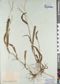
LE 01154486
Groups of specimens: Гербарий Карла Бернхарда Триниуса; Соглашение Минобрнауки №075-15-2021-1056Record creation: 2021-12-02, Marina Yarichina, PhotoScan D2Citation: Specimen LE 01154486 // Virtual herbarium of Komarov Botanical Institute RAS — http://re.herbariumle.ru/01154486
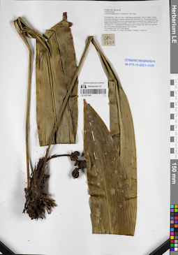
LE 01077609
Tupistra fungilliformis F.T.Wang & S.Yun Liang det. Averyanov, Leonid Vladimirovich at 24.11.2014
Collectors: Averyanov, Leonid Vladimirovich; Tien Hiep Nguyen; Khang Sinh Nguyen; et al. Field collecting number: CPC7640. Collection date: 24.11.2014. Administrative regions: VN - Tinh Cao Bang. Groups of specimens: L. V. Averyanov specimens; L. V. Averyanov herbarium; Соглашение Минобрнауки №075-15-2021-1056Original label text:FLORA OF VIETNAM
Convallariaceae
Tupistra fungilliformis F.T.Wang & S.Yun Liang
Cao Bang Prov., Bao Lac Distr., Dinh Phung municipality, Ban O village.
Primary mixed and coniferous evergreen humid forest with (Pinus sp., Pseudotsuga sinensis, Podocarpus neriifolius) on very steep slopes and on mountain tops composed by solid highly eroded limestone at elevation 1200-1300 m a.s.l. around point 22°45′24.8″N 105°46′47.9″E.
Terrestrial and lithophytic herb on steep rocky slope near mountain top. Fruits green with purple marks. Very common.
24 November 2014 CPC 7640 photos
Coll.: L.Averyanov, N.T.Hiep, N.S.Khang, T.Maisak, L.Osinovetz
Coordinates (geographic position): 22° 45′ 24.8″ N, 105° 46′ 47.9″ E ±1000 mRecord creation: 2021-12-02, Tatiana Maisak, PhotoScan D2Citation: Specimen LE 01077609 // Virtual herbarium of Komarov Botanical Institute RAS — http://re.herbariumle.ru/01077609Convallariaceae
Tupistra fungilliformis F.T.Wang & S.Yun Liang
Cao Bang Prov., Bao Lac Distr., Dinh Phung municipality, Ban O village.
Primary mixed and coniferous evergreen humid forest with (Pinus sp., Pseudotsuga sinensis, Podocarpus neriifolius) on very steep slopes and on mountain tops composed by solid highly eroded limestone at elevation 1200-1300 m a.s.l. around point 22°45′24.8″N 105°46′47.9″E.
Terrestrial and lithophytic herb on steep rocky slope near mountain top. Fruits green with purple marks. Very common.
24 November 2014 CPC 7640 photos
Coll.: L.Averyanov, N.T.Hiep, N.S.Khang, T.Maisak, L.Osinovetz
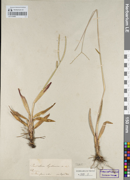
LE 01154485
Groups of specimens: Гербарий Карла Бернхарда Триниуса; Соглашение Минобрнауки №075-15-2021-1056Record creation: 2021-12-02, Marina Yarichina, PhotoScan D2Citation: Specimen LE 01154485 // Virtual herbarium of Komarov Botanical Institute RAS — http://re.herbariumle.ru/01154485
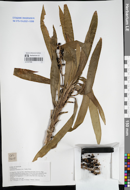
LE 01077608
Ophiopogon fruticulosus Aver., N.Tanaka & K.S.Nguyen det. Averyanov, Leonid Vladimirovich at 24.11.2014
Collectors: Averyanov, Leonid Vladimirovich; Tien Hiep Nguyen; Khang Sinh Nguyen; et al. Field collecting number: CPC7605. Collection date: 24.11.2014. Administrative regions: VN - Tinh Cao Bang. Groups of specimens: L. V. Averyanov specimens; L. V. Averyanov herbarium; Соглашение Минобрнауки №075-15-2021-1056Original label text:FLORA OF VIETNAM
Convallariaceae
Ophiopogon fruticulosus Aver., Tanaka, Khang
Cao Bang Prov., Bao Lac Distr., Dinh Phung municipality, Ban Meo village.
Secondary broad-leaved evergreen forest on steep stream slope composed by shale stratified limestone at elevation 800-900 m a.s.l. around point 22°44′32.0″N 105°46′29.1″E.
Undershrub 1-1.5 m tall in steep shady rocky stream slope. Not common.
24 November 2014 CPC 7605
Coll.: L.Averyanov, N.T.Hiep, N.S.Khang, T.Maisak, L.Osinovetz
Coordinates (geographic position): 22° 44′ 32″ N, 105° 46′ 29.1″ E ±1000 mRecord creation: 2021-12-02, Tatiana Maisak, PhotoScan D2Citation: Specimen LE 01077608 // Virtual herbarium of Komarov Botanical Institute RAS — http://re.herbariumle.ru/01077608Convallariaceae
Ophiopogon fruticulosus Aver., Tanaka, Khang
Cao Bang Prov., Bao Lac Distr., Dinh Phung municipality, Ban Meo village.
Secondary broad-leaved evergreen forest on steep stream slope composed by shale stratified limestone at elevation 800-900 m a.s.l. around point 22°44′32.0″N 105°46′29.1″E.
Undershrub 1-1.5 m tall in steep shady rocky stream slope. Not common.
24 November 2014 CPC 7605
Coll.: L.Averyanov, N.T.Hiep, N.S.Khang, T.Maisak, L.Osinovetz
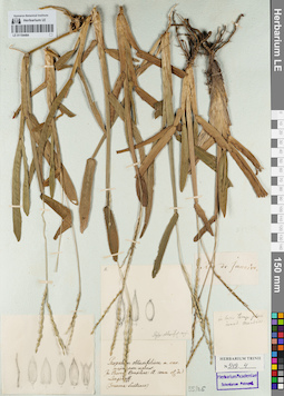
LE 01154484
Groups of specimens: Гербарий Карла Бернхарда Триниуса; Соглашение Минобрнауки №075-15-2021-1056Record creation: 2021-12-02, Marina Yarichina, PhotoScan D2Citation: Specimen LE 01154484 // Virtual herbarium of Komarov Botanical Institute RAS — http://re.herbariumle.ru/01154484
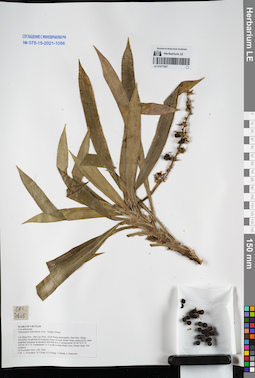
LE 01077607
Ophiopogon fruticulosus Aver., N.Tanaka & K.S.Nguyen det. Averyanov, Leonid Vladimirovich at 24.11.2014
Collectors: Averyanov, Leonid Vladimirovich; Tien Hiep Nguyen; Khang Sinh Nguyen; et al. Field collecting number: CPC7605. Collection date: 24.11.2014. Administrative regions: VN - Tinh Cao Bang. Groups of specimens: L. V. Averyanov specimens; L. V. Averyanov herbarium; Соглашение Минобрнауки №075-15-2021-1056Original label text:FLORA OF VIETNAM
Convallariaceae
Ophiopogon fruticulosus Aver., Tanaka, Khang
Cao Bang Prov., Bao Lac Distr., Dinh Phung municipality, Ban Meo village.
Secondary broad-leaved evergreen forest on steep stream slope composed by shale stratified limestone at elevation 800-900 m a.s.l. around point 22°44′32.0″N 105°46′29.1″E.
Undershrub 1-1.5 m tall in steep shady rocky stream slope. Not common.
24 November 2014 CPC 7605
Coll.: L.Averyanov, N.T.Hiep, N.S.Khang, T.Maisak, L.Osinovetz
Coordinates (geographic position): 22° 44′ 32″ N, 105° 46′ 29.1″ E ±1000 mRecord creation: 2021-12-02, Tatiana Maisak, PhotoScan D2Citation: Specimen LE 01077607 // Virtual herbarium of Komarov Botanical Institute RAS — http://re.herbariumle.ru/01077607Convallariaceae
Ophiopogon fruticulosus Aver., Tanaka, Khang
Cao Bang Prov., Bao Lac Distr., Dinh Phung municipality, Ban Meo village.
Secondary broad-leaved evergreen forest on steep stream slope composed by shale stratified limestone at elevation 800-900 m a.s.l. around point 22°44′32.0″N 105°46′29.1″E.
Undershrub 1-1.5 m tall in steep shady rocky stream slope. Not common.
24 November 2014 CPC 7605
Coll.: L.Averyanov, N.T.Hiep, N.S.Khang, T.Maisak, L.Osinovetz
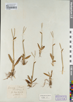
LE 01154483
Groups of specimens: Гербарий Карла Бернхарда Триниуса; Соглашение Минобрнауки №075-15-2021-1056Record creation: 2021-12-02, Marina Yarichina, PhotoScan D2Citation: Specimen LE 01154483 // Virtual herbarium of Komarov Botanical Institute RAS — http://re.herbariumle.ru/01154483
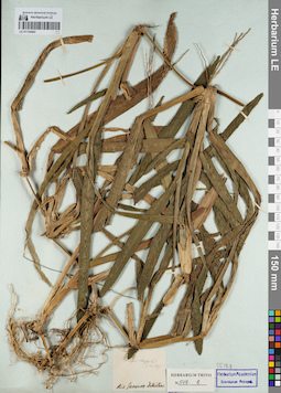
LE 01154482
Groups of specimens: Гербарий Карла Бернхарда Триниуса; Соглашение Минобрнауки №075-15-2021-1056Record creation: 2021-12-02, Marina Yarichina, PhotoScan D2Citation: Specimen LE 01154482 // Virtual herbarium of Komarov Botanical Institute RAS — http://re.herbariumle.ru/01154482
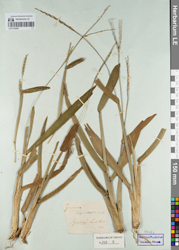
LE 01154481
Groups of specimens: Гербарий Карла Бернхарда Триниуса; Соглашение Минобрнауки №075-15-2021-1056Record creation: 2021-12-02, Marina Yarichina, PhotoScan D2Citation: Specimen LE 01154481 // Virtual herbarium of Komarov Botanical Institute RAS — http://re.herbariumle.ru/01154481
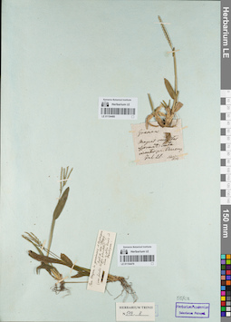
LE 01154480
Groups of specimens: Гербарий Карла Бернхарда Триниуса; Соглашение Минобрнауки №075-15-2021-1056Record creation: 2021-12-02, Marina Yarichina, PhotoScan D2Citation: Specimen LE 01154480 // Virtual herbarium of Komarov Botanical Institute RAS — http://re.herbariumle.ru/01154480
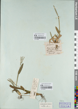
LE 01154479
Groups of specimens: Гербарий Карла Бернхарда Триниуса; Соглашение Минобрнауки №075-15-2021-1056Record creation: 2021-12-02, Marina Yarichina, PhotoScan D2Citation: Specimen LE 01154479 // Virtual herbarium of Komarov Botanical Institute RAS — http://re.herbariumle.ru/01154479
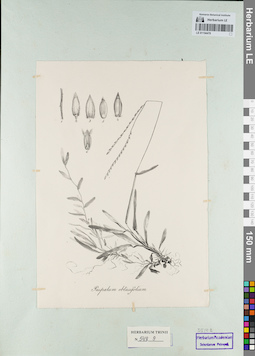
LE 01154478
Groups of specimens: Гербарий Карла Бернхарда Триниуса; Соглашение Минобрнауки №075-15-2021-1056Record creation: 2021-12-02, Marina Yarichina, PhotoScan D2Citation: Specimen LE 01154478 // Virtual herbarium of Komarov Botanical Institute RAS — http://re.herbariumle.ru/01154478
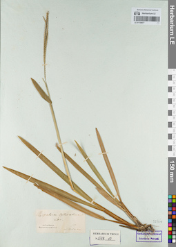
LE 01154477
Groups of specimens: Гербарий Карла Бернхарда Триниуса; Соглашение Минобрнауки №075-15-2021-1056Record creation: 2021-12-02, Marina Yarichina, PhotoScan D2Citation: Specimen LE 01154477 // Virtual herbarium of Komarov Botanical Institute RAS — http://re.herbariumle.ru/01154477
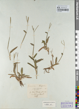
LE 01154476
Groups of specimens: Гербарий Карла Бернхарда Триниуса; Соглашение Минобрнауки №075-15-2021-1056Record creation: 2021-12-02, Marina Yarichina, PhotoScan D2Citation: Specimen LE 01154476 // Virtual herbarium of Komarov Botanical Institute RAS — http://re.herbariumle.ru/01154476
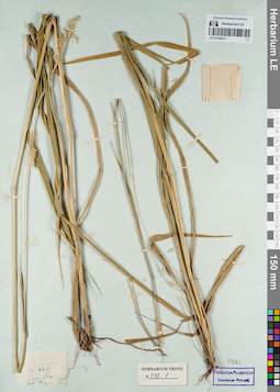
LE 01154475
Groups of specimens: Гербарий Карла Бернхарда Триниуса; Соглашение Минобрнауки №075-15-2021-1056Record creation: 2021-12-02, Marina Yarichina, PhotoScan D2Citation: Specimen LE 01154475 // Virtual herbarium of Komarov Botanical Institute RAS — http://re.herbariumle.ru/01154475
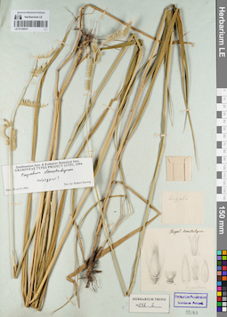
LE 01154474
Groups of specimens: Гербарий Карла Бернхарда Триниуса; Соглашение Минобрнауки №075-15-2021-1056Record creation: 2021-12-02, Marina Yarichina, PhotoScan D2Citation: Specimen LE 01154474 // Virtual herbarium of Komarov Botanical Institute RAS — http://re.herbariumle.ru/01154474
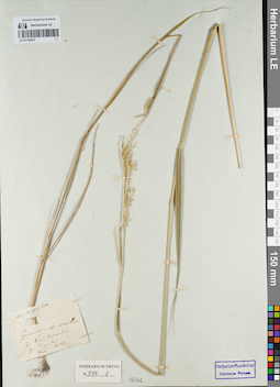
LE 01154473
Groups of specimens: Гербарий Карла Бернхарда Триниуса; Соглашение Минобрнауки №075-15-2021-1056Record creation: 2021-12-02, Marina Yarichina, PhotoScan D2Citation: Specimen LE 01154473 // Virtual herbarium of Komarov Botanical Institute RAS — http://re.herbariumle.ru/01154473
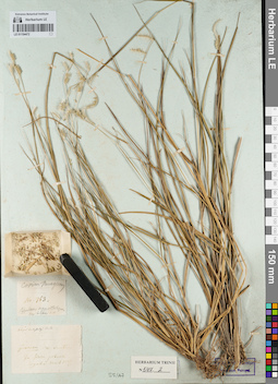
LE 01154472
Groups of specimens: Гербарий Карла Бернхарда Триниуса; Соглашение Минобрнауки №075-15-2021-1056Record creation: 2021-12-02, Marina Yarichina, PhotoScan D2Citation: Specimen LE 01154472 // Virtual herbarium of Komarov Botanical Institute RAS — http://re.herbariumle.ru/01154472
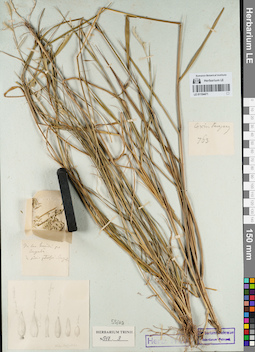
LE 01154471
Groups of specimens: Гербарий Карла Бернхарда Триниуса; Соглашение Минобрнауки №075-15-2021-1056Record creation: 2021-12-02, Marina Yarichina, PhotoScan D2Citation: Specimen LE 01154471 // Virtual herbarium of Komarov Botanical Institute RAS — http://re.herbariumle.ru/01154471
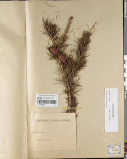
LE 01148031
Groups of specimens: Образцы сектора Восточной Европы; Соглашение Минобрнауки №075-15-2021-1056Record creation: 2021-12-02, Larisa Orlova, PhotoScan D2Citation: Specimen LE 01148031 // Virtual herbarium of Komarov Botanical Institute RAS — http://re.herbariumle.ru/01148031
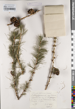
LE 01147974
Groups of specimens: Образцы сектора Восточной Европы; Соглашение Минобрнауки №075-15-2021-1056Record creation: 2021-12-02, Larisa Orlova, PhotoScan D2Citation: Specimen LE 01147974 // Virtual herbarium of Komarov Botanical Institute RAS — http://re.herbariumle.ru/01147974
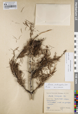
LE 01067534
Larix archangelica Laws. det. Orlova, Larisa Vladimirovna at 10.11.2021
Additional identifications: Larix sukaczewii Dylis det. Igoschina, Kapitolina Nikolaevna at 1954; Larix archangelica Laws. det. Orlova, Larisa Vladimirovna at 18.05.2021 Collectors: Igoschina, Kapitolina Nikolaevna Field collecting number: s.n.. Collection date: 26.07.1954. Administrative regions: RU - Sverdlovskaya Oblast'. Subregion: Свердловская область, городской округ Верхняя Пышма. Place of collection: Свердловская область, городской округ Верхняя Пышма, ж.д. ст. Исеть севернее Свердловска.Expedition: Уральская комплексная экспедиция АН СССР (1939 -1958)Groups of specimens: Образцы сектора Восточной Европы; Соглашение Минобрнауки №075-15-2021-1056Original label text:Larix sukaczewii Dyl. Средний Урал. ж.д. ст. Исеть севернее Свердловска. В сосновых лесах на гранитах, нередко. 26.VII.1954. s.n., К.Н. Игошина [Уральская комплексная экспедиция АН СССР]
Coordinates (geographic position): 56° 58′ 44.94″ N, 60° 22′ 23.33″ E ±3000 mRecord creation: 2021-12-02, Larisa Orlova, PhotoScan D2Citation: Specimen LE 01067534 // Virtual herbarium of Komarov Botanical Institute RAS — http://re.herbariumle.ru/01067534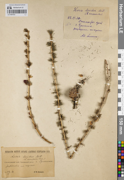
LE 01067533
Larix decidua Mill. det. Orlova, Larisa Vladimirovna at 29.11.2023
Additional identifications: Larix decidua Mill. det. Alyushin, A. I. at 1930 Collectors: Alyushin, A. I. Field collecting number: s.n.. Collection date: 22.04.1930. Administrative regions: RU - Volgogradskaya Oblast'. Subregion: Волгоградская обл., г. Урюпинск, разводится, по паркам. Place of collection: Волгоградская обл., г. Урюпинск,.Groups of specimens: Образцы сектора Восточной Европы; Соглашение Минобрнауки №075-15-2021-1056Original label text:Larix decidua Mill. Сталинградский край, г. Урюпинск, разводится, по паркам, 22.IV.1930, s.n., А.И. Алюшин
Coordinates (geographic position): 50° 47′ 40.24″ N, 41° 59′ 44.13″ E ±2000 mRecord creation: 2021-12-02, Larisa Orlova, PhotoScan D2Citation: Specimen LE 01067533 // Virtual herbarium of Komarov Botanical Institute RAS — http://re.herbariumle.ru/01067533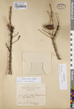
LE 01067532
Larix decidua Mill. det. Orlova, Larisa Vladimirovna at 10.11.2021
Additional identifications: Larix sibirica Ledeb. det. Orlova, Larisa Vladimirovna at 18.05.2021 Collectors: Sprygin, Ivan Ivanovich Field collecting number: 60210. Collection date: 13.06.1013. Administrative regions: UA - Chernihivs'ka Oblast'. Subregion: Черниговская область. Groups of specimens: Образцы сектора Восточной Европы; Соглашение Минобрнауки №075-15-2021-1056; Спрыгин И.И. Гербарий Черниговской губернии. Борзенский уездOriginal label text:13.VI.1913. Лес Харитоненко у Туркеновки. N 60210. Собрал И.И. Спрыгин [Спрыгин И.И. Гербарий Черниговской губернии. Борзенский уезд]
Record creation: 2021-12-02, Larisa Orlova, PhotoScan D2Citation: Specimen LE 01067532 // Virtual herbarium of Komarov Botanical Institute RAS — http://re.herbariumle.ru/01067532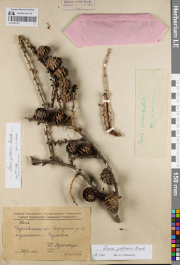
LE 01067531
Larix polonica Racib. det. Orlova, Larisa Vladimirovna at 10.11.2021
Additional identifications: Larix decidua Mill. det. Artemchuk, Ivan Vlasovich at 1955 Collectors: Artemchuk, Ivan Vlasovich Field collecting number: s.n.. Collection date: 20.09.1955. Administrative regions: UA - Chernivets'ka Oblast'. Subregion: Украина, Черновицкая область, Черновицкий район, окрестности с. Чорновка. Place of collection: Украина, Черновицкая область, Черновицкий район.Groups of specimens: Образцы сектора Восточной Европы; Соглашение Минобрнауки №075-15-2021-1056; Гербарий Черновицкого Государственного УниверситетаOriginal label text:Larix/ Черновицкая обл., Садгорский р-н, окрестности с. Чорновка, s.n., 20.IX.1955, Артемчук [Гербарий Черновицкого Государственного Университета]
Coordinates (geographic position): 48° 25′ 6.16″ N, 26° 0′ 36.23″ E ±2000 mRecord creation: 2021-12-02, Larisa Orlova, PhotoScan D2Citation: Specimen LE 01067531 // Virtual herbarium of Komarov Botanical Institute RAS — http://re.herbariumle.ru/01067531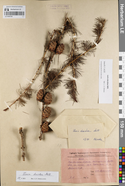
LE 01067530
Larix decidua Mill. det. Orlova, Larisa Vladimirovna at 18.05.2021
Additional identifications: Larix sp. det. Artemchuk, Ivan Vlasovich at 1947; Larix decidua Mill. det. Svyazeva Olga Alexandrovna Collectors: Artemchuk, Ivan Vlasovich Field collecting number: s.n.. Collection date: 08.06.1947. Administrative regions: UA - Chernivets'ka Oblast'. Subregion: Украина, Черновицкая область, Черновицкий район. Place of collection: Украина, Черновицкая область, Черновицкий район, Лес по шоссе из с. Черниговки в с. Добриновцы.Groups of specimens: Образцы сектора Восточной Европы; Соглашение Минобрнауки №075-15-2021-1056; Гербарий Черновицкого Государственного УниверситетаOriginal label text:Larix. Черновицкая область, Садогурский район. Лес по шоссе из с. Черниговки в с. Добриновцы. 8.VI.1947, s.n., И.В. Артемчук [Гербарий Черновицкого Государственного Университета]
Coordinates (geographic position): 48° 28′ 58.71″ N, 26° 1′ 9.41″ E ±5000 mRecord creation: 2021-12-02, Larisa Orlova, PhotoScan D2Citation: Specimen LE 01067530 // Virtual herbarium of Komarov Botanical Institute RAS — http://re.herbariumle.ru/01067530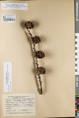
LE 01067529
Larix archangelica Laws. det. Orlova, Larisa Vladimirovna at 10.11.2021
Additional identifications: Larix sibirica Ledeb. det. Tzvelev, Nikolai Nikolaievich at 1980 Collectors: Tzvelev, Nikolai Nikolaievich Field collecting number: 723. Collection date: 01.07.1980. Administrative regions: RU - Voronezhskaya Oblast'. Place of collection: Воронежская область.Groups of specimens: Образцы сектора Восточной Европы; Соглашение Минобрнауки №075-15-2021-1056Original label text:Larix sibirica Ledeb. Воронежская обл., Хоперский заповедник, посадки в дубраве к СЗ от кордона Калиновский в 7-10 км к ССЗ от Новохоперска, 1.VII/1980, N 723, Н. Цвелев
Coordinates (geographic position): 51° 14′ 2.98″ N, 41° 43′ 45.69″ E ±2000 mRecord creation: 2021-12-02, Larisa Orlova, PhotoScan D2Citation: Specimen LE 01067529 // Virtual herbarium of Komarov Botanical Institute RAS — http://re.herbariumle.ru/01067529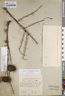
LE 01067528
Larix archangelica Laws. det. Orlova, Larisa Vladimirovna at 10.11.2021
Additional identifications: Larix sibirica Ledeb. det. Nenukow, Fedor Stepanowitsch at 1913; Larix archangelica Laws. det. Orlova, Larisa Vladimirovna at 18.05.2021 Collectors: Nenukow, Fedor Stepanowitsch Field collecting number: s.n.. Collection date: 17.06.1913. Expedition: Flora provinciae Nijni-Nowgorod. Rossia Media ()Groups of specimens: Образцы сектора Восточной Европы; Соглашение Минобрнауки №075-15-2021-1056Original label text:Larix sibirica Ldb. Вековые деревья в 157 кв. Воздвиженского лесничества (за р. Ветлугой) Макарьевского уезда. 17.VI.1913, s.n., Leg. et det.Th. Nenukov [Flora provinciae Nijni-Nowgorod. Rossia Media]
Record creation: 2021-12-02, Larisa Orlova, PhotoScan D2Citation: Specimen LE 01067528 // Virtual herbarium of Komarov Botanical Institute RAS — http://re.herbariumle.ru/01067528