View
Add
Copy
Edit
Delete
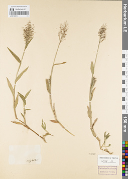
LE 01154514
Groups of specimens: Гербарий Карла Бернхарда Триниуса; Соглашение Минобрнауки №075-15-2021-1056Record creation: 2021-12-02, Marina Yarichina, PhotoScan D2Citation: Specimen LE 01154514 // Virtual herbarium of Komarov Botanical Institute RAS — http://re.herbariumle.ru/01154514
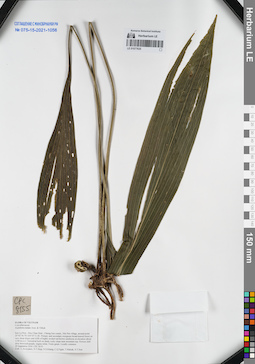
LE 01077635
Aspidistra nutans Aver. & Tillich det. Averyanov, Leonid Vladimirovich at 29.09.2016
Collectors: Averyanov, Leonid Vladimirovich; Tien Hiep Nguyen; Khang Sinh Nguyen; et al. Field collecting number: CPC8155. Collection date: 29.09.2016. Administrative regions: VN - Tinh Son La. Groups of specimens: L. V. Averyanov specimens; L. V. Averyanov herbarium; Соглашение Минобрнауки №075-15-2021-1056Original label text:FLORA OF VIETNAM
Convallariaceae
Aspidistra nutans Aver. & Tillich
Son La Prov., Moc Chau Distr., Chieng Son comm., Hin Pen village, around point 20°42′36.7N 104°35′11.0E.
Primary and secondary evergreen broad-leaved forest on very steep slopes and cliffs of highly eroded red-brown sandstone at elevation about 1200 m a.s.l. Terrestrial herb on shady rocky slope near mountain top. Flowers dull dirty brownish-purple, stigma white. Fruits green. Locally common.
29 September 2016 CPC 8155
Coll.: L.Averyanov, N.T.Hiep, N.S.Khang, C.Q.Ngan, T.V.Maisak, N.T.Son.
Coordinates (geographic position): 20° 42′ 36.7″ N, 104° 35′ 11″ E ±1000 mRecord creation: 2021-12-02, Tatiana Maisak, PhotoScan D2Citation: Specimen LE 01077635 // Virtual herbarium of Komarov Botanical Institute RAS — http://re.herbariumle.ru/01077635Convallariaceae
Aspidistra nutans Aver. & Tillich
Son La Prov., Moc Chau Distr., Chieng Son comm., Hin Pen village, around point 20°42′36.7N 104°35′11.0E.
Primary and secondary evergreen broad-leaved forest on very steep slopes and cliffs of highly eroded red-brown sandstone at elevation about 1200 m a.s.l. Terrestrial herb on shady rocky slope near mountain top. Flowers dull dirty brownish-purple, stigma white. Fruits green. Locally common.
29 September 2016 CPC 8155
Coll.: L.Averyanov, N.T.Hiep, N.S.Khang, C.Q.Ngan, T.V.Maisak, N.T.Son.
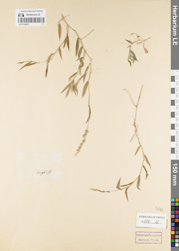
LE 01154513
Groups of specimens: Гербарий Карла Бернхарда Триниуса; Соглашение Минобрнауки №075-15-2021-1056Record creation: 2021-12-02, Marina Yarichina, PhotoScan D2Citation: Specimen LE 01154513 // Virtual herbarium of Komarov Botanical Institute RAS — http://re.herbariumle.ru/01154513
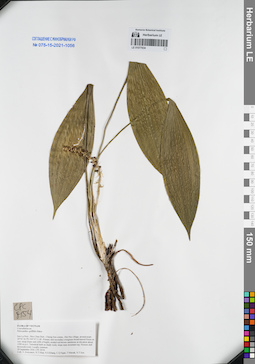
LE 01077634
Peliosanthes griffithii Baker det. Averyanov, Leonid Vladimirovich at 29.09.2016
Collectors: Averyanov, Leonid Vladimirovich; Tien Hiep Nguyen; Khang Sinh Nguyen; et al. Field collecting number: CPC8154. Collection date: 29.09.2016. Administrative regions: VN - Tinh Son La. Groups of specimens: L. V. Averyanov specimens; L. V. Averyanov herbarium; Соглашение Минобрнауки №075-15-2021-1056Original label text:FLORA OF VIETNAM
Convallariaceae
Peliosanthes griffithii Baker
Son La Prov., Moc Chau Distr., Chieng Son comm., Hin Pen village, around point 20°42′36.7N 104°35′11.0E.
Primary and secondary evergreen broad-leaved forest on very steep slopes and cliffs of highly eroded red-brown sandstone at elevation about 1200 m a.s.l. Terrestrial herb on shady rocky slope near mountain top. Flowers dull brownish-violet. Locally common.
29 September 2016 CPC 8154
Coll.: L.Averyanov, N.T.Hiep, N.S.Khang, C.Q.Ngan, T.V.Maisak, N.T.Son.
Coordinates (geographic position): 20° 42′ 36.7″ N, 104° 35′ 11″ E ±1000 mRecord creation: 2021-12-02, Tatiana Maisak, PhotoScan D2Citation: Specimen LE 01077634 // Virtual herbarium of Komarov Botanical Institute RAS — http://re.herbariumle.ru/01077634Convallariaceae
Peliosanthes griffithii Baker
Son La Prov., Moc Chau Distr., Chieng Son comm., Hin Pen village, around point 20°42′36.7N 104°35′11.0E.
Primary and secondary evergreen broad-leaved forest on very steep slopes and cliffs of highly eroded red-brown sandstone at elevation about 1200 m a.s.l. Terrestrial herb on shady rocky slope near mountain top. Flowers dull brownish-violet. Locally common.
29 September 2016 CPC 8154
Coll.: L.Averyanov, N.T.Hiep, N.S.Khang, C.Q.Ngan, T.V.Maisak, N.T.Son.
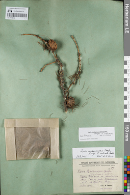
LE 01146138
Groups of specimens: Образцы сектора Сибири и Дальнего Востока России; Соглашение Минобрнауки №075-15-2021-1056Record creation: 2021-12-02, Larisa Orlova, PhotoScan D2Citation: Specimen LE 01146138 // Virtual herbarium of Komarov Botanical Institute RAS — http://re.herbariumle.ru/01146138
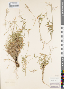
LE 01154512
Groups of specimens: Гербарий Карла Бернхарда Триниуса; Соглашение Минобрнауки №075-15-2021-1056Record creation: 2021-12-02, Marina Yarichina, PhotoScan D2Citation: Specimen LE 01154512 // Virtual herbarium of Komarov Botanical Institute RAS — http://re.herbariumle.ru/01154512
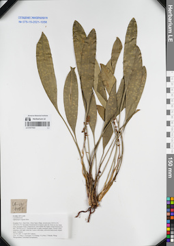
LE 01077633
Ophiopogon regnieri Bois det. Averyanov, Leonid Vladimirovich at 15.04.2015
Collectors: Tien Hiep Nguyen; Averyanov, Leonid Vladimirovich; Khang Sinh Nguyen; et al. Field collecting number: LA-VN1467. Collection date: 15.04.2015. Administrative regions: LA - Houaphan. Groups of specimens: L. V. Averyanov specimens; L. V. Averyanov herbarium; Соглашение Минобрнауки №075-15-2021-1056Original label text:FLORA OF LAOS
Convallariaceae
Ophiopogon regnieri Bois
Houphan Prov., Hem Distr., Khon Ngua village, around point 19°55′53.2′'N 103°16′24.2′'E.
Secondary broad-leaved evergreen open dry forest on very steep rocky mountain slopes composed by solid marble like highly eroded limestone at elev. 700-950 m a.s.l.
Terrestroal herb in shady mountain slopes. Flowers white, sometime with light violet tint. Leaves with many yellowish transversely elliptic spots. Common.
LA-VN 1467 15 April 2015 photos
Coll.: N.T.Hiep, L.Averyanov, N.S.Khang, N.Q.Hieu, T.Maisak, Pheng Phengsintham, Somchanh Bounphanmy.
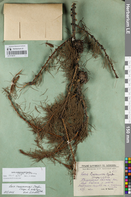
LE 01146137
Groups of specimens: Образцы сектора Сибири и Дальнего Востока России; Соглашение Минобрнауки №075-15-2021-1056Record creation: 2021-12-02, Larisa Orlova, PhotoScan D2Citation: Specimen LE 01146137 // Virtual herbarium of Komarov Botanical Institute RAS — http://re.herbariumle.ru/01146137
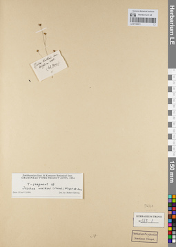
LE 01154511
Groups of specimens: Гербарий Карла Бернхарда Триниуса; Соглашение Минобрнауки №075-15-2021-1056Record creation: 2021-12-02, Marina Yarichina, PhotoScan D2Citation: Specimen LE 01154511 // Virtual herbarium of Komarov Botanical Institute RAS — http://re.herbariumle.ru/01154511
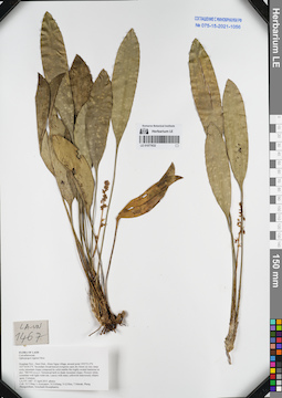
LE 01077632
Ophiopogon regnieri Bois det. Averyanov, Leonid Vladimirovich at 15.04.2015
Collectors: Tien Hiep Nguyen; Averyanov, Leonid Vladimirovich; Khang Sinh Nguyen; et al. Field collecting number: LA-VN1467. Collection date: 15.04.2015. Administrative regions: LA - Houaphan. Groups of specimens: L. V. Averyanov specimens; L. V. Averyanov herbarium; Соглашение Минобрнауки №075-15-2021-1056Original label text:FLORA OF LAOS
Convallariaceae
Ophiopogon regnieri Bois
Houphan Prov., Hem Distr., Khon Ngua village, around point 19°55′53.2′'N 103°16′24.2′'E.
Secondary broad-leaved evergreen open dry forest on very steep rocky mountain slopes composed by solid marble like highly eroded limestone at elev. 700-950 m a.s.l.
Terrestroal herb in shady mountain slopes. Flowers white, sometime with light violet tint. Leaves with many yellowish transversely elliptic spots. Common.
LA-VN 1467 15 April 2015 photos
Coll.: N.T.Hiep, L.Averyanov, N.S.Khang, N.Q.Hieu, T.Maisak, Pheng Phengsintham, Somchanh Bounphanmy.
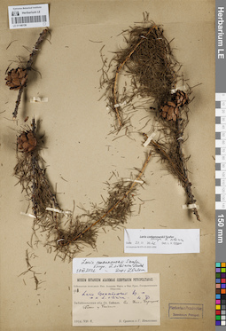
LE 01146136
Groups of specimens: Образцы сектора Сибири и Дальнего Востока России; Соглашение Минобрнауки №075-15-2021-1056Record creation: 2021-12-02, Larisa Orlova, PhotoScan D2Citation: Specimen LE 01146136 // Virtual herbarium of Komarov Botanical Institute RAS — http://re.herbariumle.ru/01146136
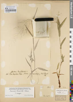
LE 01154510
Groups of specimens: Гербарий Карла Бернхарда Триниуса; Соглашение Минобрнауки №075-15-2021-1056Record creation: 2021-12-02, Marina Yarichina, PhotoScan D2Citation: Specimen LE 01154510 // Virtual herbarium of Komarov Botanical Institute RAS — http://re.herbariumle.ru/01154510
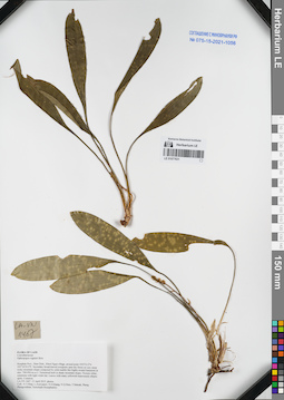
LE 01077631
Ophiopogon regnieri Bois det. Averyanov, Leonid Vladimirovich at 15.04.2015
Collectors: Tien Hiep Nguyen; Averyanov, Leonid Vladimirovich; Khang Sinh Nguyen; et al. Field collecting number: LA-VN1467. Collection date: 15.04.2015. Administrative regions: LA - Houaphan. Groups of specimens: L. V. Averyanov specimens; L. V. Averyanov herbarium; Соглашение Минобрнауки №075-15-2021-1056Original label text:FLORA OF LAOS
Convallariaceae
Ophiopogon regnieri Bois
Houphan Prov., Hem Distr., Khon Ngua village, around point 19°55′53.2′'N 103°16′24.2′'E.
Secondary broad-leaved evergreen open dry forest on very steep rocky mountain slopes composed by solid marble like highly eroded limestone at elev. 700-950 m a.s.l.
Terrestroal herb in shady mountain slopes. Flowers white, sometime with light violet tint. Leaves with many yellowish transversely elliptic spots. Common.
LA-VN 1467 15 April 2015 photos
Coll.: N.T.Hiep, L.Averyanov, N.S.Khang, N.Q.Hieu, T.Maisak, Pheng Phengsintham, Somchanh Bounphanmy.
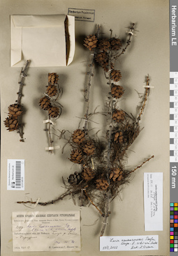
LE 01146135
Groups of specimens: Образцы сектора Сибири и Дальнего Востока России; Соглашение Минобрнауки №075-15-2021-1056Record creation: 2021-12-02, Larisa Orlova, PhotoScan D2Citation: Specimen LE 01146135 // Virtual herbarium of Komarov Botanical Institute RAS — http://re.herbariumle.ru/01146135
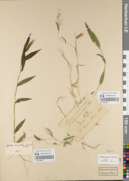
LE 01154509
Groups of specimens: Гербарий Карла Бернхарда Триниуса; Соглашение Минобрнауки №075-15-2021-1056Record creation: 2021-12-02, Marina Yarichina, PhotoScan D2Citation: Specimen LE 01154509 // Virtual herbarium of Komarov Botanical Institute RAS — http://re.herbariumle.ru/01154509
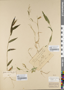
LE 01154508
Groups of specimens: Гербарий Карла Бернхарда Триниуса; Соглашение Минобрнауки №075-15-2021-1056Record creation: 2021-12-02, Marina Yarichina, PhotoScan D2Citation: Specimen LE 01154508 // Virtual herbarium of Komarov Botanical Institute RAS — http://re.herbariumle.ru/01154508
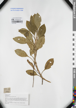
LE 01077630
Ophiopogon dracaenoides (Baker) Hook.f. det. Averyanov, Leonid Vladimirovich at 08.04.2015
Collectors: Tien Hiep Nguyen; Averyanov, Leonid Vladimirovich; Khang Sinh Nguyen; et al. Field collecting number: LA-VN1201. Collection date: 08.04.2015. Administrative regions: LA - Houaphan. Groups of specimens: L. V. Averyanov specimens; L. V. Averyanov herbarium; Соглашение Минобрнауки №075-15-2021-1056Original label text:FLORA OF LAOS
Convallariaceae
Ophiopogon dracaenoides (Baker) Hook.f.
Houphan Prov., Viengxay Distr., Xieng Luong village, around point 20°22′06.1′'N 104°17′18.6′'E.
Primary and secondary broad-leaved evergreen dry forest on very steep rocky slopes of highly eroded mountains composed by solid marble-like limestone at elev. 600-700 m a.s.l.
Terrestrial herb to 0.5 m tall on shady rocky slope. Not rare.
LA-VN 1201 8 April 2015
Coll.: N.T.Hiep, L.Averyanov, N.S.Khang, N.Q.Hieu, T.Maisak, Somneuk Bouthamounty.
Coordinates (geographic position): 20° 22′ 6.1″ N, 104° 17′ 18.6″ E ±1000 mRecord creation: 2021-12-02, Tatiana Maisak, PhotoScan D2Citation: Specimen LE 01077630 // Virtual herbarium of Komarov Botanical Institute RAS — http://re.herbariumle.ru/01077630Convallariaceae
Ophiopogon dracaenoides (Baker) Hook.f.
Houphan Prov., Viengxay Distr., Xieng Luong village, around point 20°22′06.1′'N 104°17′18.6′'E.
Primary and secondary broad-leaved evergreen dry forest on very steep rocky slopes of highly eroded mountains composed by solid marble-like limestone at elev. 600-700 m a.s.l.
Terrestrial herb to 0.5 m tall on shady rocky slope. Not rare.
LA-VN 1201 8 April 2015
Coll.: N.T.Hiep, L.Averyanov, N.S.Khang, N.Q.Hieu, T.Maisak, Somneuk Bouthamounty.
LE 01146134
Groups of specimens: Образцы сектора Сибири и Дальнего Востока России; Соглашение Минобрнауки №075-15-2021-1056Record creation: 2021-12-02, Larisa Orlova, PhotoScan D2Citation: Specimen LE 01146134 // Virtual herbarium of Komarov Botanical Institute RAS — http://re.herbariumle.ru/01146134
LE 01154507
Groups of specimens: Гербарий Карла Бернхарда Триниуса; Соглашение Минобрнауки №075-15-2021-1056Record creation: 2021-12-02, Marina Yarichina, PhotoScan D2Citation: Specimen LE 01154507 // Virtual herbarium of Komarov Botanical Institute RAS — http://re.herbariumle.ru/01154507
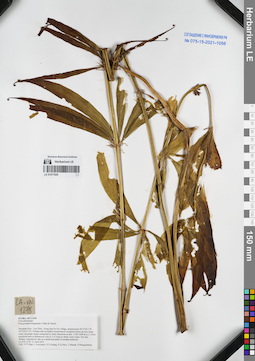
LE 01077629
Polygonatum kingianum Collett & Hemsl. det. Averyanov, Leonid Vladimirovich at 11.04.2015
Collectors: Tien Hiep Nguyen; Averyanov, Leonid Vladimirovich; Khang Sinh Nguyen; et al. Field collecting number: LA-VN1278. Collection date: 11.04.2015. Administrative regions: LA - Houaphan. Groups of specimens: L. V. Averyanov specimens; L. V. Averyanov herbarium; Соглашение Минобрнауки №075-15-2021-1056Original label text:FLORA OF LAOS
Convallariaceae
Polygonatum kingianum Collett & Hemsl.
Houphan Prov., Xon Distr., Nong Hua Pa Noi village, around point 20°13′02.1′'N 103°24′23.3′'E.
Primary and secondary broad-leaved evergreen forest on very steep rocky mountain slopes composed by shaly limestone at elev. 1100-1200 m a.s.l.
Erect terrestrial herb or herbaceous vine to 3 m long on shady rocky slope. Not rare. Widely collected for sale as a medicinal plant of oriental medicine.
LA-VN 1278 11 April 2015
Coll.: N.T.Hiep, L.Averyanov, N.S.Khang, N.Q.Hieu, T.Maisak, Pheng Phengsintham.
Coordinates (geographic position): 20° 13′ 2.1″ N, 103° 24′ 23.3″ E ±1000 mRecord creation: 2021-12-02, Tatiana Maisak, PhotoScan D2Citation: Specimen LE 01077629 // Virtual herbarium of Komarov Botanical Institute RAS — http://re.herbariumle.ru/01077629Convallariaceae
Polygonatum kingianum Collett & Hemsl.
Houphan Prov., Xon Distr., Nong Hua Pa Noi village, around point 20°13′02.1′'N 103°24′23.3′'E.
Primary and secondary broad-leaved evergreen forest on very steep rocky mountain slopes composed by shaly limestone at elev. 1100-1200 m a.s.l.
Erect terrestrial herb or herbaceous vine to 3 m long on shady rocky slope. Not rare. Widely collected for sale as a medicinal plant of oriental medicine.
LA-VN 1278 11 April 2015
Coll.: N.T.Hiep, L.Averyanov, N.S.Khang, N.Q.Hieu, T.Maisak, Pheng Phengsintham.
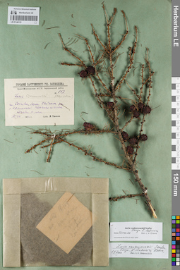
LE 01146133
Groups of specimens: Образцы сектора Сибири и Дальнего Востока России; Соглашение Минобрнауки №075-15-2021-1056Record creation: 2021-12-02, Larisa Orlova, PhotoScan D2Citation: Specimen LE 01146133 // Virtual herbarium of Komarov Botanical Institute RAS — http://re.herbariumle.ru/01146133
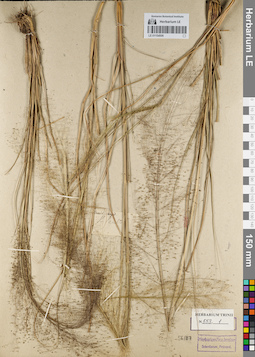
LE 01154506
Groups of specimens: Гербарий Карла Бернхарда Триниуса; Соглашение Минобрнауки №075-15-2021-1056Record creation: 2021-12-02, Marina Yarichina, PhotoScan D2Citation: Specimen LE 01154506 // Virtual herbarium of Komarov Botanical Institute RAS — http://re.herbariumle.ru/01154506
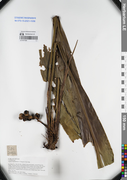
LE 01077628
Tupistra fungilliformis F.T.Wang & S.Yun Liang det. Averyanov, Leonid Vladimirovich at 14.11.2014
Collectors: Averyanov, Leonid Vladimirovich; Tien Hiep Nguyen; Khang Sinh Nguyen; et al. Field collecting number: CPC7464. Collection date: 14.11.2014. Administrative regions: VN - Tinh Ha Giang. Groups of specimens: L. V. Averyanov specimens; L. V. Averyanov herbarium; Соглашение Минобрнауки №075-15-2021-1056Original label text:FLORA OF VIETNAM
Convallariaceae
Tupistra fungilliformis F.T.Wang & S.Yun Liang var.?
Ha Giang Prov., Bac Me Distr., Phieng Luong municipality, around Phieng Day village.
Degraded primary broad-leaved humid evergreen forest along rocky canyon of small stream at the base of mountains composed with solid crystalline highly eroded limestone at elevation 900-1000 m a.s.l. around point 22°38′43.8″N 105°19′19.8″E.
Epiphytic herb on old mossy tree on steep stream slope. Fruits dark green. Very rare.
14 November 2014 CPC 7464 Photos
Coll.: L.Averyanov, N.T.Hiep, N.S.Khang, T.Maisak, L.Osinovetz
Fl. and coll. in 10 Jan. 2019, L. Averyanov, CPC 7464/1. Flowers purple, stigma, stamens and base of tube (inside) white. Photos. d-EXSICCATES OF VIETNAMESE FLORA 0334 / CPC 7464/1 © L. Averyanov
Record creation: 2021-12-02, Tatiana Maisak, PhotoScan D2Citation: Specimen LE 01077628 // Virtual herbarium of Komarov Botanical Institute RAS — http://re.herbariumle.ru/01077628Convallariaceae
Tupistra fungilliformis F.T.Wang & S.Yun Liang var.?
Ha Giang Prov., Bac Me Distr., Phieng Luong municipality, around Phieng Day village.
Degraded primary broad-leaved humid evergreen forest along rocky canyon of small stream at the base of mountains composed with solid crystalline highly eroded limestone at elevation 900-1000 m a.s.l. around point 22°38′43.8″N 105°19′19.8″E.
Epiphytic herb on old mossy tree on steep stream slope. Fruits dark green. Very rare.
14 November 2014 CPC 7464 Photos
Coll.: L.Averyanov, N.T.Hiep, N.S.Khang, T.Maisak, L.Osinovetz
Fl. and coll. in 10 Jan. 2019, L. Averyanov, CPC 7464/1. Flowers purple, stigma, stamens and base of tube (inside) white. Photos. d-EXSICCATES OF VIETNAMESE FLORA 0334 / CPC 7464/1 © L. Averyanov
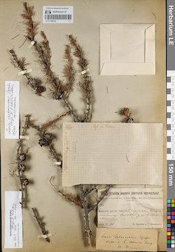
LE 01146132
Groups of specimens: Образцы сектора Сибири и Дальнего Востока России; Соглашение Минобрнауки №075-15-2021-1056Record creation: 2021-12-02, Larisa Orlova, PhotoScan D2Citation: Specimen LE 01146132 // Virtual herbarium of Komarov Botanical Institute RAS — http://re.herbariumle.ru/01146132
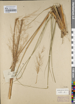
LE 01154505
Groups of specimens: Гербарий Карла Бернхарда Триниуса; Соглашение Минобрнауки №075-15-2021-1056Record creation: 2021-12-02, Marina Yarichina, PhotoScan D2Citation: Specimen LE 01154505 // Virtual herbarium of Komarov Botanical Institute RAS — http://re.herbariumle.ru/01154505
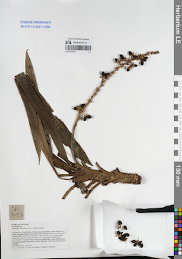
LE 01077627
Ophiopogon fruticulosus Aver., N.Tanaka & K.S.Nguyen det. Averyanov, Leonid Vladimirovich at 14.11.2014
Collectors: Averyanov, Leonid Vladimirovich; Tien Hiep Nguyen; Khang Sinh Nguyen; et al. Field collecting number: CPC7453. Collection date: 14.11.2014. Administrative regions: VN - Tinh Ha Giang. Groups of specimens: L. V. Averyanov specimens; L. V. Averyanov herbarium; Соглашение Минобрнауки №075-15-2021-1056Original label text:FLORA OF VIETNAM
Convallariaceae
Ophiopogon fruticulosus Aver., Tanaka, Khang
Ha Giang Prov., Bac Me Distr., Phieng Luong municipality, around Phieng Day village.
Degraded primary broad-leaved humid evergreen forest along rocky canyon of small stream at the base of mountains composed with solid crystalline highly eroded limestone at elevation 900-1000 m a.s.l. around point 22°38′43.8″N 105°19′19.8″E.
Terrestrial herb on shady wet stream slope. Leaves uniform green with dirty dull purple nerves below. Flowers light pink, anthers and stigmas yellow. Abundant.
14 November 2014 CPC 7453
Coll.: L.Averyanov, N.T.Hiep, N.S.Khang, T.Maisak, L.Osinovetz
Coordinates (geographic position): 22° 38′ 43.8″ N, 105° 19′ 19.8″ E ±1000 mRecord creation: 2021-12-02, Tatiana Maisak, PhotoScan D2Citation: Specimen LE 01077627 // Virtual herbarium of Komarov Botanical Institute RAS — http://re.herbariumle.ru/01077627Convallariaceae
Ophiopogon fruticulosus Aver., Tanaka, Khang
Ha Giang Prov., Bac Me Distr., Phieng Luong municipality, around Phieng Day village.
Degraded primary broad-leaved humid evergreen forest along rocky canyon of small stream at the base of mountains composed with solid crystalline highly eroded limestone at elevation 900-1000 m a.s.l. around point 22°38′43.8″N 105°19′19.8″E.
Terrestrial herb on shady wet stream slope. Leaves uniform green with dirty dull purple nerves below. Flowers light pink, anthers and stigmas yellow. Abundant.
14 November 2014 CPC 7453
Coll.: L.Averyanov, N.T.Hiep, N.S.Khang, T.Maisak, L.Osinovetz
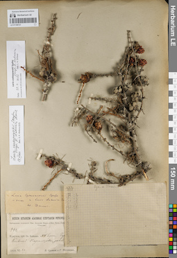
LE 01146131
Groups of specimens: Образцы сектора Сибири и Дальнего Востока России; Соглашение Минобрнауки №075-15-2021-1056Record creation: 2021-12-02, Larisa Orlova, PhotoScan D2Citation: Specimen LE 01146131 // Virtual herbarium of Komarov Botanical Institute RAS — http://re.herbariumle.ru/01146131
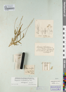
LE 01154504
Groups of specimens: Гербарий Карла Бернхарда Триниуса; Соглашение Минобрнауки №075-15-2021-1056Record creation: 2021-12-02, Marina Yarichina, PhotoScan D2Citation: Specimen LE 01154504 // Virtual herbarium of Komarov Botanical Institute RAS — http://re.herbariumle.ru/01154504
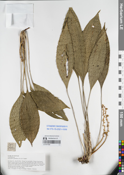
LE 01077626
Peliosanthes grandiflora Aver. & N.Tanaka ⟮prelim. ID⟯ det. Averyanov, Leonid Vladimirovich at 16.11.2014
Collectors: Averyanov, Leonid Vladimirovich; Tien Hiep Nguyen; Khang Sinh Nguyen; et al. Field collecting number: CPC7490. Collection date: 16.11.2014. Administrative regions: VN - Tinh Ha Giang. Groups of specimens: L. V. Averyanov specimens; L. V. Averyanov herbarium; Соглашение Минобрнауки №075-15-2021-1056Original label text:FLORA OF VIETNAM
Convallariaceae
Peliosanthes grandiflora Aver. & N.Tanaka?
Ha Giang Prov., Bac Me Distr., Thuong Tan municipality.
Primary broad-leaved humid evergreen forest on very steep slopes and along rocky ridge composed with solid crystalline highly eroded limestone at elevation 1200-1285 m a.s.l. around point 22°38′19.0″N 105°17′06.5″E.
Terrestrial herb on mountain shady slope. Flowers dull light greenish with light violet tint. Locally common.
16 November 2014 CPC 7490 photos
Coll.: L.Averyanov, N.T.Hiep, N.S.Khang, T.Maisak, L.Osinovetz
Herbarium and photos are prepared in 10.11.2020, flowers dirty violet, L. Averyanov, T. Maisak, CPC 7490.1, GN 14391.
Coordinates (geographic position): 22° 38′ 19″ N, 105° 17′ 6.5″ E ±1000 mRecord creation: 2021-12-02, Tatiana Maisak, PhotoScan D2Citation: Specimen LE 01077626 // Virtual herbarium of Komarov Botanical Institute RAS — http://re.herbariumle.ru/01077626Convallariaceae
Peliosanthes grandiflora Aver. & N.Tanaka?
Ha Giang Prov., Bac Me Distr., Thuong Tan municipality.
Primary broad-leaved humid evergreen forest on very steep slopes and along rocky ridge composed with solid crystalline highly eroded limestone at elevation 1200-1285 m a.s.l. around point 22°38′19.0″N 105°17′06.5″E.
Terrestrial herb on mountain shady slope. Flowers dull light greenish with light violet tint. Locally common.
16 November 2014 CPC 7490 photos
Coll.: L.Averyanov, N.T.Hiep, N.S.Khang, T.Maisak, L.Osinovetz
Herbarium and photos are prepared in 10.11.2020, flowers dirty violet, L. Averyanov, T. Maisak, CPC 7490.1, GN 14391.
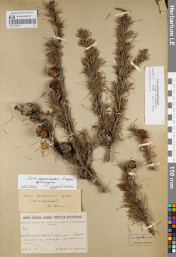
LE 01146130
Groups of specimens: Образцы сектора Сибири и Дальнего Востока России; Соглашение Минобрнауки №075-15-2021-1056Record creation: 2021-12-02, Larisa Orlova, PhotoScan D2Citation: Specimen LE 01146130 // Virtual herbarium of Komarov Botanical Institute RAS — http://re.herbariumle.ru/01146130
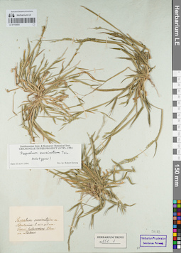
LE 01154503
Groups of specimens: Гербарий Карла Бернхарда Триниуса; Соглашение Минобрнауки №075-15-2021-1056Record creation: 2021-12-02, Marina Yarichina, PhotoScan D2Citation: Specimen LE 01154503 // Virtual herbarium of Komarov Botanical Institute RAS — http://re.herbariumle.ru/01154503
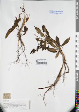
LE 01077625
Ophiopogon dracaenoides (Baker) Hook.f. ⟮prelim. ID⟯ det. Averyanov, Leonid Vladimirovich at 02.04.2015
Collectors: Tien Hiep Nguyen; Averyanov, Leonid Vladimirovich; Khang Sinh Nguyen; et al. Field collecting number: LA-VN877. Collection date: 02.04.2015. Administrative regions: LA - Xiangkhouang. Groups of specimens: L. V. Averyanov specimens; L. V. Averyanov herbarium; Соглашение Минобрнауки №075-15-2021-1056Original label text:FLORA OF LAOS
Convallariaceae
Ophiopogon dracaenoides (Baker) Hook.f.?
Xiangkhouang Prov., Peak Distr., Oran village, around point 19°38′53”N 103°23′12”E.
Primary and secondary broad-leaved evergreen dry forest on shale sandstone slopes and along ridge edge at elev. about 1750-1850 m a.s.l.
Terrestrial herb 20-30 cm tall in shady place. Locally common.
LA-VN 877 2 April 2015
Coll.: N.T.Hiep, L.Averyanov, N.S.Khang, N.Q.Hieu, T.Maisak, Pheng Phengsintham.
Coordinates (geographic position): 19° 38′ 53″ N, 103° 23′ 12″ E ±1000 mRecord creation: 2021-12-02, Tatiana Maisak, PhotoScan D2Citation: Specimen LE 01077625 // Virtual herbarium of Komarov Botanical Institute RAS — http://re.herbariumle.ru/01077625Convallariaceae
Ophiopogon dracaenoides (Baker) Hook.f.?
Xiangkhouang Prov., Peak Distr., Oran village, around point 19°38′53”N 103°23′12”E.
Primary and secondary broad-leaved evergreen dry forest on shale sandstone slopes and along ridge edge at elev. about 1750-1850 m a.s.l.
Terrestrial herb 20-30 cm tall in shady place. Locally common.
LA-VN 877 2 April 2015
Coll.: N.T.Hiep, L.Averyanov, N.S.Khang, N.Q.Hieu, T.Maisak, Pheng Phengsintham.
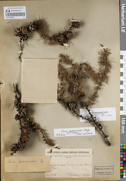
LE 01146129
Groups of specimens: Образцы сектора Сибири и Дальнего Востока России; Соглашение Минобрнауки №075-15-2021-1056Record creation: 2021-12-02, Larisa Orlova, PhotoScan D2Citation: Specimen LE 01146129 // Virtual herbarium of Komarov Botanical Institute RAS — http://re.herbariumle.ru/01146129
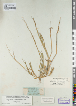
LE 01154502
Groups of specimens: Гербарий Карла Бернхарда Триниуса; Соглашение Минобрнауки №075-15-2021-1056Record creation: 2021-12-02, Marina Yarichina, PhotoScan D2Citation: Specimen LE 01154502 // Virtual herbarium of Komarov Botanical Institute RAS — http://re.herbariumle.ru/01154502
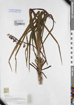
LE 01077624
Ophiopogon cordylinoides Prain det. Noriyuki Tanaka at 20.01.2025
Additional identifications: Ophiopogon bockianus Diels det. Averyanov, Leonid Vladimirovich at 02.04.2015 Collectors: Tien Hiep Nguyen; Averyanov, Leonid Vladimirovich; Khang Sinh Nguyen; et al. Field collecting number: LA-VN875. Collection date: 02.04.2015. Administrative regions: LA - Xiangkhouang. Groups of specimens: L. V. Averyanov specimens; L. V. Averyanov herbarium; Соглашение Минобрнауки №075-15-2021-1056Original label text:FLORA OF LAOS
Convallariaceae
Ophiopogon bockianus Diels?
Xiangkhouang Prov., Peak Distr., Oran village, around point 19°38′53”N 103°23′12”E. Primary and secondary broad-leaved evergreen dry forest on shale sandstone slopes and along ridge edge at elev. about 1750-1850 m a.s.l. Terrestrial herb 0.5 m tall. Flowers light violet. Not common.
LA-VN 875 2 April 2015
Coll.: N.T.Hiep, L.Averyanov, N.S.Khang, N.Q.Hieu, T.Maisak, Pheng Phengsintham.
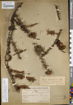
LE 01146128
Groups of specimens: Образцы сектора Сибири и Дальнего Востока России; Соглашение Минобрнауки №075-15-2021-1056Record creation: 2021-12-02, Larisa Orlova, PhotoScan D2Citation: Specimen LE 01146128 // Virtual herbarium of Komarov Botanical Institute RAS — http://re.herbariumle.ru/01146128
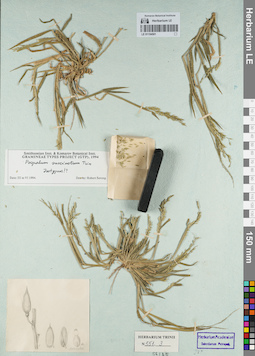
LE 01154501
Groups of specimens: Гербарий Карла Бернхарда Триниуса; Соглашение Минобрнауки №075-15-2021-1056Record creation: 2021-12-02, Marina Yarichina, PhotoScan D2Citation: Specimen LE 01154501 // Virtual herbarium of Komarov Botanical Institute RAS — http://re.herbariumle.ru/01154501
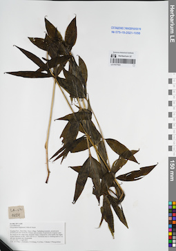
LE 01077623
Polygonatum kingianum Collett & Hemsl. det. Averyanov, Leonid Vladimirovich at 12.04.2015
Collectors: Tien Hiep Nguyen; Averyanov, Leonid Vladimirovich; Khang Sinh Nguyen; et al. Field collecting number: LA-VN1424. Collection date: 12.04.2015. Administrative regions: LA - Houaphan. Groups of specimens: L. V. Averyanov specimens; L. V. Averyanov herbarium; Соглашение Минобрнауки №075-15-2021-1056Original label text:FLORA OF LAOS
Convallariaceae
Polygonatum kingianum Collett & Hemsl.
Houphan Prov., Hem Distr., Nacoc village, Puphadeng mountain, around point 20°09′52.6′'N 103°10′19.4′'E.
Primary and secondary broad-leaved evergreen open dry forest on very steep rocky mountain slopes composed by solid marble like highly eroded limestone at elev. 1000-1200 m a.s.l.
Terrestrial erect or climbing herb to 2 m tall near mountain top. Occasionbal.
LA-VN 1424 12 April 2015
Coll.: N.T.Hiep, L.Averyanov, N.S.Khang, N.Q.Hieu, T.Maisak, Pheng Phengsintham.
Coordinates (geographic position): 20° 9′ 52.6″ N, 103° 10′ 19.4″ E ±1000 mRecord creation: 2021-12-02, Tatiana Maisak, PhotoScan D2Citation: Specimen LE 01077623 // Virtual herbarium of Komarov Botanical Institute RAS — http://re.herbariumle.ru/01077623Convallariaceae
Polygonatum kingianum Collett & Hemsl.
Houphan Prov., Hem Distr., Nacoc village, Puphadeng mountain, around point 20°09′52.6′'N 103°10′19.4′'E.
Primary and secondary broad-leaved evergreen open dry forest on very steep rocky mountain slopes composed by solid marble like highly eroded limestone at elev. 1000-1200 m a.s.l.
Terrestrial erect or climbing herb to 2 m tall near mountain top. Occasionbal.
LA-VN 1424 12 April 2015
Coll.: N.T.Hiep, L.Averyanov, N.S.Khang, N.Q.Hieu, T.Maisak, Pheng Phengsintham.
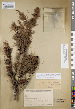
LE 01146127
Groups of specimens: Образцы сектора Сибири и Дальнего Востока России; Соглашение Минобрнауки №075-15-2021-1056Record creation: 2021-12-02, Larisa Orlova, PhotoScan D2Citation: Specimen LE 01146127 // Virtual herbarium of Komarov Botanical Institute RAS — http://re.herbariumle.ru/01146127
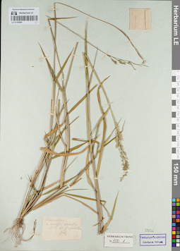
LE 01154500
Groups of specimens: Гербарий Карла Бернхарда Триниуса; Соглашение Минобрнауки №075-15-2021-1056Record creation: 2021-12-02, Marina Yarichina, PhotoScan D2Citation: Specimen LE 01154500 // Virtual herbarium of Komarov Botanical Institute RAS — http://re.herbariumle.ru/01154500
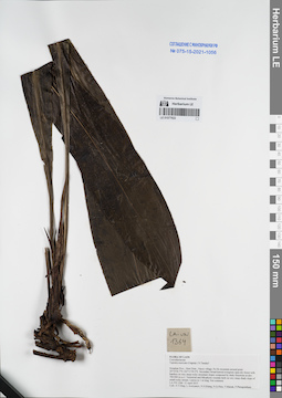
LE 01077622
Tupistra muricata (Gagnep.) N.Tanaka ⟮prelim. ID⟯ det. Averyanov, Leonid Vladimirovich at 12.04.2015
Collectors: Tien Hiep Nguyen; Averyanov, Leonid Vladimirovich; Khang Sinh Nguyen; et al. Field collecting number: LA-VN1364. Collection date: 12.04.2015. Administrative regions: LA - Houaphan. Groups of specimens: L. V. Averyanov specimens; L. V. Averyanov herbarium; Соглашение Минобрнауки №075-15-2021-1056Original label text:FLORA OF LAOS
Convallariaceae
Tupistra muricata (Gagnep.) N.Tanaka?
Houphan Prov., Hem Distr., Nacoc village, Pu He mountain around point 20°10′36.7′'N 103°11′39.2′'E.
Secondary broad-leaved evergreen open dry forest with bamboo on very steep rocky mountain slopes composed by shaly limestone at elev. 700-900 m a.s.l.
Terrestrial and lithophytic rosulate herb on very steep shady slope of small rocky stream. Leaves to 1 m long. Not common.
LA-VN 1364 12 April 2015
Coll.: N.T.Hiep, L.Averyanov, N.S.Khang, N.Q.Hieu, T.Maisak, Pheng Phengsintham.
Coordinates (geographic position): 20° 10′ 36.7″ N, 103° 11′ 39.2″ E ±1000 mRecord creation: 2021-12-02, Tatiana Maisak, PhotoScan D2Citation: Specimen LE 01077622 // Virtual herbarium of Komarov Botanical Institute RAS — http://re.herbariumle.ru/01077622Convallariaceae
Tupistra muricata (Gagnep.) N.Tanaka?
Houphan Prov., Hem Distr., Nacoc village, Pu He mountain around point 20°10′36.7′'N 103°11′39.2′'E.
Secondary broad-leaved evergreen open dry forest with bamboo on very steep rocky mountain slopes composed by shaly limestone at elev. 700-900 m a.s.l.
Terrestrial and lithophytic rosulate herb on very steep shady slope of small rocky stream. Leaves to 1 m long. Not common.
LA-VN 1364 12 April 2015
Coll.: N.T.Hiep, L.Averyanov, N.S.Khang, N.Q.Hieu, T.Maisak, Pheng Phengsintham.
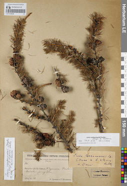
LE 01146126
Groups of specimens: Образцы сектора Сибири и Дальнего Востока России; Соглашение Минобрнауки №075-15-2021-1056Record creation: 2021-12-02, Larisa Orlova, PhotoScan D2Citation: Specimen LE 01146126 // Virtual herbarium of Komarov Botanical Institute RAS — http://re.herbariumle.ru/01146126
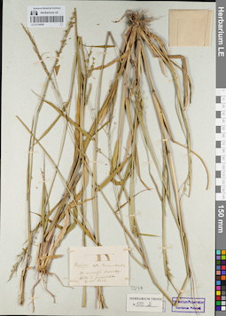
LE 01154499
Groups of specimens: Гербарий Карла Бернхарда Триниуса; Соглашение Минобрнауки №075-15-2021-1056Record creation: 2021-12-02, Marina Yarichina, PhotoScan D2Citation: Specimen LE 01154499 // Virtual herbarium of Komarov Botanical Institute RAS — http://re.herbariumle.ru/01154499
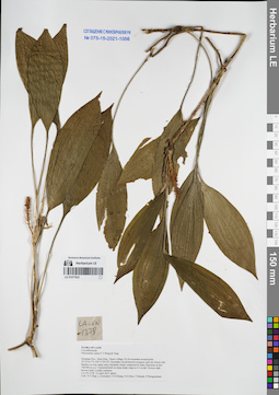
LE 01077621
Peliosanthes sinica F.T.Wang & Tang det. Averyanov, Leonid Vladimirovich at 12.04.2015
Collectors: Tien Hiep Nguyen; Averyanov, Leonid Vladimirovich; Khang Sinh Nguyen; et al. Field collecting number: LA-VN1378. Collection date: 12.04.2015. Administrative regions: LA - Houaphan. Groups of specimens: L. V. Averyanov specimens; L. V. Averyanov herbarium; Соглашение Минобрнауки №075-15-2021-1056Original label text:FLORA OF LAOS
Convallariaceae
Peliosanthes sinica F.T.Wang & Tang
Houphan Prov., Hem Distr., Nacoc village, Pu He mountain around point 20°10′36.7′'N 103°11′39.2′'E.
Secondary broad-leaved evergreen open dry forest with bamboo on very steep rocky mountain slopes co
Terrestrial herb on steep shady slope to 0.5 m tall. Flowers dark brown-violet. Locally common.
LA-VN 1378 12 April 2015 photo
Coll.: N.T.Hiep, L.Averyanov, N.S.Khang, N.Q.Hieu, T.Maisak, Pheng Phengsintham.
Coordinates (geographic position): 20° 10′ 36.7″ N, 103° 11′ 39.2″ E ±1000 mRecord creation: 2021-12-02, Tatiana Maisak, PhotoScan D2Citation: Specimen LE 01077621 // Virtual herbarium of Komarov Botanical Institute RAS — http://re.herbariumle.ru/01077621Convallariaceae
Peliosanthes sinica F.T.Wang & Tang
Houphan Prov., Hem Distr., Nacoc village, Pu He mountain around point 20°10′36.7′'N 103°11′39.2′'E.
Secondary broad-leaved evergreen open dry forest with bamboo on very steep rocky mountain slopes co
Terrestrial herb on steep shady slope to 0.5 m tall. Flowers dark brown-violet. Locally common.
LA-VN 1378 12 April 2015 photo
Coll.: N.T.Hiep, L.Averyanov, N.S.Khang, N.Q.Hieu, T.Maisak, Pheng Phengsintham.
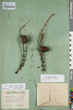
LE 01146125
Groups of specimens: Образцы сектора Сибири и Дальнего Востока России; Соглашение Минобрнауки №075-15-2021-1056Record creation: 2021-12-02, Larisa Orlova, PhotoScan D2Citation: Specimen LE 01146125 // Virtual herbarium of Komarov Botanical Institute RAS — http://re.herbariumle.ru/01146125
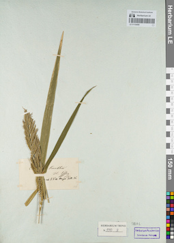
LE 01154498
Groups of specimens: Гербарий Карла Бернхарда Триниуса; Соглашение Минобрнауки №075-15-2021-1056Record creation: 2021-12-02, Marina Yarichina, PhotoScan D2Citation: Specimen LE 01154498 // Virtual herbarium of Komarov Botanical Institute RAS — http://re.herbariumle.ru/01154498
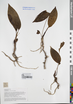
LE 01077620
Aspidistra formosa (Tillich) Aver. & Tillich det. Averyanov, Leonid Vladimirovich at 24.11.2014
Collectors: Averyanov, Leonid Vladimirovich; et al. Field collecting number: CPC7654. Collection date: 24.11.2014. Administrative regions: VN - Tinh Cao Bang. Groups of specimens: L. V. Averyanov specimens; L. V. Averyanov herbarium; Соглашение Минобрнауки №075-15-2021-1056Original label text:FLORA OF VIETNAM
Convallariaceae
Aspidistra formosa (Tillich) Aver. & Tillich
Cao Bang Prov., Bao Lac Distr., Dinh Phung municipality, Ban Meo village. Secondary broad-leaved evergreen forest on steep stream slope composed by shale stratified limestone at elevation 800-900 m a.s.l. around point 22°44′32.0″N 105°46′29.1″E. Terrestrial creeping herb in shady rocky stream valley. Leaves uniform green or with dull yellow spots. Locally common.
24 November 2014 CPC 7654 / 11616 photos
Coll.: L.Averyanov, N.T.Hiep, N.S.Khang, T.Maisak, L.Osinovetz
Coordinates (geographic position): 22° 44′ 32″ N, 105° 46′ 29.1″ E ±1000 mRecord creation: 2021-11-09, Leonid Averyanov, PhotoScan D2. Processing status: work_status_1Citation: Specimen LE 01077620 // Virtual herbarium of Komarov Botanical Institute RAS — http://re.herbariumle.ru/01077620Convallariaceae
Aspidistra formosa (Tillich) Aver. & Tillich
Cao Bang Prov., Bao Lac Distr., Dinh Phung municipality, Ban Meo village. Secondary broad-leaved evergreen forest on steep stream slope composed by shale stratified limestone at elevation 800-900 m a.s.l. around point 22°44′32.0″N 105°46′29.1″E. Terrestrial creeping herb in shady rocky stream valley. Leaves uniform green or with dull yellow spots. Locally common.
24 November 2014 CPC 7654 / 11616 photos
Coll.: L.Averyanov, N.T.Hiep, N.S.Khang, T.Maisak, L.Osinovetz
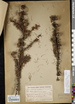
LE 01146124
Groups of specimens: Образцы сектора Сибири и Дальнего Востока России; Соглашение Минобрнауки №075-15-2021-1056Record creation: 2021-12-02, Larisa Orlova, PhotoScan D2Citation: Specimen LE 01146124 // Virtual herbarium of Komarov Botanical Institute RAS — http://re.herbariumle.ru/01146124
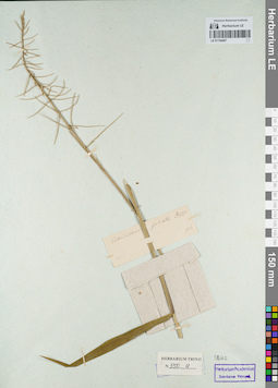
LE 01154497
Groups of specimens: Гербарий Карла Бернхарда Триниуса; Соглашение Минобрнауки №075-15-2021-1056Record creation: 2021-12-02, Marina Yarichina, PhotoScan D2Citation: Specimen LE 01154497 // Virtual herbarium of Komarov Botanical Institute RAS — http://re.herbariumle.ru/01154497
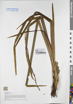
LE 01077619
Ophiopogon tonkinensis L.Rodr. det. Averyanov, Leonid Vladimirovich at 09.05.2015
Collectors: Nguyen Quang Hieu; Tien Hiep Nguyen; T.B. Ngan; et al. Field collecting number: CPC7800. Collection date: 09.05.2015. Administrative regions: VN - Tinh Ha Giang. Groups of specimens: L. V. Averyanov specimens; L. V. Averyanov herbarium; Соглашение Минобрнауки №075-15-2021-1056Original label text:FLORA OF VIETNAM
Ha Giang Prov., Vi Xuyen Distr., Tung Ba municipality, Khau Ca NR. Primary broad-leaved humid evergreen forest on very steep slopes and along rocky ridge composed with solid crystalline highly eroded limestone at elevation 700-1150 m a.s.l. around point 22°50′43.9″N 105°07′18.5″E. Terrestrial herb 60- 70 cm in high; common.
09 May 2015 CPC 7800 Coll.: N.Q. Hieu, N.T.Hiep, T.B. Ngan, C.Q. Ngan, D.K. Harder, C. P. Tuy, G.C.Pao
Coordinates (geographic position): 22° 50′ 43.9″ N, 105° 7′ 18.5″ E ±1000 mRecord creation: 2021-12-02, Tatiana Maisak, PhotoScan D2. Processing status: work_status_1Citation: Specimen LE 01077619 // Virtual herbarium of Komarov Botanical Institute RAS — http://re.herbariumle.ru/01077619Convallariaceae
Ophiopogon tonkinensis L.Rodr.
Ophiopogon tonkinensis L.Rodr.
Ha Giang Prov., Vi Xuyen Distr., Tung Ba municipality, Khau Ca NR. Primary broad-leaved humid evergreen forest on very steep slopes and along rocky ridge composed with solid crystalline highly eroded limestone at elevation 700-1150 m a.s.l. around point 22°50′43.9″N 105°07′18.5″E. Terrestrial herb 60- 70 cm in high; common.
09 May 2015 CPC 7800 Coll.: N.Q. Hieu, N.T.Hiep, T.B. Ngan, C.Q. Ngan, D.K. Harder, C. P. Tuy, G.C.Pao