View
Add
Copy
Edit
Delete
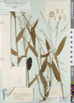
LE 01155632
Groups of specimens: Гербарий Карла Бернхарда Триниуса; Соглашение Минобрнауки №075-15-2021-1056Record creation: 2021-12-15, Denis Melnikov, PhotoScan D2Citation: Specimen LE 01155632 // Virtual herbarium of Komarov Botanical Institute RAS — http://re.herbariumle.ru/01155632
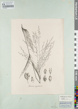
LE 01155631
Groups of specimens: Гербарий Карла Бернхарда Триниуса; Соглашение Минобрнауки №075-15-2021-1056Record creation: 2021-12-15, Denis Melnikov, PhotoScan D2Citation: Specimen LE 01155631 // Virtual herbarium of Komarov Botanical Institute RAS — http://re.herbariumle.ru/01155631
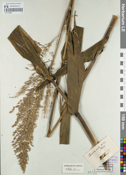
LE 01155630
Groups of specimens: Гербарий Карла Бернхарда Триниуса; Соглашение Минобрнауки №075-15-2021-1056Record creation: 2021-12-15, Denis Melnikov, PhotoScan D2Citation: Specimen LE 01155630 // Virtual herbarium of Komarov Botanical Institute RAS — http://re.herbariumle.ru/01155630
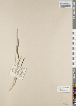
LE 01155629
Groups of specimens: Гербарий Карла Бернхарда Триниуса; Соглашение Минобрнауки №075-15-2021-1056Record creation: 2021-12-15, Denis Melnikov, PhotoScan D2Citation: Specimen LE 01155629 // Virtual herbarium of Komarov Botanical Institute RAS — http://re.herbariumle.ru/01155629
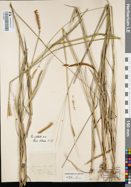
LE 01155628
Groups of specimens: Гербарий Карла Бернхарда Триниуса; Соглашение Минобрнауки №075-15-2021-1056Record creation: 2021-12-15, Denis Melnikov, PhotoScan D2Citation: Specimen LE 01155628 // Virtual herbarium of Komarov Botanical Institute RAS — http://re.herbariumle.ru/01155628
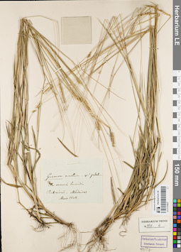
LE 01155627
Groups of specimens: Гербарий Карла Бернхарда Триниуса; Соглашение Минобрнауки №075-15-2021-1056Record creation: 2021-12-15, Denis Melnikov, PhotoScan D2Citation: Specimen LE 01155627 // Virtual herbarium of Komarov Botanical Institute RAS — http://re.herbariumle.ru/01155627
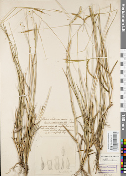
LE 01155626
Groups of specimens: Гербарий Карла Бернхарда Триниуса; Соглашение Минобрнауки №075-15-2021-1056Record creation: 2021-12-15, Denis Melnikov, PhotoScan D2Citation: Specimen LE 01155626 // Virtual herbarium of Komarov Botanical Institute RAS — http://re.herbariumle.ru/01155626
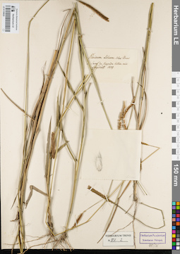
LE 01155625
Groups of specimens: Гербарий Карла Бернхарда Триниуса; Соглашение Минобрнауки №075-15-2021-1056Record creation: 2021-12-15, Denis Melnikov, PhotoScan D2Citation: Specimen LE 01155625 // Virtual herbarium of Komarov Botanical Institute RAS — http://re.herbariumle.ru/01155625
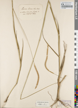
LE 01155624
Groups of specimens: Гербарий Карла Бернхарда Триниуса; Соглашение Минобрнауки №075-15-2021-1056Record creation: 2021-12-15, Denis Melnikov, PhotoScan D2Citation: Specimen LE 01155624 // Virtual herbarium of Komarov Botanical Institute RAS — http://re.herbariumle.ru/01155624
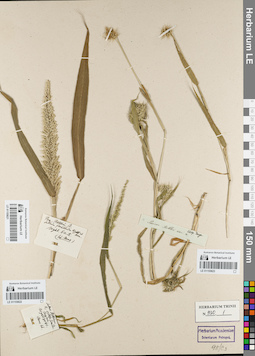
LE 01155623
Groups of specimens: Гербарий Карла Бернхарда Триниуса; Соглашение Минобрнауки №075-15-2021-1056Record creation: 2021-12-15, Denis Melnikov, PhotoScan D2Citation: Specimen LE 01155623 // Virtual herbarium of Komarov Botanical Institute RAS — http://re.herbariumle.ru/01155623
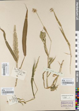
LE 01155622
Groups of specimens: Гербарий Карла Бернхарда Триниуса; Соглашение Минобрнауки №075-15-2021-1056Record creation: 2021-12-15, Denis Melnikov, PhotoScan D2Citation: Specimen LE 01155622 // Virtual herbarium of Komarov Botanical Institute RAS — http://re.herbariumle.ru/01155622
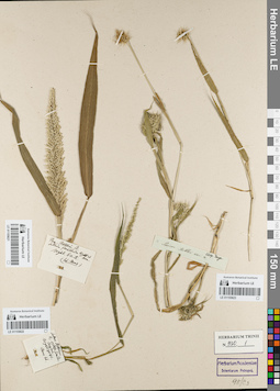
LE 01155621
Groups of specimens: Гербарий Карла Бернхарда Триниуса; Соглашение Минобрнауки №075-15-2021-1056Record creation: 2021-12-15, Denis Melnikov, PhotoScan D2Citation: Specimen LE 01155621 // Virtual herbarium of Komarov Botanical Institute RAS — http://re.herbariumle.ru/01155621
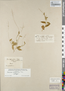
LE 01155620
Groups of specimens: Гербарий Карла Бернхарда Триниуса; Соглашение Минобрнауки №075-15-2021-1056Record creation: 2021-12-15, Denis Melnikov, PhotoScan D2Citation: Specimen LE 01155620 // Virtual herbarium of Komarov Botanical Institute RAS — http://re.herbariumle.ru/01155620
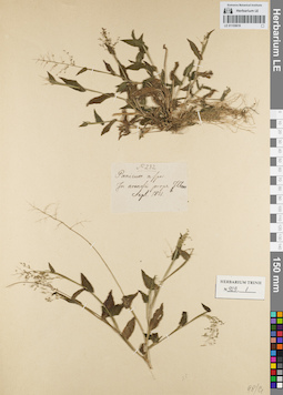
LE 01155619
Groups of specimens: Гербарий Карла Бернхарда Триниуса; Соглашение Минобрнауки №075-15-2021-1056Record creation: 2021-12-15, Denis Melnikov, PhotoScan D2Citation: Specimen LE 01155619 // Virtual herbarium of Komarov Botanical Institute RAS — http://re.herbariumle.ru/01155619
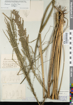
LE 01155618
Groups of specimens: Гербарий Карла Бернхарда Триниуса; Соглашение Минобрнауки №075-15-2021-1056Record creation: 2021-12-15, Denis Melnikov, PhotoScan D2Citation: Specimen LE 01155618 // Virtual herbarium of Komarov Botanical Institute RAS — http://re.herbariumle.ru/01155618
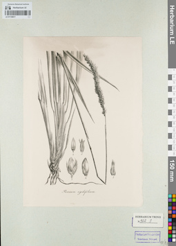
LE 01155617
Groups of specimens: Гербарий Карла Бернхарда Триниуса; Соглашение Минобрнауки №075-15-2021-1056Record creation: 2021-12-15, Denis Melnikov, PhotoScan D2Citation: Specimen LE 01155617 // Virtual herbarium of Komarov Botanical Institute RAS — http://re.herbariumle.ru/01155617
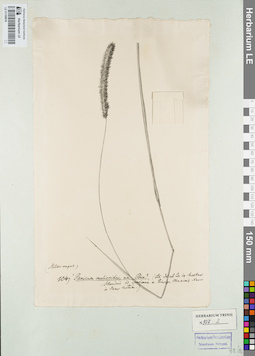
LE 01155616
Groups of specimens: Гербарий Карла Бернхарда Триниуса; Соглашение Минобрнауки №075-15-2021-1056Record creation: 2021-12-15, Denis Melnikov, PhotoScan D2Citation: Specimen LE 01155616 // Virtual herbarium of Komarov Botanical Institute RAS — http://re.herbariumle.ru/01155616
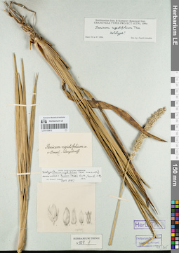
LE 01155615
Groups of specimens: Гербарий Карла Бернхарда Триниуса; Соглашение Минобрнауки №075-15-2021-1056Record creation: 2021-12-15, Denis Melnikov, PhotoScan D2Citation: Specimen LE 01155615 // Virtual herbarium of Komarov Botanical Institute RAS — http://re.herbariumle.ru/01155615
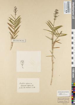
LE 01155614
Groups of specimens: Гербарий Карла Бернхарда Триниуса; Соглашение Минобрнауки №075-15-2021-1056Record creation: 2021-12-15, Denis Melnikov, PhotoScan D2Citation: Specimen LE 01155614 // Virtual herbarium of Komarov Botanical Institute RAS — http://re.herbariumle.ru/01155614
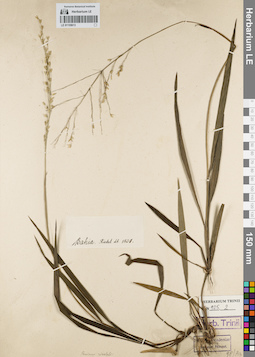
LE 01155613
Groups of specimens: Гербарий Карла Бернхарда Триниуса; Соглашение Минобрнауки №075-15-2021-1056Record creation: 2021-12-15, Denis Melnikov, PhotoScan D2Citation: Specimen LE 01155613 // Virtual herbarium of Komarov Botanical Institute RAS — http://re.herbariumle.ru/01155613
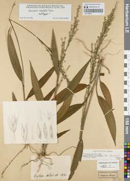
LE 01155612
Groups of specimens: Гербарий Карла Бернхарда Триниуса; Соглашение Минобрнауки №075-15-2021-1056Record creation: 2021-12-15, Denis Melnikov, PhotoScan D2Citation: Specimen LE 01155612 // Virtual herbarium of Komarov Botanical Institute RAS — http://re.herbariumle.ru/01155612
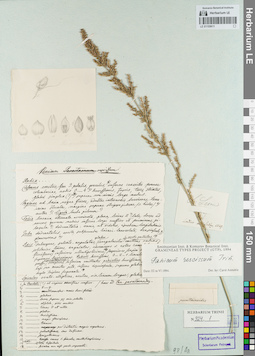
LE 01155611
Groups of specimens: Гербарий Карла Бернхарда Триниуса; Соглашение Минобрнауки №075-15-2021-1056Record creation: 2021-12-15, Denis Melnikov, PhotoScan D2Citation: Specimen LE 01155611 // Virtual herbarium of Komarov Botanical Institute RAS — http://re.herbariumle.ru/01155611
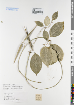
LE 01077808
Heterostemma brownii Hayata det. Cuong, Huu Nguyen at 12.01.2018
Additional identifications: Apocynaceae sp. det. Busch Collectors: Takhtajan, Armen Leonovich. Field collecting number: 8570. Collection date: 29.01.1975. Administrative regions: VN - Vietnam. Groups of specimens: L. V. Averyanov specimens; L. V. Averyanov herbarium; Соглашение Минобрнауки №075-15-2021-1056Original label text:Apocynaceae
N.Vietnam
29.01.1975
A.Takhtajan 8570
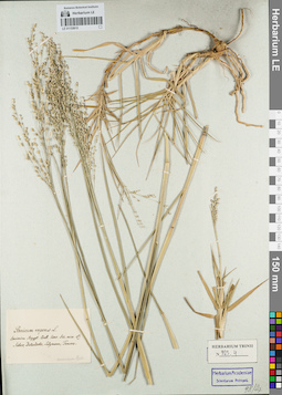
LE 01155610
Groups of specimens: Гербарий Карла Бернхарда Триниуса; Соглашение Минобрнауки №075-15-2021-1056Record creation: 2021-12-15, Denis Melnikov, PhotoScan D2Citation: Specimen LE 01155610 // Virtual herbarium of Komarov Botanical Institute RAS — http://re.herbariumle.ru/01155610
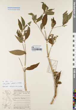
LE 01077807
Achyranthes indica (L.) Mill. det. Cuong, Huu Nguyen at 18.01.2018
Additional identifications: Achyranthes sp. at 25.08.1961 Collectors: Busch Field collecting number: N 3813. Collection date: 25.08.1961. Administrative regions: VN - Thanh Pho Ha Noi. Groups of specimens: L. V. Averyanov specimens; L. V. Averyanov herbarium; Соглашение Минобрнауки №075-15-2021-1056Original label text:Flora Vietnamica
Советско-Вьетнамская экспедиция
Achyranthes sp.
N.Vietnam, prov. Ha Noi, Bavi
№ 3813, 25.08.1961
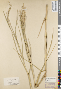
LE 01155609
Groups of specimens: Гербарий Карла Бернхарда Триниуса; Соглашение Минобрнауки №075-15-2021-1056Record creation: 2021-12-15, Denis Melnikov, PhotoScan D2Citation: Specimen LE 01155609 // Virtual herbarium of Komarov Botanical Institute RAS — http://re.herbariumle.ru/01155609
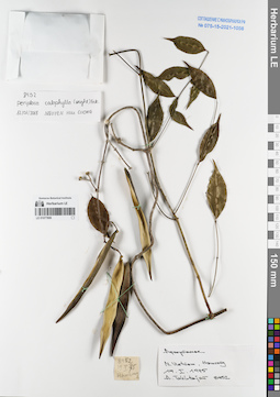
LE 01077806
Periploca calophylla Falc. det. Cuong, Huu Nguyen at 12.01.2018
Additional identifications: Apocynaceae sp. det. Averyanov, Leonid Vladimirovich Collectors: Takhtajan, Armen Leonovich. Field collecting number: 8452. Collection date: 19.01.1975. Administrative regions: VN - Tinh Lao Cai. Groups of specimens: L. V. Averyanov specimens; L. V. Averyanov herbarium; Соглашение Минобрнауки №075-15-2021-1056Original label text:Apocynaceae
N.Vietnam, Hamrong
19.01.1975
A.Takhtajan 8452
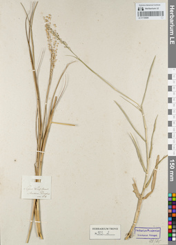
LE 01155608
Groups of specimens: Гербарий Карла Бернхарда Триниуса; Соглашение Минобрнауки №075-15-2021-1056Record creation: 2021-12-15, Denis Melnikov, PhotoScan D2Citation: Specimen LE 01155608 // Virtual herbarium of Komarov Botanical Institute RAS — http://re.herbariumle.ru/01155608
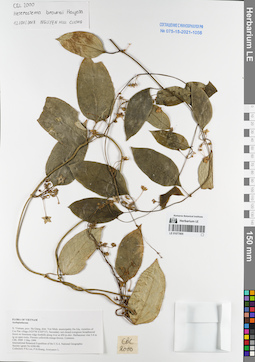
LE 01077805
Heterostemma brownii Hayata det. Cuong, Huu Nguyen at 12.01.2018
Additional identifications: Asclepiadaceae sp. det. Averyanov, Leonid Vladimirovich at 03.05.1999 Collectors: Phan Ke Loc; Averyanov, Leonid Vladimirovich; et al. Field collecting number: CBL2000. Collection date: 03.05.1999. Administrative regions: VN - Tinh Ha Giang. Groups of specimens: L. V. Averyanov specimens; L. V. Averyanov herbarium; Соглашение Минобрнауки №075-15-2021-1056Original label text:FLORA OF VIETNAM
Asclepiadaceae
N. Vietnam, prov. Ha Giang, distr. Yen Minh, municipality Du Gia, vicinities of Coc Pan village (N 23°56′ E 105°13′). Secondary wet closed evergreen broadleaved forest on limestone ridge foothills along river at 450 m elev. Herb vine 3-4 m lg on open rocks. Flowers yellowish-orange-brown. Common.
CBL 2000 03 May 1999
International Botanical Expedition of the U.S.A. National Geographic Society (grant No 6300-98)
Collectors: P.K.Loc, P.H.Hoang, Averyanov
Coordinates (geographic position): 23° 56′ N, 105° 13′ E ±1000 mRecord creation: 2021-12-15, Tatiana Maisak, PhotoScan D2. Processing status: work_status_1Citation: Specimen LE 01077805 // Virtual herbarium of Komarov Botanical Institute RAS — http://re.herbariumle.ru/01077805Asclepiadaceae
N. Vietnam, prov. Ha Giang, distr. Yen Minh, municipality Du Gia, vicinities of Coc Pan village (N 23°56′ E 105°13′). Secondary wet closed evergreen broadleaved forest on limestone ridge foothills along river at 450 m elev. Herb vine 3-4 m lg on open rocks. Flowers yellowish-orange-brown. Common.
CBL 2000 03 May 1999
International Botanical Expedition of the U.S.A. National Geographic Society (grant No 6300-98)
Collectors: P.K.Loc, P.H.Hoang, Averyanov
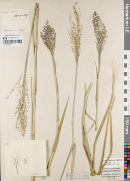
LE 01155607
Groups of specimens: Гербарий Карла Бернхарда Триниуса; Соглашение Минобрнауки №075-15-2021-1056Record creation: 2021-12-15, Denis Melnikov, PhotoScan D2Citation: Specimen LE 01155607 // Virtual herbarium of Komarov Botanical Institute RAS — http://re.herbariumle.ru/01155607
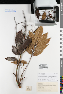
LE 01077804
Dracontomelon macrocarpum H.L.Li det. Cuong, Huu Nguyen at 05.04.2018
Additional identifications: Dracontomelon sp. ⟮prelim. ID⟯ det. Averyanov, Leonid Vladimirovich at 16.11.1995 Collectors: Averyanov, Leonid Vladimirovich; et al. Field collecting number: VH1698. Collection date: 16.11.1995. Administrative regions: VN - Kon Tum. Groups of specimens: L. V. Averyanov specimens; L. V. Averyanov herbarium; Соглашение Минобрнауки №075-15-2021-1056Original label text:FLORA OF VIETNAM
Anacardiaceae
Draconthomelum sp. ?
S. Vietnam, Prov. Kon Tum, Distr. Dak Gley, about 12 km to N of Dak Gley town (24 km by road), near Mang Khen village. Secondary wet mountain evergreen forest rich in primary elements at 1100-1200 m alt.
Tree 15-20 m high. VH 1698 16.11.1995
International Botanical Expedition of the U.S.A. National Geographic Society (grant No 5094-93)
Participants: L. Averyanov, N.T. Ban, A. Budantzev, L. Budantzev, N.T. Hiep, D.D. Huyen, P.K. Loc, G. Yakovlev
Record creation: 2021-12-15, Tatiana Maisak, PhotoScan D2. Processing status: work_status_1Citation: Specimen LE 01077804 // Virtual herbarium of Komarov Botanical Institute RAS — http://re.herbariumle.ru/01077804Anacardiaceae
Draconthomelum sp. ?
S. Vietnam, Prov. Kon Tum, Distr. Dak Gley, about 12 km to N of Dak Gley town (24 km by road), near Mang Khen village. Secondary wet mountain evergreen forest rich in primary elements at 1100-1200 m alt.
Tree 15-20 m high. VH 1698 16.11.1995
International Botanical Expedition of the U.S.A. National Geographic Society (grant No 5094-93)
Participants: L. Averyanov, N.T. Ban, A. Budantzev, L. Budantzev, N.T. Hiep, D.D. Huyen, P.K. Loc, G. Yakovlev
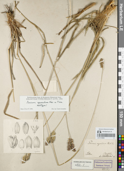
LE 01155606
Groups of specimens: Гербарий Карла Бернхарда Триниуса; Соглашение Минобрнауки №075-15-2021-1056Record creation: 2021-12-15, Denis Melnikov, PhotoScan D2Citation: Specimen LE 01155606 // Virtual herbarium of Komarov Botanical Institute RAS — http://re.herbariumle.ru/01155606
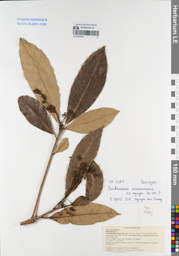
LE 01077803
Buchanania kontumemsis H.C.Nguyen ⟮prelim. ID⟯ det. Cuong, Huu Nguyen at 05.04.2018
Additional identifications: Buchanania sp. ⟮prelim. ID⟯ det. Averyanov, Leonid Vladimirovich at 05.12.1995 Collectors: Averyanov, Leonid Vladimirovich; et al. Field collecting number: VH2267. Collection date: 05.12.1995. Administrative regions: VN - Kon Tum. Groups of specimens: L. V. Averyanov specimens; L. V. Averyanov herbarium; Соглашение Минобрнауки №075-15-2021-1056Original label text:FLORA OF VIETNAM
Anacardiaceae
Buchanania sp. ?
S. Vietnam, Prov. Kon Tum, Distr. Dak Gley, about 10-12 km to the SE of Dak Gley town (4-6 km to the E of Dak Tung village). Primary evergreen mountain forest at 1000-1300 m alt. Tree 4-6 m high. Flowers yellowish-green. Not common. VH 2267 05.12.1995
International Botanical Expedition of the U.S.A. National Geographic Society (grant No 5094-93)
Participants: L. Averyanov, N.T. Ban, A. Budantzev, L. Budantzev, N.T. Hiep, D.D. Huyen, P.K. Loc, G. Yakovlev
Record creation: 2021-12-15, Tatiana Maisak, PhotoScan D2. Processing status: work_status_1Citation: Specimen LE 01077803 // Virtual herbarium of Komarov Botanical Institute RAS — http://re.herbariumle.ru/01077803Anacardiaceae
Buchanania sp. ?
S. Vietnam, Prov. Kon Tum, Distr. Dak Gley, about 10-12 km to the SE of Dak Gley town (4-6 km to the E of Dak Tung village). Primary evergreen mountain forest at 1000-1300 m alt. Tree 4-6 m high. Flowers yellowish-green. Not common. VH 2267 05.12.1995
International Botanical Expedition of the U.S.A. National Geographic Society (grant No 5094-93)
Participants: L. Averyanov, N.T. Ban, A. Budantzev, L. Budantzev, N.T. Hiep, D.D. Huyen, P.K. Loc, G. Yakovlev
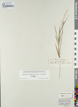
LE 01155605
Groups of specimens: Гербарий Карла Бернхарда Триниуса; Соглашение Минобрнауки №075-15-2021-1056Record creation: 2021-12-15, Denis Melnikov, PhotoScan D2Citation: Specimen LE 01155605 // Virtual herbarium of Komarov Botanical Institute RAS — http://re.herbariumle.ru/01155605
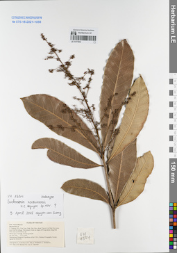
LE 01077802
Holotype of Buchanania kontumemsis H.C.Nguyen ⟮prelim. ID⟯ det. Cuong, Huu Nguyen at 05.04.2018
Additional identifications: Buchanania sp. det. Averyanov, Leonid Vladimirovich at 12.11.1995 Collectors: Averyanov, Leonid Vladimirovich; et al. Field collecting number: VH1554. Collection date: 12.11.1995. Administrative regions: VN - Kon Tum. Groups of specimens: L. V. Averyanov specimens; L. V. Averyanov herbarium; Соглашение Минобрнауки №075-15-2021-1056Original label text:FLORA OF VIETNAM
Anacardiaceae
Buchanania sp.
S. Vietnam, Prov. Kon Tum, Distr. Dak Gley, about 7 km to S of Dak Gley town, near Dak Pet willage. Wet primary forest on slopes of N exposition along Dak Poko river at 600-650 m alt.
Shrub up to 3 m high. Flowers greenish. VH 1554 12.11.1995
International Botanical Expedition of the U.S.A. National Geographic Society (grant No 5094-93)
Participants: L. Averyanov, N.T. Ban, A. Budantzev, L. Budantzev, N.T. Hiep, D.D. Huyen, P.K. Loc, G. Yakovlev
Record creation: 2021-12-15, Tatiana Maisak, PhotoScan D2. Processing status: work_status_1Citation: Specimen LE 01077802 // Virtual herbarium of Komarov Botanical Institute RAS — http://re.herbariumle.ru/01077802Anacardiaceae
Buchanania sp.
S. Vietnam, Prov. Kon Tum, Distr. Dak Gley, about 7 km to S of Dak Gley town, near Dak Pet willage. Wet primary forest on slopes of N exposition along Dak Poko river at 600-650 m alt.
Shrub up to 3 m high. Flowers greenish. VH 1554 12.11.1995
International Botanical Expedition of the U.S.A. National Geographic Society (grant No 5094-93)
Participants: L. Averyanov, N.T. Ban, A. Budantzev, L. Budantzev, N.T. Hiep, D.D. Huyen, P.K. Loc, G. Yakovlev
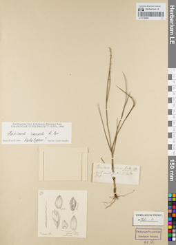
LE 01155604
Groups of specimens: Гербарий Карла Бернхарда Триниуса; Соглашение Минобрнауки №075-15-2021-1056Record creation: 2021-12-15, Denis Melnikov, PhotoScan D2Citation: Specimen LE 01155604 // Virtual herbarium of Komarov Botanical Institute RAS — http://re.herbariumle.ru/01155604
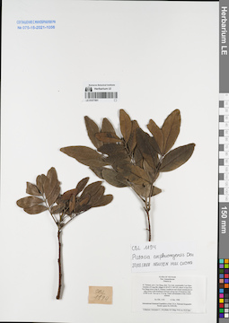
LE 01077801
Pistacia cucphuongensis T.Ð.Ðai det. Cuong, Huu Nguyen at 22.03.2018
Additional identifications: Pistacia sp. det. Averyanov, Leonid Vladimirovich at 13.12.1998 Collectors: Averyanov, Leonid Vladimirovich; et al. Field collecting number: CBL1194. Collection date: 13.12.1998. Administrative regions: VN - Tinh Cao Bang. Groups of specimens: L. V. Averyanov specimens; L. V. Averyanov herbarium; Соглашение Минобрнауки №075-15-2021-1056Original label text:FLORA OF VIETNAM
Anacardiaceae
Pistacia sp.
N. Vietnam, prov. Cao Bang, distr. Tra Linh, municipality Luu Ngoc,
vicinities of Lung Mu village (N 22°47′ E 106°18′), about 14 km from
Cao Bang town to the N. Primary coniferous and mixed semideciduous
open forest (with Pseudotsuga brevifolia) along tops of limestone ridge
at 800 m alt. Tree up to 15 m hg. Usual codominante of the 2 forest
stratum. CBL 1194 13 Dec. 1998
International Botanical Expedition of the U.S.A. National Geographic
Society (grant No 6300-98)
Collectors: Averyanov L., N.Q.Binh, N.T.Hiep, P.K.Loc, N.X.Tam.
Coordinates (geographic position): 22° 47′ N, 106° 18′ E ±1000 mRecord creation: 2021-12-15, Tatiana Maisak, PhotoScan D2. Processing status: work_status_1Citation: Specimen LE 01077801 // Virtual herbarium of Komarov Botanical Institute RAS — http://re.herbariumle.ru/01077801Anacardiaceae
Pistacia sp.
N. Vietnam, prov. Cao Bang, distr. Tra Linh, municipality Luu Ngoc,
vicinities of Lung Mu village (N 22°47′ E 106°18′), about 14 km from
Cao Bang town to the N. Primary coniferous and mixed semideciduous
open forest (with Pseudotsuga brevifolia) along tops of limestone ridge
at 800 m alt. Tree up to 15 m hg. Usual codominante of the 2 forest
stratum. CBL 1194 13 Dec. 1998
International Botanical Expedition of the U.S.A. National Geographic
Society (grant No 6300-98)
Collectors: Averyanov L., N.Q.Binh, N.T.Hiep, P.K.Loc, N.X.Tam.
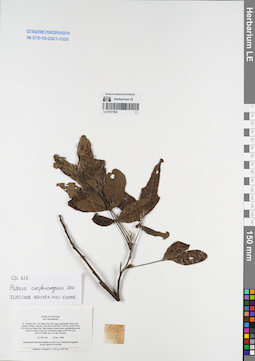
LE 01077800
Pistacia cucphuongensis T.Ð.Ðai det. Cuong, Huu Nguyen at 22.03.2018
Additional identifications: Anacardiaceae sp. det. Averyanov, Leonid Vladimirovich at 25.11.1998 Collectors: Averyanov, Leonid Vladimirovich; et al. Field collecting number: CBL626. Collection date: 25.11.1998. Administrative regions: VN - Tinh Cao Bang. Groups of specimens: L. V. Averyanov specimens; L. V. Averyanov herbarium; Соглашение Минобрнауки №075-15-2021-1056Original label text:FLORA OF VIETNAM
Anacardiaceae
N. Vietnam, prov. Cao Bang, distr. Ha Lang, municipality Dong Loan,
vicinities of Ban Lung and Lung Phuc (N 22°46′ E 106°44′), about 50 km
to E from Cao Bang town. Open primary mixed mossy semideciduous and
coniferous forest along tops of limestone ridge at 650-700 m alt.
Shrub or treelet up to 3 m hg. Common. CBL 626 25 Nov. 1998
International Botanical Expedition of the U.S.A. National Geographic
Society (grant No 6300-98)
Collectors: Averyanov L., P.K.Loc, N.X.Tam.
Coordinates (geographic position): 22° 46′ N, 106° 44′ E ±1000 mRecord creation: 2021-12-15, Tatiana Maisak, PhotoScan D2. Processing status: work_status_1Citation: Specimen LE 01077800 // Virtual herbarium of Komarov Botanical Institute RAS — http://re.herbariumle.ru/01077800Anacardiaceae
N. Vietnam, prov. Cao Bang, distr. Ha Lang, municipality Dong Loan,
vicinities of Ban Lung and Lung Phuc (N 22°46′ E 106°44′), about 50 km
to E from Cao Bang town. Open primary mixed mossy semideciduous and
coniferous forest along tops of limestone ridge at 650-700 m alt.
Shrub or treelet up to 3 m hg. Common. CBL 626 25 Nov. 1998
International Botanical Expedition of the U.S.A. National Geographic
Society (grant No 6300-98)
Collectors: Averyanov L., P.K.Loc, N.X.Tam.
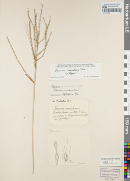
LE 01155603
Groups of specimens: Гербарий Карла Бернхарда Триниуса; Соглашение Минобрнауки №075-15-2021-1056Record creation: 2021-12-15, Denis Melnikov, PhotoScan D2Citation: Specimen LE 01155603 // Virtual herbarium of Komarov Botanical Institute RAS — http://re.herbariumle.ru/01155603
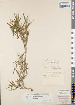
LE 01155602
Groups of specimens: Гербарий Карла Бернхарда Триниуса; Соглашение Минобрнауки №075-15-2021-1056Record creation: 2021-12-15, Denis Melnikov, PhotoScan D2Citation: Specimen LE 01155602 // Virtual herbarium of Komarov Botanical Institute RAS — http://re.herbariumle.ru/01155602
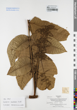
LE 01077799
Canarium subulatum Guillaumin det. Cuong, Huu Nguyen at 23.03.2018
Collectors: Phan Ke Loc; Averyanov, Leonid Vladimirovich; et al. Field collecting number: CBL1428. Collection date: 15.04.1999. Administrative regions: VN - Tinh Cao Bang. Groups of specimens: L. V. Averyanov specimens; L. V. Averyanov herbarium; Соглашение Минобрнауки №075-15-2021-1056Original label text:FLORA OF VIETNAM
Anacardiaceae
Rhus sp.
N. Vietnam, prov. Cao Bang, distr. Bao Lac, municipality Dinh Phung,
Nam Linh mt. (N 22°47′ E 105°49′). Secondary open forest on shale
alluvial foothills of remnant karst limestone Nam Linh ridges at
1350-1400 m elev. Tree about 8 m hg in open place. Flowers
yellowish-green. Not common.
CBL 1428 15 April 1999
International Botanical Expedition of the U.S.A. National Geographic
Society (grant No 6300-98)
Collectors: P.K.Loc, P.H.Hoang, Averyanov L.
Coordinates (geographic position): 22° 47′ N, 105° 49′ E ±1000 mRecord creation: 2021-12-15, Tatiana Maisak, PhotoScan D2. Processing status: work_status_1Citation: Specimen LE 01077799 // Virtual herbarium of Komarov Botanical Institute RAS — http://re.herbariumle.ru/01077799Anacardiaceae
Rhus sp.
N. Vietnam, prov. Cao Bang, distr. Bao Lac, municipality Dinh Phung,
Nam Linh mt. (N 22°47′ E 105°49′). Secondary open forest on shale
alluvial foothills of remnant karst limestone Nam Linh ridges at
1350-1400 m elev. Tree about 8 m hg in open place. Flowers
yellowish-green. Not common.
CBL 1428 15 April 1999
International Botanical Expedition of the U.S.A. National Geographic
Society (grant No 6300-98)
Collectors: P.K.Loc, P.H.Hoang, Averyanov L.
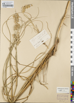
LE 01155601
Groups of specimens: Гербарий Карла Бернхарда Триниуса; Соглашение Минобрнауки №075-15-2021-1056Record creation: 2021-12-15, Denis Melnikov, PhotoScan D2Citation: Specimen LE 01155601 // Virtual herbarium of Komarov Botanical Institute RAS — http://re.herbariumle.ru/01155601
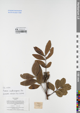
LE 01077798
Pistacia cucphuongensis T.Ð.Ðai det. Cuong, Huu Nguyen at 22.03.2018
Additional identifications: Pistacia sp. det. Averyanov, Leonid Vladimirovich at 13.12.1998 Collectors: Averyanov, Leonid Vladimirovich; et al. Field collecting number: CBL1194. Collection date: 13.12.1998. Administrative regions: VN - Tinh Cao Bang. Groups of specimens: L. V. Averyanov specimens; L. V. Averyanov herbarium; Соглашение Минобрнауки №075-15-2021-1056Original label text:FLORA OF VIETNAM
Anacardiaceae
Pistacia sp.
N. Vietnam, prov. Cao Bang, distr. Tra Linh, municipality Luu Ngoc,
vicinities of Lung Mu village (N 22°47′ E 106°18′), about 14 km from
Cao Bang town to the N. Primary coniferous and mixed semideciduous
open forest (with Pseudotsuga brevifolia) along tops of limestone ridge
at 800 m alt. Tree up to 15 m hg. Usual codominante of the 2 forest
stratum. CBL 1194, 13 Dec. 1998
International Botanical Expedition of the U.S.A. National Geographic
Society (grant No 6300-98)
Collectors: Averyanov L., N.Q.Binh, N.T.Hiep, P.K.Loc, N.X.Tam.
Coordinates (geographic position): 22° 47′ N, 106° 18′ E ±1000 mRecord creation: 2021-12-15, Tatiana Maisak, PhotoScan D2. Processing status: work_status_1Citation: Specimen LE 01077798 // Virtual herbarium of Komarov Botanical Institute RAS — http://re.herbariumle.ru/01077798Anacardiaceae
Pistacia sp.
N. Vietnam, prov. Cao Bang, distr. Tra Linh, municipality Luu Ngoc,
vicinities of Lung Mu village (N 22°47′ E 106°18′), about 14 km from
Cao Bang town to the N. Primary coniferous and mixed semideciduous
open forest (with Pseudotsuga brevifolia) along tops of limestone ridge
at 800 m alt. Tree up to 15 m hg. Usual codominante of the 2 forest
stratum. CBL 1194, 13 Dec. 1998
International Botanical Expedition of the U.S.A. National Geographic
Society (grant No 6300-98)
Collectors: Averyanov L., N.Q.Binh, N.T.Hiep, P.K.Loc, N.X.Tam.
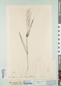
LE 01155600
Groups of specimens: Гербарий Карла Бернхарда Триниуса; Соглашение Минобрнауки №075-15-2021-1056Record creation: 2021-12-15, Denis Melnikov, PhotoScan D2Citation: Specimen LE 01155600 // Virtual herbarium of Komarov Botanical Institute RAS — http://re.herbariumle.ru/01155600
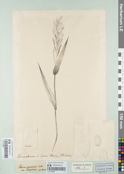
LE 01155599
Groups of specimens: Гербарий Карла Бернхарда Триниуса; Соглашение Минобрнауки №075-15-2021-1056Record creation: 2021-12-15, Denis Melnikov, PhotoScan D2Citation: Specimen LE 01155599 // Virtual herbarium of Komarov Botanical Institute RAS — http://re.herbariumle.ru/01155599
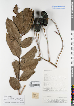
LE 01077797
Spondias pinnata (L.f.) Kurz det. Cuong, Huu Nguyen at 23.03.2018
Additional identifications: Anacardiaceae sp. det. D.K. Harder at 27.09.2000 Collectors: D.K. Harder; et al. Field collecting number: DKH5685. Collection date: 27.09.2000. Administrative regions: VN - Tinh Lai Chau. Groups of specimens: L. V. Averyanov specimens; L. V. Averyanov herbarium; Соглашение Минобрнауки №075-15-2021-1056Original label text:Vietnam
Anacardiaceae
Lai Chau Prov. Muong Lay district, Nam Hang municipality, Nam Bac village, approx. 22 rv from intersect of road to Muong Te in direction Muong Te. In disturbed roadside vegetation. 22 08'28''N 103 01'18''E 236 m
Occasional. Cultivated tree near stream in house garden; 10 m tall [ 60 cm dbh; bark grey mottled, smooth; leaves dull green, fruit green; petioles pink.
D.K.Harder, P.K.Loc, N.V.Du, DKH 5685, 27 September 2000
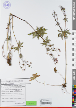
LE 01082053
Groups of specimens: Образцы сектора Сибири и Дальнего Востока России; Типовые образцы сектора Сибири и Дальнего Востока России; Соглашение Минобрнауки №075-15-2021-1056Record creation: 2021-12-15, Marina Yarichina, PhotoScan D2Citation: Specimen LE 01082053 // Virtual herbarium of Komarov Botanical Institute RAS — http://re.herbariumle.ru/01082053
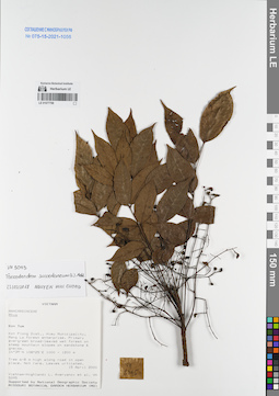
LE 01077796
Toxicodendron succedaneum (L. ) Kuntze det. Cuong, Huu Nguyen at 23.03.2018
Additional identifications: Rhus sp. det. Averyanov, Leonid Vladimirovich at 15.04.2000 Collectors: Averyanov, Leonid Vladimirovich; et al. Field collecting number: VH5095. Collection date: 15.04.2000. Administrative regions: VN - Kon Tum. Groups of specimens: L. V. Averyanov specimens; L. V. Averyanov herbarium; Соглашение Минобрнауки №075-15-2021-1056Original label text:FLORA OF VIETNAM
Anacardiaceae
Rhus sp.
S. Vietnam, Kontum Prov., Kon Plong Distr., Hieu Municipality, Mang La
forest enterprise (14°39′N, 108°25′E). Primary evergreen broad-leaved
wet forest on steep mt. slopes on sandstone & gneiss at elev.
1000-1200 m. Tree 6-8 m hg along road in open place. Not rare. Leaves
urticated. VH 5095, 15.04.2000
International Botanical Expedition of the U.S.A. National Geographic
Society (grant No 6383-98)
Collectors: L.Averyanov, P.K.Loc, P.H.Hoang, D.X.Du, N.T.Vinh
Coordinates (geographic position): 14° 39′ N, 108° 25′ E ±1000 mRecord creation: 2021-12-15, Tatiana Maisak, PhotoScan D2. Processing status: work_status_1Citation: Specimen LE 01077796 // Virtual herbarium of Komarov Botanical Institute RAS — http://re.herbariumle.ru/01077796Anacardiaceae
Rhus sp.
S. Vietnam, Kontum Prov., Kon Plong Distr., Hieu Municipality, Mang La
forest enterprise (14°39′N, 108°25′E). Primary evergreen broad-leaved
wet forest on steep mt. slopes on sandstone & gneiss at elev.
1000-1200 m. Tree 6-8 m hg along road in open place. Not rare. Leaves
urticated. VH 5095, 15.04.2000
International Botanical Expedition of the U.S.A. National Geographic
Society (grant No 6383-98)
Collectors: L.Averyanov, P.K.Loc, P.H.Hoang, D.X.Du, N.T.Vinh
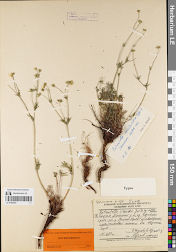
LE 01082052
Groups of specimens: Образцы сектора Сибири и Дальнего Востока России; Типовые образцы сектора Сибири и Дальнего Востока России; Соглашение Минобрнауки №075-15-2021-1056Record creation: 2021-12-15, Marina Yarichina, PhotoScan D2Citation: Specimen LE 01082052 // Virtual herbarium of Komarov Botanical Institute RAS — http://re.herbariumle.ru/01082052
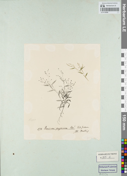
LE 01155598
Groups of specimens: Гербарий Карла Бернхарда Триниуса; Соглашение Минобрнауки №075-15-2021-1056Record creation: 2021-12-15, Denis Melnikov, PhotoScan D2Citation: Specimen LE 01155598 // Virtual herbarium of Komarov Botanical Institute RAS — http://re.herbariumle.ru/01155598