View
Add
Copy
Edit
Delete
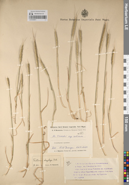
LE 01235511
Aegilops tauschii subsp. salina det. Chikida, Nadezhda Nikolaevna
Administrative regions: IR - Iran (Islamic Republic of). Groups of specimens: Образцы общего сектора; Соглашение Минобрнауки №075-15-2021-1056Record creation: 2023-05-23, Ivan Tatanov, PhotoScan D2.Citation: Specimen LE 01235511 // Virtual herbarium of Komarov Botanical Institute RAS — http://re.herbariumle.ru/01235511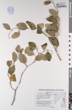
LE 01194295
Ziziphus mauritiana Lam. det. Byalt, Vyacheslav Vyacheslavovich
Additional identifications: Ziziphus jujuba L. det. Byalt, Vyacheslav Vyacheslavovich Collectors: Byalt, Vyacheslav Vyacheslavovich; Korshunov, Mikhail Vladimirovich Field collecting number: 1122. Collection date: 04.04.2018. Administrative regions: AE - United Arab Emirates. Place of collection: Фуджейра, пос. Аль Бидия, вдоль забора сада.Groups of specimens: Образцы общего сектора; Соглашение Минобрнауки №075-15-2021-1056; Бялт В.В.: Флора ФуджейрыOriginal label text: United Arab Emirates. Emirate of Fujaira, village Al Bidiyah, 25°26'13" N, 56°20'2"° Е: along fence of garden. – ОАЭ, Фуджейра, посёлок Аль Бидия, 25°26'13" N, 56°20'2"° Е: вдоль забора сада, 3–4 IV 2018, veg., V.V. Byalt, M.V. Korshunov 1122
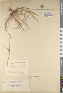
LE 01235510
Aegilops tauschii Coss. subsp. meyeri det. Chikida, Nadezhda Nikolaevna
Administrative regions: IR - Iran (Islamic Republic of). Groups of specimens: Образцы общего сектора; Соглашение Минобрнауки №075-15-2021-1056Record creation: 2023-05-23, Ivan Tatanov, PhotoScan D2.Citation: Specimen LE 01235510 // Virtual herbarium of Komarov Botanical Institute RAS — http://re.herbariumle.ru/01235510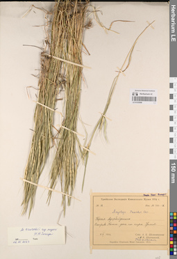
LE 01235509
Aegilops tauschii Coss. subsp. meyeri det. Chikida, Nadezhda Nikolaevna
Administrative regions: IR - Iran (Islamic Republic of). Groups of specimens: Образцы общего сектора; Соглашение Минобрнауки №075-15-2021-1056Record creation: 2023-05-23, Ivan Tatanov, PhotoScan D2.Citation: Specimen LE 01235509 // Virtual herbarium of Komarov Botanical Institute RAS — http://re.herbariumle.ru/01235509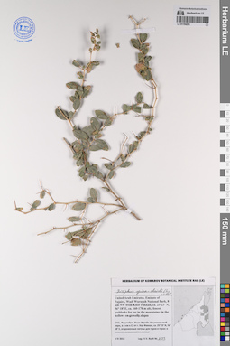
LE 01194294
Ziziphus spina-christi (L.) Willd. det. Byalt, Vyacheslav Vyacheslavovich
Collectors: Byalt, Vyacheslav Vyacheslavovich Field collecting number: 1123. Collection date: 03.04.2018. Administrative regions: AE - United Arab Emirates. Place of collection: Фуджейра, Вади Вурайа Национальный парк, в 8 км северо-западнее г. Хор Факкан, огороженные загоны для таров в горах: в низине.Groups of specimens: Образцы общего сектора; Соглашение Минобрнауки №075-15-2021-1056; Бялт В.В.: Флора ФуджейрыOriginal label text: United Arab Emirates. Emirate of Fujaira, Wadi Wurayah National Park, 8 km NW from Khor Fakkan, ca. 25°23’ N, 56° 18’ E, ca. 160-170 m alt., fenced paddocks for tar in the mountains: in the hollow.– ОАЭ, Фуджейра, Вади Вурайа Национальный парк, в 8 км к СЗ от г. Хор Факкан, ca. 25°23’ N, 56° 18’ E, огороженные загоны для таров в горах: в низине, 3 IV 2018, V.V. Byalt 1123
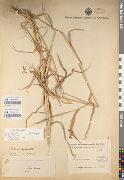
LE 01235507
Aegilops tauschii ssp. tauschii det. Chikida, Nadezhda Nikolaevna
Administrative regions: IR - Iran (Islamic Republic of). Groups of specimens: Образцы общего сектора; Соглашение Минобрнауки №075-15-2021-1056Record creation: 2023-05-23, Ivan Tatanov, PhotoScan D2.Citation: Specimen LE 01235507 // Virtual herbarium of Komarov Botanical Institute RAS — http://re.herbariumle.ru/01235507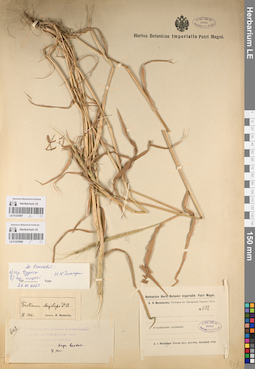
LE 01235508
Aegilops tauschii Coss. subsp. meyeri det. Chikida, Nadezhda Nikolaevna
Administrative regions: IR - Iran (Islamic Republic of). Groups of specimens: Образцы общего сектора; Соглашение Минобрнауки №075-15-2021-1056Record creation: 2023-05-23, Ivan Tatanov, PhotoScan D2.Citation: Specimen LE 01235508 // Virtual herbarium of Komarov Botanical Institute RAS — http://re.herbariumle.ru/01235508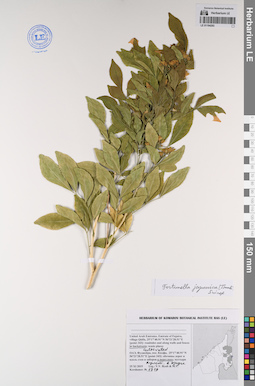
LE 01194293
Fortunella japonica (Thunb.) Swingle det. Byalt, Vyacheslav Vyacheslavovich
Collectors: Byalt, Vyacheslav Vyacheslavovich; Korshunov, Mikhail Vladimirovich Field collecting number: 1719. Collection date: 25.11.2019. Administrative regions: AE - United Arab Emirates. Place of collection: Фуджейра, пос. Кидфа [point 343]: культивируется в поливном круге в переулке.Groups of specimens: Образцы общего сектора; Соглашение Минобрнауки №075-15-2021-1056; Бялт В.В.: Флора ФуджейрыOriginal label text: United Arab Emirates. Emirate of Fujaira, village Qidfa, 25°17'40.91"N 56°21'28.51"E [point 343]: cultivated on roadside near wall in backstreet. – ОАЭ, Фуджейра, пос. Кидфа, 25°17'40.91"N 56°21'28.51"E [point 343]: культивируется в поливном круге в переулке, 25 XI 2019, fl., V.V. Byalt & M.V. Korshunov 1719
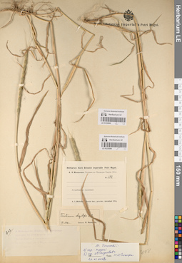
LE 01235505
Aegilops tauschii Coss. subsp. meyeri det. Chikida, Nadezhda Nikolaevna
Administrative regions: IR - Iran (Islamic Republic of). Groups of specimens: Образцы общего сектора; Соглашение Минобрнауки №075-15-2021-1056Record creation: 2023-05-23, Ivan Tatanov, PhotoScan D2.Citation: Specimen LE 01235505 // Virtual herbarium of Komarov Botanical Institute RAS — http://re.herbariumle.ru/01235505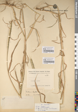
LE 01235506
Aegilops tauschii ssp. strangulata (Eig) Tzvelev det. Chikida, Nadezhda Nikolaevna
Administrative regions: IR - Iran (Islamic Republic of). Groups of specimens: Образцы общего сектора; Соглашение Минобрнауки №075-15-2021-1056Record creation: 2023-05-23, Ivan Tatanov, PhotoScan D2.Citation: Specimen LE 01235506 // Virtual herbarium of Komarov Botanical Institute RAS — http://re.herbariumle.ru/01235506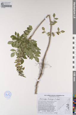
LE 01194292
Murraya koenigii (L.) Spreng. det. Byalt, Vyacheslav Vyacheslavovich
Collectors: Byalt, Vyacheslav Vyacheslavovich; Korshunov, Mikhail Vladimirovich Field collecting number: 3547. Collection date: 13.06.2020. Administrative regions: AE - United Arab Emirates. Place of collection: Fujarah Emirate, Al Dibba town, Alamarey Nursery, 0.5 km South from Khalid Hadi Resort Dibba [point 797]: run wild on irrigation under date palm.Groups of specimens: Образцы общего сектора; Соглашение Минобрнауки №075-15-2021-1056; Бялт В.В.: Флора ФуджейрыOriginal label text: United Arab Emirates, Fujarah Emirate, Al Dibba town, Alamarey Nursery, 0.5 km South from Khalid Hadi Resort Dibba. 25°34'33.97"N, 56°14'6.15"E, Elevation 45 m [point 797]: run wild on irrigation under date palm, 13 VI 2020, fl., fr., V.V. Byalt, M.V. Korshunov 3547
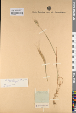
LE 01235504
Aegilops tauschii ssp. strangulata (Eig) Tzvelev det. Chikida, Nadezhda Nikolaevna
Administrative regions: IR - Iran (Islamic Republic of). Groups of specimens: Образцы общего сектора; Соглашение Минобрнауки №075-15-2021-1056Record creation: 2023-05-23, Ivan Tatanov, PhotoScan D2.Citation: Specimen LE 01235504 // Virtual herbarium of Komarov Botanical Institute RAS — http://re.herbariumle.ru/01235504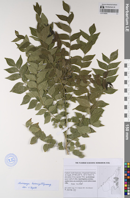
LE 01194291
Murraya koenigii (L.) Spreng. det. Byalt, Vyacheslav Vyacheslavovich
Collectors: Byalt, Vyacheslav Vyacheslavovich; Korshunov, Mikhail Vladimirovich Field collecting number: 3306 (2). Collection date: 26.05.2020. Administrative regions: AE - United Arab Emirates. Place of collection: Fujairah Emirate, Al Aqah [point 792]: near wall of villa, run wild.Groups of specimens: Образцы общего сектора; Соглашение Минобрнауки №075-15-2021-1056; Бялт В.В.: Флора ФуджейрыOriginal label text: United Arab Emirates, Fujairah Emirate, Al Aqah, 25°30'6.28"N, 56°21'30.01"E, elevation 14 m. [point 792]: in near wall of villa, run wild, 26 V 2020, veg., V.V. Byalt, M.V. Korshunov 3306 (2)
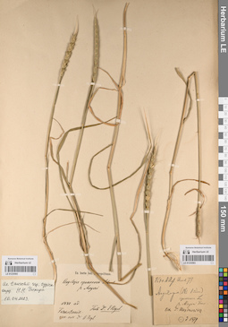
LE 01235503
Aegilops tauschii ssp. tauschii det. Chikida, Nadezhda Nikolaevna
Groups of specimens: Образцы общего сектора; Соглашение Минобрнауки №075-15-2021-1056Record creation: 2023-05-23, Ivan Tatanov, PhotoScan D2.Citation: Specimen LE 01235503 // Virtual herbarium of Komarov Botanical Institute RAS — http://re.herbariumle.ru/01235503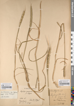
LE 01235502
Aegilops tauschii ssp. tauschii det. Chikida, Nadezhda Nikolaevna
Groups of specimens: Образцы общего сектора; Соглашение Минобрнауки №075-15-2021-1056Record creation: 2023-05-23, Ivan Tatanov, PhotoScan D2.Citation: Specimen LE 01235502 // Virtual herbarium of Komarov Botanical Institute RAS — http://re.herbariumle.ru/01235502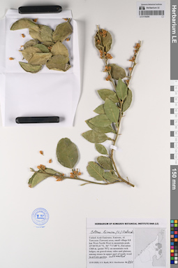
LE 01194290
Citrus × limon (L.) Osbeck det. Byalt, Vyacheslav Vyacheslavovich
Collectors: Byalt, Vyacheslav Vyacheslavovich; Korshunov, Mikhail Vladimirovich Field collecting number: 461. Collection date: 13.03.2020. Administrative regions: AE - United Arab Emirates. Place of collection: Fujairah Emirate, Al Tawyeen (Taween) area, small village 0.8 km West-North-West to mountain peak [point 707]: cultivated in private garden.Groups of specimens: Образцы общего сектора; Соглашение Минобрнауки №075-15-2021-1056; Бялт В.В.: Флора ФуджейрыOriginal label text: United Arab Emirates, Fujairah Emirate, Al Tawyeen (Taween) area, small village 0.8 km West-North-West to mountain peak. 25°38'59.41"N, 56° 7'17.88"E, elevation 1360 m. [point 707]: cultivated in private garden, 13 III 2020, fl., V.V. Byalt, M.V. Korshunov 461
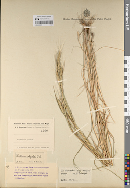
LE 01235501
Aegilops tauschii Coss. subsp. meyeri det. Chikida, Nadezhda Nikolaevna
Administrative regions: IR - Iran (Islamic Republic of). Groups of specimens: Образцы общего сектора; Соглашение Минобрнауки №075-15-2021-1056Record creation: 2023-05-23, Ivan Tatanov, PhotoScan D2.Citation: Specimen LE 01235501 // Virtual herbarium of Komarov Botanical Institute RAS — http://re.herbariumle.ru/01235501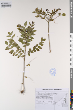
LE 01194289
Murraya koenigii (L.) Spreng. det. Byalt, Vyacheslav Vyacheslavovich
Additional identifications: Bergia koenigii L. det. Byalt, Vyacheslav Vyacheslavovich Collectors: Byalt, Vyacheslav Vyacheslavovich; Korshunov, Mikhail Vladimirovich Field collecting number: 1405. Collection date: 30.03.2020. Administrative regions: AE - United Arab Emirates. Place of collection: Fujairah Emirate, village Bithna, Bithna Fort [point 725]: weed in garden close to the fort wall (cultivated and selfseeding).Groups of specimens: Образцы общего сектора; Соглашение Минобрнауки №075-15-2021-1056; Бялт В.В.: Флора ФуджейрыOriginal label text: United Arab Emirates, Fujairah Emirate, village Bithna, Bithna Fort. 25°11'13.38"N, 56°14'17.34"E, elevation 172 m. [point 725]: weed in garden close the fort wall (cultivated and selfseeding), 30 III 2020, V.V. Byalt, M.V. Korshunov 1405
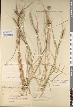
LE 01235500
Aegilops tauschii ssp. tauschii det. Chikida, Nadezhda Nikolaevna
Administrative regions: IR - Iran (Islamic Republic of). Groups of specimens: Образцы общего сектора; Соглашение Минобрнауки №075-15-2021-1056Record creation: 2023-05-23, Ivan Tatanov, PhotoScan D2.Citation: Specimen LE 01235500 // Virtual herbarium of Komarov Botanical Institute RAS — http://re.herbariumle.ru/01235500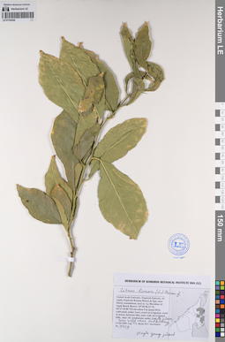
LE 01194288
Citrus limon (L.) Burm.f. det. Byalt, Vyacheslav Vyacheslavovich
Collectors: Byalt, Vyacheslav Vyacheslavovich; Korshunov, Mikhail Vladimirovich Field collecting number: 4429. Collection date: 04.08.2020. Administrative regions: AE - United Arab Emirates. Place of collection: Fujairah Emirate, Al Aqah, Fujairah Rotana Resort & Spa, near Shark roundabout, next to Le Meridien Al Aqah Beach Resort [point 813]: run wild on wasteland near hotel outbuildings.Groups of specimens: Образцы общего сектора; Соглашение Минобрнауки №075-15-2021-1056; Бялт В.В.: Флора ФуджейрыOriginal label text: United Arab Emirates, Fujairah Emirate, Al Aqah, Fujairah Rotana Resort & Spa, near Shark roundabout, next to Le Meridien Al Aqah Beach Resort. 25°30'30.31"N, 56°21'45.86"E, elevation 5 m [point 813]: wun wild on wasteland near hotel outbuildings, 4 VIII 2020, veg., V.V. Byalt, M.V. Korshunov 4429
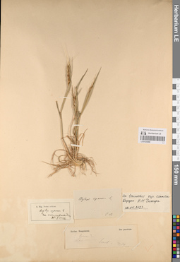
LE 01235499
Aegilops tauschii ssp. iranica det. Chikida, Nadezhda Nikolaevna at 10.04.2023
Additional identifications: Aegilops squarrosa var. astrabadica Eig det. Eig, A. at 15.10.1927; Aegilops squarrosa L. det. Boissier, Pierre Edmond Collectors: Bunge, Alexander Andrejewitsch von Administrative regions: IR - Iran (Islamic Republic of). Groups of specimens: Образцы общего сектора; Соглашение Минобрнауки №075-15-2021-1056Original label text:Herbar. Bungeanum. Iter persicum.
Record creation: 2023-05-23, Ivan Tatanov, PhotoScan D2.Citation: Specimen LE 01235499 // Virtual herbarium of Komarov Botanical Institute RAS — http://re.herbariumle.ru/01235499Gram. 3 |
Siaret |
Tr[iticum] aegilops
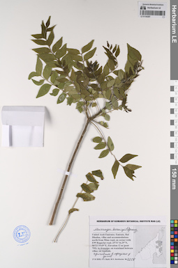
LE 01194287
Murraya koenigii (L.) Spreng. det. Byalt, Vyacheslav Vyacheslavovich
Collectors: Byalt, Vyacheslav Vyacheslavovich; Korshunov, Mikhail Vladimirovich Field collecting number: 2228. Collection date: 17.04.2020. Administrative regions: AE - United Arab Emirates. Place of collection: Fujairah Emirate, Rul Dhadna, villas and accommodations north from Mina road, on corner with E99 Rugaylat road. 25°31'16.29"N, 56°21'19.69"E, elevation 12 m [pont 755]: run wild in dranaige of villa in backstage, одичавшее в переулке возле домов.Groups of specimens: Образцы общего сектора; Соглашение Минобрнауки №075-15-2021-1056; Бялт В.В.: Флора ФуджейрыOriginal label text: United Arab Emirates. Fujairah Emirate, Rul Dhadna, villas and accommodations north from Mina road, on corner with E99 Rugaylat road. 25°31'16.29"N, 56°21'19.69"E, elevation 12 m [pont 755]: run wild in dranaige of villa in backstage, одичавшее в переулке возле домов, 17 IV 2020, veg., V.V. Byalt, M.V. Korshunov 2228
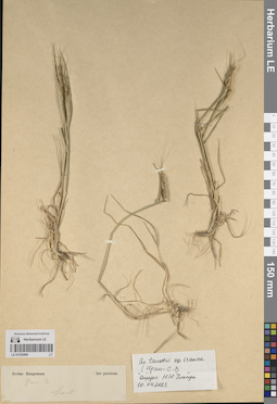
LE 01235498
Aegilops tauschii ssp. iranica det. Chikida, Nadezhda Nikolaevna at 10.04.2023
Collectors: Chikida, Nadezhda Nikolaevna Collection date: 10.04.2023. Administrative regions: IR - Iran (Islamic Republic of). Groups of specimens: Образцы общего сектора; Соглашение Минобрнауки №075-15-2021-1056; Herbar. Bungeanum. Iter persicum.Original label text:Herbar. Bungeanum. Iter persicum. |
Gram 3. |
Record creation: 2023-05-23, Ivan Tatanov, PhotoScan D2.Citation: Specimen LE 01235498 // Virtual herbarium of Komarov Botanical Institute RAS — http://re.herbariumle.ru/01235498Gram 3. |
Siaret.
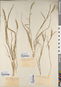
LE 01235496
Aegilops tauschii ssp. iranica det. Chikida, Nadezhda Nikolaevna at 10.04.2023
Additional identifications: Aegilops squarrosa L.; Aegilops speltoides Tausch Groups of specimens: Образцы общего сектора; Соглашение Минобрнауки №075-15-2021-1056Original label text:Aegilops squarrosa L. & Schreb.
Record creation: 2023-05-23, Ivan Tatanov, PhotoScan D2.Citation: Specimen LE 01235496 // Virtual herbarium of Komarov Botanical Institute RAS — http://re.herbariumle.ru/01235496speltoides
m. h Regel, 24a
Mild... !
4 Iюня 1851
m. h Regel, 24a
Mild... !
4 Iюня 1851
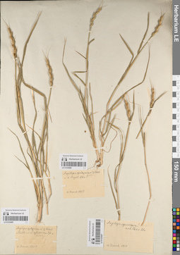
LE 01235495
Aegilops tauschii ssp. iranica det. Chikida, Nadezhda Nikolaevna at 10.04.2023
Additional identifications: Aegilops squarrosa L.; Aegilops speltoides Tausch Groups of specimens: Образцы общего сектора; Соглашение Минобрнауки №075-15-2021-1056Original label text:Aegilops squarrosa L. & Schreb. |
m Pesth. s. n. A. cylindricae 26a |
speltoides |
4 Iюня 1851
Record creation: 2023-05-23, Ivan Tatanov, PhotoScan D2.Citation: Specimen LE 01235495 // Virtual herbarium of Komarov Botanical Institute RAS — http://re.herbariumle.ru/01235495m Pesth. s. n. A. cylindricae 26a |
speltoides |
4 Iюня 1851
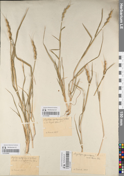
LE 01235497
Aegilops tauschii ssp. iranica det. Chikida, Nadezhda Nikolaevna at 10.04.2023
Additional identifications: Aegilops squarrosa L.; Aegilops speltoides Tausch Groups of specimens: Образцы общего сектора; Соглашение Минобрнауки №075-15-2021-1056Original label text:Aegilops squarrosa ! = speltoides!
exh. Paris 21a
4 Iюня 1851
Record creation: 2023-05-23, Ivan Tatanov, PhotoScan D2.Citation: Specimen LE 01235497 // Virtual herbarium of Komarov Botanical Institute RAS — http://re.herbariumle.ru/01235497exh. Paris 21a
4 Iюня 1851
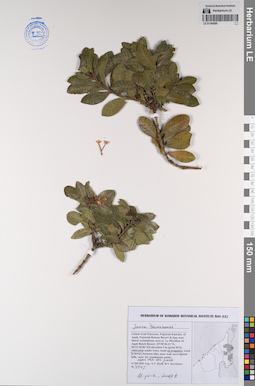
LE 01194286
Ixora 'taiwanensis' det. Byalt, Vyacheslav Vyacheslavovich
Collectors: Byalt, Vyacheslav Vyacheslavovich; Korshunov, Mikhail Vladimirovich Field collecting number: 4445. Collection date: 04.08.2020. Administrative regions: AE - United Arab Emirates. Place of collection: Fujairah Emirate, Al Aqah, Fujairah Rotana Resort & Spa, near Shark roundabout, next to Le Meridien Al Aqah Beach Resort [point 813]: cultivated on irrigation, near car park[ing?].Groups of specimens: Образцы общего сектора; Соглашение Минобрнауки №075-15-2021-1056; Бялт В.В.: Флора ФуджейрыOriginal label text: United Arab Emirates, Fujairah Emirate, Al Aqah, Fujairah Rotana Resort & Spa, near Shark roundabout, next to Le Meridien Al Aqah Beach Resort. 25°30'30.31"N, 56°21'45.86"E, elevation 5 m [point 813]: cultivated on irrigation, near car park, 4 VIII 2020, V.V. Byalt, M.V. Korshunov
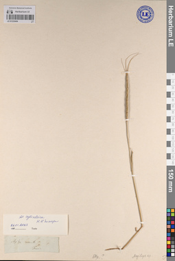
LE 01235494
Aegilops cylindrica Host det. Chikida, Nadezhda Nikolaevna at 26.01.2023
Administrative regions: UA - Republic of Crimea. Groups of specimens: Образцы сектора Восточной Европы; Соглашение Минобрнауки №075-15-2021-1056Record creation: 2023-05-23, Ivan Tatanov, PhotoScan D2.Citation: Specimen LE 01235494 // Virtual herbarium of Komarov Botanical Institute RAS — http://re.herbariumle.ru/01235494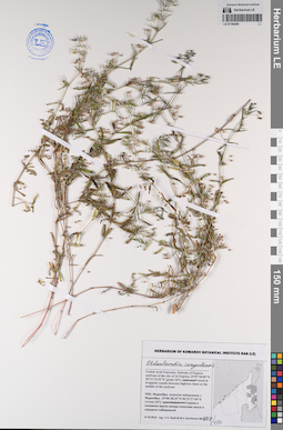
LE 01194285
Oldenlandia corymbosa L. det. Byalt, Vyacheslav Vyacheslavovich
Collectors: Byalt, Vyacheslav Vyacheslavovich; Korshunov, Mikhail Vladimirovich Field collecting number: 1808/456. Collection date: 27.11.2019. Administrative regions: AE - United Arab Emirates. Place of collection: Фуджейра, морская набережная г. Фуджейра [точка 347]: сорное в поливных кругах между полосами шоссе в середине набережной.Groups of specimens: Образцы общего сектора; Соглашение Минобрнауки №075-15-2021-1056; Бялт В.В.: Флора ФуджейрыOriginal label text: United Arab Emirates. Emirate of Fujaira, seafront of the city of Al Fujeira, 25°07'18.09"N 56°21'22.92"E [point 347]: weed in irrigated rounds between highway lanes at the middle of the seefront. – ОАЭ, Фуджейра, морская набережная г. Фуджейра, 25°06'38.35"N 56°21'27.04"E [точка 347]: сорняк в поливных кругах между полосами шоссе в середине набережной. 27 XI 2019, fl., fr., V.V. Byalt & M.V. Korshunov 1808/456
LE 01230674
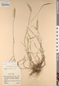
Aegilops tauschii ssp. iranica det. Chikida, Nadezhda Nikolaevna at 11.04.2023
Additional identifications: Aegilops tauschii Coss. Collectors: Furse P. Field collecting number: 7131. Collection date: 08.05.1966. Administrative regions: IR - Iran (Islamic Republic of). Groups of specimens: Образцы общего сектора; Соглашение Минобрнауки №075-15-2021-1056Original label text:Flora of Persia
Record creation: 2023-05-23, Ivan Tatanov, PhotoScan D2.Citation: Specimen LE 01230674 // Virtual herbarium of Komarov Botanical Institute RAS — http://re.herbariumle.ru/01230674Dunes on Caspian shore N. of Sari. Level
sand inland of low dunes w. scattered pomegranites & main growth of plantains.
S.L. alt.
A primitive grain w. awns only at tip of ear.
Scarce.
P. Furse 7131 8.5.1966
LE 01194284
Oldenlandia corymbosa Aiton det. Byalt, Vyacheslav Vyacheslavovich
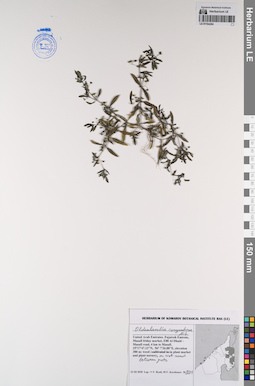
Collectors: Byalt, Vyacheslav Vyacheslavovich; Korshunov, Mikhail Vladimirovich Field collecting number: 991. Collection date: 23.03.2020. Administrative regions: AE - United Arab Emirates. Place of collection: Fujairah Emirate, Masafi friday market, E88 Al Dhaid – Masafi road, 4 km to Masafi, weed in plant market and plant nursery, between pots on wet sand.Groups of specimens: Образцы общего сектора; Соглашение Минобрнауки №075-15-2021-1056; Бялт В.В.: Флора ФуджейрыOriginal label text: United Arab Emirates, Fujairah Emirate, Masafi friday market, E88 Al Dhaid – Masafi road, 4 km to Masafi. 25°17'47.12"N, 56° 7'26.88"E, elevation 380 m: weed in plant market and plant nursery, between pots on wet sand, 23 III 2020, fl., fr., V.V. Byalt, M.V. Korshunov 991
LE 01230670
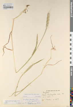
Aegilops tauschii ssp. iranica det. Chikida, Nadezhda Nikolaevna at 11.04.2023
Additional identifications: Aegilops tauschii Coss. det. van Slageren, Michiel Wilhelmus Seerp Joannes Maria at 07.1991 Collectors: Merlon, L. F. Field collecting number: 3457. Collection date: 27.05.1958. Administrative regions: IR - Iran (Islamic Republic of). Groups of specimens: Образцы общего сектора; Соглашение Минобрнауки №075-15-2021-1056Original label text:Aegilops
Apar - [...] road, Iran27.5.1958
L.F. Merlon № 3457
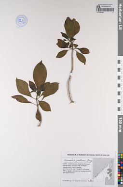
LE 01194283
Hamelia patens Jacq. det. Byalt, Vyacheslav Vyacheslavovich
Collectors: Byalt, Vyacheslav Vyacheslavovich; Korshunov, Mikhail Vladimirovich Field collecting number: 992. Collection date: 23.03.2020. Administrative regions: AE - United Arab Emirates. Place of collection: Fujairah Emirate, Masafi friday market, E88 Al Dhaid – Masafi road, 4 km to Masafi, cultivated in plant market and plant nursery.Groups of specimens: Образцы общего сектора; Соглашение Минобрнауки №075-15-2021-1056; Бялт В.В.: Флора ФуджейрыOriginal label text: United Arab Emirates, Fujairah Emirate, Masafi friday market, E88 Al Dhaid – Masafi road, 4 km to Masafi. 25°17'47.12"N, 56°7'26.88"E, elevation 380 m: cultivated in plant market and plant nursery, 23 III 2020, fl., V.V. Byalt, M.V. Korshunov 992
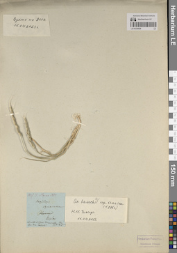
LE 01230529
Aegilops tauschii ssp. iranica det. Chikida, Nadezhda Nikolaevna at 11.04.2023
Additional identifications: Aegilops squarrosa L. Administrative regions: RU - Dagestan. Groups of specimens: Образцы общего сектора; Соглашение Минобрнауки №075-15-2021-1056Original label text:Mis. D. Steven 1835 |
Coordinates (geographic position): 43° 51′ 0.36″ N, 46° 43′ 1.2″ ERecord creation: 2023-05-23, Ivan Tatanov, PhotoScan D2.Citation: Specimen LE 01230529 // Virtual herbarium of Komarov Botanical Institute RAS — http://re.herbariumle.ru/01230529Aegilops |
squarrosa |
Iberia |
Kislar |
[...] |
[...] Aeg. caudata? | Hb. Meyer
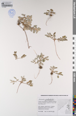
LE 01194282
Neurada procumbens L. det. Byalt, Vyacheslav Vyacheslavovich
Collectors: Byalt, Vyacheslav Vyacheslavovich Field collecting number: 174. Collection date: 24.03.2017. Administrative regions: AE - United Arab Emirates. Place of collection: Шаржа, окрестности г. Шаржа: барханные пески в 2–3 км юго-восточнее Шаржинского зоопарка.Groups of specimens: Образцы общего сектора; Соглашение Минобрнауки №075-15-2021-1056; Бялт В.В.: Флора ФуджейрыOriginal label text: United Arab Emirates. Emirate of Sharja, environs of Sharja, sands in 2–3 km to SE from Sharja zoo.– ОАЭ, Шаржа, окрестности г. Шаржа: барханные пески в 2–3 км к ЮВ от Шаржинского зоопарка, 24 III 2017, V.V. Byalt 174
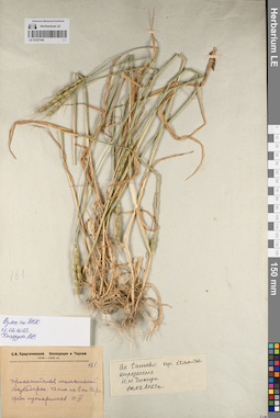
LE 01227345
Aegilops tauschii ssp. iranica det. Chikida, Nadezhda Nikolaevna at 10.04.2023
Collectors: Predtechensky S.A. Field collecting number: 161. Administrative regions: IR - Iran (Islamic Republic of). Expedition: С.А. Предтеченский. Экспедиция в Персию. (1930 -1931)Groups of specimens: Образцы общего сектора; Соглашение Минобрнауки №075-15-2021-1056Original label text:[№] 161
Record creation: 2023-05-23, Ivan Tatanov, PhotoScan D2.Citation: Specimen LE 01227345 // Virtual herbarium of Komarov Botanical Institute RAS — http://re.herbariumle.ru/01227345Прикаспийская низменность, Мазандеран: в 42 км на E от Сари, среди кустарников, 11 VI
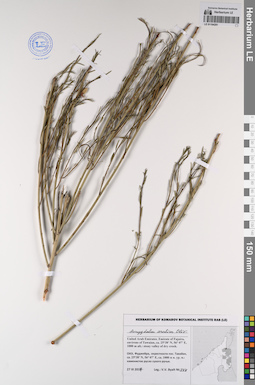
LE 01194281
Amygdalus arabica Olivier det. Byalt, Vyacheslav Vyacheslavovich
Collectors: Byalt, Vyacheslav Vyacheslavovich Field collecting number: 344. Collection date: 27.03.2017. Administrative regions: AE - United Arab Emirates. Place of collection: Фуджейра, окрестности пос. Тавайан, каменистое русло сухого ручья.Groups of specimens: Образцы общего сектора; Соглашение Минобрнауки №075-15-2021-1056; Бялт В.В.: Флора ФуджейрыOriginal label text: United Arab Emirates. Emirate of Fujaira, environs of Tawaian, ca. 25°38’ N, 56° 07’ E, 1000 m alt.: bank of pond with water.– ОАЭ, Фуджейра, окрестности пос. Тавайан, ca. 25°38’ N, 56° 07’ E, ca. 1000 м н. ур. м.: каменистое русло сухого ручья, 27 III 2017, V.V. Byalt 344
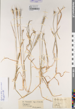
LE 01227344
Aegilops tauschii ssp. iranica det. Chikida, Nadezhda Nikolaevna at 10.04.2023
Additional identifications: Aegilops squarrosa L. det. Karelin, Grigorij Silyc Collectors: Karelin, Grigorij Silyc Collection date: 1836. Administrative regions: IR - Iran (Islamic Republic of). Groups of specimens: Образцы общего сектора; Соглашение Минобрнауки №075-15-2021-1056Original label text:Aegilops squarrosa |
Coordinates (geographic position): 36° 49′ 47.64″ N, 54° 28′ 48.72″ ERecord creation: 2023-05-23, Ivan Tatanov, PhotoScan D2.Citation: Specimen LE 01227344 // Virtual herbarium of Komarov Botanical Institute RAS — http://re.herbariumle.ru/01227344Persia |
Astrabad |
G. S. Karelin, 1836
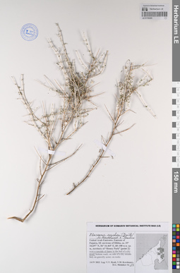
LE 01194280
Plocama aucheri (Guill.) M.Backlund & Thulin det. Byalt, Vyacheslav Vyacheslavovich
Collectors: Byalt, Vyacheslav Vyacheslavovich; Korshunov, Vladimir Mikhailovich; Melnikov, Denis Germanovich Field collecting number: 53. Collection date: 14.04.2022. Administrative regions: AE - United Arab Emirates. Place of collection: Emirate of Fujaira, SE environs of Dibba [point 2]: over a cascade of dams in the bed of a dry pond.Groups of specimens: Образцы общего сектора; Соглашение Минобрнауки №075-15-2021-1056; Бялт В.В.: Флора ФуджейрыOriginal label text: United Arab Emirates. Emirate of Fujaira, SE environs of Dibba, ca. 25° 34.697' N, 56° 16.465' E, 60–100 м н. ур. м., territory of “Honey Park” [point 2]: over a cascade of dams in the bed of a dry pond, 14 IV 2022, fr., V.V. Byalt, V.M. Korshunov, D.G. Melnikov 53
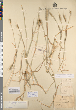
LE 01227343
Aegilops tauschii ssp. iranica det. Chikida, Nadezhda Nikolaevna at 26.01.2023
Additional identifications: Aegilops squarrosa L.; Aegilops squarrosa var. strangulata Eig det. Eig, A. at 15.09.1927 Administrative regions: IR - Iran (Islamic Republic of). Groups of specimens: Образцы общего сектора; Соглашение Минобрнауки №075-15-2021-1056Original label text:1) Herb. Fischer |
[G. S. Karelin:] Aegilops squarrosa L.
2) Herb. Fischer |
[N. S. Turczaninow:] Aegilops squarrosa
Kирв [Кирилов] |
[N. S. Turczaninow:] Astrabad
№ 14
Herb. Fischer |
[F. E. L. von Fischer:] Берег Астрабад[ского] залива
Zabl[...]
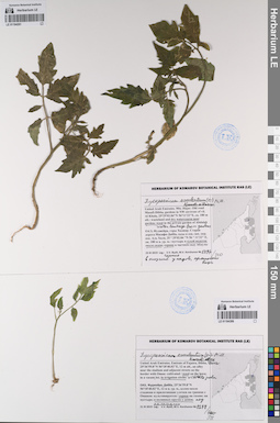
LE 01194261
Lycopersicon esculentum Mill. det. Byalt, Vyacheslav Vyacheslavovich
Collectors: Byalt, Vyacheslav Vyacheslavovich; Korshunov, Mikhail Vladimirovich Field collecting number: 1467/210. Collection date: 23.11.2019. Administrative regions: AE - United Arab Emirates. Place of collection: Фуджейра, горы Хаджар. Старая дорога Масафи-Дибба, сады в северо-западной окрестности пос. Аль Хала, сухой водоток около садов, сорное на протечке воды из садов в низине.Groups of specimens: Образцы общего сектора; Соглашение Минобрнауки №075-15-2021-1056; Бялт В.В.: Флора ФуджейрыOriginal label text: United Arab Emirates. Mts. Hajar. Old road Masafi-Dibba, gardens in NW environs of vil. Al Khala, 25°29'02.84"N 56°11'22"E, ca. 180 m alt.: in dry watercourse near garden,in place with water leakage from gardens. – ОАЭ, Фуджейра, горы Хаджар. Старая дорога Масафи-Дибба, сады в сев.-зап. окр. пос. Аль Хала, 25 ° 29'02.84 "N 56 ° 11'22" E, ок. 180 м н. ур. м.: сухой водоток около садов, сорняк на протечке воды из садов в низине. 23 XI 2019, veg., V.V. Byalt, M.V. Korshunov 1497/210
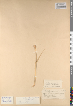
LE 01227342
Aegilops tauschii ssp. iranica det. Chikida, Nadezhda Nikolaevna at 26.01.2023
Additional identifications: Aegilops squarrosa L. det. Reineke-Chernyakovskaya, Ekaterina Georgievna, Roshevitz, Roman Julievich Collectors: Reineke-Chernyakovskaya, Ekaterina Georgievna Field collecting number: 40. Collection date: 14.08.1927. Administrative regions: IR - Iran (Islamic Republic of). Groups of specimens: Образцы общего сектора; Соглашение Минобрнауки №075-15-2021-1056Original label text:Aegilops squarrosa L. № 40
Record creation: 2023-05-23, Ivan Tatanov, PhotoScan D2.Citation: Specimen LE 01227342 // Virtual herbarium of Komarov Botanical Institute RAS — http://re.herbariumle.ru/01227342Персия, Астрабадское побережье Каспия, ... луга береговой полосы бл. Ашрефа, 14 VIII 1927, Е. Черняковская
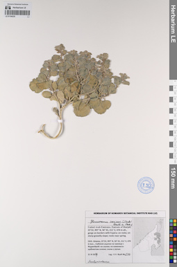
LE 01194235
Glossonema varians (Stocks) Benth. ex Hook.f. det. Byalt, Vyacheslav Vyacheslavovich
Collectors: Byalt, Vyacheslav Vyacheslavovich Field collecting number: 516. Collection date: 31.03.2017. Administrative regions: AE - United Arab Emirates. Place of collection: Шаржа, глубокое ущелье на границе с Фуджейрой: на скалах; на каменисто-щебнистом склоне; скалы у ручья.Groups of specimens: Образцы общего сектора; Соглашение Минобрнауки №075-15-2021-1056; Бялт В.В.: Флора ФуджейрыOriginal label text: United Arab Emirates. Emirate of Sharjah, 25°22, 997’ N, 56° 01, 211’ E, 470 m alt., gorge on borders with Fujaira: on rocks; on stony-gravelly slope; rocks near spring.– ОАЭ, Шаржа, 25°22, 997’ N, 56° 01, 211’ E, 470 м выс., глубокое ущелье на границе с Фуджейрой: на скалах; на каменисто-щебнистом склоне; скалы у ручья, 31 III 2017, V.V. Byalt 516
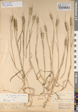
LE 01227341
Aegilops tauschii ssp. iranica det. Chikida, Nadezhda Nikolaevna at 26.01.2023
Additional identifications: Aegilops squarrosa L. det. Eig, A. Field collecting number: 252. Administrative regions: IR - Iran (Islamic Republic of). Groups of specimens: Образцы общего сектора; Соглашение Минобрнауки №075-15-2021-1056Original label text:[F. E. L. von Fischer:] [№] 252. Побер[ежье] Астрабад[ского] залива
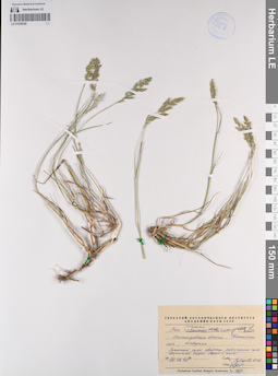
LE 01238320
Poa compressa L. det. Tzvelev, Nikolai Nikolaievich at 26.06.1992
Additional identifications: Poa sp. ⟮prelim. ID⟯ ⟨Poaceae⟩ det. Gubareva, Irina Yurievna at 26.06.1992; Poa chaixii Vill. ⟮prelim. ID⟯ ⟨Poaceae⟩ det. Gubareva, Irina Yurievna at 26.06.1992 Collectors: Gubareva, Irina Yurievna Collection date: 26.06.1992. Administrative regions: RU - Kaliningradskaya Oblast' - Gorod Baltiysk. Subregion: город Балтийск. Топоним: Балтийская коса, город Балтийск, Калининградская область. Place of collection: 10 квартал.Groups of specimens: Образцы сектора Восточной Европы; Соглашение Минобрнауки №075-15-2021-1056; Гербарий Ботанического Института Академии наук СССРOriginal label text:Калининградская область, Балтийская коса, 10 квартал Защитный склон авандюны, разъезженная часть квартальной дороги (выход к морю)
Landscape in location of collection: широколиственные лесаHabitat / plant community in location of collecting: защитный склон авандюны, разъезженная часть квартальной дороги (выход к морю)Record creation: 2023-05-19, Artyom Borodushkin, PhotoScan D2.Citation: Specimen LE 01238320 // Virtual herbarium of Komarov Botanical Institute RAS — http://re.herbariumle.ru/01238320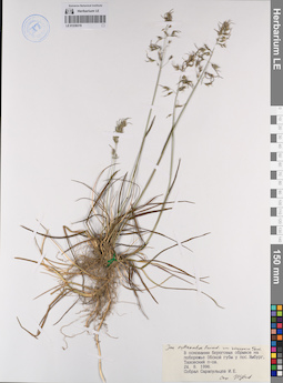
LE 01238319
Poa sublanata Reverd. var. vivipara det. Tzvelev, Nikolai Nikolaievich at 24.08.1996
Collectors: Sarapuljtsev, I. E. Collection date: 24.08.1996. Administrative regions: RU - Yamalo-Nenetskiy Avtonomnyy Okrug - Nadymskiy Rayon. Subregion: Надымский муниципальный округ. Топоним: поселок Ямбург на побережье Обской губы, Тазовский полуостров, Надымский муниципальный округ. Place of collection: у поселка Ямбург.Groups of specimens: Образцы сектора Восточной Европы; Соглашение Минобрнауки №075-15-2021-1056Original label text:В основании береговых обрывов на побережье Обской губы у поселка Ямбург, Тазовский полуостров.
Landscape in location of collection: тундраHabitat / plant community in location of collecting: в основании береговых обрывовRecord creation: 2023-05-19, Artyom Borodushkin, PhotoScan D2.Citation: Specimen LE 01238319 // Virtual herbarium of Komarov Botanical Institute RAS — http://re.herbariumle.ru/01238319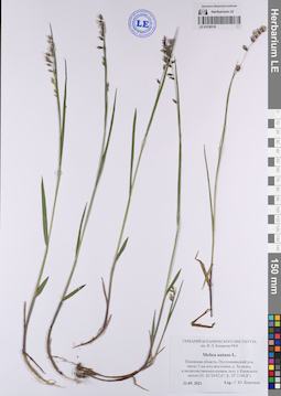
LE 01238318
Melica nutans L. det. Konechnaya, Galina Yurievna at 21.05.2021
Collectors: Konechnaya, Galina Yurievna Collection date: 21.05.2021. Administrative regions: RU - Pskovskaya Oblast' - Pustoshkinskiy Rayon. Subregion: Алольская волость. Топоним: Р-23 (Киевское шоссе, автодорога Псков) - Санкт-Петербург (Пушкинский район), Ленинградская, Псковская области. Place of collection: 3 километра юго-восточнее деревни Холюны, у Киевского шоссе.Groups of specimens: Образцы сектора Восточной Европы; Соглашение Минобрнауки №075-15-2021-1056; Гербарий Ботанического института им. В. Л. Комарова РАНOriginal label text:Псковская область, Пустошкинский район, около 3 километров юго-восточнее деревни Холюны, в мелколиственно-еловом лесу у Киевского шоссе (N: 56°24'47,4"; E: 29°11'49,8").
Landscape in location of collection: смешанные лесаHabitat / plant community in location of collecting: в мелколиственно-еловом лесуCoordinates (geographic position): 56° 24′ 39.6″ N, 29° 12′ 6.03″ ERecord creation: 2023-05-19, Artyom Borodushkin, PhotoScan D2.Citation: Specimen LE 01238318 // Virtual herbarium of Komarov Botanical Institute RAS — http://re.herbariumle.ru/01238318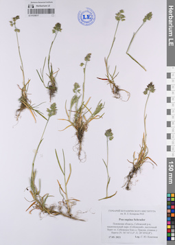
LE 01238317
Poa supina Schrad. det. Konechnaya, Galina Yurievna at 17.05.2021
Collectors: Konechnaya, Galina Yurievna Collection date: 17.05.2021. Administrative regions: RU - Pskovskaya Oblast' - Sebezhskiy Rayon. Subregion: муниципальное образование Себежское. Топоним: Национальный парк "Себежский", Псковская область. Place of collection: восточный берег озера Себежское близ деревни Прасни.Groups of specimens: Образцы сектора Восточной Европы; Соглашение Минобрнауки №075-15-2021-1056; Гербарий Ботанического института им. В. Л. Комарова РАНOriginal label text:Псковская область, Себежский район, национальный парк "Себежский", восточный берег озера Себежское близ деревни Прасни, стоянка у берега (N: 56°16'11,0"; E: 28°30'42,8").
Landscape in location of collection: смешанные лесаHabitat / plant community in location of collecting: стоянка у берегаCoordinates (geographic position): 56° 15′ 55.94″ N, 28° 31′ 54.25″ ERecord creation: 2023-05-19, Artyom Borodushkin, PhotoScan D2.Citation: Specimen LE 01238317 // Virtual herbarium of Komarov Botanical Institute RAS — http://re.herbariumle.ru/01238317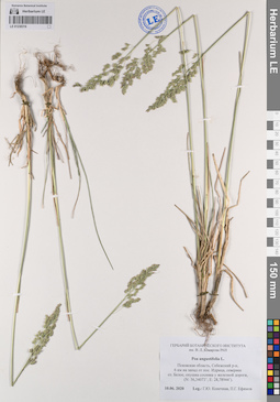
LE 01238316
Poa angustifolia L. det. Konechnaya, Galina Yurievna, Efimov, Peter Gennadievich at 10.06.2020
Collectors: Konechnaya, Galina Yurievna; Efimov, Peter Gennadievich Collection date: 10.06.2020. Administrative regions: RU - Pskovskaya Oblast' - Sebezhskiy Rayon. Subregion: муниципальное образование Идрица. Топоним: озеро Белое, муниципальное образование Идрица, Себежский район. Place of collection: 6 километров на запад от поселка Идрица, севернее озера Белое.Groups of specimens: Образцы сектора Восточной Европы; Соглашение Минобрнауки №075-15-2021-1056; Гербарий Ботанического института им. В. Л. Комарова РАНOriginal label text:Псковская область, Себежский район, 6 километров на запад от поселка Идрица, севернее озера Белое, опушка сосняка у железной дороги, (N: 56,34073°; E: 28,78944°).
Landscape in location of collection: смешанные лесаHabitat / plant community in location of collecting: опушка сосняка у железной дорогиCoordinates (geographic position): 56° 20′ 37.73″ N, 28° 46′ 38.22″ ERecord creation: 2023-05-19, Artyom Borodushkin, PhotoScan D2.Citation: Specimen LE 01238316 // Virtual herbarium of Komarov Botanical Institute RAS — http://re.herbariumle.ru/01238316
LE 01238315
Hierochloe stepporum P.A.Smirn. det. Konechnaya, Galina Yurievna, Efimov, Peter Gennadievich at 10.06.2020
Collectors: Konechnaya, Galina Yurievna; Efimov, Peter Gennadievich Collection date: 10.06.2020. Administrative regions: RU - Pskovskaya Oblast' - Sebezhskiy Rayon. Subregion: муниципальное образование Идрица. Топоним: озеро Белое, муниципальное образование Идрица, Себежский район. Place of collection: 6 километров на запад от поселка Идрица, севернее озера Белое.Groups of specimens: Образцы сектора Восточной Европы; Соглашение Минобрнауки №075-15-2021-1056; Гербарий Ботанического института им. В. Л. Комарова РАНOriginal label text:Псковская область, Себежский район, 6 километров на запад от поселка Идрица, севернее озера Белое, луг у железной дороги, (N: 56,34071°; E: 28,78946°).
Landscape in location of collection: смешанные лесаHabitat / plant community in location of collecting: луг у железной дорогиCoordinates (geographic position): 56° 20′ 31.44″ N, 28° 47′ 15.01″ ERecord creation: 2023-05-19, Artyom Borodushkin, PhotoScan D2.Citation: Specimen LE 01238315 // Virtual herbarium of Komarov Botanical Institute RAS — http://re.herbariumle.ru/01238315