View
Add
Copy
Edit
Delete
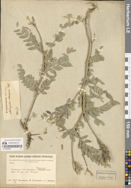
LE 01293349
Astragalus adsurgens Pall. det. Ikonnikov-Galitzky, Nikolai Petrovic
Groups of specimens: Образцы сектора Сибири и Дальнего Востока России; Соглашение Минобрнауки №075-15-2021-1056Record creation: 2024-08-26, Marina Yarichina, PhotoScan D2.Citation: Specimen LE 01293349 // Virtual herbarium of Komarov Botanical Institute RAS — http://re.herbariumle.ru/01293349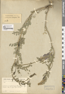
LE 01293348
Astragalus adsurgens Pall. det. Ikonnikov-Galitzky, Nikolai Petrovic
Groups of specimens: Образцы сектора Сибири и Дальнего Востока России; Соглашение Минобрнауки №075-15-2021-1056Record creation: 2024-08-26, Marina Yarichina, PhotoScan D2.Citation: Specimen LE 01293348 // Virtual herbarium of Komarov Botanical Institute RAS — http://re.herbariumle.ru/01293348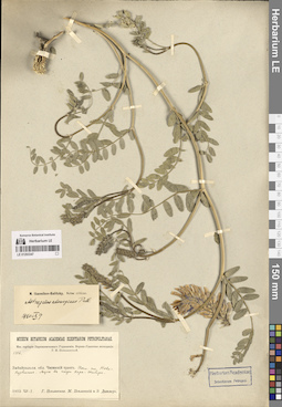
LE 01293347
Astragalus adsurgens Pall. det. Ikonnikov-Galitzky, Nikolai Petrovic
Groups of specimens: Образцы сектора Сибири и Дальнего Востока России; Соглашение Минобрнауки №075-15-2021-1056Record creation: 2024-08-26, Marina Yarichina, PhotoScan D2.Citation: Specimen LE 01293347 // Virtual herbarium of Komarov Botanical Institute RAS — http://re.herbariumle.ru/01293347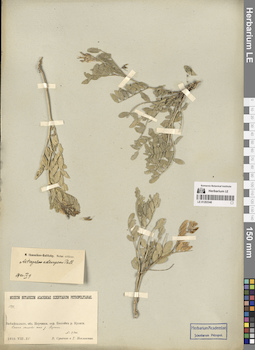
LE 01293346
Astragalus adsurgens Pall. det. Ikonnikov-Galitzky, Nikolai Petrovic
Groups of specimens: Образцы сектора Сибири и Дальнего Востока России; Соглашение Минобрнауки №075-15-2021-1056Record creation: 2024-08-26, Marina Yarichina, PhotoScan D2.Citation: Specimen LE 01293346 // Virtual herbarium of Komarov Botanical Institute RAS — http://re.herbariumle.ru/01293346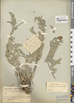
LE 01293345
Astragalus adsurgens Pall. det. Ikonnikov-Galitzky, Nikolai Petrovic
Groups of specimens: Образцы сектора Сибири и Дальнего Востока России; Соглашение Минобрнауки №075-15-2021-1056Record creation: 2024-08-26, Marina Yarichina, PhotoScan D2.Citation: Specimen LE 01293345 // Virtual herbarium of Komarov Botanical Institute RAS — http://re.herbariumle.ru/01293345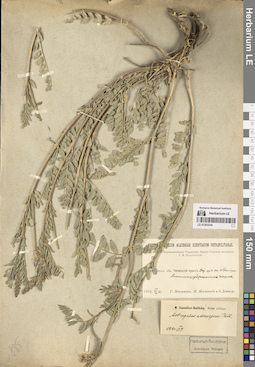
LE 01293344
Astragalus adsurgens Pall. det. Ikonnikov-Galitzky, Nikolai Petrovic
Groups of specimens: Образцы сектора Сибири и Дальнего Востока России; Соглашение Минобрнауки №075-15-2021-1056Record creation: 2024-08-26, Marina Yarichina, PhotoScan D2.Citation: Specimen LE 01293344 // Virtual herbarium of Komarov Botanical Institute RAS — http://re.herbariumle.ru/01293344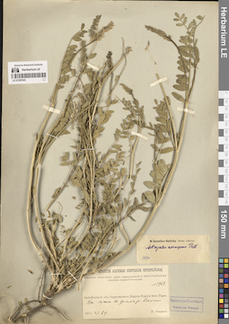
LE 01293343
Astragalus adsurgens Pall. det. Ikonnikov-Galitzky, Nikolai Petrovic
Groups of specimens: Образцы сектора Сибири и Дальнего Востока России; Соглашение Минобрнауки №075-15-2021-1056Record creation: 2024-08-26, Marina Yarichina, PhotoScan D2.Citation: Specimen LE 01293343 // Virtual herbarium of Komarov Botanical Institute RAS — http://re.herbariumle.ru/01293343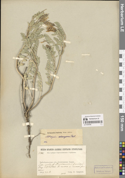
LE 01293342
Astragalus adsurgens Pall. det. Ikonnikov-Galitzky, Nikolai Petrovic
Groups of specimens: Образцы сектора Сибири и Дальнего Востока России; Соглашение Минобрнауки №075-15-2021-1056Record creation: 2024-08-26, Marina Yarichina, PhotoScan D2.Citation: Specimen LE 01293342 // Virtual herbarium of Komarov Botanical Institute RAS — http://re.herbariumle.ru/01293342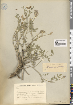
LE 01293341
Astragalus adsurgens Pall. det. Ikonnikov-Galitzky, Nikolai Petrovic
Groups of specimens: Образцы сектора Сибири и Дальнего Востока России; Соглашение Минобрнауки №075-15-2021-1056Record creation: 2024-08-26, Marina Yarichina, PhotoScan D2.Citation: Specimen LE 01293341 // Virtual herbarium of Komarov Botanical Institute RAS — http://re.herbariumle.ru/01293341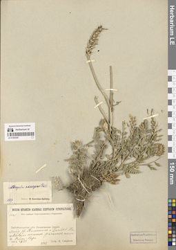
LE 01293340
Astragalus adsurgens Pall. det. Ikonnikov-Galitzky, Nikolai Petrovic
Groups of specimens: Образцы сектора Сибири и Дальнего Востока России; Соглашение Минобрнауки №075-15-2021-1056Record creation: 2024-08-26, Marina Yarichina, PhotoScan D2.Citation: Specimen LE 01293340 // Virtual herbarium of Komarov Botanical Institute RAS — http://re.herbariumle.ru/01293340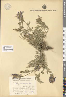
LE 01293339
Astragalus adsurgens Pall. det. Ikonnikov-Galitzky, Nikolai Petrovic
Groups of specimens: Образцы сектора Сибири и Дальнего Востока России; Соглашение Минобрнауки №075-15-2021-1056Record creation: 2024-08-26, Marina Yarichina, PhotoScan D2.Citation: Specimen LE 01293339 // Virtual herbarium of Komarov Botanical Institute RAS — http://re.herbariumle.ru/01293339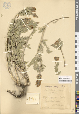
LE 01293338
Astragalus adsurgens Pall. det. Ikonnikov-Galitzky, Nikolai Petrovic
Groups of specimens: Образцы сектора Сибири и Дальнего Востока России; Соглашение Минобрнауки №075-15-2021-1056Record creation: 2024-08-26, Marina Yarichina, PhotoScan D2.Citation: Specimen LE 01293338 // Virtual herbarium of Komarov Botanical Institute RAS — http://re.herbariumle.ru/01293338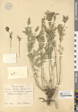
LE 01293337
Astragalus adsurgens Pall. det. Ikonnikov-Galitzky, Nikolai Petrovic
Groups of specimens: Образцы сектора Сибири и Дальнего Востока России; Соглашение Минобрнауки №075-15-2021-1056Record creation: 2024-08-26, Marina Yarichina, PhotoScan D2.Citation: Specimen LE 01293337 // Virtual herbarium of Komarov Botanical Institute RAS — http://re.herbariumle.ru/01293337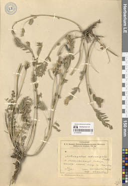
LE 01293336
Astragalus adsurgens Pall.
Groups of specimens: Образцы сектора Сибири и Дальнего Востока России; Соглашение Минобрнауки №075-15-2021-1056Record creation: 2024-08-26, Marina Yarichina, PhotoScan D2.Citation: Specimen LE 01293336 // Virtual herbarium of Komarov Botanical Institute RAS — http://re.herbariumle.ru/01293336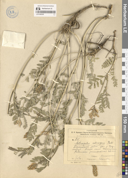
LE 01293335
Astragalus adsurgens Pall.
Groups of specimens: Образцы сектора Сибири и Дальнего Востока России; Соглашение Минобрнауки №075-15-2021-1056Record creation: 2024-08-26, Marina Yarichina, PhotoScan D2.Citation: Specimen LE 01293335 // Virtual herbarium of Komarov Botanical Institute RAS — http://re.herbariumle.ru/01293335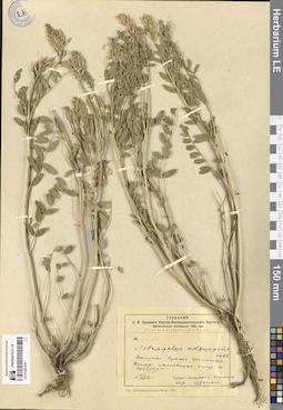
LE 01293334
Astragalus adsurgens Pall.
Groups of specimens: Образцы сектора Сибири и Дальнего Востока России; Соглашение Минобрнауки №075-15-2021-1056Record creation: 2024-08-26, Marina Yarichina, PhotoScan D2.Citation: Specimen LE 01293334 // Virtual herbarium of Komarov Botanical Institute RAS — http://re.herbariumle.ru/01293334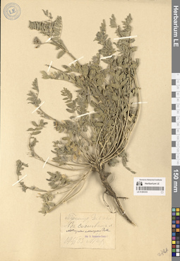
LE 01293333
Astragalus adsurgens Pall. det. Ikonnikov-Galitzky, Nikolai Petrovic
Groups of specimens: Образцы сектора Сибири и Дальнего Востока России; Соглашение Минобрнауки №075-15-2021-1056Record creation: 2024-08-26, Marina Yarichina, PhotoScan D2.Citation: Specimen LE 01293333 // Virtual herbarium of Komarov Botanical Institute RAS — http://re.herbariumle.ru/01293333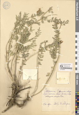
LE 01293332
Astragalus adsurgens Pall.
Groups of specimens: Образцы сектора Сибири и Дальнего Востока России; Соглашение Минобрнауки №075-15-2021-1056Record creation: 2024-08-26, Marina Yarichina, PhotoScan D2.Citation: Specimen LE 01293332 // Virtual herbarium of Komarov Botanical Institute RAS — http://re.herbariumle.ru/01293332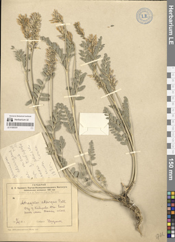
LE 01293331
Astragalus adsurgens Pall.
Groups of specimens: Образцы сектора Сибири и Дальнего Востока России; Соглашение Минобрнауки №075-15-2021-1056Record creation: 2024-08-26, Marina Yarichina, PhotoScan D2.Citation: Specimen LE 01293331 // Virtual herbarium of Komarov Botanical Institute RAS — http://re.herbariumle.ru/01293331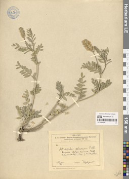
LE 01293330
Astragalus adsurgens Pall.
Groups of specimens: Образцы сектора Сибири и Дальнего Востока России; Соглашение Минобрнауки №075-15-2021-1056Record creation: 2024-08-26, Marina Yarichina, PhotoScan D2.Citation: Specimen LE 01293330 // Virtual herbarium of Komarov Botanical Institute RAS — http://re.herbariumle.ru/01293330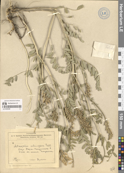
LE 01293329
Astragalus adsurgens Pall.
Groups of specimens: Образцы сектора Сибири и Дальнего Востока России; Соглашение Минобрнауки №075-15-2021-1056Record creation: 2024-08-26, Marina Yarichina, PhotoScan D2.Citation: Specimen LE 01293329 // Virtual herbarium of Komarov Botanical Institute RAS — http://re.herbariumle.ru/01293329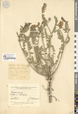
LE 01293328
Astragalus adsurgens Pall. det. Mikhno, Petr Savvich
Groups of specimens: Образцы сектора Сибири и Дальнего Востока России; Соглашение Минобрнауки №075-15-2021-1056Record creation: 2024-08-26, Marina Yarichina, PhotoScan D2.Citation: Specimen LE 01293328 // Virtual herbarium of Komarov Botanical Institute RAS — http://re.herbariumle.ru/01293328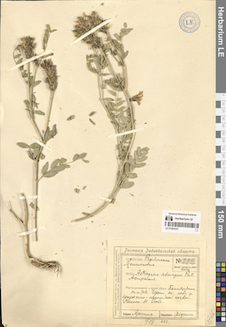
LE 01293327
Astragalus adsurgens Pall.
Groups of specimens: Образцы сектора Сибири и Дальнего Востока России; Соглашение Минобрнауки №075-15-2021-1056Record creation: 2024-08-26, Marina Yarichina, PhotoScan D2.Citation: Specimen LE 01293327 // Virtual herbarium of Komarov Botanical Institute RAS — http://re.herbariumle.ru/01293327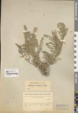
LE 01293326
Astragalus adsurgens Pall. det. Ikonnikov-Galitzky, Nikolai Petrovic
Groups of specimens: Образцы сектора Сибири и Дальнего Востока России; Соглашение Минобрнауки №075-15-2021-1056Record creation: 2024-08-26, Marina Yarichina, PhotoScan D2.Citation: Specimen LE 01293326 // Virtual herbarium of Komarov Botanical Institute RAS — http://re.herbariumle.ru/01293326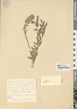
LE 01293325
Astragalus adsurgens Pall. det. Ikonnikov-Galitzky, Nikolai Petrovic
Groups of specimens: Образцы сектора Сибири и Дальнего Востока России; Соглашение Минобрнауки №075-15-2021-1056Record creation: 2024-08-26, Marina Yarichina, PhotoScan D2.Citation: Specimen LE 01293325 // Virtual herbarium of Komarov Botanical Institute RAS — http://re.herbariumle.ru/01293325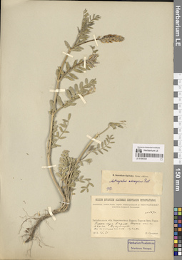
LE 01293324
Astragalus adsurgens Pall. det. Ikonnikov-Galitzky, Nikolai Petrovic
Groups of specimens: Образцы сектора Сибири и Дальнего Востока России; Соглашение Минобрнауки №075-15-2021-1056Record creation: 2024-08-26, Marina Yarichina, PhotoScan D2.Citation: Specimen LE 01293324 // Virtual herbarium of Komarov Botanical Institute RAS — http://re.herbariumle.ru/01293324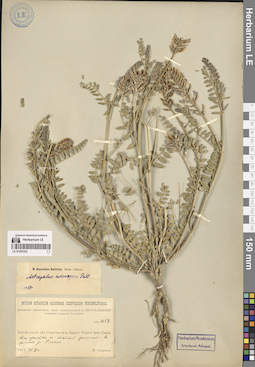
LE 01293323
Astragalus adsurgens Pall. det. Ikonnikov-Galitzky, Nikolai Petrovic
Groups of specimens: Образцы сектора Сибири и Дальнего Востока России; Соглашение Минобрнауки №075-15-2021-1056Record creation: 2024-08-26, Marina Yarichina, PhotoScan D2.Citation: Specimen LE 01293323 // Virtual herbarium of Komarov Botanical Institute RAS — http://re.herbariumle.ru/01293323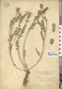
LE 01293322
Astragalus adsurgens Pall.
Groups of specimens: Образцы сектора Сибири и Дальнего Востока России; Соглашение Минобрнауки №075-15-2021-1056Record creation: 2024-08-26, Marina Yarichina, PhotoScan D2.Citation: Specimen LE 01293322 // Virtual herbarium of Komarov Botanical Institute RAS — http://re.herbariumle.ru/01293322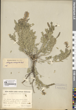
LE 01293321
Astragalus adsurgens Pall. det. Ikonnikov-Galitzky, Nikolai Petrovic
Groups of specimens: Образцы сектора Сибири и Дальнего Востока России; Соглашение Минобрнауки №075-15-2021-1056Record creation: 2024-08-26, Marina Yarichina, PhotoScan D2.Citation: Specimen LE 01293321 // Virtual herbarium of Komarov Botanical Institute RAS — http://re.herbariumle.ru/01293321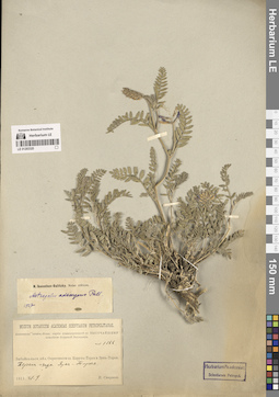
LE 01293320
Astragalus adsurgens Pall. det. Ikonnikov-Galitzky, Nikolai Petrovic
Groups of specimens: Образцы сектора Сибири и Дальнего Востока России; Соглашение Минобрнауки №075-15-2021-1056Record creation: 2024-08-26, Marina Yarichina, PhotoScan D2.Citation: Specimen LE 01293320 // Virtual herbarium of Komarov Botanical Institute RAS — http://re.herbariumle.ru/01293320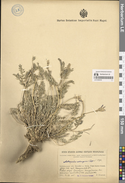
LE 01293319
Astragalus adsurgens Pall. det. Ikonnikov-Galitzky, Nikolai Petrovic
Groups of specimens: Образцы сектора Сибири и Дальнего Востока России; Соглашение Минобрнауки №075-15-2021-1056Record creation: 2024-08-26, Marina Yarichina, PhotoScan D2.Citation: Specimen LE 01293319 // Virtual herbarium of Komarov Botanical Institute RAS — http://re.herbariumle.ru/01293319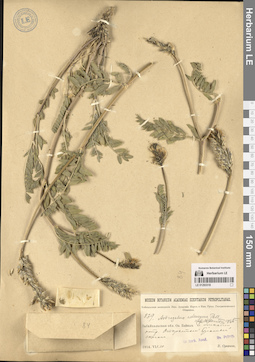
LE 01293318
Astragalus adsurgens Pall. det. Ikonnikov-Galitzky, Nikolai Petrovic at 1935
Groups of specimens: Образцы сектора Сибири и Дальнего Востока России; Соглашение Минобрнауки №075-15-2021-1056Record creation: 2024-08-26, Marina Yarichina, PhotoScan D2.Citation: Specimen LE 01293318 // Virtual herbarium of Komarov Botanical Institute RAS — http://re.herbariumle.ru/01293318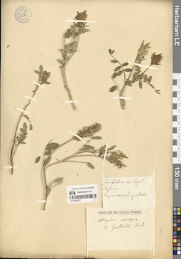
LE 01293317
Astragalus adsurgens Pall.
Collectors: Sosnin, Kornilo Petrovich Collection date: 1824. Administrative regions: RU - Zabaykal'skiy Kray - Nerchinsko-Zavodskiy Rayon. Groups of specimens: Образцы сектора Сибири и Дальнего Востока России; Соглашение Минобрнауки №075-15-2021-1056Original label text:In Dahuria. Нерчинской Завод
Record creation: 2024-08-26, Marina Yarichina, PhotoScan D2.Citation: Specimen LE 01293317 // Virtual herbarium of Komarov Botanical Institute RAS — http://re.herbariumle.ru/01293317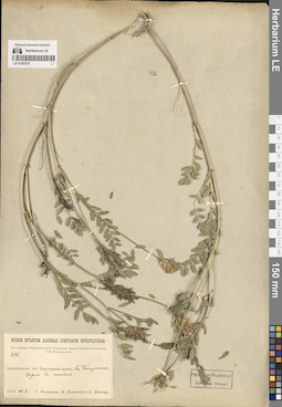
LE 01293316
Astragalus adsurgens Pall.
Groups of specimens: Образцы сектора Сибири и Дальнего Востока России; Соглашение Минобрнауки №075-15-2021-1056Record creation: 2024-08-26, Marina Yarichina, PhotoScan D2.Citation: Specimen LE 01293316 // Virtual herbarium of Komarov Botanical Institute RAS — http://re.herbariumle.ru/01293316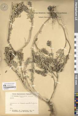
LE 01293315
Astragalus adsurgens Pall.
Groups of specimens: Образцы сектора Сибири и Дальнего Востока России; Соглашение Минобрнауки №075-15-2021-1056Record creation: 2024-08-26, Marina Yarichina, PhotoScan D2.Citation: Specimen LE 01293315 // Virtual herbarium of Komarov Botanical Institute RAS — http://re.herbariumle.ru/01293315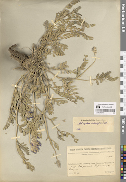
LE 01293314
Astragalus adsurgens Pall. det. Ikonnikov-Galitzky, Nikolai Petrovic
Groups of specimens: Образцы сектора Сибири и Дальнего Востока России; Соглашение Минобрнауки №075-15-2021-1056Record creation: 2024-08-26, Marina Yarichina, PhotoScan D2.Citation: Specimen LE 01293314 // Virtual herbarium of Komarov Botanical Institute RAS — http://re.herbariumle.ru/01293314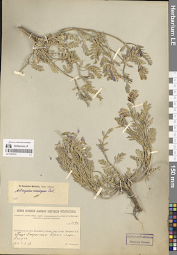
LE 01293313
Astragalus adsurgens Pall. det. Ikonnikov-Galitzky, Nikolai Petrovic
Groups of specimens: Образцы сектора Сибири и Дальнего Востока России; Соглашение Минобрнауки №075-15-2021-1056Record creation: 2024-08-26, Marina Yarichina, PhotoScan D2.Citation: Specimen LE 01293313 // Virtual herbarium of Komarov Botanical Institute RAS — http://re.herbariumle.ru/01293313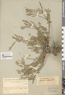
LE 01293312
Astragalus adsurgens Pall. det. Ikonnikov-Galitzky, Nikolai Petrovic
Groups of specimens: Образцы сектора Сибири и Дальнего Востока России; Соглашение Минобрнауки №075-15-2021-1056Record creation: 2024-08-26, Marina Yarichina, PhotoScan D2.Citation: Specimen LE 01293312 // Virtual herbarium of Komarov Botanical Institute RAS — http://re.herbariumle.ru/01293312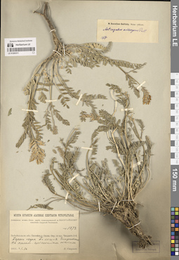
LE 01293311
Astragalus adsurgens Pall. det. Ikonnikov-Galitzky, Nikolai Petrovic
Groups of specimens: Образцы сектора Сибири и Дальнего Востока России; Соглашение Минобрнауки №075-15-2021-1056Record creation: 2024-08-26, Marina Yarichina, PhotoScan D2.Citation: Specimen LE 01293311 // Virtual herbarium of Komarov Botanical Institute RAS — http://re.herbariumle.ru/01293311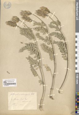
LE 01293310
Astragalus adsurgens Pall.
Groups of specimens: Образцы сектора Сибири и Дальнего Востока России; Соглашение Минобрнауки №075-15-2021-1056Record creation: 2024-08-26, Marina Yarichina, PhotoScan D2.Citation: Specimen LE 01293310 // Virtual herbarium of Komarov Botanical Institute RAS — http://re.herbariumle.ru/01293310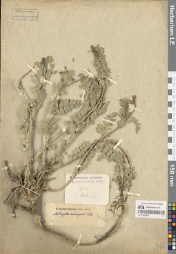
LE 01293309
Astragalus adsurgens Pall. det. Ikonnikov-Galitzky, Nikolai Petrovic
Groups of specimens: Образцы сектора Сибири и Дальнего Востока России; Соглашение Минобрнауки №075-15-2021-1056Record creation: 2024-08-26, Marina Yarichina, PhotoScan D2.Citation: Specimen LE 01293309 // Virtual herbarium of Komarov Botanical Institute RAS — http://re.herbariumle.ru/01293309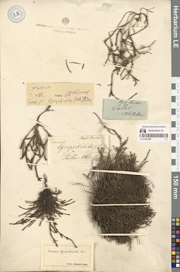
LE 01293306
Cassiope lycopodioides (Pall.) D. Don det. Fischer, Friedrich Ernst Ludwig von
Additional identifications: Cassiope lycopodioides (Pall.) D. Don det. Busch, Elizaveta Aleksandrovna Collectors: Steller, Georg Wilhelm Administrative regions: RU - Kamtchatski Kray. Groups of specimens: Образцы сектора Сибири и Дальнего Востока России; Соглашение Минобрнауки №075-15-2021-1056Original label text:Steller
Record creation: 2024-08-26, Marina Yarichina, PhotoScan D2.Citation: Specimen LE 01293306 // Virtual herbarium of Komarov Botanical Institute RAS — http://re.herbariumle.ru/01293306Hb. Pallas
Herb. Fischer
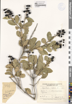
LE 01294430
Ligustrum vulgare L. det. Tzvelev, Nikolai Nikolaievich
Collectors: Busch Collection date: 30.09. Administrative regions: RU - Republic of Crimea. Subregion: Севастополь, Балаклавский район, город Инкерман. Топоним: Инкерманский Свято-Климентовский пещерный мужской монастырь, Севастополь. Place of collection: гора Монастырская.Groups of specimens: Образцы сектора Восточной Европы; Соглашение Минобрнауки №075-15-2021-1056; Гербарий Ботанического Института Академии наук СССРOriginal label text:Крым? гора Моностырская Родники
Landscape in location of collection: теплоумеренный пояс, граница предгорных степей и смешанных (субсредиземноморских) лесовHabitat / plant community in location of collecting: родникиRecord creation: 2024-08-12, Artyom Borodushkin, PhotoScan D2.Citation: Specimen LE 01294430 // Virtual herbarium of Komarov Botanical Institute RAS — http://re.herbariumle.ru/01294430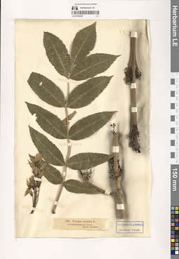
LE 01294429
Fraxinus excelsior L. det. Jacobson
Collectors: Jacobson Field collecting number: 513. Administrative regions: EE - Tartumaa - Tartu linn. Subregion: область Тарту. Топоним: город Тарту (Дерпт, Dorpat, Юрьев, Jurjew), Эстония (Tartu). Place of collection: лес Лаубвальд близ города Тарту.Groups of specimens: Образцы сектора Восточной Европы; Соглашение Минобрнауки №075-15-2021-1056; Herbarium Academiae Scientiarum Petropol.Original label text:in Laubwaldungen bei Dorpat.
Landscape in location of collection: смешанные лесаRecord creation: 2024-08-12, Artyom Borodushkin, PhotoScan D2.Citation: Specimen LE 01294429 // Virtual herbarium of Komarov Botanical Institute RAS — http://re.herbariumle.ru/01294429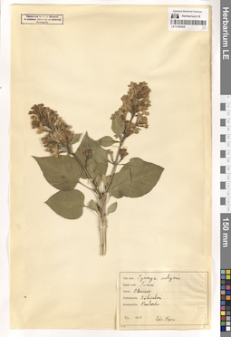
LE 01294428
Syringa vulgaris L. ⟨Tiet. nimi Suom. nimi Sireeni Heimo Oleaceae⟩ det. Repo, Pirkko at 04.06.1934
Collectors: Repo, Pirkko Collection date: 04.06.1934. Administrative regions: RU - Leningradskaya Oblast' - Priozersky Rayon. Subregion: Приозерское городское поселение. Топоним: город Приозерск (Кякисалми, Кексгольм), Ленинградская область. Groups of specimens: Образцы сектора Восточной Европы; Соглашение Минобрнауки №075-15-2021-1056; Herbarium Instituti Botanici Academiae Scientiarum Rossicae PetropolisOriginal label text:Paikkakunta Kaekisalmi Kasvupaikka Puutarha
Landscape in location of collection: южная тайгаHabitat / plant community in location of collecting: садRecord creation: 2024-08-12, Artyom Borodushkin, PhotoScan D2.Citation: Specimen LE 01294428 // Virtual herbarium of Komarov Botanical Institute RAS — http://re.herbariumle.ru/01294428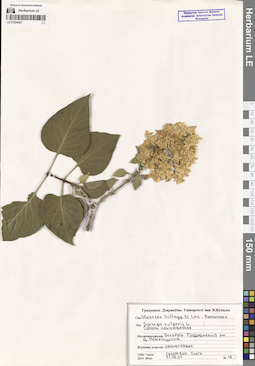
LE 01294427
Syringa vulgaris L. ⟨Сям. Oleaceae Hoffmgg. Et Link - Маслинные Вiд Сирень обыкновенная⟩ det. Lazarevich, Olga at 31.05.2007
Collectors: Lazarevich, Olga Field collecting number: 18. Collection date: 31.05.2007. Administrative regions: BY - Grodno Oblast - Grodnenskiy Rayon. Subregion: Коптёвский сельсовет. Топоним: деревня Немейши (Немеишизна), Гродненский район. Groups of specimens: Образцы сектора Восточной Европы; Соглашение Минобрнауки №075-15-2021-1056; Herbarium Instituti Botanici Academiae Scientiarum Rossicae Petropolis; Гродненский государственный университет им. Я. КупалыOriginal label text:Месцазнаходжанне Беларусь Гродненский район деревня Неменшизна Жыццевае асяродзе разнотравье
Landscape in location of collection: широколиственные лесаHabitat / plant community in location of collecting: разнотравьеRecord creation: 2024-08-12, Artyom Borodushkin, PhotoScan D2.Citation: Specimen LE 01294427 // Virtual herbarium of Komarov Botanical Institute RAS — http://re.herbariumle.ru/01294427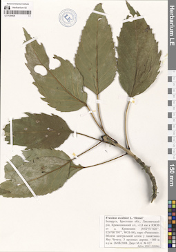
LE 01294426
Fraxinus excelsior L. 'Hessei' det. Dzhus, Maksim Anatolevich at 26.08.2008
Collectors: Dzhus, Maksim Anatolevich Field collecting number: 827. Collection date: 26.08.2008. Administrative regions: BY - Brest Oblast - Lyakhavitski Rayon. Subregion: Кривошинский сельсовет. Топоним: парк Репихово, Ляховичский район, Брестская область. Place of collection: 1,8 километра к юг-юго-востоку от деревни Кривошин, у памятника Яну Чечету, 160 метров над уровнем моря.Groups of specimens: Образцы сектора Восточной Европы; Соглашение Минобрнауки №075-15-2021-1056; MSKU (DZHhb)Life form: large treeObject features: 3 дереваOriginal label text:Беларусь, Брестская область, Ляховичский район, Кривошинский сельсовет, примерно 1,8 километра к юг-юго-востоку от деревни Кривошин (N52°51'420'', E26°08'595", WGS-84), парк "Репихово". Вблизи центральной аллеи у памятника Яну Чечету. 3 крупных дерева. Примерно 160 метров над уровнем моря
Landscape in location of collection: широколиственные лесаHabitat / plant community in location of collecting: парк, вблизи центральной аллеиCoordinates (geographic position): 52° 51′ 42″ N, 26° 8′ 59.5″ E 160 m a.s.l.Record creation: 2024-08-12, Artyom Borodushkin, PhotoScan D2.Citation: Specimen LE 01294426 // Virtual herbarium of Komarov Botanical Institute RAS — http://re.herbariumle.ru/01294426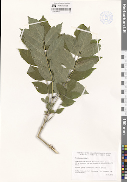
LE 01294425
Fraxinus excelsior L. det. Efimov, Peter Gennadievich, Konechnaya, Galina Yurievna, Smagin, Viktor Alekseevich (Смагин, Виктор Алексеевич), Liksakova, Nadezhda Sergeevna at 27.06.2010
Collectors: Efimov, Peter Gennadievich; Konechnaya, Galina Yurievna; Smagin, Viktor Alekseevich (Смагин, Виктор Алексеевич); Liksakova, Nadezhda Sergeevna Collection date: 27.06.2010. Administrative regions: RU - Novgorodskaya Oblast' - Kholmskiy Rayon. Subregion: Холмский муниципальный округ. Топоним: болото Чистый Мох, Холмский муниципальный округ. Place of collection: 5 километров северо-восточнее деревни Батутино, на границе с болотом Чистый Мох.Groups of specimens: Образцы сектора Восточной Европы; Соглашение Минобрнауки №075-15-2021-1056; Herbarium of the Komarov Botanical institute, Saint-Petersburg, Russia (LE)Original label text:Новгородская область, Холмский район, около 5 километров северо-восточнее деревни Батутино. Лес на границе с болотом "Чистый Мох"
Landscape in location of collection: смешанные лесаHabitat / plant community in location of collecting: лесCoordinates (geographic position): 57° 4′ 0″ N, 31° 16′ 0″ ERecord creation: 2024-08-12, Artyom Borodushkin, PhotoScan D2.Citation: Specimen LE 01294425 // Virtual herbarium of Komarov Botanical Institute RAS — http://re.herbariumle.ru/01294425Approximated geographic coordinates: 57°04' N, 31°16' E
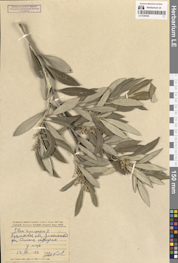
LE 01294424
Olea europaea L. det. illegible at 14.07.1956
Collectors: illegible Collection date: 14.07.1956. Administrative regions: RU - Republic of Crimea. Subregion: городской округ Ялта. Топоним: поселок городского типа Симеиз, Крым. Place of collection: у Черного моря.Groups of specimens: Образцы сектора Восточной Европы; Соглашение Минобрнауки №075-15-2021-1056; Гербарий Института Ботаники Академии наук Украинской РСРOriginal label text:Крымская область, Ялтинский район, Симеиз, разведено у моря.
Landscape in location of collection: теплоумеренные смешанные (субсредиземноморские) лесаHabitat / plant community in location of collecting: разведеноRecord creation: 2024-08-12, Artyom Borodushkin, PhotoScan D2.. Processing status: data is not fully enteredCitation: Specimen LE 01294424 // Virtual herbarium of Komarov Botanical Institute RAS — http://re.herbariumle.ru/01294424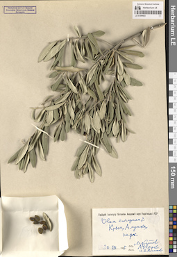
LE 01294423
Olea europaea L. det. illegible, illegible, illegible at 30.07.1955
Collectors: illegible; illegible; illegible Collection date: 30.07.1955. Administrative regions: RU - Republic of Crimea. Subregion: городской округ Ялта. Топоним: Воронцовский дворец, Алупка, Крым. Groups of specimens: Образцы сектора Восточной Европы; Соглашение Минобрнауки №075-15-2021-1056; Гербарий Института Ботаники Академии наук Украинской РСРOriginal label text:Крым, Алупка, парк
Landscape in location of collection: теплоумеренные смешанные (субсредиземноморские) лесаHabitat / plant community in location of collecting: паркRecord creation: 2024-08-12, Artyom Borodushkin, PhotoScan D2.. Processing status: data is not fully enteredCitation: Specimen LE 01294423 // Virtual herbarium of Komarov Botanical Institute RAS — http://re.herbariumle.ru/01294423