View
Add
Copy
Edit
Delete
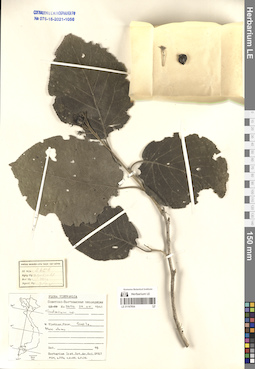
LE 01167654
Solanum sp. ⟮prelim. ID⟯ det. Averyanov, Leonid Vladimirovich at 11.03.2022
Collectors: Busch Field collecting number: N 2656. Collection date: 29.05.1961. Administrative regions: VN - Tinh Son La. Groups of specimens: L. V. Averyanov specimens; L. V. Averyanov herbarium; Соглашение Минобрнауки №075-15-2021-1056Original label text:FLORA OF VIETNAM
Record creation: 2022-01-26, Galina Savich, PhotoScan D2Citation: Specimen LE 01167654 // Virtual herbarium of Komarov Botanical Institute RAS — http://re.herbariumle.ru/01167654Solanaceae?
Solanum sp.?
Vietnam. Son La Prov. N 2656, 29.05.1961.
Det. Averyanov L.
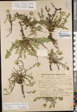
LE 01082182
Groups of specimens: Образцы сектора Сибири и Дальнего Востока России; Типовые образцы сектора Сибири и Дальнего Востока России; Соглашение Минобрнауки №075-15-2021-1056Record creation: 2022-01-26, Marina Yarichina, PhotoScan D2Citation: Specimen LE 01082182 // Virtual herbarium of Komarov Botanical Institute RAS — http://re.herbariumle.ru/01082182
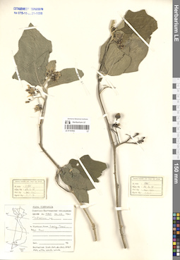
LE 01167653
Solanum sp. det. Averyanov, Leonid Vladimirovich at 11.03.2022
Collectors: Busch Field collecting number: N 1385. Collection date: 26.04.1961. Administrative regions: VN - Tinh Lang Son. Groups of specimens: L. V. Averyanov specimens; L. V. Averyanov herbarium; Соглашение Минобрнауки №075-15-2021-1056Original label text:FLORA OF VIETNAM
Record creation: 2022-01-26, Galina Savich, PhotoScan D2Citation: Specimen LE 01167653 // Virtual herbarium of Komarov Botanical Institute RAS — http://re.herbariumle.ru/01167653Solanaceae
Solanum sp.
Vietnam. Lang Son Prov. N 1385, 26.04.1961.
Det. Averyanov L.
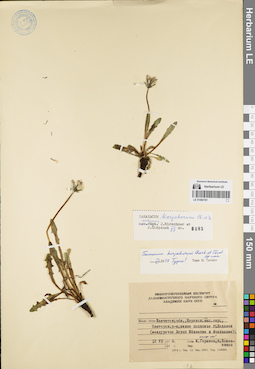
LE 01082181
Type of Taraxacum korjakorum Kharkev. & Tzvelev det. Tzvelev, Nikolai Nikolaievich at 03.1977
Additional identifications: Taraxacum korjakorum Kharkev. & Tzvelev det. Kirschner, Jan Collectors: Kozhevnikov, Andrey Evgenievich; Gorshkov, Michail Collection date: 12.07.1976. Administrative regions: RU - Kamtchatski Kray - Olyutorskiy Rayon. Groups of specimens: Образцы сектора Сибири и Дальнего Востока России; Типовые образцы сектора Сибири и Дальнего Востока России; Соглашение Минобрнауки №075-15-2021-1056Original label text:Камчатская область, Корякский национальный округ, Олюторский район, южное подножие г. Ледяной (междуречье Левой Яёлваяма и Ачайваяма).
Record creation: 2022-01-26, Marina Yarichina, PhotoScan D2Citation: Specimen LE 01082181 // Virtual herbarium of Komarov Botanical Institute RAS — http://re.herbariumle.ru/01082181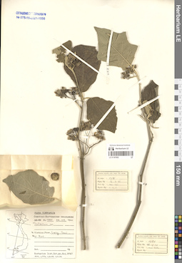
LE 01167652
Solanum sp. det. Averyanov, Leonid Vladimirovich at 11.03.2022
Collectors: Busch Field collecting number: N 1385. Collection date: 26.04.1961. Administrative regions: VN - Tinh Lang Son. Groups of specimens: L. V. Averyanov specimens; L. V. Averyanov herbarium; Соглашение Минобрнауки №075-15-2021-1056Original label text:FLORA OF VIETNAM
Record creation: 2022-01-26, Galina Savich, PhotoScan D2. Processing status: work_status_1Citation: Specimen LE 01167652 // Virtual herbarium of Komarov Botanical Institute RAS — http://re.herbariumle.ru/01167652Solanaceae
Solanum sp.
Vietnam. Lang Son Prov. N 1385, 26.04.1961.
Det. Averyanov L.
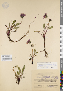
LE 01082180
Groups of specimens: Образцы сектора Сибири и Дальнего Востока России; Типовые образцы сектора Сибири и Дальнего Востока России; Соглашение Минобрнауки №075-15-2021-1056Record creation: 2022-01-26, Marina Yarichina, PhotoScan D2Citation: Specimen LE 01082180 // Virtual herbarium of Komarov Botanical Institute RAS — http://re.herbariumle.ru/01082180
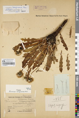
LE 01082179
Groups of specimens: Образцы сектора Сибири и Дальнего Востока России; Типовые образцы сектора Сибири и Дальнего Востока России; Соглашение Минобрнауки №075-15-2021-1056Record creation: 2022-01-26, Marina Yarichina, PhotoScan D2Citation: Specimen LE 01082179 // Virtual herbarium of Komarov Botanical Institute RAS — http://re.herbariumle.ru/01082179
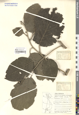
LE 01167651
Solanum sp. ⟮prelim. ID⟯ det. Averyanov, Leonid Vladimirovich at 11.03.2022
Collectors: Busch Field collecting number: N 2656. Collection date: 29.05.1961. Administrative regions: VN - Tinh Son La. Groups of specimens: L. V. Averyanov specimens; L. V. Averyanov herbarium; Соглашение Минобрнауки №075-15-2021-1056Original label text:FLORA OF VIETNAM
Record creation: 2022-01-26, Galina Savich, PhotoScan D2. Processing status: work_status_1Citation: Specimen LE 01167651 // Virtual herbarium of Komarov Botanical Institute RAS — http://re.herbariumle.ru/01167651Solanaceae ?
Solanum sp. ?
Vietnam. Son La Prov. N 2656, 29.05.1961.
Det. Averyanov L.
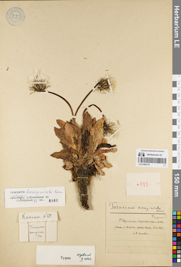
LE 01082178
Groups of specimens: Образцы сектора Сибири и Дальнего Востока России; Типовые образцы сектора Сибири и Дальнего Востока России; Соглашение Минобрнауки №075-15-2021-1056Record creation: 2022-01-26, Marina Yarichina, PhotoScan D2Citation: Specimen LE 01082178 // Virtual herbarium of Komarov Botanical Institute RAS — http://re.herbariumle.ru/01082178
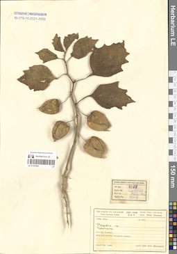
LE 01167650
Physalis sp. det. Averyanov, Leonid Vladimirovich at 11.03.2022
Collectors: Busch Field collecting number: N 3750. Collection date: 20.01.1961. Administrative regions: VN - Vietnam. Groups of specimens: L. V. Averyanov specimens; L. V. Averyanov herbarium; Соглашение Минобрнауки №075-15-2021-1056Original label text:FLORA OF VIETNAM
Record creation: 2022-01-26, Galina Savich, PhotoScan D2. Processing status: work_status_1Citation: Specimen LE 01167650 // Virtual herbarium of Komarov Botanical Institute RAS — http://re.herbariumle.ru/01167650Solanaceae
Physalis sp.
Vietnam. N 3750, 20.01.1961.
Det. Averyanov L.
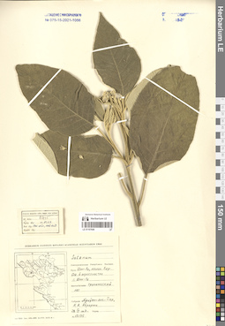
LE 01167649
Solanum sp. det. Avrorin, Nikolay Alexandrovich at 28.04.1963
Collectors: Nguyen Anh Tiep; Avrorin, Nikolay Alexandrovich Field collecting number: Avrorin 12135. Collection date: 28.04.1963. Administrative regions: VN - Tinh Son La. Groups of specimens: L. V. Averyanov specimens; L. V. Averyanov herbarium; Соглашение Минобрнауки №075-15-2021-1056Original label text:FLORA OF VIETNAM
Record creation: 2022-01-26, Galina Savich, PhotoScan D2. Processing status: work_status_1Citation: Specimen LE 01167649 // Virtual herbarium of Komarov Botanical Institute RAS — http://re.herbariumle.ru/01167649Solanaceae ?
Solanum sp. ?
Vietnam. Son La Prov. Avrorin 12135, 28.04.1963. Leg. Nguyen Anh Tiep, Avrorin N.
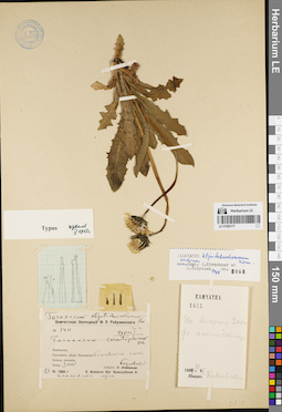
LE 01082177
Groups of specimens: Образцы сектора Сибири и Дальнего Востока России; Типовые образцы сектора Сибири и Дальнего Востока России; Соглашение Минобрнауки №075-15-2021-1056Record creation: 2022-01-26, Marina Yarichina, PhotoScan D2Citation: Specimen LE 01082177 // Virtual herbarium of Komarov Botanical Institute RAS — http://re.herbariumle.ru/01082177
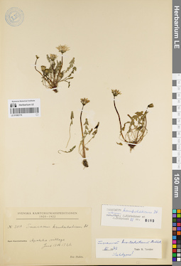
LE 01082176
Groups of specimens: Образцы сектора Сибири и Дальнего Востока России; Типовые образцы сектора Сибири и Дальнего Востока России; Соглашение Минобрнауки №075-15-2021-1056Record creation: 2022-01-26, Marina Yarichina, PhotoScan D2Citation: Specimen LE 01082176 // Virtual herbarium of Komarov Botanical Institute RAS — http://re.herbariumle.ru/01082176
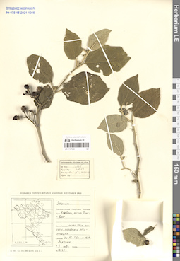
LE 01167648
Solanum sp. det. Avrorin, Nikolay Alexandrovich at 01.05.1963
Collectors: Vu Tu Tien; Avrorin, Nikolay Alexandrovich Field collecting number: Avrorin 12145. Collection date: 01.05.1963. Administrative regions: VN - Tinh Hoa Binh. Groups of specimens: L. V. Averyanov specimens; L. V. Averyanov herbarium; Соглашение Минобрнауки №075-15-2021-1056Original label text:FLORA OF VIETNAM
Record creation: 2022-01-26, Galina Savich, PhotoScan D2. Processing status: work_status_1Citation: Specimen LE 01167648 // Virtual herbarium of Komarov Botanical Institute RAS — http://re.herbariumle.ru/01167648Solanaceae
Solanum sp.
Vietnam. Hoa Binh Prov. Avrorin 12145, 01.05.1963. Leg. Vu Tu Tien, Avrorin N.
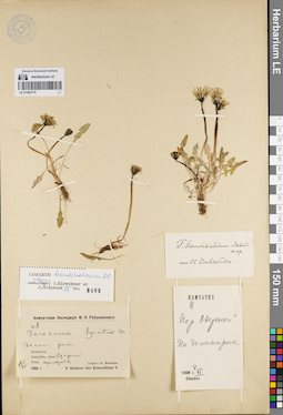
LE 01082175
Groups of specimens: Образцы сектора Сибири и Дальнего Востока России; Типовые образцы сектора Сибири и Дальнего Востока России; Соглашение Минобрнауки №075-15-2021-1056Record creation: 2022-01-26, Marina Yarichina, PhotoScan D2Citation: Specimen LE 01082175 // Virtual herbarium of Komarov Botanical Institute RAS — http://re.herbariumle.ru/01082175
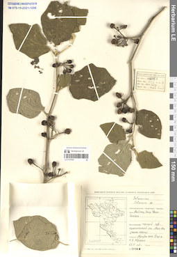
LE 01167647
Solanum sp. det. Avrorin, Nikolay Alexandrovich at 25.04.1963
Collectors: Nguyen Anh Tiep; Avrorin, Nikolay Alexandrovich Field collecting number: Avrorin 12086 b. Collection date: 25.04.1963. Administrative regions: VN - Tinh Dien Bien. Groups of specimens: L. V. Averyanov specimens; L. V. Averyanov herbarium; Соглашение Минобрнауки №075-15-2021-1056Original label text:FLORA OF VIETNAM
Record creation: 2022-01-26, Galina Savich, PhotoScan D2. Processing status: work_status_1Citation: Specimen LE 01167647 // Virtual herbarium of Komarov Botanical Institute RAS — http://re.herbariumle.ru/01167647Solanaceae
Solanum sp.
Vietnam. Dien Bien Prov., Avrorin 12086 b, 25.04.1963. Leg. Nguyen Anh Tiep, Avrorin N.
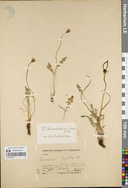
LE 01082174
Groups of specimens: Образцы сектора Сибири и Дальнего Востока России; Типовые образцы сектора Сибири и Дальнего Востока России; Соглашение Минобрнауки №075-15-2021-1056Record creation: 2022-01-26, Marina Yarichina, PhotoScan D2Citation: Specimen LE 01082174 // Virtual herbarium of Komarov Botanical Institute RAS — http://re.herbariumle.ru/01082174
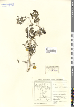
LE 01167646
Lycopersicon sp. det. Avrorin, Nikolay Alexandrovich at 25.04.1963
Collectors: Nguyen Anh Tiep; Avrorin, Nikolay Alexandrovich Field collecting number: Avrorin 12182. Collection date: 25.04.1963. Administrative regions: VN - Tinh Dien Bien. Groups of specimens: L. V. Averyanov specimens; L. V. Averyanov herbarium; Соглашение Минобрнауки №075-15-2021-1056Original label text:FLORA OF VIETNAM
Record creation: 2022-01-26, Galina Savich, PhotoScan D2. Processing status: work_status_1Citation: Specimen LE 01167646 // Virtual herbarium of Komarov Botanical Institute RAS — http://re.herbariumle.ru/01167646Solanaceae
Lycopersicon sp.
Vietnam. Dien Bien Prov., Avrorin 12182, 25.04.1963. Leg. Nguyen Anh Tiep, Avrorin N.
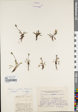
LE 01082173
Groups of specimens: Образцы сектора Сибири и Дальнего Востока России; Типовые образцы сектора Сибири и Дальнего Востока России; Соглашение Минобрнауки №075-15-2021-1056Record creation: 2022-01-26, Marina Yarichina, PhotoScan D2Citation: Specimen LE 01082173 // Virtual herbarium of Komarov Botanical Institute RAS — http://re.herbariumle.ru/01082173
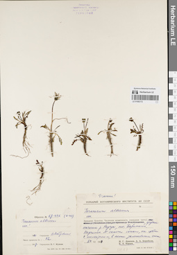
LE 01082172
Groups of specimens: Образцы сектора Сибири и Дальнего Востока России; Типовые образцы сектора Сибири и Дальнего Востока России; Соглашение Минобрнауки №075-15-2021-1056Record creation: 2022-01-26, Marina Yarichina, PhotoScan D2Citation: Specimen LE 01082172 // Virtual herbarium of Komarov Botanical Institute RAS — http://re.herbariumle.ru/01082172
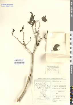
LE 01167645
Capsicum sp. det. Avrorin, Nikolay Alexandrovich at 28.04.1963
Collectors: Nguyen Anh Tiep; Avrorin, Nikolay Alexandrovich Field collecting number: Avrorin 12192. Collection date: 28.04.1963. Administrative regions: VN - Tinh Son La. Groups of specimens: L. V. Averyanov specimens; L. V. Averyanov herbarium; Соглашение Минобрнауки №075-15-2021-1056Original label text:FLORA OF VIETNAM
Record creation: 2022-01-26, Galina Savich, PhotoScan D2. Processing status: work_status_1Citation: Specimen LE 01167645 // Virtual herbarium of Komarov Botanical Institute RAS — http://re.herbariumle.ru/01167645Solanaceae
Capsicum sp.
Son La Prov. Avrorin 12192, 28.04.1963. Leg. Nguyen Anh Tiep, Avrorin N.
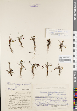
LE 01082171
Groups of specimens: Образцы сектора Сибири и Дальнего Востока России; Типовые образцы сектора Сибири и Дальнего Востока России; Соглашение Минобрнауки №075-15-2021-1056Record creation: 2022-01-26, Marina Yarichina, PhotoScan D2Citation: Specimen LE 01082171 // Virtual herbarium of Komarov Botanical Institute RAS — http://re.herbariumle.ru/01082171
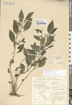
LE 01167644
Lysimachia sp. det. Averyanov, Leonid Vladimirovich at 01.03.2022
Collectors: Thai Van Trung; Luong Ngoc Toan; Avrorin, Nikolay Alexandrovich Field collecting number: Avrorin 10210. Collection date: 10.05.1963. Administrative regions: VN - Tinh Ninh Binh. Groups of specimens: L. V. Averyanov specimens; L. V. Averyanov herbarium; Соглашение Минобрнауки №075-15-2021-1056Original label text:FLORA OF VIETNAM
Record creation: 2022-01-26, Galina Savich, PhotoScan D2Citation: Specimen LE 01167644 // Virtual herbarium of Komarov Botanical Institute RAS — http://re.herbariumle.ru/01167644Solanum sp.
Ninh Binh Prov.
Avrorin 10210, 10.05.1963
Leg. Thai Van Trung, Luong Ngoc Toan, Avrorin N.
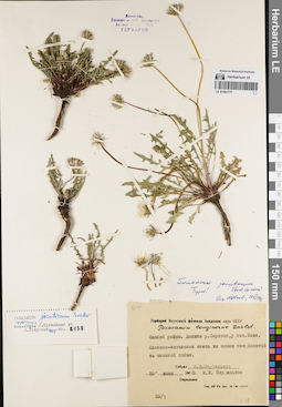
LE 01082170
Groups of specimens: Образцы сектора Сибири и Дальнего Востока России; Типовые образцы сектора Сибири и Дальнего Востока России; Соглашение Минобрнауки №075-15-2021-1056Record creation: 2022-01-26, Marina Yarichina, PhotoScan D2Citation: Specimen LE 01082170 // Virtual herbarium of Komarov Botanical Institute RAS — http://re.herbariumle.ru/01082170
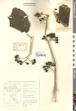
LE 01167643
Solanum sp. det. Avrorin, Nikolay Alexandrovich at 22.05.1963
Collectors: Thai Van Trung; Luong Ngoc Toan; Avrorin, Nikolay Alexandrovich Field collecting number: Avrorin 10088. Collection date: 22.05.1963. Administrative regions: VN - Tinh Ha Tinh. Groups of specimens: L. V. Averyanov specimens; L. V. Averyanov herbarium; Соглашение Минобрнауки №075-15-2021-1056Original label text:FLORA OF VIETNAM
Record creation: 2022-01-26, Galina Savich, PhotoScan D2. Processing status: work_status_1Citation: Specimen LE 01167643 // Virtual herbarium of Komarov Botanical Institute RAS — http://re.herbariumle.ru/01167643Solanaceae
Solanum sp.
Vietnam. Ha Tinh Prov. Avrorin 10088, 22.05.1963. Leg. Thai Van Trung, Luong Ngoc Toan, Avrorin N.
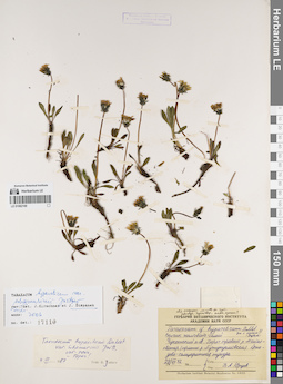
LE 01082169
Groups of specimens: Образцы сектора Сибири и Дальнего Востока России; Типовые образцы сектора Сибири и Дальнего Востока России; Соглашение Минобрнауки №075-15-2021-1056Record creation: 2022-01-26, Marina Yarichina, PhotoScan D2Citation: Specimen LE 01082169 // Virtual herbarium of Komarov Botanical Institute RAS — http://re.herbariumle.ru/01082169
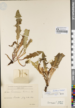
LE 01082168
Groups of specimens: Образцы сектора Сибири и Дальнего Востока России; Типовые образцы сектора Сибири и Дальнего Востока России; Соглашение Минобрнауки №075-15-2021-1056Record creation: 2022-01-26, Marina Yarichina, PhotoScan D2Citation: Specimen LE 01082168 // Virtual herbarium of Komarov Botanical Institute RAS — http://re.herbariumle.ru/01082168
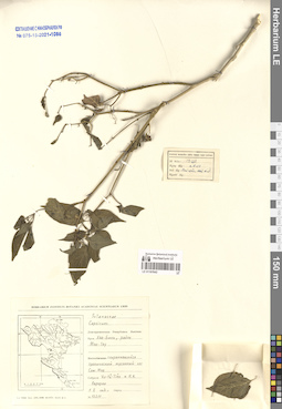
LE 01167642
Capsicum sp. det. Avrorin, Nikolay Alexandrovich at 01.05.1963
Collectors: Avrorin, Nikolay Alexandrovich; Vu Tu Tien Field collecting number: Avrorin 12211. Collection date: 01.05.1963. Administrative regions: VN - Tinh Hoa Binh. Groups of specimens: L. V. Averyanov specimens; L. V. Averyanov herbarium; Соглашение Минобрнауки №075-15-2021-1056Original label text:FLORA OF VIETNAM
Record creation: 2022-01-26, Galina Savich, PhotoScan D2. Processing status: work_status_1Citation: Specimen LE 01167642 // Virtual herbarium of Komarov Botanical Institute RAS — http://re.herbariumle.ru/01167642Solanaceae
Capsicum sp.
Hoa Binh Prov. Avrorin 12211, 01.05.1963. Leg. Avrorin N.,Vu Tu Tien
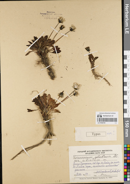
LE 01082165
Groups of specimens: Образцы сектора Сибири и Дальнего Востока России; Типовые образцы сектора Сибири и Дальнего Востока России; Соглашение Минобрнауки №075-15-2021-1056Record creation: 2022-01-26, Marina Yarichina, PhotoScan D2Citation: Specimen LE 01082165 // Virtual herbarium of Komarov Botanical Institute RAS — http://re.herbariumle.ru/01082165
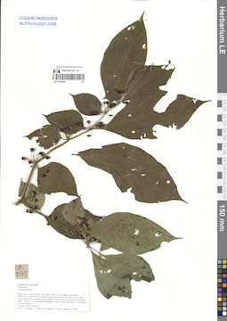
LE 01167641
Tubocapsicum sp. det. Averyanov, Leonid Vladimirovich at 01.10.2016
Collectors: Averyanov, Leonid Vladimirovich; Tien Hiep Nguyen; Khang Sinh Nguyen; et al. Field collecting number: CPC8775. Collection date: 01.10.2016. Administrative regions: VN - Tinh Son La. Groups of specimens: L. V. Averyanov specimens; L. V. Averyanov herbarium; Соглашение Минобрнауки №075-15-2021-1056Original label text:FLORA OF VIETNAM
Solanaceae
Tubocapsicum sp.
Son La Prov. CPC 8775, 01.10.2016. Coll. Averyanov L., Tien Hiep Nguyen, Khang Sinh Nguyen
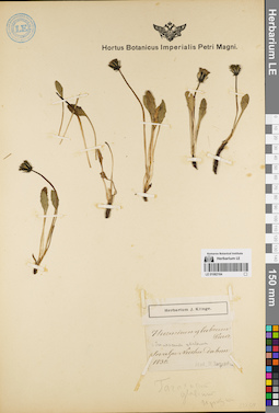
LE 01082164
Groups of specimens: Образцы сектора Сибири и Дальнего Востока России; Типовые образцы сектора Сибири и Дальнего Востока России; Соглашение Минобрнауки №075-15-2021-1056Record creation: 2022-01-26, Marina Yarichina, PhotoScan D2Citation: Specimen LE 01082164 // Virtual herbarium of Komarov Botanical Institute RAS — http://re.herbariumle.ru/01082164
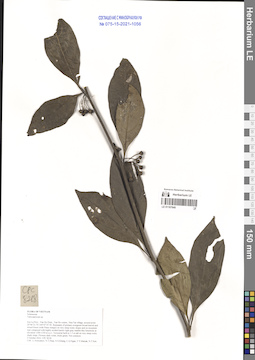
LE 01167640
Tubocapsicum sp. det. Averyanov, Leonid Vladimirovich at 02.10.2016
Collectors: Averyanov, Leonid Vladimirovich; et al. Field collecting number: CPC8218. Collection date: 02.10.2016. Administrative regions: VN - Tinh Son La. Groups of specimens: L. V. Averyanov specimens; L. V. Averyanov herbarium; Соглашение Минобрнауки №075-15-2021-1056Original label text:FLORA OF VIETNAM
Solanaceae
Tubocapsicum sp.
Son La Prov., Van Ho Distr., Van Ho comm., Hua Tat village, around point 20°46′21.7N 104°47′47.5E.
Remnants of primary evergreen broad-leaved and mixed forest (with Pinus wangii) on very steep rocky slopes and on mountain tops composed with highly eroded karstic light gray marble-like limestone at elevation 1300-1350 m a.s.l.
Terrestrial herb to 1.5 m tall on very steep rocky shady slope. Flowers dark violet, fruits green. Not common.
2 October 2016 CPC 8218
Coll.: L.Averyanov, N.T.Hiep, N.S.Khang, C.Q.Ngan, T.V.Maisak, N.T.Son.
Coordinates (geographic position): 20° 46′ 21.7″ N, 104° 47′ 47.5″ E ±1000 mRecord creation: 2022-01-26, Galina Savich, PhotoScan D2. Processing status: work_status_1Citation: Specimen LE 01167640 // Virtual herbarium of Komarov Botanical Institute RAS — http://re.herbariumle.ru/01167640Solanaceae
Tubocapsicum sp.
Son La Prov., Van Ho Distr., Van Ho comm., Hua Tat village, around point 20°46′21.7N 104°47′47.5E.
Remnants of primary evergreen broad-leaved and mixed forest (with Pinus wangii) on very steep rocky slopes and on mountain tops composed with highly eroded karstic light gray marble-like limestone at elevation 1300-1350 m a.s.l.
Terrestrial herb to 1.5 m tall on very steep rocky shady slope. Flowers dark violet, fruits green. Not common.
2 October 2016 CPC 8218
Coll.: L.Averyanov, N.T.Hiep, N.S.Khang, C.Q.Ngan, T.V.Maisak, N.T.Son.
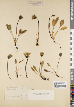
LE 01082163
Groups of specimens: Образцы сектора Сибири и Дальнего Востока России; Типовые образцы сектора Сибири и Дальнего Востока России; Соглашение Минобрнауки №075-15-2021-1056Record creation: 2022-01-26, Marina Yarichina, PhotoScan D2Citation: Specimen LE 01082163 // Virtual herbarium of Komarov Botanical Institute RAS — http://re.herbariumle.ru/01082163
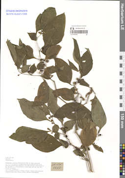
LE 01167639
Tubocapsicum sp. det. Averyanov, Leonid Vladimirovich at 25.03.2017
Collectors: Averyanov, Leonid Vladimirovich; et al. Field collecting number: LA-VN1653. Collection date: 25.03.2017. Administrative regions: LA - Vientiane Province. Groups of specimens: L. V. Averyanov specimens; L. V. Averyanov herbarium; Соглашение Минобрнауки №075-15-2021-1056Original label text:FLORA OF LAOS
Solanaceae
Tubocapsicum sp.
Vientiane prov., Kasi distr., between San and Tham Tai villages, around point 19°17′47.9′'N 102°08′58.9′'E.
Secondary broad-leaved evergreen dry forest on very steep rocky mountain slopes composed by solid marble like highly eroded limestone at elev. 900-1000 m a.s.l.
Terrestrial herb to 1 m tall in rather open rocky slope. Ripe fruits red. Not common.
LA-VN 1653 25 March 2017
Coll.: L.Averyanov, N.T.Hiep, N.S.Khang, C.Q.Ngan, T.Maisak, Khamla Inkhavilay, Hongthong Southyvohanh, Pinmany Sisavath, Chanthala Cheuaysamphanh.
Coordinates (geographic position): 19° 17′ 47.9″ N, 102° 8′ 58.9″ E ±1000 mRecord creation: 2022-01-26, Galina Savich, PhotoScan D2. Processing status: work_status_1Citation: Specimen LE 01167639 // Virtual herbarium of Komarov Botanical Institute RAS — http://re.herbariumle.ru/01167639Solanaceae
Tubocapsicum sp.
Vientiane prov., Kasi distr., between San and Tham Tai villages, around point 19°17′47.9′'N 102°08′58.9′'E.
Secondary broad-leaved evergreen dry forest on very steep rocky mountain slopes composed by solid marble like highly eroded limestone at elev. 900-1000 m a.s.l.
Terrestrial herb to 1 m tall in rather open rocky slope. Ripe fruits red. Not common.
LA-VN 1653 25 March 2017
Coll.: L.Averyanov, N.T.Hiep, N.S.Khang, C.Q.Ngan, T.Maisak, Khamla Inkhavilay, Hongthong Southyvohanh, Pinmany Sisavath, Chanthala Cheuaysamphanh.
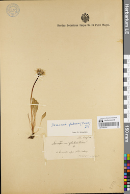
LE 01082162
Groups of specimens: Образцы сектора Сибири и Дальнего Востока России; Типовые образцы сектора Сибири и Дальнего Востока России; Соглашение Минобрнауки №075-15-2021-1056Record creation: 2022-01-26, Marina Yarichina, PhotoScan D2Citation: Specimen LE 01082162 // Virtual herbarium of Komarov Botanical Institute RAS — http://re.herbariumle.ru/01082162
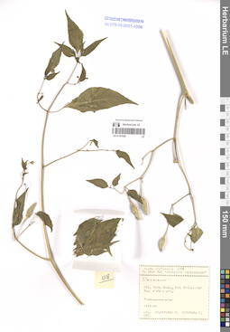
LE 01167638
Capsicum sp. det. Averyanov, Leonid Vladimirovich at 20.10.1990
Collectors: Kudryavtzeva, Ekaterina Petrovna; Ogureeva G. Field collecting number: Kudryavtzeva 1118. Collection date: 20.10.1990. Administrative regions: VN - Tinh Quang Ninh. Groups of specimens: L. V. Averyanov specimens; L. V. Averyanov herbarium; Соглашение Минобрнауки №075-15-2021-1056Original label text:FLORA OF VIETNAM
Record creation: 2022-01-26, Galina Savich, PhotoScan D2. Processing status: work_status_1Citation: Specimen LE 01167638 // Virtual herbarium of Komarov Botanical Institute RAS — http://re.herbariumle.ru/011676387 РЕЙС НИС " ПРОФЕССОР ГАГАРИНСКИЙ"
Solanaceae
Capsicum sp.
Quang Ninh Prov. Kudryavtzeva 1118 , 20.10.1990. Leg. Kudryavtzeva E., Ogureeva G.
Det. Averyanov L.
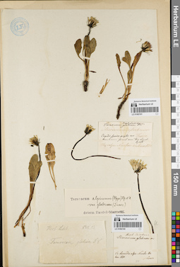
LE 01082161
Groups of specimens: Образцы сектора Сибири и Дальнего Востока России; Типовые образцы сектора Сибири и Дальнего Востока России; Соглашение Минобрнауки №075-15-2021-1056Record creation: 2022-01-26, Marina Yarichina, PhotoScan D2Citation: Specimen LE 01082161 // Virtual herbarium of Komarov Botanical Institute RAS — http://re.herbariumle.ru/01082161
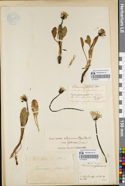
LE 01082160
Groups of specimens: Образцы сектора Сибири и Дальнего Востока России; Типовые образцы сектора Сибири и Дальнего Востока России; Соглашение Минобрнауки №075-15-2021-1056Record creation: 2022-01-26, Marina Yarichina, PhotoScan D2Citation: Specimen LE 01082160 // Virtual herbarium of Komarov Botanical Institute RAS — http://re.herbariumle.ru/01082160
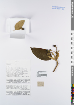
LE 01167637
Solanum sp. det. D.K. Harder at 12.02.2001
Collectors: D.K. Harder; et al. Field collecting number: DKH6208. Collection date: 12.02.2001. Administrative regions: VN - Tinh Ha Giang. Groups of specimens: L. V. Averyanov specimens; L. V. Averyanov herbarium; Соглашение Минобрнауки №075-15-2021-1056Original label text:FLORA OF VIETNAM
Solanaceae
Solanum sp.
Ha Giang Prov. DKH 6208, 12.02.2001. D.K. Harder et.al.
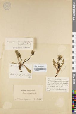
LE 01082159
Groups of specimens: Образцы сектора Сибири и Дальнего Востока России; Типовые образцы сектора Сибири и Дальнего Востока России; Соглашение Минобрнауки №075-15-2021-1056Record creation: 2022-01-26, Marina Yarichina, PhotoScan D2Citation: Specimen LE 01082159 // Virtual herbarium of Komarov Botanical Institute RAS — http://re.herbariumle.ru/01082159
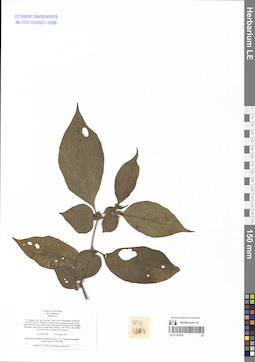
LE 01167636
Solanum sp. det. Averyanov, Leonid Vladimirovich at 21.05.1999
Collectors: Tien Hiep Nguyen; et al. Field collecting number: NTH2664. Collection date: 21.05.1999. Administrative regions: VN - Tinh Lao Cai. Groups of specimens: L. V. Averyanov specimens; L. V. Averyanov herbarium; Соглашение Минобрнауки №075-15-2021-1056Original label text:FLORA OF VIETNAM
Solanaceae
Solanum sp.
N. Vietnam, prov. Lao Cai, distr. Than Uyen, municipality Ho Mit (N 22°06′ E 103°52′). Elevation to Mang Han San quartzite peak by SW slope from Ban Thao village (SSW macroslope of Hoang Lien Son ridge). Secondary open forest on steep rocky slope at 1300-1400 m elev. Shrub 2-3 m hg in open wet place. Not common.
Coordinates (geographic position): 22° 6′ N, 103° 52′ E ±1000 mRecord creation: 2022-01-26, Galina Savich, PhotoScan D2. Processing status: work_status_1Citation: Specimen LE 01167636 // Virtual herbarium of Komarov Botanical Institute RAS — http://re.herbariumle.ru/01167636Solanaceae
Solanum sp.
N. Vietnam, prov. Lao Cai, distr. Than Uyen, municipality Ho Mit (N 22°06′ E 103°52′). Elevation to Mang Han San quartzite peak by SW slope from Ban Thao village (SSW macroslope of Hoang Lien Son ridge). Secondary open forest on steep rocky slope at 1300-1400 m elev. Shrub 2-3 m hg in open wet place. Not common.
NTH 2664 21-22 May 1999
International Botanical Expedition of the U.S.A. National Geographic Society (grant No 6300-98)
Collectors: N.T.Hiep, P.H.Hoang, Averyanov L.
International Botanical Expedition of the U.S.A. National Geographic Society (grant No 6300-98)
Collectors: N.T.Hiep, P.H.Hoang, Averyanov L.
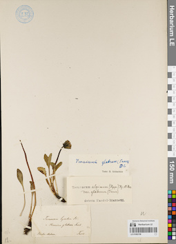
LE 01082158
Groups of specimens: Образцы сектора Сибири и Дальнего Востока России; Типовые образцы сектора Сибири и Дальнего Востока России; Соглашение Минобрнауки №075-15-2021-1056Record creation: 2022-01-26, Marina Yarichina, PhotoScan D2Citation: Specimen LE 01082158 // Virtual herbarium of Komarov Botanical Institute RAS — http://re.herbariumle.ru/01082158
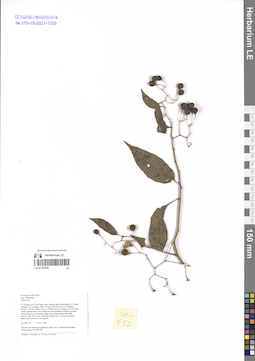
LE 01167635
Solanum sp. det. Averyanov, Leonid Vladimirovich at 21.11.1998
Collectors: Averyanov, Leonid Vladimirovich; et al. Field collecting number: CBL552. Collection date: 21.11.1998. Administrative regions: VN - Tinh Cao Bang. Groups of specimens: L. V. Averyanov specimens; L. V. Averyanov herbarium; Соглашение Минобрнауки №075-15-2021-1056Original label text:FLORA OF VIETNAM
Solanaceae
Solanum sp.
N. Vietnam, prov. Cao Bang, distr. Nguyen Binh, municipality Ca Thanh, vicinities Ca Lu village, about 7-8 km to SE from Yen Lac village (N 22°44′ E 105°50′), about 38 km to NWW from Cao Bang town. Old open mixed semideciduous and coniferous (with Pseudotsuga brevifolia) primary forest along tops of limestone ridge and on steep slopes near ridge tops at 1350-1450 m alt. Climbing shrublet up to 2 m lg in wet open place. Ripe fruits red. Not common.
CBL 552 21 Nov. 1998
International Botanical Expedition of the U.S.A. National Geographic Society (grant No 6300-98)
Collectors: Averyanov L., P.K.Loc, N.X.Tam.
Coordinates (geographic position): 22° 44′ N, 105° 50′ E ±1000 mRecord creation: 2022-01-26, Galina Savich, PhotoScan D2. Processing status: work_status_1Citation: Specimen LE 01167635 // Virtual herbarium of Komarov Botanical Institute RAS — http://re.herbariumle.ru/01167635Solanaceae
Solanum sp.
N. Vietnam, prov. Cao Bang, distr. Nguyen Binh, municipality Ca Thanh, vicinities Ca Lu village, about 7-8 km to SE from Yen Lac village (N 22°44′ E 105°50′), about 38 km to NWW from Cao Bang town. Old open mixed semideciduous and coniferous (with Pseudotsuga brevifolia) primary forest along tops of limestone ridge and on steep slopes near ridge tops at 1350-1450 m alt. Climbing shrublet up to 2 m lg in wet open place. Ripe fruits red. Not common.
CBL 552 21 Nov. 1998
International Botanical Expedition of the U.S.A. National Geographic Society (grant No 6300-98)
Collectors: Averyanov L., P.K.Loc, N.X.Tam.
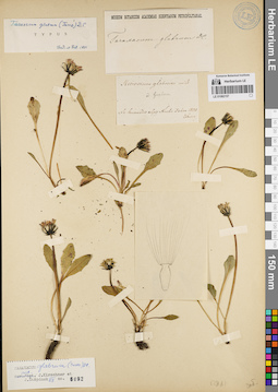
LE 01082157
Groups of specimens: Образцы сектора Сибири и Дальнего Востока России; Типовые образцы сектора Сибири и Дальнего Востока России; Соглашение Минобрнауки №075-15-2021-1056Record creation: 2022-01-26, Marina Yarichina, PhotoScan D2Citation: Specimen LE 01082157 // Virtual herbarium of Komarov Botanical Institute RAS — http://re.herbariumle.ru/01082157
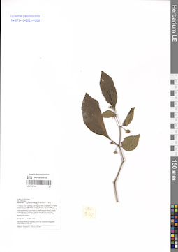
LE 01167634
Solanum sp. det. Averyanov, Leonid Vladimirovich at 21.11.1998
Collectors: Averyanov, Leonid Vladimirovich; et al. Field collecting number: CBL547. Collection date: 21.11.1998. Administrative regions: VN - Tinh Cao Bang. Groups of specimens: L. V. Averyanov specimens; L. V. Averyanov herbarium; Соглашение Минобрнауки №075-15-2021-1056Original label text:FLORA OF VIETNAM
Solanaceae
Solanum sp.
N. Vietnam, prov. Cao Bang, distr. Nguyen Binh, municipality Ca Thanh, vicinities Ca Lu village, about 7-8 km to SE from Yen Lac village (N 22°44′ E 105°50′), about 38 km to NWW from Cao Bang town. Old open mixed semideciduous and coniferous (with Pseudotsuga brevifolia) primary forest along tops of limestone ridge and on steep slopes near ridge tops at 1350-1450 m alt. Shrublet up to 1.5 m hg in open place. Ripe fruits red. Not common.
CBL 547 21 Nov. 1998
International Botanical Expedition of the U.S.A. National Geographic Society (grant No 6300-98)
Collectors: Averyanov L., P.K.Loc, N.X.Tam.
Coordinates (geographic position): 22° 44′ N, 105° 50′ E ±1000 mRecord creation: 2022-01-26, Galina Savich, PhotoScan D2. Processing status: work_status_1Citation: Specimen LE 01167634 // Virtual herbarium of Komarov Botanical Institute RAS — http://re.herbariumle.ru/01167634Solanaceae
Solanum sp.
N. Vietnam, prov. Cao Bang, distr. Nguyen Binh, municipality Ca Thanh, vicinities Ca Lu village, about 7-8 km to SE from Yen Lac village (N 22°44′ E 105°50′), about 38 km to NWW from Cao Bang town. Old open mixed semideciduous and coniferous (with Pseudotsuga brevifolia) primary forest along tops of limestone ridge and on steep slopes near ridge tops at 1350-1450 m alt. Shrublet up to 1.5 m hg in open place. Ripe fruits red. Not common.
CBL 547 21 Nov. 1998
International Botanical Expedition of the U.S.A. National Geographic Society (grant No 6300-98)
Collectors: Averyanov L., P.K.Loc, N.X.Tam.
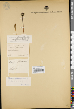
LE 01082156
Groups of specimens: Образцы сектора Сибири и Дальнего Востока России; Типовые образцы сектора Сибири и Дальнего Востока России; Соглашение Минобрнауки №075-15-2021-1056Record creation: 2022-01-26, Marina Yarichina, PhotoScan D2Citation: Specimen LE 01082156 // Virtual herbarium of Komarov Botanical Institute RAS — http://re.herbariumle.ru/01082156
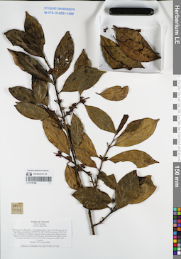
LE 01167488
Garcinia fagraeoides A.Chev. det. Averyanov, Leonid Vladimirovich at 10.06.2004
Collectors: Averyanov, Leonid Vladimirovich; et al. Field collecting number: HAL5533. Collection date: 10.06.2004. Administrative regions: VN - Tinh Cao Bang. Groups of specimens: L. V. Averyanov specimens; L. V. Averyanov herbarium; Соглашение Минобрнауки №075-15-2021-1056Original label text:FLORA OF VIETNAM
Clusiaceae
Garcinia fagreoides
N.Vietnam, Cao Bang Prov., Trung Khanh Distr., Ngoc Khe Municipality, Pac Nga village, around point 22°54′59′'N, 106°31′44′'E, at elevation 700-750 m a.s.l. Secondary wet closed evergreen forest on steep rocky slopes of rocky ridges and mesae composed with light gray solid marble-like highly eroded crystalline limestone.
Tree up to 20 m tall. Young leaves dirty violet. Common. HAL 5533 10 June 2004
Collectors: L.Averyanov, P.K.Loc, P.V.The, N.T.Vinh.
Coordinates (geographic position): 22° 54′ 59″ N, 106° 31′ 44″ E ±1000 mRecord creation: 2022-01-26, Galina Savich, PhotoScan D2. Processing status: work_status_1Citation: Specimen LE 01167488 // Virtual herbarium of Komarov Botanical Institute RAS — http://re.herbariumle.ru/01167488Clusiaceae
Garcinia fagreoides
N.Vietnam, Cao Bang Prov., Trung Khanh Distr., Ngoc Khe Municipality, Pac Nga village, around point 22°54′59′'N, 106°31′44′'E, at elevation 700-750 m a.s.l. Secondary wet closed evergreen forest on steep rocky slopes of rocky ridges and mesae composed with light gray solid marble-like highly eroded crystalline limestone.
Tree up to 20 m tall. Young leaves dirty violet. Common. HAL 5533 10 June 2004
Collectors: L.Averyanov, P.K.Loc, P.V.The, N.T.Vinh.
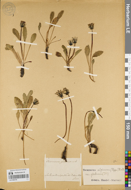
LE 01082155
Groups of specimens: Образцы сектора Сибири и Дальнего Востока России; Типовые образцы сектора Сибири и Дальнего Востока России; Соглашение Минобрнауки №075-15-2021-1056Record creation: 2022-01-26, Marina Yarichina, PhotoScan D2Citation: Specimen LE 01082155 // Virtual herbarium of Komarov Botanical Institute RAS — http://re.herbariumle.ru/01082155
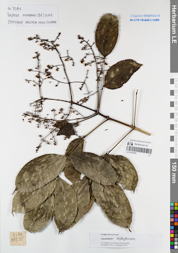
LE 01167487
Turpinia montana Kurz det. Nguyen Huu Cuong at 29.03.2018
Collectors: Takhtajan, Armen Leonovich. Field collecting number: Takhtajan 8574. Collection date: 29.01.1975. Administrative regions: VN - Vietnam. Groups of specimens: L. V. Averyanov specimens; L. V. Averyanov herbarium; Соглашение Минобрнауки №075-15-2021-1056Original label text:FLORA OF VIETNAM
Record creation: 2022-01-26, Galina Savich, PhotoScan D2Citation: Specimen LE 01167487 // Virtual herbarium of Komarov Botanical Institute RAS — http://re.herbariumle.ru/01167487Turpinia montana Kurz.
Vietnam, Cuc Phuong National Park.
Takhtajan 8574, 29.01.1975
Det. Nguyen Huu Cuong
29.03.2018
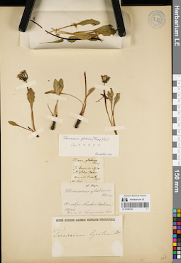
LE 01082154
Groups of specimens: Образцы сектора Сибири и Дальнего Востока России; Типовые образцы сектора Сибири и Дальнего Востока России; Соглашение Минобрнауки №075-15-2021-1056Record creation: 2022-01-26, Marina Yarichina, PhotoScan D2Citation: Specimen LE 01082154 // Virtual herbarium of Komarov Botanical Institute RAS — http://re.herbariumle.ru/01082154