View
Add
Copy
Edit
Delete
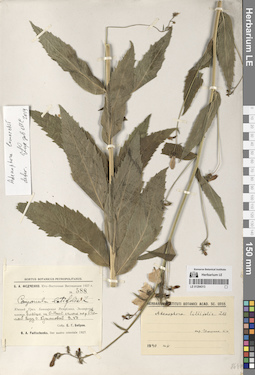
LE 01294313
Adenophora liliifolia (L.) A. DC. det. Igoschina, Kapitolina Nikolaevna at 1940
Collectors: Bobrov, Evgeniy Grigorievich Field collecting number: 588. Collection date: 03.07.1927. Administrative regions: RU - Bashkortostan - Burzyanskiy Rayon. Groups of specimens: Образцы сектора Восточной ЕвропыOriginal label text:Южный Урал. Башкирская республика, Зилаирский кантон. Ельник на СВ склоне по реке Белой близ деревни Кутановой.
Coordinates (geographic position): 52° 58′ 50.58″ N, 57° 2′ 47.49″ EComment: 3.VII.1927
Е. Г. Бобров
Southern Urals. Bashkir Republic, Zilairsky canton. Spruce forest on the NE slope along the Belaya River near the village of Kutanovo.
Record creation: 2024-08-10, Daria Yudova, PhotoScan D2.Citation: Specimen LE 01294313 // Virtual herbarium of Komarov Botanical Institute RAS — http://re.herbariumle.ru/01294313№ 588
3.07.1927
Coll. E. G. Bobrov
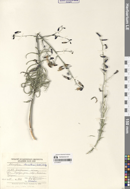
LE 01294217
Adenophora stenanthina (Ledeb.) Kitag. det. Kamelin, Rudolph Vladimirovich
Collectors: Darijma, Sh.; Kamelin, Rudolph Vladimirovich Field collecting number: 902. Collection date: 13.08.1984. Administrative regions: MN - Mongolia. Groups of specimens: Образцы сектора Центральной и Восточной Азии; Соглашение Минобрнауки №075-15-2021-1056Original label text:МНР, Центральный аймак, горы Унджул-ула, северо-восточнее Унджула.
Coordinates (geographic position): 46° 53′ 13.49″ N, 105° 48′ 20.88″ EComment: № 902
13.08.1984
Ш. Дариймаа, Р. В. Камелин
Mongolia. Central province, Unjul-ula mountains, northeast of Unjul.
Record creation: 2024-08-09, Daria Yudova, PhotoScan D2.Citation: Specimen LE 01294217 // Virtual herbarium of Komarov Botanical Institute RAS — http://re.herbariumle.ru/01294217№ 902
13.08.1984
Coll. Sh. Darijma, R. V. Kamelin
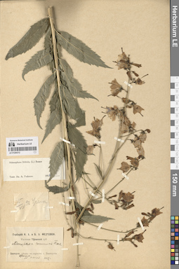
LE 01294312
Adenophora liliifolia (L.) A. DC. det. Fedorov, Andrey Aleksandrovich at 1954
Collectors: Fedtschenko, Olga Alexandrowna; Fedtschenko, Boris Alexeevich Collection date: 15.07.1892. Administrative regions: RU - Chelyabinskaya Oblast'. Groups of specimens: Образцы сектора Восточной ЕвропыOriginal label text:Златоустовский уезд: в окрестностях города Златоуста. Уренга.
Coordinates (geographic position): 55° 3′ 31.35″ N, 59° 32′ 3.91″ EComment: 15 июля 1892 г.
О. А. и Б. А. Федченко
Zlatoust district: in the vicinity of the city of Zlatoust. Urenga.
Record creation: 2024-08-10, Daria Yudova, PhotoScan D2.Citation: Specimen LE 01294312 // Virtual herbarium of Komarov Botanical Institute RAS — http://re.herbariumle.ru/0129431215.07.1892
Coll. O. A. and B. A. Fedtschenko
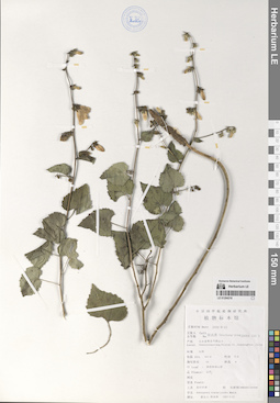
LE 01294216
Adenophora trachelioides auct.
Administrative regions: CN - China. Groups of specimens: Образцы сектора Центральной и Восточной Азии; Соглашение Минобрнауки №075-15-2021-1056Record creation: 2024-08-09, Daria Yudova, PhotoScan D2.Citation: Specimen LE 01294216 // Virtual herbarium of Komarov Botanical Institute RAS — http://re.herbariumle.ru/01294216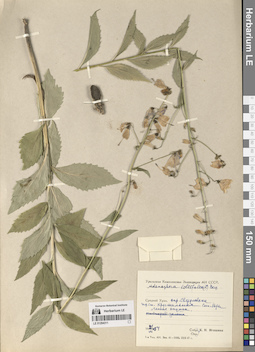
LE 01294311
Adenophora liliifolia (L.) A. DC.
Collectors: Igoschina, Kapitolina Nikolaevna Collection date: 21.07.1954. Administrative regions: RU - Sverdlovskaya Oblast'. Groups of specimens: Образцы сектора Восточной ЕвропыOriginal label text:Средний Урал. Окрестности Свердловска. Жд станция Хрустальная. Сосновые боры. Лесная опушка.
Coordinates (geographic position): 56° 51′ 32.24″ N, 60° 11′ 5.68″ EComment: 21.VII.1954
К. Н. Игошина
Middle Urals. Sverdlovsk environs. Khrustalnaya railway station. Pine forests. Forest edge.
Record creation: 2024-08-10, Daria Yudova, PhotoScan D2.Citation: Specimen LE 01294311 // Virtual herbarium of Komarov Botanical Institute RAS — http://re.herbariumle.ru/0129431121.07.1954
Coll. K. N. Igoschina
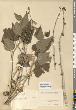
LE 01294215
Adenophora trachelioides auct.
Collectors: Basilewsky, Stepan Ivanovich Field collecting number: 233. Groups of specimens: Образцы сектора Центральной и Восточной Азии; Соглашение Минобрнауки №075-15-2021-1056Original label text:№ 233
Comment: Лин-дян-хун
Китай: провинция Чжили, окрестности Пекина, горы Похуашань.
1850-1858.
Собрал С. И. Базилевский
№ 233 Lin-dian-hong
Record creation: 2024-08-09, Daria Yudova, PhotoScan D2.Citation: Specimen LE 01294215 // Virtual herbarium of Komarov Botanical Institute RAS — http://re.herbariumle.ru/01294215China: Zhili province, environs of Beijing, Pohuashan mountains.
1850-1858.
Collected by S. I. Bazilevsky
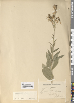
LE 01294310
Adenophora liliifolia (L.) A. DC. det. Fedorov, Andrey Aleksandrovich at 1954
Collectors: Panfiljev G. Collection date: 27.07.1898. Administrative regions: RU - Chelyabinskaya Oblast' - Gorod Chelyabinsk. Groups of specimens: Образцы сектора Восточной ЕвропыOriginal label text:Березняк у Челябинска.
Coordinates (geographic position): 55° 8′ 23.54″ N, 61° 20′ 52.55″ EComment: 27.VII.1898
Г. Панфильев
Bereznyak near Chelyabinsk.
Record creation: 2024-08-10, Daria Yudova, PhotoScan D2.Citation: Specimen LE 01294310 // Virtual herbarium of Komarov Botanical Institute RAS — http://re.herbariumle.ru/0129431027.07.1898
Coll. G. Panfiljev
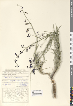
LE 01294214
Adenophora stenanthina (Ledeb.) Kitag. det. Grubov, Valery Ivanovich
Field collecting number: 358. Collection date: 18.07.1970. Administrative regions: MN - Mongolia. Groups of specimens: Образцы сектора Центральной и Восточной Азии; Соглашение Минобрнауки №075-15-2021-1056Original label text:Архангайский аймак. В 4 км к СВ от Тэвшрулэха. Разнотравно-овсецовая степь на шлейфе.
Coordinates (geographic position): 47° 24′ 52.91″ N, 101° 59′ 23.33″ EComment: № 358
18.VII.1970
Д. Банзрагч, З. В. Карамышева, Е. М. Лавренко, Н. Манибазар
Arkhangai aimak. 4 km NE from Tuvshrulekh. Forb-oat steppe.
Record creation: 2024-08-09, Daria Yudova, PhotoScan D2.Citation: Specimen LE 01294214 // Virtual herbarium of Komarov Botanical Institute RAS — http://re.herbariumle.ru/01294214№ 358
18.07.1970
Coll. D. Banzragch, Z. V. Karamysheva, E. M. Lavrenko, N. Manibazar
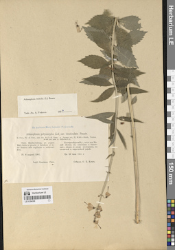
LE 01294309
Adenophora liliifolia (L.) A. DC. det. Fedorov, Andrey Aleksandrovich at 1954
Collectors: Kler, Onisim Egorovich Collection date: 08.08.1901. Administrative regions: RU - Sverdlovskaya Oblast' - Municipalnoe obrazovanie «gorod Ekaterinburg». Groups of specimens: Образцы сектора Восточной ЕвропыOriginal label text:Distr. Ekatherinburg, pr. pagum Maly-Istok in pinetis et betulinis et inter dumeta solo argillaceo v. subhumifero.
Coordinates (geographic position): 56° 46′ 30.8″ N, 60° 49′ 38.5″ ERecord creation: 2024-08-10, Daria Yudova, PhotoScan D2.Citation: Specimen LE 01294309 // Virtual herbarium of Komarov Botanical Institute RAS — http://re.herbariumle.ru/01294309Fl. 8 augusti 1901
Onesimus Clerc.
Екатеринбургский уезд, около деревни Малый Исток в сосновых и березовых лесах и среди кустарника, на глинистой и перегнойной почве.
Цв. 26 июля 1901 г.
О. Е. Клер
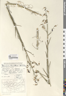
LE 01294213
Adenophora stenanthina (Ledeb.) Kitag. det. Grubov, Valery Ivanovich
Collectors: Golubkova, Nina Siergeovna; Tsetsegma, D.; U. Tsogt Field collecting number: 292. Collection date: 14.07.1974. Administrative regions: MN - Mongolia. Groups of specimens: Образцы сектора Центральной и Восточной Азии; Соглашение Минобрнауки №075-15-2021-1056Original label text:Монгольская Народная Республика.
Comment: Хэнтэйский аймак, сомон Хэнтэй.
Монг.-Даур., долина реки Хурахот-гол, г. Эрдэне-Цогт-ула, H = 1500 м. Разнотравная горная степь.
№ 292.
14.VII.1974
Н. С. Голубкова, У. Цогт, Д. Цэцэгмаа
Mongolia. Khentei aimak, Khentei somon. Khurahot-gol river valley, Erdene-Tsogt-ula mountain, H = 1500 m. Mountain steppe with mixed grasses.
Record creation: 2024-08-09, Daria Yudova, PhotoScan D2.Citation: Specimen LE 01294213 // Virtual herbarium of Komarov Botanical Institute RAS — http://re.herbariumle.ru/01294213№ 292.
14.07.1974
Coll. N. S. Golubkova, U. Tsogt, D. Tsetsegma,
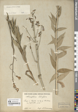
LE 01294308
Adenophora liliifolia (L.) A. DC. det. Fedorov, Andrey Aleksandrovich at 1954
Collectors: Ostankow, A. Collection date: 06.1891. Administrative regions: RU - Tatarstan - Gorod Kazan'. Groups of specimens: Образцы сектора Восточной ЕвропыOriginal label text:Близ города Казани по берегу озера Кабан у "Чортовы углы".
Coordinates (geographic position): 55° 44′ 23.33″ N, 49° 9′ 4.65″ EComment: VI.1891
А. Останков
Near the city of Kazan, on the shore of Lake Kaban, at the "Devil's Corners".
Record creation: 2024-08-10, Daria Yudova, PhotoScan D2.Citation: Specimen LE 01294308 // Virtual herbarium of Komarov Botanical Institute RAS — http://re.herbariumle.ru/0129430806.1891
Coll. A. Ostankow
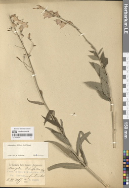
LE 01294307
Adenophora liliifolia (L.) A. DC. det. Fedorov, Andrey Aleksandrovich at 1954
Collection date: 16.07.1897. Administrative regions: RU - Respublika Mariy-El. Groups of specimens: Образцы сектора Восточной ЕвропыOriginal label text:Prov. Kasan d. Kosmodemjansk. Pr. Korotni, in fruticetis.
Coordinates (geographic position): 56° 21′ 39.99″ N, 46° 32′ 34.84″ ERecord creation: 2024-08-10, Daria Yudova, PhotoScan D2.Citation: Specimen LE 01294307 // Virtual herbarium of Komarov Botanical Institute RAS — http://re.herbariumle.ru/0129430716.VII.1897
A. Busch
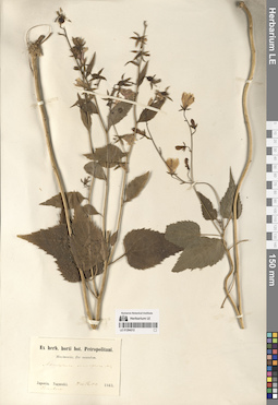
LE 01294212
Adenophora remotiflora (Siebold & Zucc.) Miq.
Collectors: Maximowicz, Carl Johann Collection date: 09.09.1863. Administrative regions: JP - Japan. Groups of specimens: Образцы сектора Центральной и Восточной Азии; Соглашение Минобрнауки №075-15-2021-1056Original label text:Japonia. Nagasaki. Simabara.
Record creation: 2024-08-09, Daria Yudova, PhotoScan D2.Citation: Specimen LE 01294212 // Virtual herbarium of Komarov Botanical Institute RAS — http://re.herbariumle.ru/012942129/21 Sept. 1863
Maximowicz
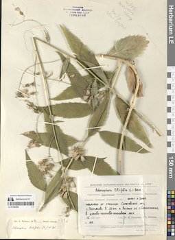
LE 01294306
Adenophora liliifolia (L.) A. DC. det. Fedorov, Andrey Aleksandrovich at 1976
Collectors: Gladkova, Valentina Nikolaevna; Leonova, Tamara Geogrievna Field collecting number: 169. Collection date: 13.08.1970. Administrative regions: RU - Voronezhskaya Oblast' - Borisoglebsky Urban Okrug. Groups of specimens: Образцы сектора Восточной ЕвропыOriginal label text:Воронежская область. Берег реки Хопер недалеко от границы Саратовской области, село Третьяково [= Третьяки] в 35 км к востоку от города Борисоглебска, в дубово-тополево-кленовом лесу.
Coordinates (geographic position): 51° 23′ 20.53″ N, 42° 28′ 59.16″ EComment: № 169
13.VIII.1970
В. Н. Гладкова, Т. Г. Леонова
Voronezh Region. Bank of the Khoper River near the border of Saratov Region, village of Tretyakovo [= Tretyaki] 35 km east of the city of Borisoglebsk, in an oak-poplar-maple forest.
Record creation: 2024-08-10, Daria Yudova, PhotoScan D2.Citation: Specimen LE 01294306 // Virtual herbarium of Komarov Botanical Institute RAS — http://re.herbariumle.ru/01294306№ 169
13.08.1970
Coll. V. N. Gladkova, T. G. Leonova
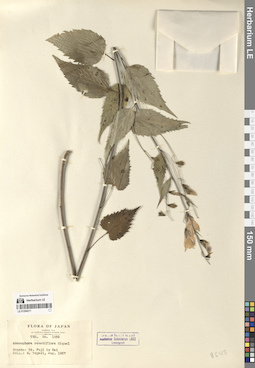
LE 01294211
Adenophora remotiflora (Siebold & Zucc.) Miq.
Field collecting number: 1552. Collection date: 08.1957. Administrative regions: JP - Japan. Groups of specimens: Образцы сектора Центральной и Восточной Азии; Соглашение Минобрнауки №075-15-2021-1056Original label text:Honsu: Mt. Fudji in Kai
Record creation: 2024-08-09, Daria Yudova, PhotoScan D2.Citation: Specimen LE 01294211 // Virtual herbarium of Komarov Botanical Institute RAS — http://re.herbariumle.ru/01294211Aug. 1957
M. Togasi
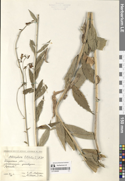
LE 01294305
Adenophora liliifolia (L.) A. DC.
Collectors: Lavrenko, Eugeny Mikhailovic Collection date: 08.08.1935. Administrative regions: RU - Penzenskaya Oblast'. Groups of specimens: Образцы сектора Восточной ЕвропыOriginal label text:Пензенская область. Лесостепной заповедник "Арбеково".
Coordinates (geographic position): 53° 19′ 15.96″ N, 46° 47′ 45.06″ EComment: 8.VIII.1935
Е. М. Лавренко
Penza region. Forest-steppe reserve "Arbekovo".
8.08.1935
Coll. E. M. Lavrenko
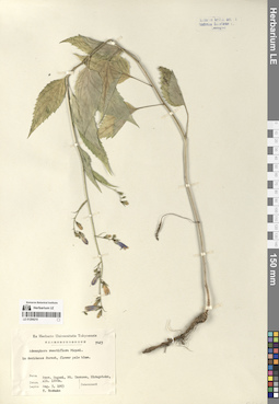
LE 01294210
Adenophora remotiflora (Siebold & Zucc.) Miq.
Collection date: 05.08.1963. Administrative regions: JP - Japan. Groups of specimens: Образцы сектора Центральной и Восточной Азии; Соглашение Минобрнауки №075-15-2021-1056Original label text:in deciduous forest, flower pale blue.
Record creation: 2024-08-09, Daria Yudova, PhotoScan D2.Citation: Specimen LE 01294210 // Virtual herbarium of Komarov Botanical Institute RAS — http://re.herbariumle.ru/01294210Prov. Sagami, Mt. Tanzawa, Hirugatake, alt. 1200 m.
Aug. 5, 1963
T. Toshuka
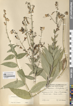
LE 01294304
Adenophora liliifolia (L.) A. DC. det. Fedorov, Andrey Aleksandrovich at 1954
Collectors: Igoschina, Kapitolina Nikolaevna Collection date: 31.07.1950. Administrative regions: UA - Zakarpattia Oblast - Mukachevo Raion. Groups of specimens: Образцы сектора Восточной ЕвропыOriginal label text:Закарпатская область УССР. Близ города Мукачево. Велика гора. Склон с дубом.
Coordinates (geographic position): 48° 25′ 15.66″ N, 22° 45′ 0.56″ EComment: 31.VII.1950
К. Н. Игошина
Ukraine. Zakarpattia region. Near the city of Mukachevo. Velika Gora. Slope with oak.
Record creation: 2024-08-10, Daria Yudova, PhotoScan D2.Citation: Specimen LE 01294304 // Virtual herbarium of Komarov Botanical Institute RAS — http://re.herbariumle.ru/0129430431.07.1950
Coll. K. N. Igoschina
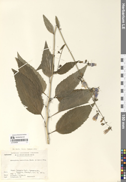
LE 01294209
Adenophora remotiflora (Siebold & Zucc.) Miq.
Collection date: 03.08.1970. Administrative regions: JP - Japan. Groups of specimens: Образцы сектора Центральной и Восточной Азии; Соглашение Минобрнауки №075-15-2021-1056Original label text:Japan. Yamagata pref., Yamagata-shi, Yamadera, Yusenkyo, alt. ca. 400 m.
Record creation: 2024-08-09, Daria Yudova, PhotoScan D2.Citation: Specimen LE 01294209 // Virtual herbarium of Komarov Botanical Institute RAS — http://re.herbariumle.ru/01294209Aug. 3, 1970
H. Ohashi, H. Ohba, Y. Tateishi
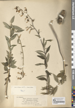
LE 01294303
Adenophora liliifolia (L.) A. DC.
Groups of specimens: Образцы сектора Восточной ЕвропыOriginal label text:Ucrainia. Rozyn, distr. Lipowiec.
Record creation: 2024-08-10, Daria Yudova, PhotoScan D2.Citation: Specimen LE 01294303 // Virtual herbarium of Komarov Botanical Institute RAS — http://re.herbariumle.ru/01294303Na polankach lesnych [= In forest clearings.]. Zebr. 22. lipca 1900 [= 22.07.1900]
A. Markiewiczowna
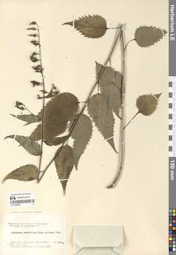
LE 01294208
Adenophora remotiflora (Siebold & Zucc.) Miq.
Collection date: 02.09.1975. Administrative regions: JP - Japan. Groups of specimens: Образцы сектора Центральной и Восточной Азии; Соглашение Минобрнауки №075-15-2021-1056Original label text:Gunma pref., Tano-gun, Manba-machi, alt. 900 m.
Record creation: 2024-08-09, Daria Yudova, PhotoScan D2.Citation: Specimen LE 01294208 // Virtual herbarium of Komarov Botanical Institute RAS — http://re.herbariumle.ru/01294208Sept. 2, 3 1975
J. Murata, Y. Tateishi, Y. Kadota
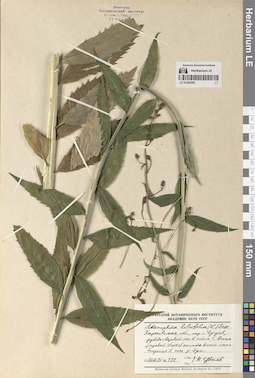
LE 01294302
Adenophora liliifolia (L.) A. DC.
Collectors: Tzvelev, Nikolai Nikolaievich Field collecting number: 132. Collection date: 26.07.1976. Administrative regions: UA - Kharkivs'ka Oblast'. Groups of specimens: Образцы сектора Восточной ЕвропыOriginal label text:Харьковская область, окрестности города Чугуев, дубово-вязовый лес в пойме Северского Донца (правый берег) немного выше места впадения в него реки Уды.
Coordinates (geographic position): 49° 46′ 48.45″ N, 36° 33′ 53.7″ EComment: № 132
26.VII.1976
Н. Цвелев
Kharkiv region, the outskirts of the city of Chuguev, oak-elm forest in the floodplain of the Seversky Donets (right bank) slightly above the confluence of the Uda River.
Record creation: 2024-08-10, Daria Yudova, PhotoScan D2.Citation: Specimen LE 01294302 // Virtual herbarium of Komarov Botanical Institute RAS — http://re.herbariumle.ru/01294302№ 132
26.07.1976
Coll. N. Tzvelev
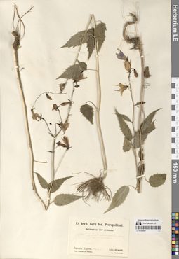
LE 01294207
Adenophora remotiflora (Siebold & Zucc.) Miq.
Collectors: Tschonoski, S. Collection date: 1864. Administrative regions: JP - Japan. Groups of specimens: Образцы сектора Центральной и Восточной Азии; Соглашение Минобрнауки №075-15-2021-1056Original label text:Japonia. Nippon. Hakone
Coordinates (geographic position): 35° 13′ 55.26″ N, 139° 1′ 27.6″ ERecord creation: 2024-08-09, Daria Yudova, PhotoScan D2.Citation: Specimen LE 01294207 // Virtual herbarium of Komarov Botanical Institute RAS — http://re.herbariumle.ru/012942071864
leg. Tschonoski
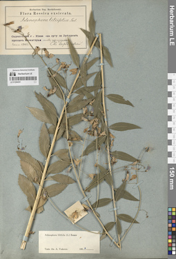
LE 01294301
Adenophora liliifolia (L.) A. DC. det. Fedorov, Andrey Aleksandrovich at 1954
Collectors: Bordzilowski, Eugen Iwanowitsch Collection date: 01.09.1905. Administrative regions: UA - Kyiv Oblast. Groups of specimens: Образцы сектора Сибири и Дальнего Востока РоссииOriginal label text:Окрестности города Киева - на лугу за Днепром против Межигорья. Между кустарниками.
Coordinates (geographic position): 50° 38′ 28.74″ N, 30° 32′ 58.35″ EComment: 1 сент. 1905
Евг. Бордзиловский
The outskirts of Kyiv - in a meadow beyond the Dnieper opposite Mezhyhirya. Between the bushes.
Record creation: 2024-08-10, Daria Yudova, PhotoScan D2.Citation: Specimen LE 01294301 // Virtual herbarium of Komarov Botanical Institute RAS — http://re.herbariumle.ru/012943011.09.1905
Coll. E. Bordzilowski
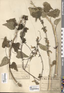
LE 01294206
Adenophora remotiflora (Siebold & Zucc.) Miq.
Collection date: 1891. Groups of specimens: Образцы сектора Центральной и Восточной Азии; Соглашение Минобрнауки №075-15-2021-1056Original label text:Mandschuria: [...]
Record creation: 2024-08-09, Daria Yudova, PhotoScan D2.Citation: Specimen LE 01294206 // Virtual herbarium of Komarov Botanical Institute RAS — http://re.herbariumle.ru/01294206leg. Faber 1891
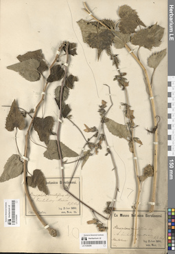
LE 01294205
Adenophora remotiflora (Siebold & Zucc.) Miq.
Administrative regions: CN - China. Groups of specimens: Образцы сектора Центральной и Восточной Азии; Соглашение Минобрнауки №075-15-2021-1056Original label text:China. Chefoo.
Record creation: 2024-08-09, Daria Yudova, PhotoScan D2.Citation: Specimen LE 01294205 // Virtual herbarium of Komarov Botanical Institute RAS — http://re.herbariumle.ru/01294205leg. Faber 1891
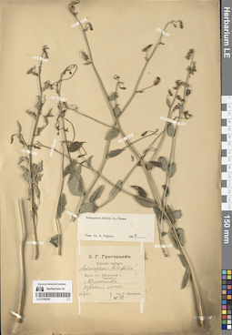
LE 01294300
Adenophora liliifolia (L.) A. DC. det. Fedorov, Andrey Aleksandrovich at 1954
Collectors: Grigor'ev, Sergei Grigor'yevitch (Grigorjev) Collection date: 04.08.1897. Administrative regions: RU - Kurskaya Oblast'. Groups of specimens: Образцы сектора Сибири и Дальнего Востока РоссииOriginal label text:Курская губерния, Тимский уезд. Абросимово; дубовый лес.
Coordinates (geographic position): 51° 37′ 22.08″ N, 37° 34′ 43.68″ EComment: 4.08.1897
С. Григорьев
Kursk province, Timsky district. Abrosimovo; oak forest.
4.08.1897
Coll. S. Grigor'ev
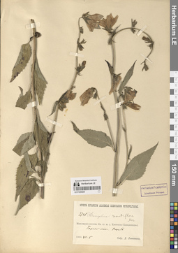
LE 01294204
Adenophora remotiflora (Siebold & Zucc.) Miq.
Collectors: Litvinov, Dimitri Ivanovich Field collecting number: 2748. Collection date: 05.07.1903. Administrative regions: CN - China. Subregion: Jilin. Groups of specimens: Образцы сектора Центральной и Восточной Азии; Соглашение Минобрнауки №075-15-2021-1056Original label text:Маньчжурия восточная. Бл. ст. ж. д. Хантохеза (Ханьдаохэцзы). Горный лес. Порубь.
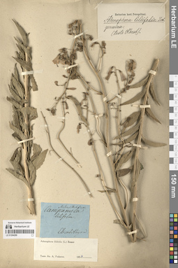
Comment: 1903. VII.5.
Д. Литвинов.
Eastern Manchuria. Railway station of Khantoheza (Handaohedzi). Mountain forest.
5.07.1903.
Coll. D. Litvinov.
LE 01294299
Adenophora liliifolia (L.) A. DC. det. Fedorov, Andrey Aleksandrovich at 1954
Collectors: Mertens, Franz Karl(Carl) Administrative regions: UA - Kirovohrads'ka Oblast'. Groups of specimens: Образцы сектора Восточной ЕвропыOriginal label text:Elisabethgrad [= Kirovograd, Kropyvnytskyi]
Coordinates (geographic position): 48° 30′ 29.52″ N, 32° 16′ 0.12″ ERecord creation: 2024-08-10, Daria Yudova, PhotoScan D2.Citation: Specimen LE 01294299 // Virtual herbarium of Komarov Botanical Institute RAS — http://re.herbariumle.ru/01294299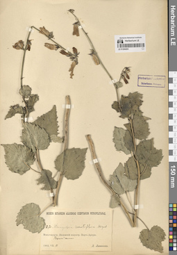
LE 01294203
Adenophora remotiflora (Siebold & Zucc.) Miq.
Collectors: Litvinov, Dimitri Ivanovich Collection date: 11.07.1902. Administrative regions: CN - China. Groups of specimens: Образцы сектора Центральной и Восточной Азии; Соглашение Минобрнауки №075-15-2021-1056Original label text:Манджурия. Ляодунский полуостров. Порт-Артур.
Comment: Горный склон.
11.VII.1902
Д. Литвинов
Manchuria. Liaodong Peninsula. Port Arthur. Mountain slope. 11.VII.1902 D. Litvinov
Record creation: 2024-08-09, Daria Yudova, PhotoScan D2.Citation: Specimen LE 01294203 // Virtual herbarium of Komarov Botanical Institute RAS — http://re.herbariumle.ru/01294203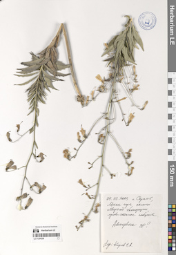
LE 01294298
Adenophora sp.
Collectors: Kireev, E. A. Collection date: 04.08.2003. Administrative regions: RU - Saratovskaya Oblast'. Groups of specimens: Образцы сектора Восточной ЕвропыOriginal label text:Г. Саратов, Лысая гора, склоны северной экспозиции, лугово-степные сообщества.
Coordinates (geographic position): 51° 32′ 45.59″ N, 45° 58′ 47.03″ EComment: 4.08.2003
Киреев Е. А.
Saratov, Lysaya Gora, northern slopes, meadow-steppe communities.
Record creation: 2024-08-10, Daria Yudova, PhotoScan D2.Citation: Specimen LE 01294298 // Virtual herbarium of Komarov Botanical Institute RAS — http://re.herbariumle.ru/012942984.08.2003
Coll. Kireev E. A.
[Adenophora liliifolia?]
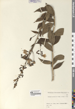
LE 01294202
Adenophora pereskiifolia (Fisch. ex Roem. & Schult.) G. Don
Field collecting number: 9505. Collection date: 08.08.1934. Administrative regions: JP - Japan. Groups of specimens: Образцы сектора Центральной и Восточной Азии; Соглашение Минобрнауки №075-15-2021-1056Original label text:Hokkaido: Prov. Hidaka, Samani, Horomangawa
Record creation: 2024-08-09, Daria Yudova, PhotoScan D2.Citation: Specimen LE 01294202 // Virtual herbarium of Komarov Botanical Institute RAS — http://re.herbariumle.ru/01294202Aug. 8, 1934
Coll. H. Hara
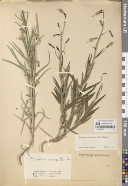
LE 01294297
Adenophora stenanthina (Ledeb.) Kitag. det. Fedorov, Andrey Aleksandrovich at 1954
Collectors: Krylov, Porphyriy Nikitich Collection date: 02.08.1901. Administrative regions: RU - Respublika Altay - Ulaganskiy Rayon. Groups of specimens: Образцы сектора Сибири и Дальнего Востока РоссииOriginal label text:Алтай. Берега реки Чулышмана меж Куту-Ярыком и устьем Чульчи.
Coordinates (geographic position): 50° 58′ 40.88″ N, 88° 5′ 55.56″ EComment: 2 Авг. 1901
П. Крылов
Altai. The banks of the Chulyshman River between Kutu-Yaryk and the mouth of Chulcha.
2.08.1901
Coll. P. Krylow
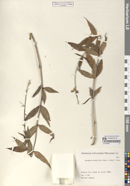
LE 01294201
Adenophora pereskiifolia (Fisch. ex Roem. & Schult.) G. Don
Field collecting number: 9540. Collection date: 15.08.1964. Administrative regions: JP - Japan. Groups of specimens: Образцы сектора Центральной и Восточной Азии; Соглашение Минобрнауки №075-15-2021-1056Original label text:Hokkaido: Prov. Oshima, Mt. Kariba
Record creation: 2024-08-09, Daria Yudova, PhotoScan D2.Citation: Specimen LE 01294201 // Virtual herbarium of Komarov Botanical Institute RAS — http://re.herbariumle.ru/01294201Aug. 15 1964
Coll. Masatoshi Takahashi
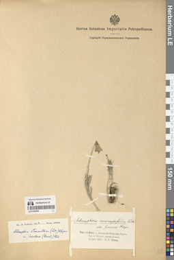
LE 01294296
Adenophora stenanthina (Ledeb.) Kitag. det. Fedorov, Andrey Aleksandrovich at 1954
Collectors: Titov, V. S. Collection date: 11.07.1910. Administrative regions: RU - Respublika Khakasiya - Shirinskiy Rayon. Groups of specimens: Образцы сектора Сибири и Дальнего Востока РоссииOriginal label text:Енисейская губерния. Минусинский уезд. Абаканская Инородная Управа. Окрестности озера Шунет, щебень и скалы.
Coordinates (geographic position): 54° 24′ 57.85″ N, 90° 13′ 50.01″ EComment: 11 июля 1910
В. С. Титов
Yenisei province. Minusinsk district. Abakan Foreign Administration. Lake Shunet area, rubble and rocks.
July 11, 1910
Coll. V.S. Titov
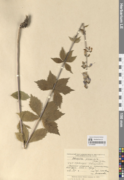
LE 01294200
Adenophora pereskiifolia (Fisch. ex Roem. & Schult.) G. Don
Collection date: 09.08.1957. Administrative regions: CN - China. Groups of specimens: Образцы сектора Центральной и Восточной Азии; Соглашение Минобрнауки №075-15-2021-1056Original label text:КНР. Провинция Хэйлунцзян. Заросли лещины и кустарникового дуба близ Оупу.
Comment: 9.VIII.1957
Сюй Тянь-Фэнь
China. Heilongjiang Province. Thickets of hazel and scrub oak near Oupu.
Record creation: 2024-08-09, Daria Yudova, PhotoScan D2.Citation: Specimen LE 01294200 // Virtual herbarium of Komarov Botanical Institute RAS — http://re.herbariumle.ru/012942009.VIII.1957
Coll. Xu Tian-Fen
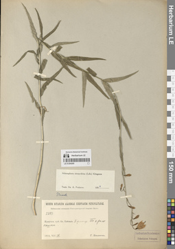
LE 01294295
Adenophora stenanthina (Ledeb.) Kitag. det. Fedorov, Andrey Aleksandrovich at 1954
Collectors: Poplavskaya (Poplawska), Henrietta Ippolitovna Field collecting number: 2283. Collection date: 18.07.1915. Administrative regions: RU - Irkutskaya Oblast' - Slyudyanskiy Rayon. Groups of specimens: Образцы сектора Сибири и Дальнего Востока РоссииOriginal label text:Иркутская губерния. Озеро Байкал. Култук. По краю пашни.
Coordinates (geographic position): 51° 43′ 57.49″ N, 103° 41′ 56.34″ EComment: 18.VII.1915
Г. Поплавская
Irkutsk province. Lake Baikal. Kultuk. Along the edge of arable land.
Record creation: 2024-08-10, Daria Yudova, PhotoScan D2.Citation: Specimen LE 01294295 // Virtual herbarium of Komarov Botanical Institute RAS — http://re.herbariumle.ru/0129429518.07.1915
Coll. H. Poplavskaya
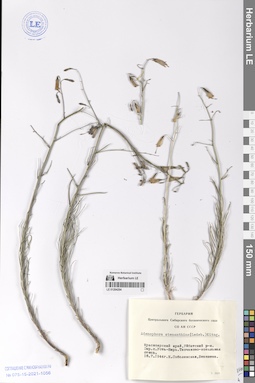
LE 01294294
Adenophora stenanthina (Ledeb.) Kitag.
Collection date: 16.07.1944. Administrative regions: RU - Respublika Khakasiya. Groups of specimens: Образцы сектора Сибири и Дальнего Востока РоссииOriginal label text:Красноярский край, Уйбатский район. Окрестности села Усть-Бирь. Типчаково-ковыльная степь.
Coordinates (geographic position): 53° 49′ 27.69″ N, 90° 15′ 37.33″ EComment: 16.7.1944
К. Соболевская, Бекешева
Krasnoyarsky Krai, Uybatsky District. The outskirts of the Ust-Bir village. Fescue-feather grass steppe.
16.07.1944
Coll. K. Sobolevskaya, Bekesheva
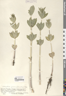
LE 01294199
Adenophora pereskiifolia (Fisch. ex Roem. & Schult.) G. Don
Collectors: Gubanov, Ivan Alekseevich; Budantsev, Andrey Lvovich; Ganbold, E.; Kamelin, Rudolph Vladimirovich; Darijma, Sh. Field collecting number: 976. Collection date: 01.07.1987. Administrative regions: MN - Mongolia. Groups of specimens: Образцы сектора Центральной и Восточной Азии; Соглашение Минобрнауки №075-15-2021-1056Original label text:Восточная Монголия. Западные отроги хребта Большой Хиинган. 47° 05' с.ш., 119° 40' в.д. Пойма реки Нумэргийн-гол (левого притока реки Халхин-гол) в среднем течении близ горы Хан-Хандмань-ула.
Coordinates (geographic position): 47° 5′ 0″ N, 119° 40′ 0″ EComment: № 976
1.VII.1987
И. А. Губанов, А. Л. Буданцев, Э. Ганболд, Р. В. Камелин, Ш. Дариймаа
Eastern Mongolia. Western spurs of the Greater Khingan Range. 47° 05' N, 119° 40' E. Floodplain of the Numergiin-gol River (left tributary of the Khalkhin-gol River) in the middle reaches near Mount Khan-Khandman-ula.
Record creation: 2024-08-09, Daria Yudova, PhotoScan D2.Citation: Specimen LE 01294199 // Virtual herbarium of Komarov Botanical Institute RAS — http://re.herbariumle.ru/01294199№ 976
1.VII.1987
Coll. I. A. Gubanov, A. L. Budantsev, E. Ganbold, R. V. Kamelin, Sh. Dariimaa
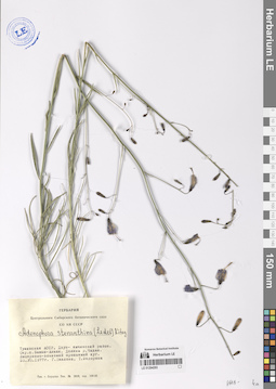
LE 01294293
Adenophora stenanthina (Ledeb.) Kitag.
Collectors: Pavlova, G.; Fedorova, Tatyana Anatolevna Collection date: 25.07.1977. Administrative regions: RU - Respublika Tyva. Groups of specimens: Образцы сектора Сибири и Дальнего Востока РоссииOriginal label text:Тувинская АССР, Дзун-емчикский район. Окрестности села Бажын-Алаак. Долина реки Чадан. Люцерново-злаковый орошаемый луг.
Coordinates (geographic position): 51° 14′ 3.7″ N, 91° 44′ 31.92″ EComment: 25.VII.1977
Г. Павлова, Т. Федорова
Tyva, Dzun-Khemchiksky Kozhuun.
Record creation: 2024-08-10, Daria Yudova, PhotoScan D2.Citation: Specimen LE 01294293 // Virtual herbarium of Komarov Botanical Institute RAS — http://re.herbariumle.ru/01294293The vicinity of the village of Bazhyn-Alaak. Valley of the Chadan River. Alfalfa-cereal irrigated meadow.
25.07.1977
Coll. G. Pavlova, T. Fedorova
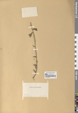
LE 01294198
Adenophora liliifolia (L.) A. DC.
Collection date: 11.09.1890. Administrative regions: CN - China. Groups of specimens: Образцы сектора Центральной и Восточной Азии; Соглашение Минобрнауки №075-15-2021-1056Original label text:Su-tchean.
Record creation: 2024-08-09, Daria Yudova, PhotoScan D2.Citation: Specimen LE 01294198 // Virtual herbarium of Komarov Botanical Institute RAS — http://re.herbariumle.ru/0129419811 Sept. 1890
leg. Martin
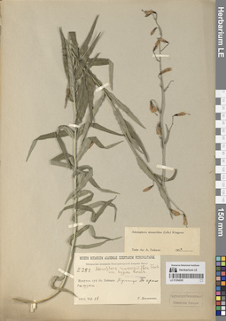
LE 01294292
Adenophora stenanthina (Ledeb.) Kitag. det. Fedorov, Andrey Aleksandrovich at 1954
Collectors: Poplavskaya (Poplawska), Henrietta Ippolitovna Field collecting number: 2283. Collection date: 18.07.1915. Administrative regions: RU - Irkutskaya Oblast' - Slyudyanskiy Rayon. Groups of specimens: Образцы сектора Сибири и Дальнего Востока РоссииOriginal label text:Иркутская губерния. Озеро Байкал. Култук. По краю пашни.
Coordinates (geographic position): 51° 43′ 57.49″ N, 103° 41′ 56.34″ EComment: 18.VII.1915
Г. Поплавская
Irkutsk province. Lake Baikal. Kultuk. Along the edge of arable land.
Record creation: 2024-08-10, Daria Yudova, PhotoScan D2.Citation: Specimen LE 01294292 // Virtual herbarium of Komarov Botanical Institute RAS — http://re.herbariumle.ru/0129429218.07.1915
Coll. H. Poplavskaya
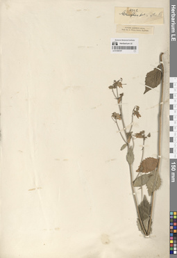
LE 01294197
Adenophora liliifolia (L.) A. DC.
Collectors: Henry, Augustine Field collecting number: 4992. Collection date: 05.1888. Administrative regions: CN - China. Groups of specimens: Образцы сектора Центральной и Восточной Азии; Соглашение Минобрнауки №075-15-2021-1056Original label text:Patung district, China.
Record creation: 2024-08-09, Daria Yudova, PhotoScan D2.Citation: Specimen LE 01294197 // Virtual herbarium of Komarov Botanical Institute RAS — http://re.herbariumle.ru/01294197From Dr. A. Henry, Ichang, May, 1888.
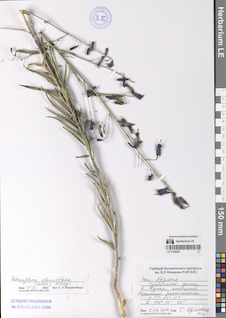
LE 01294291
Adenophora stenanthina (Ledeb.) Kitag. det. Krestovskaya, Tatiana Valerievna at 18.11.2021
Collectors: Krestovskaya, Tatiana Valerievna Collection date: 02.08.2010. Administrative regions: RU - Respublika Buryatiya - Tunkinskiy Rayon. Groups of specimens: Образцы сектора Сибири и Дальнего Востока РоссииOriginal label text:Республика Бурятия. Тункинская долина. Село Тунка, сообщество рудеральной растительности.
Coordinates (geographic position): 51° 44′ 15″ N, 102° 30′ 46″ EComment: N 51° 44' 15"
E 102° 30' 46"
2.08.2010
Т. Крестовская
Republic of Buryatia. Tunkinskaya Valley. Tunka village, ruderal vegetation community.
Record creation: 2024-08-10, Daria Yudova, PhotoScan D2.Citation: Specimen LE 01294291 // Virtual herbarium of Komarov Botanical Institute RAS — http://re.herbariumle.ru/01294291N 51° 44' 15"
E 102° 30' 46"
2.08.2010
Coll. T. Krestovskaya
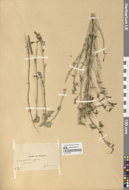
LE 01294196
Adenophora liliifolia (L.) A. DC.
Collection date: 23.08.1898. Groups of specimens: Образцы сектора Центральной и Восточной Азии; Соглашение Минобрнауки №075-15-2021-1056Original label text:Каманское ущелье.
Comment: Монголия
23.VIII.1898
[...]
Kaman Gorge.
Mongolia
23.VIII.1898
[...]
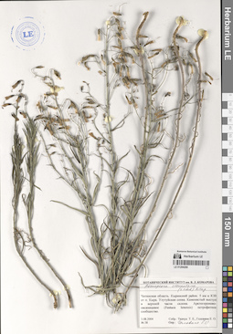
LE 01294290
Adenophora stenanthina (Ledeb.) Kitag. det. Golovina, Ekaterina Olegovna
Collectors: Golovina, Ekaterina Olegovna; Tkachuk, Tatiana Evgenievna Field collecting number: 38. Collection date: 03.08.2004. Administrative regions: RU - Zabaykal'skiy Kray - Kyrinskiy Rayon. Groups of specimens: Образцы сектора Сибири и Дальнего Востока РоссииOriginal label text:Читинская область. Кыринский район. 5 км к ЮВ от поселка Кыра. Улутуйская сопка. Каменистый выступ в верхней части склона. Арктогероново-овсяницевое (Festuca lenensis) петрофитное сообщество.
Coordinates (geographic position): 49° 34′ 13.14″ N, 112° 3′ 23.5″ EComment: 3.08.2004
Ткачук Т. Е., Головина Е. О.
Chita Region. Kyra District. 5 km SE from the Kyra village. Ulutuyskaya Sopka. Rocky ledge in the upper part of the slope. Arctogeron-fescue (Festuca lenensis) petrophytic community.
3.08.2004
Coll. Tkachuk T. E., Golovina E. O.
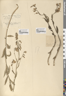
LE 01294195
Adenophora liliifolia (L.) A. DC.
Collectors: Kusnetzoff Collection date: 1855. Administrative regions: JP - Japan. Groups of specimens: Образцы сектора Центральной и Восточной Азии; Соглашение Минобрнауки №075-15-2021-1056Original label text:Simoda, 1855
Coordinates (geographic position): 34° 41′ 5.66″ N, 138° 56′ 58.52″ ERecord creation: 2024-08-09, Daria Yudova, PhotoScan D2.Citation: Specimen LE 01294195 // Virtual herbarium of Komarov Botanical Institute RAS — http://re.herbariumle.ru/01294195Japonia
Kusnetzoff
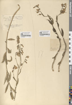
LE 01294194
Adenophora liliifolia (L.) A. DC.
Collectors: David, Armand Collection date: 08.1862. Groups of specimens: Образцы сектора Центральной и Восточной Азии; Соглашение Минобрнауки №075-15-2021-1056Comment:Environs de Pekin
Record creation: 2024-08-09, Daria Yudova, PhotoScan D2.Citation: Specimen LE 01294194 // Virtual herbarium of Komarov Botanical Institute RAS — http://re.herbariumle.ru/01294194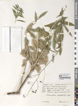
LE 01294289
Adenophora liliifolia (L.) A. DC.
Collectors: Efremov, Andrey Nikolaevich Collection date: 15.08.2006. Administrative regions: RU - Omskaya Oblast' - Poltavskiy Rayon. Groups of specimens: Образцы сектора Сибири и Дальнего Востока РоссииOriginal label text:Омская область, Москаленский район, урочище "Амринская балка", 8 км восточнее поселка Платово. Берег пруда по днищу лога. В составе осоково-горцего фитоценоза.
Coordinates (geographic position): 54° 31′ 51.23″ N, 71° 47′ 3.32″ EComment: 15.8.2006
Ефремов А. Н.
Omsk Region, Moskalensky District, "Amrinskaya Balka", 8 km east of the Platovo village.
Record creation: 2024-08-10, Daria Yudova, PhotoScan D2.Citation: Specimen LE 01294289 // Virtual herbarium of Komarov Botanical Institute RAS — http://re.herbariumle.ru/0129428915.8.2006
Coll. A. N. Efremov
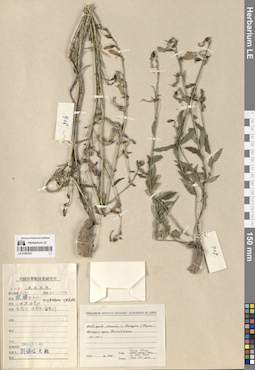
LE 01294193
Adenophora liliifolia (L.) A. DC.
Field collecting number: 908. Collection date: 1951. Administrative regions: CN - China. Groups of specimens: Образцы сектора Центральной и Восточной Азии; Соглашение Минобрнауки №075-15-2021-1056Original label text:КНР, провинция Ляонин, город Люшунь (Порт-Артур), гора Байюйшань.
Comment: 40-100 м.
№ 908
1951
Wang Chang, Liou Ying-hsin, Li Shu-hsin, Fuh Pei-yun.
China, Liaoning province, Lushun city (Port Arthur), Baiyushan mountain.
40-100 m.
No. 908
1951
Wang Chang, Liou Ying-hsin, Li Shu-hsin, Fuh Pei-yun.