View
Add
Copy
Edit
Delete
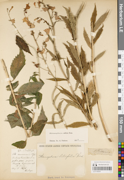
LE 01182538
Adenophora sublata Kom. det. Fedorov, Andrey Aleksandrovich at 1954
Administrative regions: RU - Zabaykal'skiy Kray. Groups of specimens: Образцы сектора Сибири и Дальнего Востока РоссииOriginal label text:42. Nertschinsk.
Record creation: 2022-06-16, Daria Yudova, PhotoScan D2Citation: Specimen LE 01182538 // Virtual herbarium of Komarov Botanical Institute RAS — http://re.herbariumle.ru/01182538Ad communis Fisch.
In locis humidis et in pratis prope pagum [...].
Fl. Junio
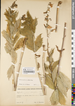
LE 01182537
Adenophora sublata Kom. det. Fedorov, Andrey Aleksandrovich at 1954
Additional identifications: Adenophora liliifolia (L.) A. DC. Collectors: Litvinov, Dimitri Ivanovich Field collecting number: 357. Collection date: 29.07.1903. Administrative regions: RU - Zabaykal'skiy Kray. Groups of specimens: Образцы сектора Сибири и Дальнего Востока России; Museum botan. Acad. Petrop.Original label text:357
Coordinates (geographic position): 51° 29′ 2.75″ N, 114° 32′ 41.03″ EComment: Забайкальск. обл. (восточн. часть). Бл. ст. ж. д. "Седловой разъезд".
1903.VII.29
Собр. Д. Литвинов
357
Zabaikalsk region (eastern part). Near railway station "Sedlovoy razyezd".
29.07.1903
Coll. D. Litvinov
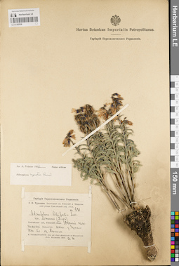
LE 01182536
Adenophora rupestris Reverd. det. Fedorov, Andrey Aleksandrovich at 1957
Additional identifications: Adenophora liliifolia (L.) A. DC. Collectors: Turkevicz, Sergey Yulianovich Field collecting number: 931. Collection date: 21.07.1913. Administrative regions: RU - Respublika Khakasiya. Expedition: С.Ю. Туркевич. Экспедиция в Ачинский и Минусинский уезды Енисейской губ. 1913. (1913)Groups of specimens: Образцы сектора Сибири и Дальнего Востока России; Гербарий Переселенческого УправленияOriginal label text:Гербарий Переселенческого управления
Coordinates (geographic position): 54° 43′ 59.49″ N, 89° 16′ 1.55″ EComment: С.Ю. Туркевич. Экспедиция в Ачинский и Минусинский уезды Енисейской губ. 1913.
№ 931
Adenophora liliifolia Ledb. var. lamarkii (Fisch.)
Енисейская губ., Ачинский уезд. Южный каменистый склон сопки у Черного Юса бл. оз. Ошколь.
S. Turkewitsch. Iter ad distr. Atchinsk et Minussinsk (Gub. Enisseisk) 1913. 21.VII.
№ 931
Record creation: 2022-06-16, Daria Yudova, PhotoScan D2Citation: Specimen LE 01182536 // Virtual herbarium of Komarov Botanical Institute RAS — http://re.herbariumle.ru/01182536Yenisei province, Achinsk district. Southern rocky slope of the hill near Cherny Yus river near Lake Oshkol.
21.07.1913
Coll. S. Turkevicz
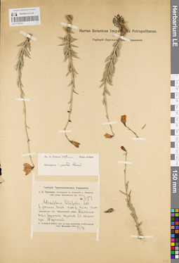
LE 01182535
Adenophora rupestris Reverd. det. Fedorov, Andrey Aleksandrovich at 1957
Additional identifications: Adenophora liliifolia (L.) A. DC. Collectors: Turkevicz, Sergey Yulianovich Field collecting number: 453. Collection date: 14.06.1913. Administrative regions: RU - Respublika Khakasiya. Expedition: С.Ю. Туркевич. Экспедиция в Ачинский и Минусинский уезды Енисейской губ. 1913. (1913)Groups of specimens: Образцы сектора Сибири и Дальнего Востока России; Гербарий Переселенческого УправленияOriginal label text:Гербарий Переселенческого управления
Coordinates (geographic position): 54° 43′ 10.83″ N, 89° 54′ 30.48″ EComment: С.Ю. Туркевич. Экспедиция в Ачинский и Минусинский уезды Енисейской губ. 1913.
№ 453
Adenophora liliifolia Ledb. f. genvina Korsh. modif. nana Korsh.
Енисейская губ., Минусинский уезд. Каменистая вершина перевала близ станицы Форпост.
S. Turkewitsch. Iter ad distr. Atschinsk et Minussinsk (Gub. Enisseisk) 1913. 14/VI.
Yenisei province, Minusinsk district. Rocky peak of the pass near the Forpost village.
Record creation: 2022-06-16, Daria Yudova, PhotoScan D2Citation: Specimen LE 01182535 // Virtual herbarium of Komarov Botanical Institute RAS — http://re.herbariumle.ru/0118253514.06.1913
Coll. S. Turkewitsch
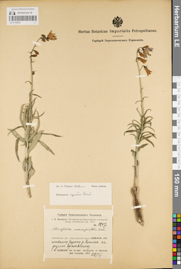
LE 01182534
Adenophora rupestris Reverd. det. Fedorov, Andrey Aleksandrovich at 1957
Additional identifications: Adenophora marsupiiflora (Schult.) Fisch. Collectors: Kusnezow (Kuznetszov, Kusnezov), Ivan Vasilievich Field collecting number: 1847. Collection date: 28.06.1912. Administrative regions: RU - Krasnoyarskiy Kray - Krasnoturanskiy Rayon. Expedition: И.В. Кузнецов: Экспедиция в Красноярский и Ачинский уезды, Енисейской губ. 1912 (1912)Groups of specimens: Образцы сектора Сибири и Дальнего Востока России; Гербарий Переселенческого УправленияOriginal label text:Гербарий Переселенческого управления
Coordinates (geographic position): 54° 40′ 5.22″ N, 91° 2′ 34.83″ EComment: И.В. Кузнецов: Экспедиция в Красноярский и Ачинский уезды, Енисейской губ. 1912
№ 1847
Adenophora marsupiiflora Fisch.
Енисейская губ., Красноярский уезд: осыпи по левому берегу р. Енисея к ручью Гремячему.
I. W. Kusnezow: Iter ad distr. Krasnojarsk et Atchinsk (Gub. Enisseisk) 1912. 28/VI.
Yenisei province, Krasnoyarsk district: talus along the left bank of the Yenisei River to the Gremyachiy stream.
28.06.1912
Coll. I. W. Kusnezow
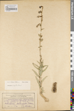
LE 01182533
Adenophora rupestris Reverd. det. Fedorov, Andrey Aleksandrovich at 1957
Additional identifications: Adenophora denticulata Fisch. det. IIjin, Modest Mikhailovich Collectors: IIjin, Modest Mikhailovich Field collecting number: 156а. Collection date: 01.08.1931. Administrative regions: RU - Respublika Khakasiya. Expedition: Минусинская экспедиция (1931)Groups of specimens: Образцы сектора Сибири и Дальнего Востока России; Гербарий Всесоюзного Научно-исследовательского института каучука и гуттаперчиOriginal label text:Гербарий Всесоюзного Научно-исследовательского института каучука и гуттаперчи
Coordinates (geographic position): 53° 19′ 57.12″ N, 91° 25′ 9.03″ EComment: М.М. Ильин, Б.Н. Овчинников и А.Ф. Иванова. Минусинская экспедиция.
Минусинский окр. Абаканская степь. Степная впадина между д. Летник и д. Калы.
Adenophora denticulata Fisch.
1.VIII.1931 г. № 156 а
Leg. et det М.М. Ильин
Minusinsk district. Abakan steppe. Steppe depression between the villages of Letnik and Kaly.
1.08.1931
Coll. M. IIjin
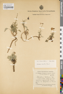
LE 01182532
Adenophora rupestris Reverd. det. Fedorov, Andrey Aleksandrovich at 1957
Additional identifications: Adenophora liliifolia (L.) A. DC. Collectors: Turkevicz, Sergey Yulianovich Field collecting number: 995. Collection date: 26.07.1913. Administrative regions: RU - Respublika Khakasiya. Expedition: С.Ю. Туркевич. Экспедиция в Ачинский и Минусинский уезды Енисейской губ. 1913. (1913)Groups of specimens: Образцы сектора Сибири и Дальнего Востока России; Гербарий Переселенческого УправленияOriginal label text:Гербарий Переселенческого управления
Coordinates (geographic position): 54° 44′ 4.13″ N, 89° 52′ 43.29″ EComment: С.Ю. Туркевич. Экспедиция в Ачинский и Минусинский уезды Енисейской губ. 1913.
№ 995
Adenophora liliifolia Ledb. f. genvina Korsh. modif. nana Korsh.
Енисейская губ., Минусинский уезд. Склон увала близ Форпоста на Белом Юсе.
S. Turkewitsch. Iter ad distr. Atschinsk et Minussinsk (Gub. Enisseisk) 1913. 26/VII.
S. Yu. Turkevich. Expedition to the Achinsk and Minusinsk districts of Yenisei province. 1913.
Record creation: 2022-06-16, Daria Yudova, PhotoScan D2Citation: Specimen LE 01182532 // Virtual herbarium of Komarov Botanical Institute RAS — http://re.herbariumle.ru/01182532№ 995
Yenisei province, Minusinsk district. Slope of the ridge near the Forpost village [= Solyanoozernoe village] on the Bely Yus river.
26.07.1913
Coll. S. Turkevich
Форпост - раннее название села Соляноозерное.
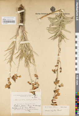
LE 01182531
Adenophora rupestris Reverd. det. Fedorov, Andrey Aleksandrovich at 1954
Additional identifications: Adenophora marsupiiflora (Schult.) Fisch. Collectors: Avdeeva, A. V. Field collecting number: 243. Collection date: 26.06.1913. Administrative regions: RU - Respublika Khakasiya. Expedition: А. В. Авдеева: Экспедиция в Минусинский уезд Енисейской губ. 1913 (1913)Groups of specimens: Образцы сектора Сибири и Дальнего Востока РоссииOriginal label text:А. В. Авдеева: Экспедиция в Минусинский уезд Енисейской губ. 1913
Coordinates (geographic position): 53° 2′ 46.27″ N, 90° 48′ 23.05″ EComment: № 243
Adenophora marsupiiflora (Schult.) Fisch.
Енисейская губ., Минусинский уезд: берег реки Уты, в 100 саж. от заимки, кр. села Бейска.
A. W. Awdeeva: Iter ad distr. Minussinsk (Gub. Enisseisk.)1913. 26/VI.
A. V. Avdeeva: Expedition to the Minusinsk district of the Yenisei province. 1913
№ 243
Yenisei province, Minusinsk district: bank of the Uta river, outskirts of the Beysk village.
26.06.1913
Coll. A. V. Avdeeva
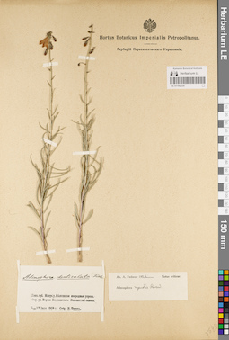
LE 01182530
Adenophora rupestris Reverd. det. Fedorov, Andrey Aleksandrovich at 1957
Additional identifications: Adenophora denticulata Fisch. Collectors: Titov, V. S. Collection date: 05.07.1909. Administrative regions: RU - Respublika Khakasiya. Groups of specimens: Образцы сектора Сибири и Дальнего Востока РоссииOriginal label text:Енис. губ. Минус. у. Абаканская инородная управа. Окр. ул. Верхне-Биджинского. Каменистый склон.
Coordinates (geographic position): 53° 57′ 49.19″ N, 91° 1′ 49.92″ EComment: 5-12 июля 1909 г. Собр. В. Титов.
Republic of Khakassia, vicinity of the Vershino-Bidzha village.
Record creation: 2022-06-16, Daria Yudova, PhotoScan D2Citation: Specimen LE 01182530 // Virtual herbarium of Komarov Botanical Institute RAS — http://re.herbariumle.ru/011825305.07.1909
Coll. V. Titov
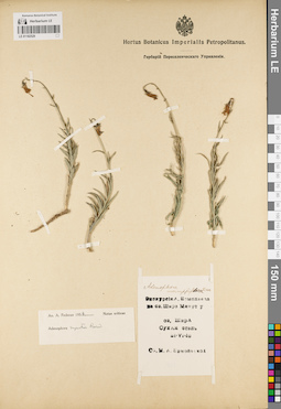
LE 01182529
Adenophora rupestris Reverd. det. Fedorov, Andrey Aleksandrovich at 1957
Additional identifications: Adenophora marsupiiflora (Schult.) Fisch. Collectors: Ermolaeva, M. A. Collection date: 21.06.1913. Administrative regions: RU - Respublika Khakasiya - Shirinskiy Rayon. Groups of specimens: Образцы сектора Сибири и Дальнего Востока РоссииOriginal label text:Adenophora marsupiiflora Fisch.
Coordinates (geographic position): 54° 29′ 25.17″ N, 90° 17′ 1.69″ EComment: Экскурсия А. Ермолаева на оз. Шира Минус. у.
Оз. Шира. Сухая степь.
21.VI.13
Сб. М. А. Ермолаевой
Lake Shira. Dry steppe.
21.06.1913
Coll. M. A. Ermolaeva
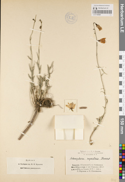
LE 01182528
Adenophora rupestris Reverd.
Collectors: Pershina, G.; Shapovalova, P. Collection date: 13.07.1936. Administrative regions: RU - Respublika Khakasiya - Shirinskiy Rayon. Groups of specimens: Образцы сектора Сибири и Дальнего Востока России; Гербарий им. П.Н. Крылова при Томском УниверситетеOriginal label text:Гербарий им. П.Н. Крылова при Томском Университете им. Куйбышева В.В.
Coordinates (geographic position): 54° 24′ 46.95″ N, 90° 22′ 24.27″ EComment: Хакассия. Ширинский р-н. Конесовхоз № 42. В 2 км к югу от хут. Власьево - 54 2/5° с.ш. и 60° в.д. Болото.
13.VII.1936г.
Г. Першина и П. Шаповалова
Khakassia. Shirinsky district. Horse farm № 42. 2 km south of the village of Vlasyevo - 54 2/5° N and 60° E. Swamp.
Record creation: 2022-06-16, Daria Yudova, PhotoScan D2Citation: Specimen LE 01182528 // Virtual herbarium of Komarov Botanical Institute RAS — http://re.herbariumle.ru/0118252813.07.1936
Coll. G. Pershina, P. Shapovalova
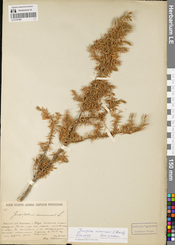
LE 01191504
Juniperus niemannii E.L. Wolf det. Orlova, Larisa Vladimirovna at 11.06.2022
Additional identifications: Juniperus communis L. det. Ganeschin, Sergej Sergejewitsch at 1911 Collectors: Dolenko. Gr. Field collecting number: 119. Collection date: 23.06.1911. Administrative regions: RU - Irkutskaya Oblast' - Ekhirit-Bulagatskiy Rayon. Place of collection: село Харат, в 13-16 км от улиса Заготуй, старое насаждение (90-100 лет) из ели, пихты, лиственницы и кедровой сосны, в котловине и на понижающихся склонах.Groups of specimens: Образцы сектора Сибири и Дальнего Востока России; Соглашение Минобрнауки №075-15-2021-1056Original label text:Museum Botanicum Academiae Scientiarum Petropolitanae. 119. Juniperus communis L. Иркутск. губ. Верхоленск. у. Под пологом старого насаждения (90-100 л.) из ели, пыхты, лиственницы и кедра, в котловине и на понижающихся склонах. Местность Харат, в 12-15 вер. от улиса Заготуя. 1911.VI.23. Гр. Доленко. Опр. С. Ганешин
Landscape in location of collection: в котловине и на понижающихся склонахHabitat / plant community in location of collecting: старое насаждение (90-100 лет) из ели, пихты, лиственницы и кедровой сосныCoordinates (geographic position): 52° 45′ 10.02″ N, 105° 3′ 38.92″ E ±5000 mRecord creation: 2022-06-16, Larisa Orlova, PhotoScan D2Citation: Specimen LE 01191504 // Virtual herbarium of Komarov Botanical Institute RAS — http://re.herbariumle.ru/01191504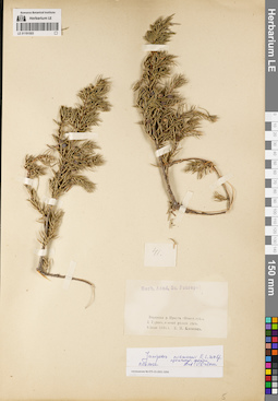
LE 01191503
Juniperus niemannii E.L. Wolf ⟨intermediate forma⟩ det. Orlova, Larisa Vladimirovna at 11.06.2022
Collectors: Klementz, Elizaveta Nikolaevna Field collecting number: 41. Collection date: 06.07.1891. Administrative regions: RU - Respublika Buryatiya - Tunkinskiy Rayon. Place of collection: верховья р. Иркут, дер. Туран, еловый редкий лес.Groups of specimens: Образцы сектора Сибири и Дальнего Востока России; Соглашение Минобрнауки №075-15-2021-1056; Herb. Acad. Sc. Petropol.Original label text:Herb. Acad. Sc. Petropol. Верховья р. Иркута (Иркут. губ.). Д. Туран, еловый редкий лес. 6 Июля 1891 г. Е.Н. Клеменц
Habitat / plant community in location of collecting: еловый редкий лесCoordinates (geographic position): 51° 38′ 13.21″ N, 101° 39′ 49.92″ E ±10000 mRecord creation: 2022-06-16, Larisa Orlova, PhotoScan D2Citation: Specimen LE 01191503 // Virtual herbarium of Komarov Botanical Institute RAS — http://re.herbariumle.ru/01191503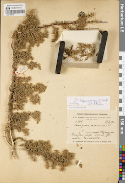
LE 01191502
Juniperus niemannii E.L. Wolf ⟨intermediate forma⟩ det. Orlova, Larisa Vladimirovna at 11.06.2022
Additional identifications: Juniperus communis L. det. Kusnezow, Nicolai Ivanovitch at 1910 Collectors: Kusnezow, Nicolai Ivanovitch Field collecting number: 206. Collection date: 08.06.1910. Administrative regions: RU - Irkutskaya Oblast' - Kachugskiy Rayon. Place of collection: долина р. Тутура, старая гарь около зимовья Челпанова.Expedition: Н.И. Кузнецов. Лено-Киренгская экспедиция Иркутской губ. 1910 г. (1910)Groups of specimens: Образцы сектора Сибири и Дальнего Востока России; Соглашение Минобрнауки №075-15-2021-1056; Гербарий Переселенческого УправленияOriginal label text:Гербарий Переселенческого Управления. Н.И. Кузнецов. Лено-Киренгская экспедиция Иркутской губ. 1910 г. № 206. 8/VI 1910 г. Juniperus communis L. Долина р. Тутуры. Старая гарь около зимовья Челпанова. N.I. Kusnezow: Iter Ircutense ad fl. Lena et Kirenga. 1910
Landscape in location of collection: долина рекиHabitat / plant community in location of collecting: старая гарьCoordinates (geographic position): 54° 23′ 11.62″ N, 106° 6′ 29.41″ E ±130000 mRecord creation: 2022-06-16, Larisa Orlova, PhotoScan D2Citation: Specimen LE 01191502 // Virtual herbarium of Komarov Botanical Institute RAS — http://re.herbariumle.ru/01191502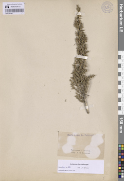
LE 01191501
Juniperus sibirica Burgsd. det. Orlova, Larisa Vladimirovna at 11.06.2022
Collectors: Vitkovskij, Nikolai Ivanovich Groups of specimens: Образцы сектора Сибири и Дальнего Востока России; Соглашение Минобрнауки №075-15-2021-1056; Herb. Acad. Sc. Petropol.Record creation: 2022-06-16, Larisa Orlova, PhotoScan D2Citation: Specimen LE 01191501 // Virtual herbarium of Komarov Botanical Institute RAS — http://re.herbariumle.ru/01191501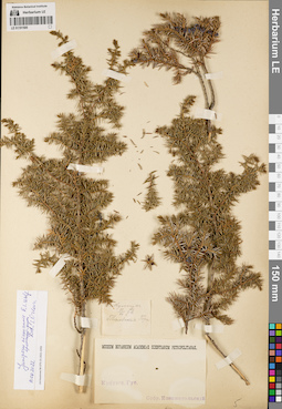
LE 01191500
Juniperus niemannii E.L. Wolf ⟨intermediate forma⟩ det. Orlova, Larisa Vladimirovna at 11.06.2022
Collectors: Ksenzhopolsky (Księżpolski), Wladislav Thomasz Collection date: 11.06.1876. Administrative regions: RU - Respublika Buryatiya - Tunkinskiy Rayon. Place of collection: окрестности г. Култук, с. Талое, Тальская высота (Тальская Гора).Groups of specimens: Образцы сектора Сибири и Дальнего Востока России; Соглашение Минобрнауки №075-15-2021-1056Original label text:[1]Г. Култук 11/VI 76. Тальская Гора [2] Museum Botanicum Academiae Scientiarum Petropolitanae. Иркутск. Губ. Собр. Ксенжопольский
Landscape in location of collection: склон горыCoordinates (geographic position): 51° 49′ 30.23″ N, 102° 28′ 53.25″ E ±3000 mRecord creation: 2022-06-16, Larisa Orlova, PhotoScan D2Citation: Specimen LE 01191500 // Virtual herbarium of Komarov Botanical Institute RAS — http://re.herbariumle.ru/01191500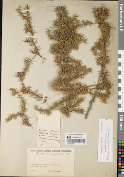
LE 01191499
Juniperus niemannii E.L. Wolf ⟨intermediate forma⟩ det. Orlova, Larisa Vladimirovna at 11.06.2022
Additional identifications: Juniperus communis L. det. Krylov, Porphyriy Nikitich Collectors: Migutskij, V. Collection date: 05.1914. Place of collection: бассейн р. Нюя, у устья р. Оччугуй-Мурбайы (Малый Мурбай, приток р. Нюя), левый берег, склон каменистой горы.Groups of specimens: Образцы сектора Сибири и Дальнего Востока России; Соглашение Минобрнауки №075-15-2021-1056Object features: ЧастоOriginal label text:[1]У устья Малого Мурбая, притока р. Нюи. Лев. бер. На склоне каменистой горы. Часто N [2] Museum Botanicum Academiae Scientiarum Petropolitanae. Juniperus communis L. (Крыл.). Иркутская губ. Киренский у. В бассейне р. Нюи, левого прит. Лены. 1914.V Собр. В. Мигуцкий
Landscape in location of collection: склон каменистой горыCoordinates (geographic position): 60° 57′ 20.41″ N, 115° 9′ 4.28″ E ±3000 mRecord creation: 2022-06-16, Larisa Orlova, PhotoScan D2Citation: Specimen LE 01191499 // Virtual herbarium of Komarov Botanical Institute RAS — http://re.herbariumle.ru/01191499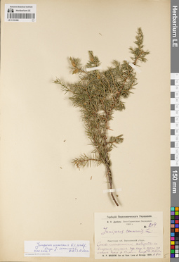
LE 01191498
Juniperus niemannii E.L. Wolf ⟨close to Juniperus communis L.⟩ det. Orlova, Larisa Vladimirovna at 11.06.2022
Additional identifications: Juniperus communis L. det. Drobow, Vasilii Petrovich at 1909 Collectors: Drobow, Vasilii Petrovich Field collecting number: 214. Collection date: 11.07.1909. Administrative regions: RU - Irkutskaya Oblast' - Kazachinsko-Lenskiy Rayon. Place of collection: левый берег р. Киренга близ д. Ханда.Expedition: В.П. Дробов: Лено-Киренгская Экспедиция 1909 г. (1909)Groups of specimens: Образцы сектора Сибири и Дальнего Востока России; Соглашение Минобрнауки №075-15-2021-1056; Гербарий Переселенческого УправленияOriginal label text:Гербарий Переселенческого Управления. В.П. Дробов: Лено-Киренгская Экспедиция 1909 г. № 214. Juniperus communis L. Иркутская губ. Верхоленский уезд. Сосново-лиственничное сообщество со вторым ярусом из ели и кедра на левом берегу р. Киренги близ д. Ханда. W.P. Drobow: Iter ad flum. Lena et Kirenga 1909.11.VII
Landscape in location of collection: берег рекиHabitat / plant community in location of collecting: сосново-лиственничное сообщество со вторым ярусом из ели и кедраCoordinates (geographic position): 54° 59′ 52.91″ N, 107° 13′ 52.59″ E ±3000 mRecord creation: 2022-06-16, Larisa Orlova, PhotoScan D2Citation: Specimen LE 01191498 // Virtual herbarium of Komarov Botanical Institute RAS — http://re.herbariumle.ru/01191498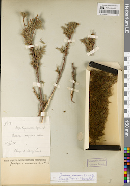
LE 01191497
Juniperus niemannii E.L. Wolf ⟨close to Juniperus communis L.⟩ det. Orlova, Larisa Vladimirovna at 11.06.2022
Additional identifications: Juniperus communis L. det. Krylov, Porphyriy Nikitich Collectors: Kokoukhin. K. Field collecting number: 356. Collection date: 14.06.1910. Administrative regions: RU - Irkutskaya Oblast' - Kirenskiy Rayon. Place of collection: окрестности г. Киренск, склон, опушка леса.Groups of specimens: Образцы сектора Сибири и Дальнего Востока России; Соглашение Минобрнауки №075-15-2021-1056Original label text:N 356. Окр. Киренска, Ирк. губ. Склон, опушка леса. 14/VI 1910. Свящ. К. Кокоухин
Landscape in location of collection: склонHabitat / plant community in location of collecting: опушка лесаCoordinates (geographic position): 57° 46′ 32.62″ N, 108° 6′ 38.97″ E ±10000 mRecord creation: 2022-06-16, Larisa Orlova, PhotoScan D2Citation: Specimen LE 01191497 // Virtual herbarium of Komarov Botanical Institute RAS — http://re.herbariumle.ru/01191497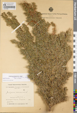
LE 01191496
Juniperus niemannii E.L. Wolf ⟨close to Juniperus sibirica Burgsd.⟩ det. Orlova, Larisa Vladimirovna at 11.06.2022
Additional identifications: Juniperus communis L. det. Kryshtofowicz, African Nikolaevich at 1910 Collectors: Kryshtofowicz, African Nikolaevich Collection date: 02.07.1910. Administrative regions: RU - Irkutskaya Oblast' - Balaganskiy Rayon. Place of collection: таежный берег р. Егирма.Expedition: А.Н. Криштофович: Экспедиция в Око-Ангарский край. 1910 г. (1910)Groups of specimens: Образцы сектора Сибири и Дальнего Востока России; Соглашение Минобрнауки №075-15-2021-1056; Гербарий Переселенческого УправленияOriginal label text:Гербарий Переселенческого Управления. А.Н. Криштофович. Экспедиция в Око-Ангарский край 1910 г. Juniperus communis L. Иркутская губ. Балаган. у. таежный берег Егирмы. 2/VII. 5. A. Kristofovic. Iter ocaensi-angarense. 1910
Landscape in location of collection: берег рекиHabitat / plant community in location of collecting: тайгаCoordinates (geographic position): 55° 6′ 8.56″ N, 103° 4′ 12.72″ E ±30000 mRecord creation: 2022-06-16, Larisa Orlova, PhotoScan D2Citation: Specimen LE 01191496 // Virtual herbarium of Komarov Botanical Institute RAS — http://re.herbariumle.ru/01191496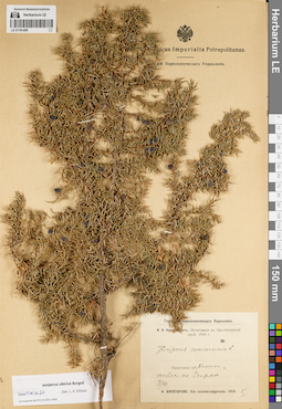
LE 01191495
Juniperus sibirica Burgsd. det. Orlova, Larisa Vladimirovna at 11.06.2022
Additional identifications: Juniperus communis L. det. Kryshtofowicz, African Nikolaevich at 1910 Collectors: Kryshtofowicz, African Nikolaevich Collection date: 03.07.1910. Administrative regions: RU - Irkutskaya Oblast' - Balaganskiy Rayon. Place of collection: тайга по р. Егирма.Expedition: А.Н. Криштофович: Экспедиция в Око-Ангарский край. 1910 г. (1910)Groups of specimens: Образцы сектора Сибири и Дальнего Востока России; Соглашение Минобрнауки №075-15-2021-1056; Гербарий Переселенческого УправленияOriginal label text:Гербарий Переселенческого Управления. А.Н. Криштофович. Экспедиция в Око-Ангарский край 1910 г. Juniperus communis L. Иркутская губ. Балаган. у. тайга по Егирме. 3/VII. 5. A. Kristofovic. Iter ocaensi-angarense. 1910
Habitat / plant community in location of collecting: тайгаCoordinates (geographic position): 55° 7′ 5.19″ N, 102° 58′ 37.81″ E ±30000 mRecord creation: 2022-06-16, Larisa Orlova, PhotoScan D2Citation: Specimen LE 01191495 // Virtual herbarium of Komarov Botanical Institute RAS — http://re.herbariumle.ru/01191495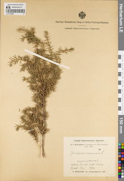
LE 01191494
Juniperus communis L. det. Kryshtofowicz, African Nikolaevich at 1910
Collectors: Kryshtofowicz, African Nikolaevich Collection date: 13.07.1910. Administrative regions: RU - Irkutskaya Oblast'. Place of collection: Нижнеудинский уезд, сырая болотная падь близ Усть-Ия (р. Ия?).Expedition: А.Н. Криштофович: Экспедиция в Око-Ангарский край. 1910 г. (1910)Groups of specimens: Образцы сектора Сибири и Дальнего Востока России; Соглашение Минобрнауки №075-15-2021-1056; Гербарий Переселенческого УправленияOriginal label text:Гербарий Переселенческого Управления. А.Н. Криштофович. Экспедиция в Око-Ангарский край 1910 г. Juniperus communis L. Иркутская губ. Нижнеуд. у. сырая болот. падь близ Усть-Ии. 13/VII. 5. A. Kristofovic. Iter ocaensi-angarense. 1910
Landscape in location of collection: сырая болотная падьCoordinates (geographic position): 53° 59′ 9″ N, 100° 2′ 25.58″ E ±300000 mRecord creation: 2022-06-16, Larisa Orlova, PhotoScan D2Citation: Specimen LE 01191494 // Virtual herbarium of Komarov Botanical Institute RAS — http://re.herbariumle.ru/01191494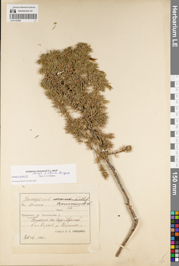
LE 01191493
Juniperus niemannii E.L. Wolf ⟨close to Juniperus sibirica Burgsd.⟩ det. Orlova, Larisa Vladimirovna at 11.06.2022
Additional identifications: Juniperus nana Willd. det. Ganeschin, Sergej Sergejewitsch at 1909; Juniperus communis L. det. Ganeschin, Sergej Sergejewitsch Collectors: Ganeschin, Sergej Sergejewitsch Collection date: 20.06.1909. Administrative regions: RU - Irkutskaya Oblast' - Nizhneilimskiy Rayon. Place of collection: болото по берегу р. Черная близ верховьев р. Илим.Groups of specimens: Образцы сектора Сибири и Дальнего Востока России; Соглашение Минобрнауки №075-15-2021-1056Original label text:Juniperus [nana Willd. - crossed out] communis L. На болоте. Опред. С. Г[анешин]. Иркутской губ. Балаганского у. Болото по бер. Черной бл. верхов. р. Илима. Собрал С.С. Ганешин. 20 VI 1909 г
Habitat / plant community in location of collecting: болотоCoordinates (geographic position): 56° 25′ 58.99″ N, 103° 48′ 16.01″ E ±20000 mRecord creation: 2022-06-16, Larisa Orlova, PhotoScan D2Citation: Specimen LE 01191493 // Virtual herbarium of Komarov Botanical Institute RAS — http://re.herbariumle.ru/01191493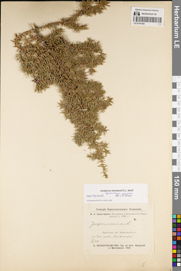
LE 01191492
Juniperus niemannii E.L. Wolf ⟨intermediate forma⟩ det. Orlova, Larisa Vladimirovna at 11.06.2022
Additional identifications: Juniperus communis L. det. Kryshtofowicz, African Nikolaevich at 1908 Collectors: Kryshtofowicz, African Nikolaevich Collection date: 02.08.1908. Administrative regions: RU - Irkutskaya Oblast' - Zhigalovskiy Rayon. Place of collection: р. Полканка (?), дно пади "Полканка".Expedition: А.Н. Криштофович: Экспедиция в Балаганский и Верхоленский у. 1908 г. (1908)Groups of specimens: Образцы сектора Сибири и Дальнего Востока России; Соглашение Минобрнауки №075-15-2021-1056; Гербарий Переселенческого УправленияOriginal label text:Гербарий Переселенческого Управления. А.Н. Криштофович: Экспедиция в Балаганский и Верхоленский у. 1908 г. Juniperus communis L. Иркутская губ. Верхоленский у. на дне пади "Полканка". 2/VIII. A. Kryschtofowitsch: Iter ad distr. Balagansk et Wercholensk 1908
Landscape in location of collection: дно падиCoordinates (geographic position): 54° 57′ 9.36″ N, 104° 36′ 23.49″ E ±10000 mRecord creation: 2022-06-16, Larisa Orlova, PhotoScan D2Citation: Specimen LE 01191492 // Virtual herbarium of Komarov Botanical Institute RAS — http://re.herbariumle.ru/01191492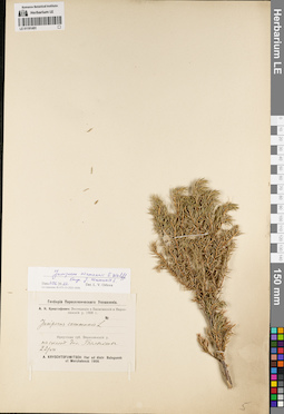
LE 01191491
Juniperus niemannii E.L. Wolf ⟨close to Juniperus communis L.⟩ det. Orlova, Larisa Vladimirovna at 11.06.2022
Additional identifications: Juniperus communis L. det. Kryshtofowicz, African Nikolaevich at 1908 Collectors: Kryshtofowicz, African Nikolaevich Collection date: 22.07.1908. Administrative regions: RU - Irkutskaya Oblast' - Zhigalovskiy Rayon. Place of collection: склон долины р. Балыхта.Expedition: А.Н. Криштофович: Экспедиция в Балаганский и Верхоленский у. 1908 г. (1908)Groups of specimens: Образцы сектора Сибири и Дальнего Востока России; Соглашение Минобрнауки №075-15-2021-1056; Гербарий Переселенческого УправленияOriginal label text:Гербарий Переселенческого Управления. А.Н. Криштофович: Экспедиция в Балаганский и Верхоленский у. 1908 г. Juniperus communis L. Иркутская губ. Верхоленский у. на склоне дол. Балыхты. 22/VII. A. Kryschtofowitsch: Iter ad distr. Balagansk et Wercholensk 1908
Landscape in location of collection: склон долины рекиCoordinates (geographic position): 54° 30′ 20.06″ N, 104° 19′ 3.52″ E ±5000 mRecord creation: 2022-06-16, Larisa Orlova, PhotoScan D2Citation: Specimen LE 01191491 // Virtual herbarium of Komarov Botanical Institute RAS — http://re.herbariumle.ru/01191491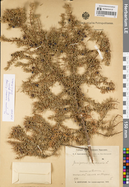
LE 01191490
Juniperus niemannii E.L. Wolf ⟨intermediate forma⟩ det. Orlova, Larisa Vladimirovna at 11.06.2022
Additional identifications: Juniperus communis L. det. Kryshtofowicz, African Nikolaevich at 1910 Collectors: Kryshtofowicz, African Nikolaevich Field collecting number: 5. Collection date: 04.07.1910. Administrative regions: RU - Irkutskaya Oblast' - Balaganskiy Rayon. Place of collection: таежный склон по р. Тарей.Expedition: А.Н. Криштофович: Экспедиция в Око-Ангарский край. 1910 г. (1910)Groups of specimens: Образцы сектора Сибири и Дальнего Востока России; Соглашение Минобрнауки №075-15-2021-1056; Гербарий Переселенческого УправленияOriginal label text:Гербарий Переселенческого Управления. А.Н. Криштофович. Экспедиция в Око-Ангарский край 1910 г. Juniperus communis L. Иркутская губ. Балаган. у. таежный склон по Тарею. 4/VII. 5. A. Kristofovic. Iter ocaensi-angarense. 1910
Landscape in location of collection: таежный склонHabitat / plant community in location of collecting: тайгаCoordinates (geographic position): 55° 14′ 51.88″ N, 102° 47′ 59.24″ E ±25000 mRecord creation: 2022-06-16, Larisa Orlova, PhotoScan D2Citation: Specimen LE 01191490 // Virtual herbarium of Komarov Botanical Institute RAS — http://re.herbariumle.ru/01191490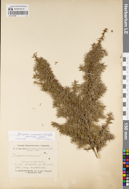
LE 01191489
Juniperus niemannii E.L. Wolf ⟨intermediate forma⟩ det. Orlova, Larisa Vladimirovna at 11.06.2022
Additional identifications: Juniperus communis L. det. Kryshtofowicz, African Nikolaevich at 1908 Collectors: Kryshtofowicz, African Nikolaevich Collection date: 01.08.1908. Administrative regions: RU - Irkutskaya Oblast' - Zhigalovskiy Rayon. Place of collection: р. Тилик, падь Кикерек, старый торфяник.Expedition: А.Н. Криштофович: Экспедиция в Балаганский и Верхоленский у. 1908 г. (1908)Groups of specimens: Образцы сектора Сибири и Дальнего Востока России; Соглашение Минобрнауки №075-15-2021-1056; Гербарий Переселенческого УправленияOriginal label text:Гербарий Переселенческого Управления. А.Н. Криштофович: Экспедиция в Балаганский и Верхоленский у. 1908 г. Juniperus communis L. Иркутская губ. Верхоленский у. в пади Кикерек (пр. Тилика) 1/VIII (стар. торфяник). A. Kryschtofowitsch: Iter ad distr. Balagansk et Wercholensk 1908
Landscape in location of collection: берег рекиHabitat / plant community in location of collecting: старый торфяникSubstrate in collecting location: торфCoordinates (geographic position): 54° 47′ 8.55″ N, 104° 26′ 34.75″ E ±60000 mRecord creation: 2022-06-16, Larisa Orlova, PhotoScan D2Citation: Specimen LE 01191489 // Virtual herbarium of Komarov Botanical Institute RAS — http://re.herbariumle.ru/01191489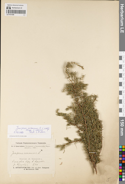
LE 01191488
Juniperus niemannii E.L. Wolf ⟨close to Juniperus sibirica Burgsd.⟩ det. Orlova, Larisa Vladimirovna at 11.06.2022
Additional identifications: Juniperus communis L. det. Kryshtofowicz, African Nikolaevich at 1908 Collectors: Kryshtofowicz, African Nikolaevich Collection date: 05.07.1908. Administrative regions: RU - Irkutskaya Oblast' - Ust'-Udinskiy Rayon. Place of collection: верховья р. Кулундуй, сосновый бор.Expedition: А.Н. Криштофович: Экспедиция в Балаганский и Верхоленский у. 1908 г. (1908)Groups of specimens: Образцы сектора Сибири и Дальнего Востока России; Соглашение Минобрнауки №075-15-2021-1056; Гербарий Переселенческого УправленияOriginal label text:Гербарий Переселенческого Управления. А.Н. Криштофович: Экспедиция в Балаганский и Верхоленский у. 1908 г. Juniperus communis L. Иркутская губ. Балаганский у. в сосновом бору в верховьи р. Кулундуя. 5/VII. A. Kryschtofowitsch: Iter ad distr. Balagansk et Wercholensk 1908
Landscape in location of collection: берег рекиHabitat / plant community in location of collecting: сосновый борCoordinates (geographic position): 54° 21′ 53.11″ N, 104° 0′ 27.76″ E ±10000 mRecord creation: 2022-06-16, Larisa Orlova, PhotoScan D2Citation: Specimen LE 01191488 // Virtual herbarium of Komarov Botanical Institute RAS — http://re.herbariumle.ru/01191488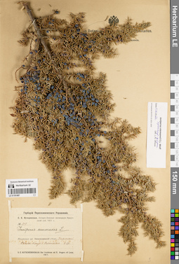
LE 01191487
Juniperus niemannii E.L. Wolf ⟨intermediate forma⟩ det. Orlova, Larisa Vladimirovna at 11.06.2022
Additional identifications: Juniperus communis L. det. Kutscherovskaya, Sofia Evgenevna at 1911 Collectors: Kutscherovskaya, Sofia Evgenevna Field collecting number: 517. Collection date: 02.07.1911. Administrative regions: RU - Irkutskaya Oblast' - Nizhneilimskiy Rayon. Place of collection: скалы близ бывш. г. Илимск (затоп.).Expedition: С.Е. Кучеровская. Ангаро-Ленская экспедиция Иркутской губ. 1911 г. (1911)Groups of specimens: Образцы сектора Сибири и Дальнего Востока России; Соглашение Минобрнауки №075-15-2021-1056; Гербарий Переселенческого УправленияOriginal label text:Гербарий Переселенческого Управления. С.Е. Кучеровская. Ангаро-Ленская экспедиция Иркутской губ. 1911 г. № 517. Juniperus communis L. Иркутская губ. Киренский уезд. Скалы близ г. Илимска. 2.VIi. S.E. Kutscherovskaja: Iter Ircutense ad fl. Angara et Lena. 1911
Landscape in location of collection: скалыCoordinates (geographic position): 56° 45′ 21.24″ N, 103° 45′ 52.2″ E ±10000 mRecord creation: 2022-06-16, Larisa Orlova, PhotoScan D2Citation: Specimen LE 01191487 // Virtual herbarium of Komarov Botanical Institute RAS — http://re.herbariumle.ru/01191487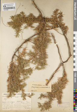
LE 01191486
Juniperus communis L. det. Ikonnikov-Galitzky, Nikolai Petrovic at 12.09.1940
Collectors: Sukaczev, Vladimir Nikolajevich Field collecting number: 1497. Collection date: 20.07.1914. Administrative regions: RU - Irkutskaya Oblast'. Place of collection: г. Иркутск, микрорайон Синюшина гора[?], в пойме ручья.Expedition: Байкальская экспедиция Императорской Академии наук и Императорского Русского географического общества (1914)Groups of specimens: Образцы сектора Сибири и Дальнего Востока России; Соглашение Минобрнауки №075-15-2021-1056Object features: Приземистый куст с приподнимающимися ветвямиOriginal label text:Museum Botanicum Academiae Scientiarum Petropolitanae. Байкальская экспедиция Имп. Академии Наук и Императорского Русского географического общества. 1497. Иркутск. губ. Оз. Байкал. NW берег. Гора Синяя. В густом Laricetum'е на склоне. Приземистый куст с приподнимающимися ветвями. 1914.VII.20. В. Сукачев
Landscape in location of collection: склон горыHabitat / plant community in location of collecting: густой лиственничникCoordinates (geographic position): 52° 16′ 16.49″ N, 104° 12′ 4.82″ E ±2000 mRecord creation: 2022-06-16, Larisa Orlova, PhotoScan D2Citation: Specimen LE 01191486 // Virtual herbarium of Komarov Botanical Institute RAS — http://re.herbariumle.ru/01191486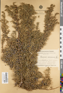
LE 01191485
Juniperus communis L. det. Busch
Collectors: Kutscherovskaya, Sofia Evgenevna Field collecting number: 150. Collection date: 10.06.1911. Administrative regions: RU - Irkutskaya Oblast' - Nizhneilimskiy Rayon. Place of collection: елово-лиственничный лес близ пос. Каймоновский.Expedition: С.Е. Кучеровская. Ангаро-Ленская экспедиция Иркутской губ. 1911 г. (1911)Groups of specimens: Образцы сектора Сибири и Дальнего Востока России; Соглашение Минобрнауки №075-15-2021-1056; Гербарий Переселенческого УправленияOriginal label text:Гербарий Переселенческого Управления. С.Е. Кучеровская. Ангаро-Ленская экспедиция Иркутской губ. 1911 г. № 150. Juniperus communis L. Иркутская губ. Нижнеуд. уезд. Елово-лиственничный лес у д. Каймоновки по Илимскому тракту. 10.VI. S.E. Kutscherovskaja: Iter Ircutense ad fl. Angara et Lena. 1911
Habitat / plant community in location of collecting: елово-лиственничный лесCoordinates (geographic position): 56° 22′ 44.31″ N, 103° 6′ 24.76″ E ±5000 mRecord creation: 2022-06-16, Larisa Orlova, PhotoScan D2Citation: Specimen LE 01191485 // Virtual herbarium of Komarov Botanical Institute RAS — http://re.herbariumle.ru/01191485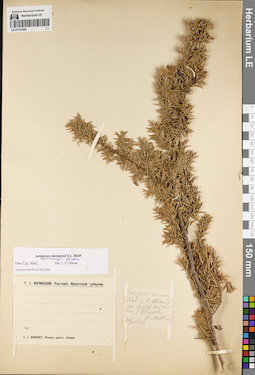
LE 01191484
Groups of specimens: Образцы сектора Сибири и Дальнего Востока России; Соглашение Минобрнауки №075-15-2021-1056Record creation: 2022-06-16, Larisa Orlova, PhotoScan D2Citation: Specimen LE 01191484 // Virtual herbarium of Komarov Botanical Institute RAS — http://re.herbariumle.ru/01191484
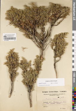
LE 01191483
Juniperus sibirica Burgsd. det. Orlova, Larisa Vladimirovna at 11.06.2022
Additional identifications: Juniperus communis L. det. Savich, N. at 1932 Collectors: Savich, N. Field collecting number: 609. Collection date: 08.1932. Administrative regions: RU - Zabaykal'skiy Kray. Subregion: Каларский муниципальный округ. Place of collection: долина р. Чина (приток р. Калар).Expedition: Экспедиция Восточно-Сибирск. Госземтреста (1932)Groups of specimens: Образцы сектора Сибири и Дальнего Востока России; Соглашение Минобрнауки №075-15-2021-1056Original label text:Экспедиция Восточно-Сибирск. Госземтреста. Растения Витимо-Олекминского (Эвенкийского) национального круга. № 609. Juniperus communis L. Каларский район Каларский хр. Долина р. Чина, притока Калара. VIII 1932 г. Н. Савич
Landscape in location of collection: долина рекиCoordinates (geographic position): 56° 32′ 55.99″ N, 118° 56′ 37.61″ E ±20000 mRecord creation: 2022-06-16, Larisa Orlova, PhotoScan D2Citation: Specimen LE 01191483 // Virtual herbarium of Komarov Botanical Institute RAS — http://re.herbariumle.ru/01191483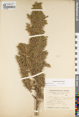
LE 01191482
Juniperus sibirica Burgsd. det. Orlova, Larisa Vladimirovna at 11.06.2022
Additional identifications: Juniperus communis L. det. Ganeschin, Sergej Sergejewitsch at 1909 Collectors: Ganeschin, Sergej Sergejewitsch Collection date: 20.06.1909. Administrative regions: RU - Irkutskaya Oblast' - Ust'-Ilimskiy Rayon. Place of collection: берег р. Марихта, болото.Expedition: С.С. Ганешин: Ангаро-Илимская экспедиция, Иркутской губ. 1909 г. (1909)Groups of specimens: Образцы сектора Сибири и Дальнего Востока России; Соглашение Минобрнауки №075-15-2021-1056; Гербарий Переселенческого УправленияOriginal label text:Гербарий Переселенческого Управления. С.С. Ганешин: Ангаро-Илимская экспедиция, Иркутской губ. 1909 г. Juniperus communis L. Иркутской губ.: Балаганского у. По берегу р. Марихты, на болоте. 20 VI. S. Ganeschin: Iter irkutense ad fl. Angara-Ilim 1909
Landscape in location of collection: берег рекиHabitat / plant community in location of collecting: болотоCoordinates (geographic position): 58° 29′ 24.5″ N, 102° 17′ 45.55″ E ±10000 mRecord creation: 2022-06-16, Larisa Orlova, PhotoScan D2Citation: Specimen LE 01191482 // Virtual herbarium of Komarov Botanical Institute RAS — http://re.herbariumle.ru/01191482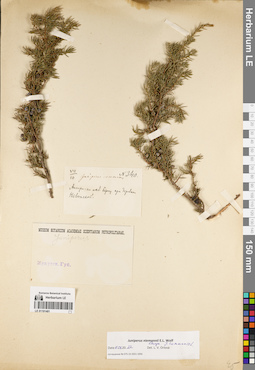
LE 01191481
Juniperus niemannii E.L. Wolf ⟨close to Juniperus communis L.⟩ det. Orlova, Larisa Vladimirovna at 11.06.2022
Additional identifications: Juniperus communis L. Collectors: Vitkovskij, Nikolai Ivanovich Field collecting number: 340. Collection date: 10.07.1882. Administrative regions: RU - Irkutskaya Oblast' - Ust'-Ilimskiy Rayon. Place of collection: р. Ангара, по левому берегу при пос. Невон (Невонская).Groups of specimens: Образцы сектора Сибири и Дальнего Востока России; Соглашение Минобрнауки №075-15-2021-1056Original label text:VII/10. Juniperus communis. N 340. Ангара - на лев. берегу при деревне Невонской
Landscape in location of collection: берег крупной рекиCoordinates (geographic position): 58° 2′ 51.6″ N, 102° 43′ 44.92″ E ±5000 mRecord creation: 2022-06-16, Larisa Orlova, PhotoScan D2Citation: Specimen LE 01191481 // Virtual herbarium of Komarov Botanical Institute RAS — http://re.herbariumle.ru/01191481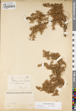
LE 01191480
Juniperus sibirica Burgsd. det. Orlova, Larisa Vladimirovna at 11.06.2022
Additional identifications: Juniperus communis L. Collectors: Vitkovskij, Nikolai Ivanovich Field collecting number: 339. Collection date: 03.06.1882. Administrative regions: RU - Irkutskaya Oblast' - Shelekhovskiy Rayon. Place of collection: р. Иркут, близ почт. ст. Глубоковская (совр. Глубокая), вершина горы.Groups of specimens: Образцы сектора Сибири и Дальнего Востока России; Соглашение Минобрнауки №075-15-2021-1056Original label text:VI/3 Juniperus communis. N 339. Р. Иркут - бл. ст. Глубоковской - на вершине горы. Витковский
Landscape in location of collection: вершина горыCoordinates (geographic position): 51° 53′ 33.07″ N, 103° 50′ 55.36″ E ±3000 mRecord creation: 2022-06-16, Larisa Orlova, PhotoScan D2Citation: Specimen LE 01191480 // Virtual herbarium of Komarov Botanical Institute RAS — http://re.herbariumle.ru/01191480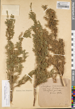
LE 01191479
Groups of specimens: Образцы сектора Сибири и Дальнего Востока России; Соглашение Минобрнауки №075-15-2021-1056Record creation: 2022-06-16, Larisa Orlova, PhotoScan D2Citation: Specimen LE 01191479 // Virtual herbarium of Komarov Botanical Institute RAS — http://re.herbariumle.ru/01191479
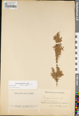
LE 01191478
Groups of specimens: Образцы сектора Сибири и Дальнего Востока России; Соглашение Минобрнауки №075-15-2021-1056Record creation: 2022-06-16, Larisa Orlova, PhotoScan D2Citation: Specimen LE 01191478 // Virtual herbarium of Komarov Botanical Institute RAS — http://re.herbariumle.ru/01191478

LE 01191477
Groups of specimens: Образцы сектора Сибири и Дальнего Востока России; Соглашение Минобрнауки №075-15-2021-1056Record creation: 2022-06-16, Larisa Orlova, PhotoScan D2Citation: Specimen LE 01191477 // Virtual herbarium of Komarov Botanical Institute RAS — http://re.herbariumle.ru/01191477
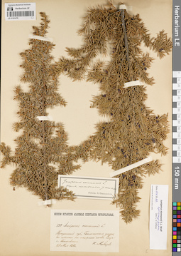
LE 01191476
Juniperus niemannii E.L. Wolf ⟨intermediate forma⟩ det. Orlova, Larisa Vladimirovna at 11.06.2022
Additional identifications: Juniperus communis L. det. Maltzev, Nicolai Ivanovich at 1903; Juniperus communis L. ⟨intermediate forma to Juniperus nana Willd.⟩ det. Ganeschin, Sergej Sergejewitsch Collectors: Maltzev, Nicolai Ivanovich Field collecting number: 334. Collection date: 28.05.1903. Administrative regions: RU - Irkutskaya Oblast' - Cheremkhovskiy Rayon. Place of collection: близ с. Бажей (Бажеевское), ельник на торфяной почве.Groups of specimens: Образцы сектора Сибири и Дальнего Востока России; Соглашение Минобрнауки №075-15-2021-1056Original label text:Museum Botanicum Academiae Scientiarum Petropolitanae. 334. Juniperus communis L. Иркутской губ., Балаганского уезда, в ельнике на торфяной почве близ с. Бажеевского. 28 Мая 1903 г. Н. Мальцев
Habitat / plant community in location of collecting: ельникSubstrate in collecting location: торфCoordinates (geographic position): 52° 58′ 28.15″ N, 102° 38′ 25.47″ E ±3000 mRecord creation: 2022-06-16, Larisa Orlova, PhotoScan D2Citation: Specimen LE 01191476 // Virtual herbarium of Komarov Botanical Institute RAS — http://re.herbariumle.ru/01191476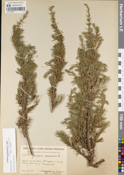
LE 01191475
Juniperus niemannii E.L. Wolf ⟨close to Juniperus communis L.⟩ det. Orlova, Larisa Vladimirovna at 11.06.2022
Additional identifications: Juniperus communis L. det. Steinberg, Elisabeth Ivanovna Collectors: Zinserling (Tsinzerling), Iurij (Yuri, Georgius) Dmitrievitch Field collecting number: 2658. Collection date: 26.07.1915. Administrative regions: RU - Respublika Buryatiya; RU - Irkutskaya Oblast'. Place of collection: оз. Байкал, близ устья р. Ситрная, сырой лес.Expedition: Байкальская экспедиция Императорской Академии Наук (1915)Groups of specimens: Образцы сектора Сибири и Дальнего Востока России; Соглашение Минобрнауки №075-15-2021-1056Original label text:Museum Botanicum Academiae Scientiarum Petropolitanae. Байкальская экспедиция Императорской Академии Наук. 2658. Juniperus communis L. Иркутск. губ. Оз. Байкал. В сыром лесу, близ устья р. Ситрной. 1915.VII.26. Ю. Цинзерлинг. Det. E. Steinberg
Landscape in location of collection: берег крупного озераHabitat / plant community in location of collecting: сырой лесCoordinates (geographic position): 53° 24′ 19.2″ N, 107° 40′ 23.01″ E ±400000 mRecord creation: 2022-06-16, Larisa Orlova, PhotoScan D2Citation: Specimen LE 01191475 // Virtual herbarium of Komarov Botanical Institute RAS — http://re.herbariumle.ru/01191475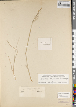
LE 01163666
Groups of specimens: Гербарий Карла Бернхарда Триниуса; Соглашение Минобрнауки №075-15-2021-1056Record creation: 2022-06-16, Larisa Orlova, PhotoScan D2Citation: Specimen LE 01163666 // Virtual herbarium of Komarov Botanical Institute RAS — http://re.herbariumle.ru/01163666
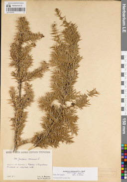
LE 01191474
Juniperus niemannii E.L. Wolf ⟨intermediate forma⟩ det. Orlova, Larisa Vladimirovna at 11.06.2022
Additional identifications: Juniperus communis L. det. Litvinov, Dimitri Ivanovich at 1905 Collectors: Maltzev, Nicolai Ivanovich Field collecting number: 334. Collection date: 15.05.1905. Administrative regions: RU - Irkutskaya Oblast' - Cheremkhovskiy Rayon. Place of collection: окрестности с. Бажей (Бажеевское), ельник на торфяной почве.Groups of specimens: Образцы сектора Сибири и Дальнего Востока России; Соглашение Минобрнауки №075-15-2021-1056Original label text:Museum Botanicum Academiae Scientiarum Petropolitanae. 334. Juniperus communis L. Иркутск. губ. Балаганск. у. Окрестн. с. Бажеевского. В ельнике на торфяной почве. 1905 15 V. Собр. Н. Мальцев. Опр. Д. Литвинов
Habitat / plant community in location of collecting: ельникSubstrate in collecting location: торфCoordinates (geographic position): 52° 58′ 28.15″ N, 102° 38′ 25.47″ E ±5000 mRecord creation: 2022-06-16, Larisa Orlova, PhotoScan D2Citation: Specimen LE 01191474 // Virtual herbarium of Komarov Botanical Institute RAS — http://re.herbariumle.ru/01191474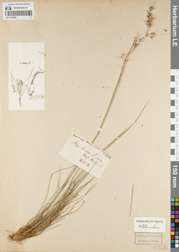
LE 01163665
Groups of specimens: Гербарий Карла Бернхарда Триниуса; Соглашение Минобрнауки №075-15-2021-1056Record creation: 2022-06-16, Larisa Orlova, PhotoScan D2Citation: Specimen LE 01163665 // Virtual herbarium of Komarov Botanical Institute RAS — http://re.herbariumle.ru/01163665
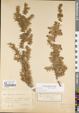
LE 01191473
Juniperus communis L. ⟨intermediate forma to Juniperus nana Willd.⟩ det. Ganeschin, Sergej Sergejewitsch
Additional identifications: Juniperus communis L. det. Maltzev, Nicolai Ivanovich at 1908 Collectors: Maltzev, Nicolai Ivanovich Field collecting number: 1039. Collection date: 12.05.1908. Administrative regions: RU - Irkutskaya Oblast' - Ust'-Udinskiy Rayon. Place of collection: окрестности дер. Щербакова, ельник в долине р. Еловка.Groups of specimens: Образцы сектора Сибири и Дальнего Востока России; Соглашение Минобрнауки №075-15-2021-1056Original label text:1039. juniperus communis L. Иркутской губ., Балаганск. уез., окрестности д. Щербаковой. Ельник в долине р. Еловки. 12 Мая 1908 г. Н. Мальцев
Landscape in location of collection: долина рекиHabitat / plant community in location of collecting: ельникCoordinates (geographic position): 54° 31′ 30.59″ N, 103° 30′ 50.44″ E ±10000 mRecord creation: 2022-06-16, Larisa Orlova, PhotoScan D2Citation: Specimen LE 01191473 // Virtual herbarium of Komarov Botanical Institute RAS — http://re.herbariumle.ru/01191473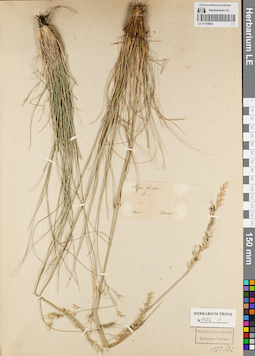
LE 01163664
Groups of specimens: Гербарий Карла Бернхарда Триниуса; Соглашение Минобрнауки №075-15-2021-1056Record creation: 2022-06-16, Larisa Orlova, PhotoScan D2Citation: Specimen LE 01163664 // Virtual herbarium of Komarov Botanical Institute RAS — http://re.herbariumle.ru/01163664
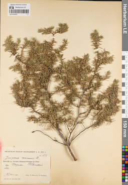
LE 01191472
Juniperus communis L. det. Vassiljev, Jakov Jakovlevitch, Korovkin, Avenir Alexandrovich at 1931
Collectors: Vassiljev, Jakov Jakovlevitch; Korovkin, Avenir Alexandrovich Field collecting number: 268. Collection date: 13.07.1931. Administrative regions: RU - Irkutskaya Oblast' - Bratskiy Rayon. Place of collection: бассейн р. Ангара, хр. Хариха, пихтовый лес.Expedition: Ангарская лесная экспедиция А.Н. 1931 г. (1931)Groups of specimens: Образцы сектора Сибири и Дальнего Востока России; Соглашение Минобрнауки №075-15-2021-1056Original label text:Ангарская лесная экспедиция А.Н. 1931 г. № 268. juniperus communis L. Бассейн р. Ангары. хр. Хариха. Пихтовый лес. 13/VII-1931 г. Собр. Я. Васильев, А. Коровкин
Landscape in location of collection: склон горного хребтаHabitat / plant community in location of collecting: пихтовый лесCoordinates (geographic position): 56° 4′ 45.78″ N, 100° 58′ 11.52″ E ±10000 mRecord creation: 2022-06-16, Larisa Orlova, PhotoScan D2Citation: Specimen LE 01191472 // Virtual herbarium of Komarov Botanical Institute RAS — http://re.herbariumle.ru/01191472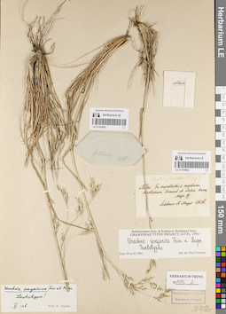
LE 01163663
Groups of specimens: Гербарий Карла Бернхарда Триниуса; Соглашение Минобрнауки №075-15-2021-1056Record creation: 2022-06-16, Larisa Orlova, PhotoScan D2Citation: Specimen LE 01163663 // Virtual herbarium of Komarov Botanical Institute RAS — http://re.herbariumle.ru/01163663
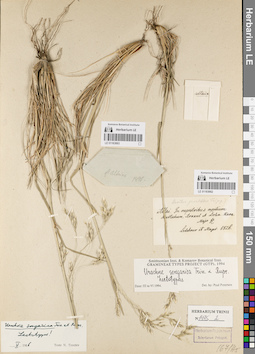
LE 01163662
Lectotype of Urachne songarica Trin. & Rupr. det. Tzvelev, Nikolai Nikolaievich
Collectors: Meyer, Carl Anton von; Ledebour, Carl (Karl) Friedrich von [Ledebour] Field collecting number: 1475.2. Collection date: 1826. Administrative regions: KZ - East Kazakhstan. Expedition: Экспедиция на Алтай и в Восточный Казахстан (1826 -1826)Groups of specimens: Гербарий Карла Бернхарда Триниуса; Соглашение Минобрнауки №075-15-2021-1056Original label text:Altai. In rupestribus montium Kurtschum, Arkaul et Dolen-Kara. Majo fl. [manu Trinii]
Record creation: 2022-06-16, Larisa Orlova, PhotoScan D2Citation: Specimen LE 01163662 // Virtual herbarium of Komarov Botanical Institute RAS — http://re.herbariumle.ru/01163662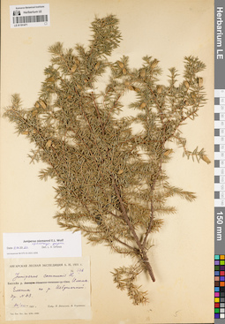
LE 01191471
Juniperus niemannii E.L. Wolf ⟨intermediate forma⟩ det. Orlova, Larisa Vladimirovna at 11.06.2022
Additional identifications: Juniperus communis L. det. Vassiljev, Jakov Jakovlevitch, Korovkin, Avenir Alexandrovich at 1931 Collectors: Vassiljev, Jakov Jakovlevitch; Korovkin, Avenir Alexandrovich Field collecting number: 676. Collection date: 30.08.1931. Administrative regions: RU - Irkutskaya Oblast' - Ust'-Ilimskiy Rayon. Place of collection: бассейн р. Илим, ельник по р. Избушечная.Expedition: Ангарская лесная экспедиция А.Н. 1931 г. (1931)Groups of specimens: Образцы сектора Сибири и Дальнего Востока России; Соглашение Минобрнауки №075-15-2021-1056Original label text:Ангарская лесная экспедиция А.Н. 1931 г. № 676. Juniperus communis L. Бассейн р. Илима. Ельник по р. Избушечной. Пр. N 43. 30/VIII-1931 г. Собр. Я. Васильев, А. Коровкин
Landscape in location of collection: берег рекиHabitat / plant community in location of collecting: ельникCoordinates (geographic position): 57° 30′ 5.08″ N, 102° 57′ 51.95″ E ±10000 mRecord creation: 2022-06-16, Larisa Orlova, PhotoScan D2Citation: Specimen LE 01191471 // Virtual herbarium of Komarov Botanical Institute RAS — http://re.herbariumle.ru/01191471