View
Add
Copy
Edit
Delete
LE 01191297
Groups of specimens: Образцы общего сектораRecord creation: 2022-06-16, Larisa Orlova, PhotoScan D2Citation: Specimen LE 01191297 // Virtual herbarium of Komarov Botanical Institute RAS — http://re.herbariumle.ru/01191297
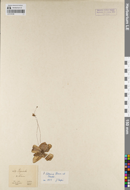
LE 01191296
Groups of specimens: Образцы общего сектораRecord creation: 2022-06-16, Larisa Orlova, PhotoScan D2Citation: Specimen LE 01191296 // Virtual herbarium of Komarov Botanical Institute RAS — http://re.herbariumle.ru/01191296
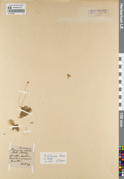
LE 01191295
Groups of specimens: Образцы общего сектораRecord creation: 2022-06-16, Larisa Orlova, PhotoScan D2Citation: Specimen LE 01191295 // Virtual herbarium of Komarov Botanical Institute RAS — http://re.herbariumle.ru/01191295
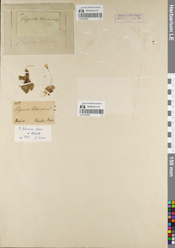
LE 01191293
Groups of specimens: Образцы общего сектораRecord creation: 2022-06-16, Larisa Orlova, PhotoScan D2Citation: Specimen LE 01191293 // Virtual herbarium of Komarov Botanical Institute RAS — http://re.herbariumle.ru/01191293
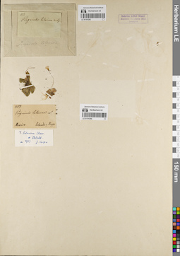
LE 01191294
Groups of specimens: Образцы общего сектораRecord creation: 2022-06-16, Larisa Orlova, PhotoScan D2Citation: Specimen LE 01191294 // Virtual herbarium of Komarov Botanical Institute RAS — http://re.herbariumle.ru/01191294
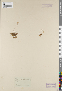
LE 01191292
Groups of specimens: Образцы общего сектораRecord creation: 2022-06-16, Larisa Orlova, PhotoScan D2Citation: Specimen LE 01191292 // Virtual herbarium of Komarov Botanical Institute RAS — http://re.herbariumle.ru/01191292
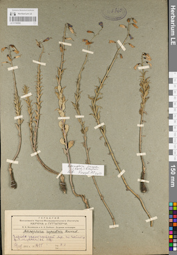
LE 01182582
Adenophora crispata (Turcz. ex Kitag.) Kitag. det. Knjazev, Mikhail Sergeyevich at 2019
Additional identifications: Adenophora rupestris Reverd. Collectors: Ovczinnikov, Pavel Nikolaevich Field collecting number: 1855. Collection date: 19.08.1931. Administrative regions: RU - Zabaykal'skiy Kray - Krasnokamenskiy Rayon. Expedition: П.Н. Овчинников и А.А. Слободов. Даурская экспедиция (1931)Groups of specimens: Образцы сектора Сибири и Дальнего Востока России; Гербарий Всесоюзного Научно-исследовательского института каучука и гуттаперчиOriginal label text:Гербарий Всесоюзного Научно-Исследовательского Института каучука и гуттаперчи.
Coordinates (geographic position): 50° 13′ 52.19″ N, 117° 33′ 26.04″ EComment: П. Н. Овчинников и А. А. Слободов. Даурская экспедиция.
Adenophora rupestris Reverd.
Злаково-разнотравный луг по пойме у д. Алкучаны (оп. 108).
19.VIII.1931
№1855
Leg. П. О.
Herbarium of the All-Union Scientific Research Institute of rubber and gutta-percha.
Record creation: 2022-06-16, Daria Yudova, PhotoScan D2Citation: Specimen LE 01182582 // Virtual herbarium of Komarov Botanical Institute RAS — http://re.herbariumle.ru/01182582P. N. Ovczinnikov and A. A. Slobodov. The Dahurian expedition.
Adenophora rupestris Reverd.
Grass-forb meadow along the floodplain near the village of Alkuchany.
19.08.1931
№1855
Leg. P. Ovczinnikov
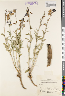
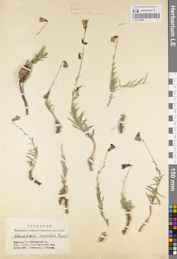
LE 01182581
Adenophora rupestris Reverd.
Collectors: Krasnoborov, Ivan Moiseevich; Ivanina, Lyudmila Ivanovna; Korotkova, Elena Evgenjevna Field collecting number: 1001. Collection date: 11.07.1976. Administrative regions: RU - Respublika Tyva. Groups of specimens: Образцы сектора Сибири и Дальнего Востока России; Гербарий Центрального Сибирского ботанического сада СО АН СССРOriginal label text:Гербарий Центрального Сибирского ботанического сада СО АН СССР
Adenophora rupestris Reverd.
№ 1001
Тувинская АССР, хр. Цаган-Шибету, первая надпойменная терраса р. Варлык, у устья р. Б. Ак-Хем, выс. 1250 м. Мелкодерновинная степь с караганой.
11.7.1976
И. Красноборов, Л. Иванина, Е. Короткова
Republic of Tyva, Tsagan-Shibetu ridge, first floodplain terrace of the Varlyk river, at the mouth of the Bolshoy Ak-Khem river, altitude 1250 m. Small-turf steppe with caragana.
Record creation: 2022-06-16, Daria Yudova, PhotoScan D2Citation: Specimen LE 01182581 // Virtual herbarium of Komarov Botanical Institute RAS — http://re.herbariumle.ru/0118258111.07.1976
Coll. I. Krasnoborov, L. Ivanina, E. Korotkova
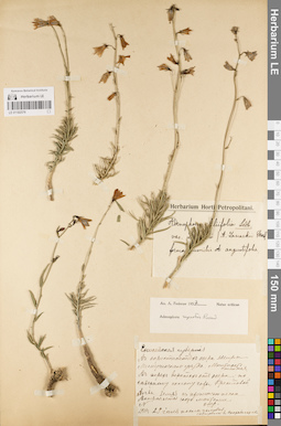
LE 01182580
Adenophora rupestris Reverd.
Collectors: Neyfeld, I.; Vlassova, G. Collection date: 20.07.1967. Administrative regions: RU - Respublika Khakasiya. Groups of specimens: Образцы сектора Сибири и Дальнего Востока России; Гербарий Сибирского отделения Академии наук СССРOriginal label text:Гербарий Сибирского отделения Академии наук СССР
Coordinates (geographic position): 53° 40′ 48.9″ N, 90° 18′ 3.53″ EComment: Adenophora rupestris Reverd.
Хакассия. Усть-Абаканский р-н. Окр. с. Бейка. Склон мраморной горы.
20.VII.1967г.
И. Нейфельд, Г. Власова
Herbarium of the Siberian Branch of the USSR Academy of Sciences
Record creation: 2022-06-16, Daria Yudova, PhotoScan D2Citation: Specimen LE 01182580 // Virtual herbarium of Komarov Botanical Institute RAS — http://re.herbariumle.ru/01182580Adenophora rupestris Reverd.
Khakassia. Ust-Abakansky District. Vicinity of Beika village. The slope of the marble mountain.
20.VII.1967
I. Neyfeld, G. Vlassova
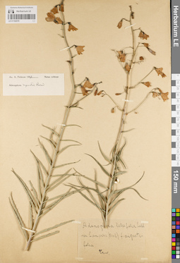
LE 01182579
Adenophora rupestris Reverd. det. Fedorov, Andrey Aleksandrovich at 1957
Additional identifications: Adenophora liliifolia (L.) A. DC. Collectors: Skorobogatova, E. Collection date: 29.07.1911. Administrative regions: RU - Respublika Khakasiya. Groups of specimens: Образцы сектора Сибири и Дальнего Востока РоссииOriginal label text:Енисейская губерния. В окрестностях озера Шира Минусинского уезда. Местность степная. В трех верстах от озера; по северному склону горы Крестовой. Почва: земля с примесью песка. Встречается часто местами.
Coordinates (geographic position): 54° 29′ 54.68″ N, 90° 3′ 56.24″ EComment: 1911г. 29 июля после полудня.
Собирала Е. Скоробогатова
Yenisei province. In the vicinity of Lake Shira, Minusinsk district. Steppe terrain. Three miles from the lake; on the northern slope of Mount Krestovaya. Soil: earth mixed with sand. Often found in places.
29.07.1911
Coll. E. Skorobogatova
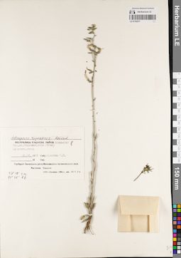
LE 01182578
Adenophora rupestris Reverd. det. Fedorov, Andrey Aleksandrovich at 1957
Groups of specimens: Образцы сектора Сибири и Дальнего Востока РоссииOriginal label text:Adenophora lilifolia Ledeb. var. Lamarkii (Fisch.) f. angustifolia
Record creation: 2022-06-16, Daria Yudova, PhotoScan D2Citation: Specimen LE 01182578 // Virtual herbarium of Komarov Botanical Institute RAS — http://re.herbariumle.ru/01182578[...]
LE 01182577
Adenophora rupestris Reverd.
Collectors: Voronina, M. K. Collection date: 28.06.1993. Administrative regions: RU - Respublika Khakasiya. Groups of specimens: Образцы сектора Сибири и Дальнего Востока России; Гербарий Хакасского республиканского ботанического садаOriginal label text:Adenophora rupestris Reverd.
Coordinates (geographic position): 53° 19′ 0″ N, 90° 46′ 0″ EComment: Республика Хакасия, район Аскизский. Окр. ст. Скальная, гора Уйтаг; каменист. степь.
28.06.1993
Собр. Воронина М. К.
Гербарий Хакасского республиканского ботанического сада
Растения Хакасии
Republic of Khakassia, Askizsky district. Skalnaya station, Uytag mountain; rocky steppe.
28.06.1993
Coll. M. K. Voronina
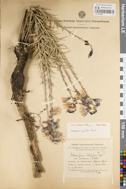
LE 01182576
Adenophora rupestris Reverd. det. Fedorov, Andrey Aleksandrovich at 1957
Additional identifications: Adenophora liliifolia (L.) A. DC. Collectors: Turkevicz, Sergey Yulianovich Field collecting number: 931. Collection date: 21.07.1913. Administrative regions: RU - Respublika Khakasiya. Expedition: С.Ю. Туркевич. Экспедиция в Ачинский и Минусинский уезды Енисейской губ. 1913. (1913)Groups of specimens: Образцы сектора Сибири и Дальнего Востока России; Гербарий Переселенческого УправленияOriginal label text:Гербарий Переселенческого управления
Coordinates (geographic position): 54° 43′ 44.56″ N, 89° 15′ 42.83″ EComment: С.Ю. Туркевич. Экспедиция в Ачинский и Минусинский уезды Енисейской губ. 1913.
№ 931.
Adenophora liliifolia Ledeb. var. lamarkii (Fisch.)
Енисейская губ., Ачинский уезд, южный каменистый склон сопки у Черного Юса близ оз. Ошколь.
S. Turkewitsch. Iter ad distr. Atchinsk et Minussinsk (Gub. Enisseisk) 1913.21.VII.
S. Yu. Turkevich. Expedition to the Achinsk and Minusinsk districts of Yenisei province. 1913.
№ 931.
Yenisei province, Achinsk district, southern rocky slope of the hill near Cherny Yus near Lake Oshkol.
21.07.1913
Coll. S. Turkewitsch
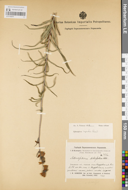
LE 01182575
Adenophora rupestris Reverd. det. Fedorov, Andrey Aleksandrovich at 1957
Collectors: Kusnezow (Kuznetszov, Kusnezov), Ivan Vasilievich Field collecting number: 486. Collection date: 13.07.1912. Administrative regions: RU - Krasnoyarskiy Kray - Nazarovskiy Rayon. Expedition: И.В. Кузнецов: Экспедиция в Красноярский и Ачинский уезды, Енисейской губ. 1912 (1912)Groups of specimens: Образцы сектора Сибири и Дальнего Востока России; Гербарий Переселенческого УправленияOriginal label text:Гербарий Переселенческого управления
Coordinates (geographic position): 55° 56′ 47.92″ N, 90° 23′ 52.66″ EComment: И.В. Кузнецов: Экспедиция в Красноярский и Ачинский уезды, Енисейской губ. 1912
№ 486
Adenophora
Енисейская губ., Ачинский уезд: Назаровская вол., в 8 в. на юг от с. Назаровского, слабый западный склон, редкий молодой березняк.
I. W. Kusnezow: Iter ad distr. Krasnojarsk et Atschinsk (Gub. Enisseisk.) 1912. 13/VII.
I.V. Kuznetsov: Expedition to Krasnoyarsk and Achinsk districts, Yenisei province. 1912
Record creation: 2022-06-16, Daria Yudova, PhotoScan D2Citation: Specimen LE 01182575 // Virtual herbarium of Komarov Botanical Institute RAS — http://re.herbariumle.ru/01182575№ 486
Yenisei province, Achinsk district: Nazarovskaya volost, 8 km south of the village of Nazarovskoye, gentle western slope, sparse young birch forest.
13.07.1912
Coll. I.V. Kuznetsov
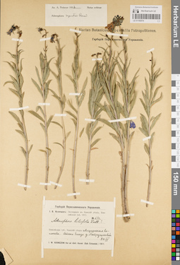
LE 01182574
Adenophora rupestris Reverd. det. Fedorov, Andrey Aleksandrovich at 1957
Collectors: Kusnezow (Kuznetszov, Kusnezov), Ivan Vasilievich Field collecting number: 630. Collection date: 24.06.1911. Administrative regions: RU - Krasnoyarskiy Kray - Kanskiy Rayon. Expedition: И.В. Кузнецов: Экспедиция в Канский уезд, Енисейской губ. 1911 (1911)Groups of specimens: Образцы сектора Сибири и Дальнего Востока России; Гербарий Переселенческого УправленияOriginal label text:Гербарий Переселенческого управления
Coordinates (geographic position): 56° 8′ 1.06″ N, 95° 11′ 56.68″ EComment: И.В. Кузнецов: Экспедиция в Канский уезд, Енисейской губ. 1911
№ 630
Adenophora lilifolia Ledeb.
Енисейская губ., Канский уезд: Анцирская волость. Степь близ д. Петрушковой.
I. W. Kusnezow: Iter ad distr. Kansk (Gub. Enisseisk.) 1911. 24.VI.
№ 630
Record creation: 2022-06-16, Daria Yudova, PhotoScan D2Citation: Specimen LE 01182574 // Virtual herbarium of Komarov Botanical Institute RAS — http://re.herbariumle.ru/01182574Yenisei province, Kansk district: Antsirskaya volost. Steppe near the village of Petrushkova.
24.06.1911
Coll. I. W. Kusnezow
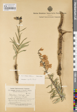
LE 01182573
Adenophora rupestris Reverd. det. Fedorov, Andrey Aleksandrovich at 1957
Collectors: Turkevicz, Sergey Yulianovich Field collecting number: 568. Collection date: 26.06.1913. Administrative regions: RU - Krasnoyarskiy Kray - Uzhurskiy Rayon. Expedition: С.Ю. Туркевич. Экспедиция в Ачинский и Минусинский уезды Енисейской губ. 1913. (1913)Groups of specimens: Образцы сектора Сибири и Дальнего Востока России; Гербарий Переселенческого УправленияOriginal label text:Гербарий Переселенческого управления
Coordinates (geographic position): 55° 34′ 1.45″ N, 89° 42′ 5.84″ EComment: С.Ю. Туркевич. Экспедиция в Ачинский и Минусинский уезды Енисейской губ. 1913.
№ 568
Adenophora liliifolia Ledb. var. lamarkii (Fisch.)
Енисейская губ., Ачинский уезд, Никольская вол. Увалы в 8 в. к востоку от с. Корниловского.
S. Turkewitsch. Iter ad distr. Atschinsk et Minussinsk (Gub. Enisseisk) 1913. 26/VI.
№ 568
Record creation: 2022-06-16, Daria Yudova, PhotoScan D2Citation: Specimen LE 01182573 // Virtual herbarium of Komarov Botanical Institute RAS — http://re.herbariumle.ru/01182573Yenisei province, Achinsk district, Nikolskaya volost. 8 km east of the village of Kornilovsky.
26.06.1913
Coll. S. Turkewitsch
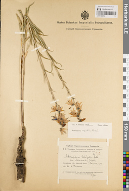
LE 01182572
Adenophora rupestris Reverd. det. Fedorov, Andrey Aleksandrovich at 1957
Additional identifications: Adenophora liliifolia (L.) A. DC. Collectors: Turkevicz, Sergey Yulianovich Field collecting number: 715. Collection date: 11.07.1913. Administrative regions: RU - Krasnoyarskiy Kray - Uzhurskiy Rayon. Expedition: С.Ю. Туркевич. Экспедиция в Ачинский и Минусинский уезды Енисейской губ. 1913. (1913)Groups of specimens: Образцы сектора Сибири и Дальнего Востока России; Гербарий Переселенческого УправленияOriginal label text:Гербарий Переселенческого управления
Coordinates (geographic position): 55° 31′ 14.76″ N, 90° 25′ 13.06″ EComment: С.Ю. Туркевич. Экспедиция в Ачинский и Минусинский уезды Енисейской губ. 1913
№ 715
Adenophora liliifolia Ledb. var. lamarkii (Fisch.)
Енисейская губ., Ачинский уезд. Склон увала бл. с. Солгон.
S. Turkewitsch. Iter ad distr. Atschinsk et Minussinsk (Gub. Enisseisk) 1913. 11/VII.
№ 715
Record creation: 2022-06-16, Daria Yudova, PhotoScan D2Citation: Specimen LE 01182572 // Virtual herbarium of Komarov Botanical Institute RAS — http://re.herbariumle.ru/01182572Yenisei province, Achinsk district. Slope of the ridge near the village of Solgon.
11.07.1913
Coll. S. Turkewitsch
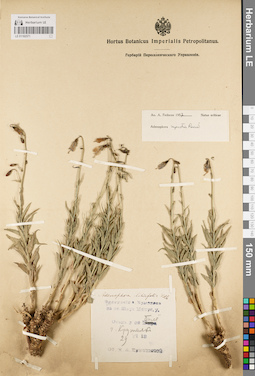
LE 01182571
Adenophora rupestris Reverd. det. Fedorov, Andrey Aleksandrovich at 1957
Additional identifications: Adenophora liliifolia (L.) A. DC. Collectors: Ermolaeva, M. A. Collection date: 29.06.1913. Administrative regions: RU - Respublika Khakasiya - Shirinskiy Rayon. Groups of specimens: Образцы сектора Сибири и Дальнего Востока РоссииOriginal label text:Adenophora liliifolia Ledb.
Экскурсия А. Ермолаева на оз. Шира Минус. у.
Степь у оз. Билё [Белё], г. Крутяк
29.VI.13
Сб. М. А. Ермолаевой
Steppe near Lake Bilyo [Belyo], Krutyak Mountain.
29.06.1913
Coll. M. A. Ermolaeva
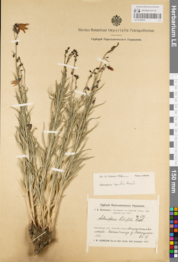
LE 01182570
Adenophora rupestris Reverd. det. Fedorov, Andrey Aleksandrovich at 1957
Additional identifications: Adenophora liliifolia (L.) A. DC. Collectors: Kusnezow (Kuznetszov, Kusnezov), Ivan Vasilievich Field collecting number: 630. Collection date: 24.06.1911. Administrative regions: RU - Krasnoyarskiy Kray - Kanskiy Rayon. Expedition: И.В. Кузнецов: Экспедиция в Канский уезд, Енисейской губ. 1911 (1911)Groups of specimens: Образцы сектора Сибири и Дальнего Востока России; Гербарий Переселенческого УправленияOriginal label text:Гербарий Переселенческого управления
Coordinates (geographic position): 56° 8′ 1.06″ N, 95° 11′ 56.68″ EComment: И.В. Кузнецов: Экспедиция в Канский уезд, Енисейской губ. 1911
№ 630
Adenophora liliifolia Ledb.
Енисейская губ., Канский уезд: Анцирская волость. Степь близ д. Петрушковой.
I. W. Kusnezow: Iter ad distr. Kansk (Gub. Enisseisk.) 1911. 24.VI.
№ 630
Record creation: 2022-06-16, Daria Yudova, PhotoScan D2Citation: Specimen LE 01182570 // Virtual herbarium of Komarov Botanical Institute RAS — http://re.herbariumle.ru/01182570Yenisei province, Kansk district: Antsirskaya volost. Steppe near the village of Petrushkova.
24.06.1911
Coll. I. W. Kusnezow
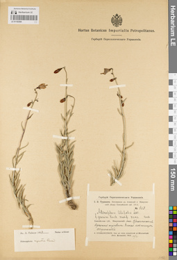
LE 01182569
Adenophora rupestris Reverd. det. Fedorov, Andrey Aleksandrovich at 1957
Additional identifications: Adenophora liliifolia (L.) A. DC. Collectors: Turkevicz, Sergey Yulianovich Field collecting number: 453. Collection date: 14.06.1913. Administrative regions: RU - Respublika Khakasiya. Expedition: С.Ю. Туркевич. Экспедиция в Ачинский и Минусинский уезды Енисейской губ. 1913. (1913)Groups of specimens: Образцы сектора Сибири и Дальнего Востока России; Гербарий Переселенческого УправленияOriginal label text:Гербарий Переселенческого управления
Comment: С.Ю. Туркевич. Экспедиция в Ачинский и Минусинский уезды Енисейской губ. 1913.
№ 453
Adenophora liliifolia Ledb. f. genvina Korsh. modif. nana Korsh.
Енисейская губ., Минусинский уезд. Каменистая вершина перевала близ станицы Форпост.
S. Turkewitsch. Iter ad distr. Atschinsk et Minussinsk (Gub. Enisseisk) 1913. 14/VI.
S. Yu. Turkevich. Expedition to the Achinsk and Minusinsk districts of Yenisei province. 1913.
Record creation: 2022-06-16, Daria Yudova, PhotoScan D2Citation: Specimen LE 01182569 // Virtual herbarium of Komarov Botanical Institute RAS — http://re.herbariumle.ru/01182569№ 453
Yenisei province, Minusinsk district. Rocky peak of the pass near the village of Forpost.
14.06.1913
Coll. S. Yu. Turkevich
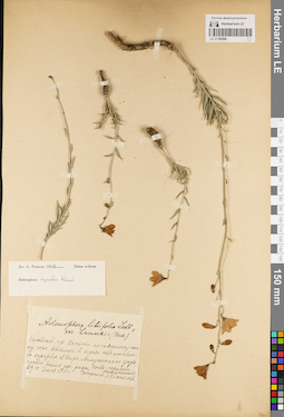
LE 01182568
Adenophora rupestris Reverd. det. Fedorov, Andrey Aleksandrovich at 1957
Additional identifications: Adenophora liliifolia (L.) A. DC. Collectors: Glagoleva, Z.G. Collection date: 29.07.1911. Administrative regions: RU - Respublika Khakasiya. Groups of specimens: Образцы сектора Сибири и Дальнего Востока РоссииOriginal label text:Adenophora liliifolia Ledb. var. lamarkii (Fisch.)
Енисейской губ. В степи, по северному склону горы, верстах в трех от лечебного курорта оз. Шира, Минусинского уезда, часто, белые же редко. Почва - черная с камешником.
29го июля 1911 г.
Собирала З. Глаголева
Yenisei province. In the steppe, on the northern slope of the mountain, about three miles from the health resort of Lake Shira, Minusinsk district, often, white ones are rare. The soil is black with pebbles.
Record creation: 2022-06-16, Daria Yudova, PhotoScan D2Citation: Specimen LE 01182568 // Virtual herbarium of Komarov Botanical Institute RAS — http://re.herbariumle.ru/0118256829.07.1911
Coll. Z.G. Glagoleva
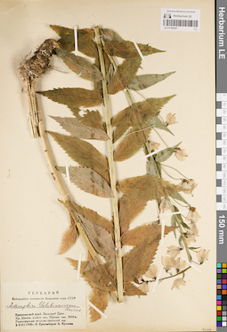
LE 01182567
Adenophora golubinzevaeana Reverd.
Collectors: Krasnoborov, Ivan Moiseevich; Kuklina, L. Collection date: 02.08.1966. Administrative regions: RU - Respublika Khakasiya. Groups of specimens: Образцы сектора Сибири и Дальнего Востока России; Гербарий Сибирского отделения Академии наук СССРOriginal label text:Гербарий Сибирского отделения Академии наук СССР
Coordinates (geographic position): 52° 21′ 32.88″ N, 89° 34′ 20.03″ EComment: Adenophora golubinzevaeana Reverd.
Красноярский край. Западный Саян. Хр. Шаман, вблизи пер. Шаман, выс. 1050 м. Разнотравный кедрово-пихтовый лес.
2.VIII.1966
И. Красноборов, Л. Куклина
Herbarium of the Siberian Branch of the USSR Academy of Sciences
Record creation: 2022-06-16, Daria Yudova, PhotoScan D2Citation: Specimen LE 01182567 // Virtual herbarium of Komarov Botanical Institute RAS — http://re.herbariumle.ru/01182567Adenophora golubinzevaeana Reverd.
Krasnoyarsk Krai. Western Sayan. Shaman ridge, near Shaman pass, altitude 1050 m. Forb cedar-fir forest.
2.VIII.1966
I. Krasnoborov, L. Kuklina
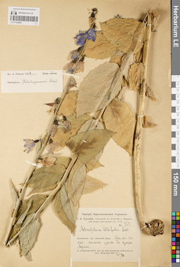
LE 01182566
Adenophora golubinzevaeana Reverd. det. Fedorov, Andrey Aleksandrovich at 1957
Additional identifications: Adenophora liliifolia (L.) A. DC. Collectors: Turkevicz, Sergey Yulianovich Field collecting number: 864. Collection date: 16.07.1913. Administrative regions: RU - Krasnoyarskiy Kray - Sharypovskiy Rayon. Expedition: С.Ю. Туркевич. Экспедиция в Ачинский и Минусинский уезды Енисейской губ. 1913. (1913)Groups of specimens: Образцы сектора Сибири и Дальнего Востока России; Гербарий Переселенческого УправленияOriginal label text:Гербарий Переселенческого управления
Coordinates (geographic position): 55° 18′ 27.8″ N, 89° 31′ 3.1″ EComment: С.Ю. Туркевич. Экспедиция в Ачинский и Минусинский уезды Енисейской губ. 1913.
№ 864
Adenophora liliifolia Ledb.
Енисейская губ., Ачинский уезд. Скалы на сев. склоне увала бл. улуса Арак.
S. Turkewitsch. Iter ad distr. Atschinsk et Minussinsk (Gub. Enisseisk) 1913. 16/VII.
S. Yu. Turkevich. Expedition to the Achinsk and Minusinsk districts of Yenisei province. 1913.
Record creation: 2022-06-16, Daria Yudova, PhotoScan D2Citation: Specimen LE 01182566 // Virtual herbarium of Komarov Botanical Institute RAS — http://re.herbariumle.ru/01182566№ 864
Yenisei province, Achinsk district. Rocks on the northern slope of the ridge near the Arak ulus.
16.08.1913
Coll. S. Yu. Turkevich
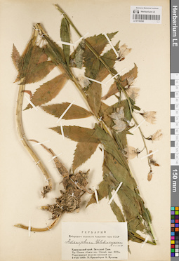
LE 01182565
Adenophora golubinzevaeana Reverd.
Collectors: Krasnoborov, Ivan Moiseevich; Kuklina, L. Collection date: 02.08.1966. Administrative regions: RU - Respublika Khakasiya. Groups of specimens: Образцы сектора Сибири и Дальнего Востока России; Гербарий Сибирского отделения Академии наук СССРOriginal label text:Гербарий Сибирского отделения Академии наук СССР
Coordinates (geographic position): 52° 21′ 32.88″ N, 89° 34′ 20.03″ EComment: Adenophora golubinzevaeana Reverd.
Красноярский край. Западный Саян. Хр. Шаман, вблизи пер. Шаман, выс. 1050 м. Разнотравный кедрово-пихтовый лес.
2.VIII.1966
И. Красноборов, Л. Куклина
Krasnoyarsky Krai. Western Sayan. Shaman Ridge, near Shaman Pass, altitude 1050 m. Mixed-grass cedar-fir forest.
Record creation: 2022-06-16, Daria Yudova, PhotoScan D2Citation: Specimen LE 01182565 // Virtual herbarium of Komarov Botanical Institute RAS — http://re.herbariumle.ru/011825652.08.1966
Coll. I. Krasnoborov, L. Kuklina
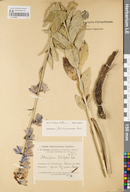
LE 01182564
Adenophora golubinzevaeana Reverd. det. Fedorov, Andrey Aleksandrovich at 1957
Additional identifications: Adenophora liliifolia (L.) A. DC. Collectors: Turkevicz, Sergey Yulianovich Field collecting number: 864. Collection date: 16.08.1913. Administrative regions: RU - Krasnoyarskiy Kray - Sharypovskiy Rayon. Expedition: С.Ю. Туркевич. Экспедиция в Ачинский и Минусинский уезды Енисейской губ. 1913. (1913)Groups of specimens: Образцы сектора Сибири и Дальнего Востока России; Гербарий Переселенческого УправленияOriginal label text:Гербарий Переселенческого управления
Coordinates (geographic position): 55° 18′ 27.8″ N, 89° 31′ 3.1″ EComment: С.Ю. Туркевич. Экспедиция в Ачинский и Минусинский уезды Енисейской губ. 1913.
№ 864
Adenophora liliifolia Ledb.
Енисейская губ., Ачинский уезд. Скалы на сев. склоне увала бл. улуса Арак.
S. Turkewitsch. Iter ad distr. Atschinsk et Minussinsk (Gub. Enisseisk) 1913. 16/VII.
S. Yu. Turkevich. Expedition to the Achinsk and Minusinsk districts of Yenisei province. 1913.
Record creation: 2022-06-16, Daria Yudova, PhotoScan D2Citation: Specimen LE 01182564 // Virtual herbarium of Komarov Botanical Institute RAS — http://re.herbariumle.ru/01182564№ 864
Yenisei province, Achinsk district. Rocks on the northern slope of the ridge near the Arak ulus.
16.08.1913
Coll. S. Yu. Turkevich
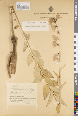
LE 01182563
Adenophora golubinzevaeana Reverd. det. Fedorov, Andrey Aleksandrovich at 1957
Additional identifications: Adenophora liliifolia (L.) A. DC. Collectors: Turkevicz, Sergey Yulianovich Field collecting number: 864. Collection date: 16.08.1913. Administrative regions: RU - Krasnoyarskiy Kray - Sharypovskiy Rayon. Expedition: С.Ю. Туркевич. Экспедиция в Ачинский и Минусинский уезды Енисейской губ. 1913. (1913)Groups of specimens: Образцы сектора Сибири и Дальнего Востока России; Гербарий Переселенческого УправленияOriginal label text:Гербарий Переселенческого управления
Coordinates (geographic position): 55° 18′ 27.8″ N, 89° 31′ 3.1″ EComment: С.Ю. Туркевич. Экспедиция в Ачинский и Минусинский уезды Енисейской губ. 1913.
№ 864
Adenophora liliifolia Ledb.
Енисейская губ., Ачинский уезд. Скалы на северном склоне увала бл. улуса Арак.
S. Turkewitsch. Iter ad distr. Atschinsk et Minussinsk (Gub. Enisseisk) 1913. 16/VII.
S. Yu. Turkevich. Expedition to the Achinsk and Minusinsk districts of Yenisei province. 1913.
Record creation: 2022-06-16, Daria Yudova, PhotoScan D2Citation: Specimen LE 01182563 // Virtual herbarium of Komarov Botanical Institute RAS — http://re.herbariumle.ru/01182563№ 864
Yenisei province, Achinsk district. Rocks on the northern slope of the ridge near the Arak ulus.
16.08.1913
Coll. S. Yu. Turkevich
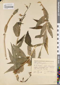
LE 01182562
Adenophora golubinzevaeana Reverd.
Collectors: Tjulina (Tyulina), Lyudmila Nikolaevna Field collecting number: 59. Collection date: 22.07.1945. Administrative regions: RU - Respublika Altay - Turochakskiy Rayon. Groups of specimens: Образцы сектора Сибири и Дальнего Востока РоссииOriginal label text:Ю.В. Алтай. Берег Телецкого озера напротив пос. Яйлю на скалах в тени.
Coordinates (geographic position): 51° 46′ 5.41″ N, 87° 36′ 0.48″ EComment: 1945 22/VII № 59
Собр. Л. Н. Тюлина
Altai. The shore of Lake Teletskoye opposite the village of Yailu. On the rocks in the shade.
Record creation: 2022-06-16, Daria Yudova, PhotoScan D2Citation: Specimen LE 01182562 // Virtual herbarium of Komarov Botanical Institute RAS — http://re.herbariumle.ru/01182562№ 59
22.07.1945
Coll. L. Tjulina
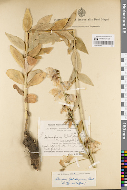
LE 01182561
Adenophora golubinzevaeana Reverd. det. Fedorov, Andrey Aleksandrovich at 1954
Additional identifications: Adenophora liliifolia (L.) A. DC. Collectors: IIjin, Modest Mikhailovich Field collecting number: 437. Collection date: 27.07.1914. Administrative regions: RU - Tomskaya Oblast' - Pervomayskiy Rayon. Expedition: И.В. Кузнецов: Экспедиция в Мариинский уезд Томской губ. 1914. (1914)Groups of specimens: Образцы сектора Сибири и Дальнего Востока России; Гербарий Переселенческого УправленияOriginal label text:Гербарий Переселенческого управления
Coordinates (geographic position): 57° 1′ 34.44″ N, 86° 36′ 36.25″ EComment: И.В. Кузнецов: Экспедиция в Мариинский уезд Томской губ. 1914.
№ 437
Adenophora liliifolia Ledeb. v. lamarkii (Fisch.)
Томская губ., Мариинский уезд: Чердатская вол. Сосново-березовый лес вблизи дер. Медодатской.
J. W. Kusnezow: Iter ad distr. Mariinsk (Gub. Tomsk.) 1914. 27.VII.
Собр. М. М. Ильин
I.V. Kuznetsov: Expedition to Mariinsky District, Tomsk Province. 1914.
Record creation: 2022-06-16, Daria Yudova, PhotoScan D2Citation: Specimen LE 01182561 // Virtual herbarium of Komarov Botanical Institute RAS — http://re.herbariumle.ru/01182561№ 437
Tomsk province, Mariinsky district: Cherdatskaya volost. Pine-birch forest near the village of Medodatskaya.
27.07.1914
Coll. M. M. IIjin
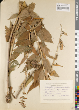
LE 01182560
Adenophora golubinzevaeana Reverd.
Collectors: Tjulina (Tyulina), Lyudmila Nikolaevna Field collecting number: 59. Collection date: 22.07.1945. Administrative regions: RU - Respublika Altay - Turochakskiy Rayon. Groups of specimens: Образцы сектора Сибири и Дальнего Востока РоссииOriginal label text:Ю.В. Алтай. Берег Телецкого озера напротив пос. Яйлю. На скалах в тени.
Coordinates (geographic position): 51° 46′ 5.41″ N, 87° 36′ 0.48″ EComment: 1945 22/VII № 59
Собр. Л. Н. Тюлина
Altai. The shore of Lake Teletskoye opposite the village of Yailu. On the rocks in the shade.
Record creation: 2022-06-16, Daria Yudova, PhotoScan D2Citation: Specimen LE 01182560 // Virtual herbarium of Komarov Botanical Institute RAS — http://re.herbariumle.ru/01182560№ 59
22.07.1945
Coll. L. Tjulina
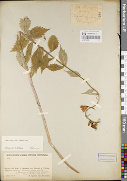
LE 01182559
Adenophora sublata Kom. det. Fedorov, Andrey Aleksandrovich at 1954
Collectors: Sukaczev, Vladimir Nikolajevich; Poplavskaya (Poplawska), Henrietta Ippolitovna Field collecting number: 988. Collection date: 14.07.1910. Administrative regions: RU - Zabaykal'skiy Kray - Tungiro-Olekminskiy Rayon. Groups of specimens: Образцы сектора Сибири и Дальнего Востока России; Museum botan. Acad. Petrop.Original label text:Museum botanicum Academiae Scientiarum Petropolitanae
Coordinates (geographic position): 54° 26′ 15.97″ N, 119° 56′ 8.23″ EComment: 650.
Якутск. обл. Южн. ч. Олекминск. окр. Бассейн р. Тунгира. Правый берег р. Тунгира выше устья р. Бугарикты. Прибрежная заросль. 16-я стоянка. (№ 988)
1910.VII.14.
В. Сукачев и Г. Поплавская.
Yakutsk region. South part of the Olekminsky district. Basin of the Tungir River. Right bank of the Tungir river above the mouth of the Bugarikta river. Coastal thicket.
Record creation: 2022-06-16, Daria Yudova, PhotoScan D2Citation: Specimen LE 01182559 // Virtual herbarium of Komarov Botanical Institute RAS — http://re.herbariumle.ru/0118255914.07.1910
Coll. V. Sukaczev, H. Poplavskaya
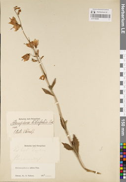
LE 01182558
Adenophora sublata Kom. det. Fedorov, Andrey Aleksandrovich at 1954
Additional identifications: Adenophora liliifolia (L.) A. DC. det. Korshinsky, Sergei Ivanovitsch Administrative regions: RU - Respublika Buryatiya. Groups of specimens: Образцы сектора Сибири и Дальнего Востока России; Herb. FischerOriginal label text:Ex herb. Fischer
Coordinates (geographic position): 51° 52′ 38.26″ N, 107° 35′ 53.89″ EComment: Верхнеудинск
Ex herb. Fischer
Record creation: 2022-06-16, Daria Yudova, PhotoScan D2Citation: Specimen LE 01182558 // Virtual herbarium of Komarov Botanical Institute RAS — http://re.herbariumle.ru/01182558Verkhneudinsk [Ulan-Ude, Buryatia]
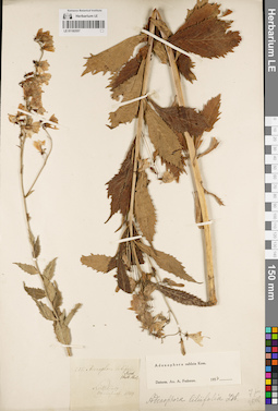
LE 01182557
Adenophora sublata Kom. det. Fedorov, Andrey Aleksandrovich at 1954
Collectors: Sensinoff, Mikhail Andreevich Collection date: 1849. Administrative regions: RU - Zabaykal'skiy Kray - Nerchinskiy Rayon. Groups of specimens: Образцы сектора Сибири и Дальнего Востока РоссииOriginal label text:Nertschinsk.
Coordinates (geographic position): 51° 59′ 46.98″ N, 116° 36′ 12.81″ ERecord creation: 2022-06-16, Daria Yudova, PhotoScan D2Citation: Specimen LE 01182557 // Virtual herbarium of Komarov Botanical Institute RAS — http://re.herbariumle.ru/01182557Leg. Sensinoff 1849
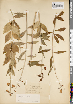
LE 01182556
Adenophora sublata Kom. det. Fedorov, Andrey Aleksandrovich at 1954
Administrative regions: RU - Zabaykal'skiy Kray - Nerchinsko-Zavodskiy Rayon. Groups of specimens: Образцы сектора Сибири и Дальнего Востока РоссииOriginal label text:In Dahuria leget.
Coordinates (geographic position): 51° 19′ 40.45″ N, 119° 36′ 56.9″ EComment: Vladzimerov
Нерчинской завод.
In Dahuria leget.
Record creation: 2022-06-16, Daria Yudova, PhotoScan D2Citation: Specimen LE 01182556 // Virtual herbarium of Komarov Botanical Institute RAS — http://re.herbariumle.ru/01182556Coll. Vladzimerov
Nerchinsk Zavod.
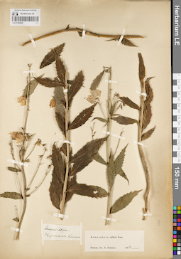
LE 01182555
Adenophora sublata Kom. det. Fedorov, Andrey Aleksandrovich at 1954
Collectors: Sosnin, Kornilo Petrovich Administrative regions: RU - Zabaykal'skiy Kray - Nerchinskiy Rayon. Groups of specimens: Образцы сектора Сибири и Дальнего Востока РоссииOriginal label text:Adenophora laifolia
Нерчинск. СоснинNerchinsk
Coll. Sosnin
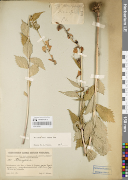
LE 01182554
Adenophora sublata Kom. det. Fedorov, Andrey Aleksandrovich at 1954
Collectors: Abolin, Robert Ivanovich Field collecting number: 601. Collection date: 12.08.1911. Administrative regions: RU - Zabaykal'skiy Kray - Sretenskiy Rayon. Expedition: Нерчинская почвен.-ботан. партия командированной по Высочайшему повелению Амурской Экспедиции (1911)Groups of specimens: Образцы сектора Сибири и Дальнего Востока России; Museum botan. Acad. Petrop.Original label text:Museum botancum Academiae scientiarum Petropolitanae.
Нерчинская почвен.-ботан. партия командированной по Высочайшему повелению Амурской Экспедиции
601. Adenophora
Забайкальск. обл. Басс. р. Куенги. Р. Горбица, устье Горбичикана; лиственничный лес на грубом эллювии.
1911.VII.12
Собр. Р. Аболин
Transbaikal region. Basin of the Kuenga river. Gorbitsa river, mouth of the Gorbichikan; larch forest on coarse eluvium.
Record creation: 2022-06-16, Daria Yudova, PhotoScan D2Citation: Specimen LE 01182554 // Virtual herbarium of Komarov Botanical Institute RAS — http://re.herbariumle.ru/0118255412.08.1911
Coll. R. Abolin
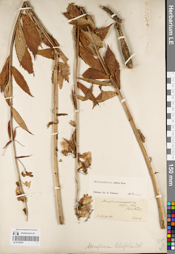
LE 01182553
Adenophora sublata Kom. det. Fedorov, Andrey Aleksandrovich at 1954
Collectors: Sensinoff, Mikhail Andreevich Collection date: 1847. Administrative regions: RU - Zabaykal'skiy Kray. Groups of specimens: Образцы сектора Сибири и Дальнего Востока РоссииOriginal label text:Nertschinsk. 1847
Record creation: 2022-06-16, Daria Yudova, PhotoScan D2Citation: Specimen LE 01182553 // Virtual herbarium of Komarov Botanical Institute RAS — http://re.herbariumle.ru/01182553Sensinoff
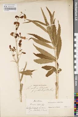
LE 01182552
Adenophora sublata Kom.
Administrative regions: RU - Zabaykal'skiy Kray. Groups of specimens: Образцы сектора Сибири и Дальнего Востока России; Herb. FischerOriginal label text:pr. Nertsch. Sawod
Record creation: 2022-06-16, Daria Yudova, PhotoScan D2Citation: Specimen LE 01182552 // Virtual herbarium of Komarov Botanical Institute RAS — http://re.herbariumle.ru/01182552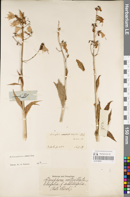
LE 01182551
Adenophora sublata Kom. det. Fedorov, Andrey Aleksandrovich at 1954
Collectors: Sensinoff, Mikhail Andreevich Collection date: 1844. Administrative regions: RU - Zabaykal'skiy Kray. Groups of specimens: Образцы сектора Сибири и Дальнего Востока РоссииOriginal label text:Nertschinsk. 1844
Record creation: 2022-06-16, Daria Yudova, PhotoScan D2Citation: Specimen LE 01182551 // Virtual herbarium of Komarov Botanical Institute RAS — http://re.herbariumle.ru/01182551Sensinoff
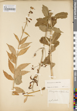
LE 01182550
Adenophora sublata Kom. det. Fedorov, Andrey Aleksandrovich at 1954
Administrative regions: RU - Zabaykal'skiy Kray. Groups of specimens: Образцы сектора Сибири и Дальнего Востока РоссииOriginal label text:Ad fl. Schilka
Record creation: 2022-06-16, Daria Yudova, PhotoScan D2Citation: Specimen LE 01182550 // Virtual herbarium of Komarov Botanical Institute RAS — http://re.herbariumle.ru/01182550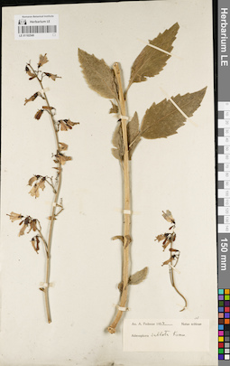
LE 01182549
Adenophora sublata Kom. det. Fedorov, Andrey Aleksandrovich at 1954
Groups of specimens: Образцы сектора Сибири и Дальнего Востока РоссииRecord creation: 2022-06-16, Daria Yudova, PhotoScan D2Citation: Specimen LE 01182549 // Virtual herbarium of Komarov Botanical Institute RAS — http://re.herbariumle.ru/01182549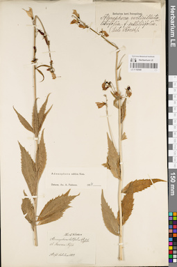
LE 01182548
Adenophora sublata Kom. det. Fedorov, Andrey Aleksandrovich at 1954
Collection date: 1833. Administrative regions: RU - Zabaykal'skiy Kray. Groups of specimens: Образцы сектора Сибири и Дальнего Востока РоссииOriginal label text:Ad fl. Schilka 1833
Record creation: 2022-06-16, Daria Yudova, PhotoScan D2Citation: Specimen LE 01182548 // Virtual herbarium of Komarov Botanical Institute RAS — http://re.herbariumle.ru/01182548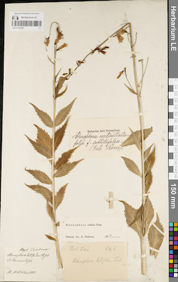
LE 01182547
Adenophora sublata Kom. det. Fedorov, Andrey Aleksandrovich at 1954
Collection date: 1833. Administrative regions: RU - Zabaykal'skiy Kray. Groups of specimens: Образцы сектора Сибири и Дальнего Востока России; Herb. LedebourOriginal label text:Ad fl. Schilka 1833
Record creation: 2022-06-16, Daria Yudova, PhotoScan D2Citation: Specimen LE 01182547 // Virtual herbarium of Komarov Botanical Institute RAS — http://re.herbariumle.ru/01182547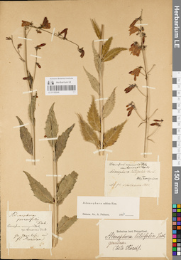
LE 01182546
Adenophora sublata Kom. det. Fedorov, Andrey Aleksandrovich at 1954
Groups of specimens: Образцы сектора Сибири и Дальнего Востока РоссииRecord creation: 2022-06-16, Daria Yudova, PhotoScan D2Citation: Specimen LE 01182546 // Virtual herbarium of Komarov Botanical Institute RAS — http://re.herbariumle.ru/01182546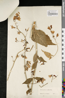
LE 01182545
Adenophora sublata Kom. det. Fedorov, Andrey Aleksandrovich at 1954
Groups of specimens: Образцы сектора Сибири и Дальнего Востока РоссииOriginal label text:Fischer
Comment: + LE 01182544
Record creation: 2022-06-16, Daria Yudova, PhotoScan D2Citation: Specimen LE 01182545 // Virtual herbarium of Komarov Botanical Institute RAS — http://re.herbariumle.ru/01182545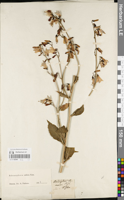
LE 01182544
Adenophora sublata Kom. det. Fedorov, Andrey Aleksandrovich at 1954
Groups of specimens: Образцы сектора Сибири и Дальнего Востока России; Herb. LedebourOriginal label text:Fischer
Comment: + LE 01182545
Record creation: 2022-06-16, Daria Yudova, PhotoScan D2Citation: Specimen LE 01182544 // Virtual herbarium of Komarov Botanical Institute RAS — http://re.herbariumle.ru/01182544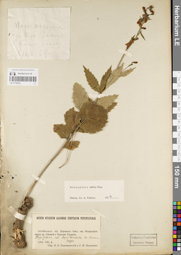
LE 01182543
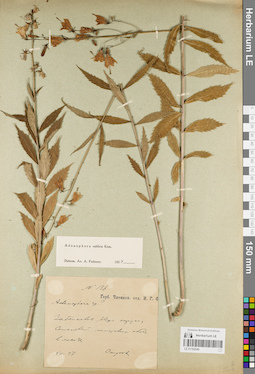
Adenophora sublata Kom. det. Fedorov, Andrey Aleksandrovich at 1954
Collectors: Blagoveshchensky, N.V.; Poplavskaya (Poplawska), Henrietta Ippolitovna Collection date: 02.08.1909. Administrative regions: RU - Zabaykal'skiy Kray - Mogochinskiy Rayon. Groups of specimens: Образцы сектора Сибири и Дальнего Востока России; Museum botan. Acad. Petrop.Original label text:Museum botanicum Academiae scientiarum Petropolitanae.
Coordinates (geographic position): 53° 31′ 36.22″ N, 119° 13′ 47.52″ EComment: Забайкальск. обл. Нерчинско-Завод. окр. Водораздел между рр. Шилкой и Черным Урюмом. Падь, дорога из Верх-Давенды в Киюги. Гарь.
1909.VIII.2
Собр. Н.В. Благовещенский и Г.И. Поплавская
Transbaikal region. Nerchinsko-Zavodskoy district. Watershed between the Shilka and Cherny Uryum rivers. Road from Verkh-Davenda to Kiyugi.
2.08.1909
Coll. N.V. Blagoveshchensky, H. I. Poplavskaya
LE 01182542
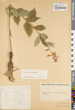
Adenophora sublata Kom. det. Fedorov, Andrey Aleksandrovich at 1954
Collectors: Stukow, Georgij Andreevitch Field collecting number: 136. Collection date: 07.1897. Administrative regions: RU - Zabaykal'skiy Kray - Baleyskiy Rayon. Groups of specimens: Образцы сектора Сибири и Дальнего Востока России; Музей Читинского отделения И.Р.Г.О.Original label text:№ 136
Coordinates (geographic position): 51° 34′ 32.43″ N, 116° 24′ 45.88″ EComment: Забайкалье, Нерчинский округ, Семеновский минеральный ключ, в лесах.
VII.97
Стуков
Transbaikalia, Nerchinsk district, Semenovsky mineral spring, in the forests.
Record creation: 2022-06-16, Daria Yudova, PhotoScan D2Citation: Specimen LE 01182542 // Virtual herbarium of Komarov Botanical Institute RAS — http://re.herbariumle.ru/0118254207.1897
Coll. Stukow
LE 01182541
Adenophora sublata Kom. det. Fedorov, Andrey Aleksandrovich at 1954
Collectors: Solokhin, T. I. Field collecting number: 195. Collection date: 19.07.1928. Administrative regions: RU - Zabaykal'skiy Kray - Karymskiy Rayon. Groups of specimens: Образцы сектора Сибири и Дальнего Востока РоссииOriginal label text:195
Coordinates (geographic position): 51° 27′ 20.93″ N, 114° 21′ 25.19″ EComment: Собрано 19.VII.28г.
Курорт Олентуй в 18 км от ст. Карымской. Заб. жд. На горе, в сосновом лесу, почва песчаная с перегноем хвои.
Собрал Т. Н. Солохин
Забайкалье. Басс. р. Ингоды. Курорт Олентуй бл. жел-дор. ст. Карымская.
1 label:
Record creation: 2022-06-16, Daria Yudova, PhotoScan D2Citation: Specimen LE 01182541 // Virtual herbarium of Komarov Botanical Institute RAS — http://re.herbariumle.ru/01182541195
Collected 19.VII.28г.
Olentui resort, 18 km from the Karymskaya railway station. The Trans-Baikal railway. On the mountain, in a pine forest, the soil is sandy with humus of needles.
Collected by T. N. Solokhin
2 label:
Transbaikalia. Basin of the Ingoda River. Olentui resort near the Karymskaya railway station.
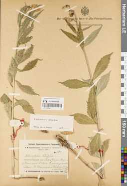
LE 01182540
Adenophora sublata Kom. det. Fedorov, Andrey Aleksandrovich at 1954
Additional identifications: Adenophora liliifolia (L.) A. DC. Collectors: Krascheninnikov, Ippolit (Hippolit) Mikhailovich Field collecting number: 500. Collection date: 17.07.1909. Administrative regions: RU - Zabaykal'skiy Kray. Expedition: И.М. Крашенинников. Экспедиция в Забайкальскую область 1909 г. (1909)Groups of specimens: Образцы сектора Сибири и Дальнего Востока России; Гербарий Переселенческого УправленияOriginal label text:Гербарий Переселенческого управления
Coordinates (geographic position): 52° 5′ 35.47″ N, 120° 0′ 43.51″ EComment: И.М. Крашенинников. Экспедиция в Забайкальскую область 1909 г.
№ 500
Adenophora liliifolia
Нерчинско-Заводский округ. Бас. Аргуни. Система р. Урюмкана. Р. Oроча. Долина р. между падями Н. Каменнуха и Токовка. Влажный березняк по ложку.
I. M. Krascheninnikow: Iter dahuricum ad f. Arguny. 1909. 17/VII.
I.M. Krasheninnikov. Expedition to the Transbaikal Region 1909.
№ 500
Nerchinsko-Zavodsky District. Basin of Argun. System of the Uryumkan River. River Orocha. River valley between the N. Kamennukha and Tokovka. Wet birch forest.
17.07.1909
Coll. I. M. Krascheninnikov
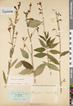
LE 01182539
Adenophora sublata Kom. det. Fedorov, Andrey Aleksandrovich at 1954
Collection date: 1806. Groups of specimens: Образцы сектора Сибири и Дальнего Востока РоссииOriginal label text:Ex Daguria
Record creation: 2022-06-16, Daria Yudova, PhotoScan D2Citation: Specimen LE 01182539 // Virtual herbarium of Komarov Botanical Institute RAS — http://re.herbariumle.ru/01182539Adam a. 1806