View
Add
Copy
Edit
Delete
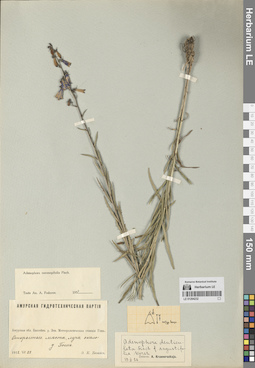
LE 01294232
Adenophora coronopifolia Fisch. det. Fedorov, Andrey Aleksandrovich at 1954
Collectors: Bezais, E. C. Collection date: 29.07.1912. Groups of specimens: Образцы сектора Сибири и Дальнего Востока РоссииOriginal label text:Амурская область. Бассейн реки Зеи. Метеорологическая станция Гошь. Открытые места, луга около деревни Гошь.
Coordinates (geographic position): 51° 21′ 34.43″ N, 129° 20′ 12.41″ EComment: 29.VII.1912
Э. К. Безайс
Amur Region. Zeya River Basin. Gosh Meteorological Station. Open spaces, meadows near the village of Gosh.
Record creation: 2024-08-10, Daria Yudova, PhotoScan D2.Citation: Specimen LE 01294232 // Virtual herbarium of Komarov Botanical Institute RAS — http://re.herbariumle.ru/0129423229.07.1912
Coll. E. C. Bezais
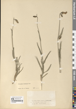
LE 01294326
Adenophora himalayana Feer det. Fedorov, Andrey Aleksandrovich at 1954
Collectors: Saposhnikow, Vasili Vasilievich Collection date: 16.06.1902. Administrative regions: KG - Kyrgyzstan. Groups of specimens: Образцы сектора Средней АзииOriginal label text:Тянь-Шань. Верхняя долина реки Тургень-Аксу близ устья реки Кок-кия, граница леса.
Coordinates (geographic position): 42° 25′ 19.5″ N, 78° 56′ 55″ EComment: 16 июня 1902
В. Сапожников
Tien Shan. Upper valley of the Turgen-Aksu River near the mouth of the Kok-kiya River, forest boundary.
Record creation: 2024-08-10, Daria Yudova, PhotoScan D2.Citation: Specimen LE 01294326 // Virtual herbarium of Komarov Botanical Institute RAS — http://re.herbariumle.ru/0129432616.06.1902
Coll. V. Saposhnikow
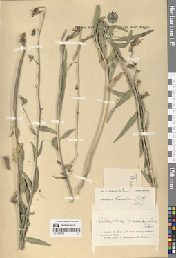
LE 01294325
Adenophora stenanthina (Ledeb.) Kitag. det. Fedorov, Andrey Aleksandrovich at 1954
Collectors: Saposhnikow, Vasili Vasilievich; Schischkin, Boris Konstantinovich Collection date: 10.07.1912. Administrative regions: KZ - Almaty Oblysy. Groups of specimens: Образцы сектора Средней АзииOriginal label text:Семиреченская область. Джаркентский уезд. Река Текес между рекой Сумбе и селом Охотничьим [= Нарынкол]. Пойма.
Coordinates (geographic position): 42° 50′ 14.4″ N, 80° 23′ 37″ EComment: 10 июля 1912 г.
В. Сапожников и Б. Шишкин
Semirechensk region. Jarkent district. Tekes river between Sumbe river and Okhotnichy village. Floodplain.
Record creation: 2024-08-10, Daria Yudova, PhotoScan D2.Citation: Specimen LE 01294325 // Virtual herbarium of Komarov Botanical Institute RAS — http://re.herbariumle.ru/0129432510.07.1912
Coll. V. Saposhnikow, B. Schischkin
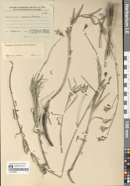
LE 01294324
Adenophora stenanthina (Ledeb.) Kitag. det. Fedorov, Andrey Aleksandrovich at 1954
Collectors: Medvedeva, Liudmila Ivanovna; Markova, Lydia Pavlovna; Knorring, Olga Evertovna; Denisova, Galina Aleksandrovna; T. D. Semenova Field collecting number: 760. Collection date: 14.08.1950. Administrative regions: KZ - Kazakhstan. Groups of specimens: Образцы сектора Средней АзииOriginal label text:№ 760
Coordinates (geographic position): 42° 30′ 6.5″ N, 80° 7′ 33.3″ EComment: Терскей Алатау. Пойма реки Боянкол.
14 августа 1950 г.
Л. И. Медведева, Л. П. Маркова, О. Э. Неуструева-Кнорринг, Г. Денисова, Т. Д. Семенова
№ 760
Record creation: 2024-08-10, Daria Yudova, PhotoScan D2.Citation: Specimen LE 01294324 // Virtual herbarium of Komarov Botanical Institute RAS — http://re.herbariumle.ru/01294324Terskey Alatau. Floodplain of the Boyankol River.
14.08.1950
Coll. L. I. Medvedeva, L. P. Markova, O. E. Neustrueva-Knorring, G. Denisova, T. D. Semenova
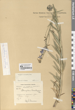
LE 01294323
Adenophora coronopifolia Fisch. det. Fedorov, Andrey Aleksandrovich at 1954
Collectors: Michelson, Alexander Ivanovich Field collecting number: 2083. Collection date: 08.07.1910. Administrative regions: KZ - Kazakhstan. Groups of specimens: Образцы сектора Средней АзииOriginal label text:Семиреченская область, Джаркентский уезд: урочище Кара-Саз.
Coordinates (geographic position): 43° 2′ 45.26″ N, 79° 53′ 34.85″ EComment: 8.VII.1910
А. Михельсон
Semirechensk region, Jarkent district: Kara-Saz.
Record creation: 2024-08-10, Daria Yudova, PhotoScan D2.Citation: Specimen LE 01294323 // Virtual herbarium of Komarov Botanical Institute RAS — http://re.herbariumle.ru/012943238.07.1910
Coll. A. Michelson
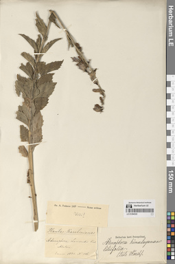
LE 01294322
Adenophora himalayana Feer
Additional identifications: Adenophora lamarckii Fisch. Groups of specimens: Образцы сектора Средней АзииOriginal label text:Alatau
Record creation: 2024-08-10, Daria Yudova, PhotoScan D2.Citation: Specimen LE 01294322 // Virtual herbarium of Komarov Botanical Institute RAS — http://re.herbariumle.ru/01294322Enum. 1841. № 536.
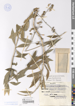
LE 01244246
Adenophora liliifolia (L.) A. DC. det. Schulkina, Tatiana Vladimirovna
Collectors: G. F. Pryadko Collection date: 23.07.1983. Administrative regions: KZ - Kazakhstan. Groups of specimens: Образцы сектора Средней АзииOriginal label text:Казахский мелкосопочник,
Coordinates (geographic position): 51° 12′ 59.41″ N, 73° 17′ 10.71″ EComment: Горы Ерейментау.
Сборы Г. Ф. Прядко
Окрестности горы Акдым. Лес.
23.07.1983
Kazakh low hills, Ereymentau Mountains.
Vicinity of the Akdym Mountain. Forest.
23.07.1983
Coll. G. F. Pryadko
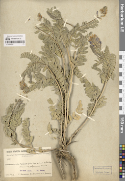
LE 01293303
Astragalus adsurgens Pall.
Groups of specimens: Образцы сектора Сибири и Дальнего Востока России; Соглашение Минобрнауки №075-15-2021-1056Record creation: 2024-08-08, PhotoScan D2.Citation: Specimen LE 01293303 // Virtual herbarium of Komarov Botanical Institute RAS — http://re.herbariumle.ru/01293303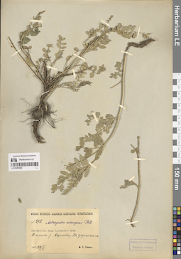
LE 01293302
Astragalus adsurgens Pall.
Groups of specimens: Образцы сектора Сибири и Дальнего Востока России; Соглашение Минобрнауки №075-15-2021-1056Record creation: 2024-08-08, PhotoScan D2.Citation: Specimen LE 01293302 // Virtual herbarium of Komarov Botanical Institute RAS — http://re.herbariumle.ru/01293302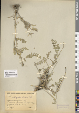
LE 01293301
Astragalus adsurgens Pall.
Groups of specimens: Образцы сектора Сибири и Дальнего Востока России; Соглашение Минобрнауки №075-15-2021-1056Record creation: 2024-08-08, PhotoScan D2.Citation: Specimen LE 01293301 // Virtual herbarium of Komarov Botanical Institute RAS — http://re.herbariumle.ru/01293301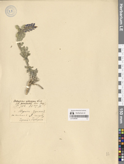
LE 01293300
Astragalus adsurgens Pall.
Groups of specimens: Образцы сектора Сибири и Дальнего Востока России; Соглашение Минобрнауки №075-15-2021-1056Record creation: 2024-08-08, PhotoScan D2.Citation: Specimen LE 01293300 // Virtual herbarium of Komarov Botanical Institute RAS — http://re.herbariumle.ru/01293300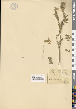
LE 01293299
Astragalus adsurgens Pall.
Groups of specimens: Образцы сектора Сибири и Дальнего Востока России; Соглашение Минобрнауки №075-15-2021-1056Record creation: 2024-08-08, PhotoScan D2.Citation: Specimen LE 01293299 // Virtual herbarium of Komarov Botanical Institute RAS — http://re.herbariumle.ru/01293299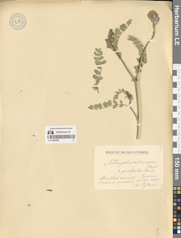
LE 01293298
Astragalus adsurgens Pall.
Groups of specimens: Образцы сектора Сибири и Дальнего Востока России; Соглашение Минобрнауки №075-15-2021-1056Record creation: 2024-08-08, PhotoScan D2.Citation: Specimen LE 01293298 // Virtual herbarium of Komarov Botanical Institute RAS — http://re.herbariumle.ru/01293298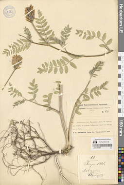
LE 01293297
Astragalus adsurgens Pall.
Groups of specimens: Образцы сектора Сибири и Дальнего Востока России; Соглашение Минобрнауки №075-15-2021-1056Record creation: 2024-08-08, PhotoScan D2.Citation: Specimen LE 01293297 // Virtual herbarium of Komarov Botanical Institute RAS — http://re.herbariumle.ru/01293297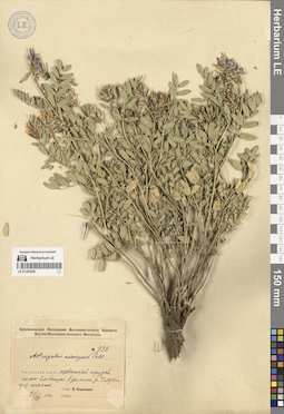
LE 01293296
Astragalus adsurgens Pall.
Groups of specimens: Образцы сектора Сибири и Дальнего Востока России; Соглашение Минобрнауки №075-15-2021-1056Record creation: 2024-08-08, PhotoScan D2.Citation: Specimen LE 01293296 // Virtual herbarium of Komarov Botanical Institute RAS — http://re.herbariumle.ru/01293296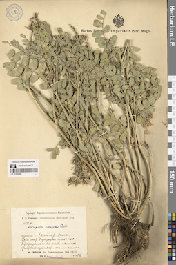
LE 01293295
Astragalus adsurgens Pall.
Groups of specimens: Образцы сектора Сибири и Дальнего Востока России; Соглашение Минобрнауки №075-15-2021-1056Record creation: 2024-08-08, PhotoScan D2.Citation: Specimen LE 01293295 // Virtual herbarium of Komarov Botanical Institute RAS — http://re.herbariumle.ru/01293295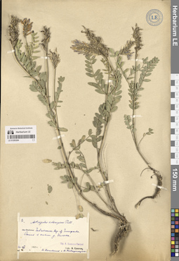
LE 01293294
Astragalus adsurgens Pall.
Groups of specimens: Образцы сектора Сибири и Дальнего Востока России; Соглашение Минобрнауки №075-15-2021-1056Record creation: 2024-08-08, PhotoScan D2.Citation: Specimen LE 01293294 // Virtual herbarium of Komarov Botanical Institute RAS — http://re.herbariumle.ru/01293294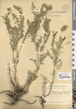
LE 01293293
Astragalus adsurgens Pall.
Groups of specimens: Образцы сектора Сибири и Дальнего Востока России; Соглашение Минобрнауки №075-15-2021-1056Record creation: 2024-08-08, PhotoScan D2.Citation: Specimen LE 01293293 // Virtual herbarium of Komarov Botanical Institute RAS — http://re.herbariumle.ru/01293293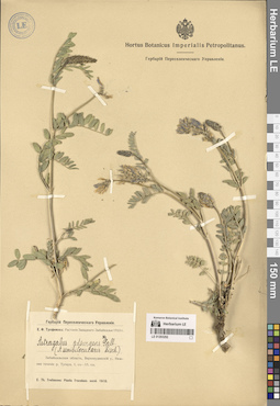
LE 01293292
Astragalus adsurgens Pall.
Groups of specimens: Образцы сектора Сибири и Дальнего Востока России; Соглашение Минобрнауки №075-15-2021-1056Record creation: 2024-08-08, PhotoScan D2.Citation: Specimen LE 01293292 // Virtual herbarium of Komarov Botanical Institute RAS — http://re.herbariumle.ru/01293292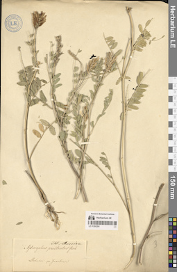
LE 01293291
Astragalus adsurgens Pall.
Groups of specimens: Образцы сектора Сибири и Дальнего Востока России; Соглашение Минобрнауки №075-15-2021-1056Record creation: 2024-08-08, PhotoScan D2.Citation: Specimen LE 01293291 // Virtual herbarium of Komarov Botanical Institute RAS — http://re.herbariumle.ru/01293291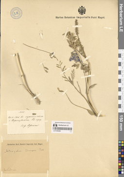
LE 01293290
Astragalus adsurgens Pall.
Groups of specimens: Образцы сектора Сибири и Дальнего Востока России; Соглашение Минобрнауки №075-15-2021-1056Record creation: 2024-08-08, PhotoScan D2.Citation: Specimen LE 01293290 // Virtual herbarium of Komarov Botanical Institute RAS — http://re.herbariumle.ru/01293290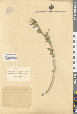
LE 01293289
Astragalus adsurgens Pall. det. Komarov, Vladimir Leontjevich
Collectors: Jurinsky (Yurinsky), Tikhon Osipovich Field collecting number: 111. Collection date: 29.06.1906. Administrative regions: RU - Respublika Buryatiya. Groups of specimens: Образцы сектора Сибири и Дальнего Востока России; Соглашение Минобрнауки №075-15-2021-1056Original label text:В окрестностях города Верхне-Удинска, на сухом лугу
Record creation: 2024-08-08, PhotoScan D2.Citation: Specimen LE 01293289 // Virtual herbarium of Komarov Botanical Institute RAS — http://re.herbariumle.ru/01293289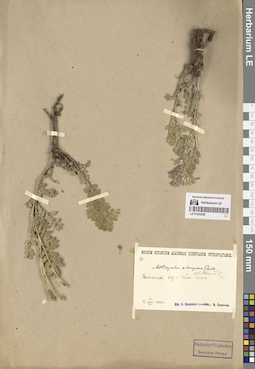
LE 01293288
Astragalus adsurgens Pall. det. Ikonnikov-Galitzky, Nikolai Petrovic
Groups of specimens: Образцы сектора Сибири и Дальнего Востока России; Соглашение Минобрнауки №075-15-2021-1056Record creation: 2024-08-08, PhotoScan D2.Citation: Specimen LE 01293288 // Virtual herbarium of Komarov Botanical Institute RAS — http://re.herbariumle.ru/01293288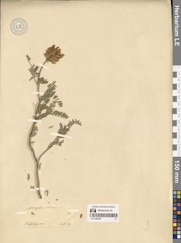
LE 01293287
Astragalus adsurgens Pall.
Collectors: Sensinoff, Mikhail Andreevich Field collecting number: 91. Collection date: 1847. Administrative regions: RU - Zabaykal'skiy Kray - Nerchinskiy Rayon. Groups of specimens: Образцы сектора Сибири и Дальнего Востока России; Соглашение Минобрнауки №075-15-2021-1056Original label text:Nertschinsk
Record creation: 2024-08-08, PhotoScan D2.Citation: Specimen LE 01293287 // Virtual herbarium of Komarov Botanical Institute RAS — http://re.herbariumle.ru/01293287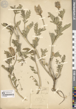
LE 01293286
Astragalus adsurgens Pall.
Collectors: Sensinoff, Mikhail Andreevich Field collecting number: 121. Collection date: 1849. Administrative regions: RU - Zabaykal'skiy Kray - Nerchinskiy Rayon. Groups of specimens: Образцы сектора Сибири и Дальнего Востока России; Соглашение Минобрнауки №075-15-2021-1056Original label text:Nertschinsk
Record creation: 2024-08-08, PhotoScan D2.Citation: Specimen LE 01293286 // Virtual herbarium of Komarov Botanical Institute RAS — http://re.herbariumle.ru/01293286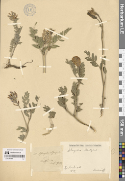
LE 01293285
Astragalus adsurgens Pall.
Collectors: Sensinoff, Mikhail Andreevich Field collecting number: 218. Collection date: 1849. Administrative regions: RU - Zabaykal'skiy Kray - Nerchinskiy Rayon. Groups of specimens: Образцы сектора Сибири и Дальнего Востока России; Соглашение Минобрнауки №075-15-2021-1056Original label text:Nertschinsk
Record creation: 2024-08-08, PhotoScan D2.Citation: Specimen LE 01293285 // Virtual herbarium of Komarov Botanical Institute RAS — http://re.herbariumle.ru/01293285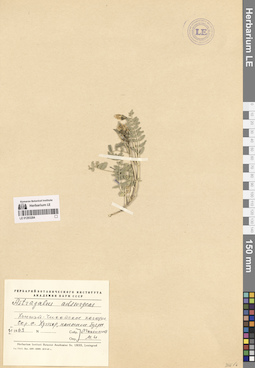
LE 01293284
Astragalus adsurgens Pall. det. Maximova (Adasheva), Maria Innokentievna
Groups of specimens: Образцы сектора Сибири и Дальнего Востока России; Соглашение Минобрнауки №075-15-2021-1056Record creation: 2024-08-08, PhotoScan D2.Citation: Specimen LE 01293284 // Virtual herbarium of Komarov Botanical Institute RAS — http://re.herbariumle.ru/01293284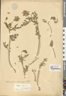
LE 01293283
Astragalus adsurgens Pall.
Groups of specimens: Образцы сектора Сибири и Дальнего Востока России; Соглашение Минобрнауки №075-15-2021-1056Record creation: 2024-08-08, PhotoScan D2.Citation: Specimen LE 01293283 // Virtual herbarium of Komarov Botanical Institute RAS — http://re.herbariumle.ru/01293283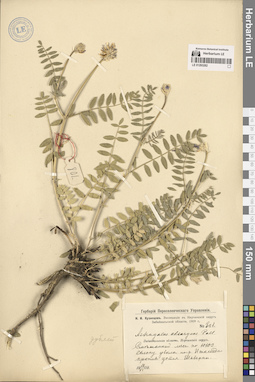
LE 01293282
Astragalus adsurgens Pall.
Groups of specimens: Образцы сектора Сибири и Дальнего Востока России; Соглашение Минобрнауки №075-15-2021-1056Record creation: 2024-08-08, PhotoScan D2.Citation: Specimen LE 01293282 // Virtual herbarium of Komarov Botanical Institute RAS — http://re.herbariumle.ru/01293282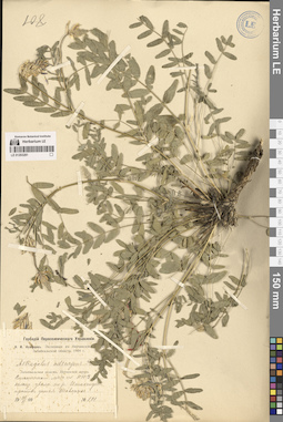
LE 01293281
Astragalus adsurgens Pall.
Groups of specimens: Образцы сектора Сибири и Дальнего Востока России; Соглашение Минобрнауки №075-15-2021-1056Record creation: 2024-08-08, PhotoScan D2.Citation: Specimen LE 01293281 // Virtual herbarium of Komarov Botanical Institute RAS — http://re.herbariumle.ru/01293281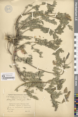
LE 01293280
Astragalus adsurgens Pall.
Groups of specimens: Образцы сектора Сибири и Дальнего Востока России; Соглашение Минобрнауки №075-15-2021-1056Record creation: 2024-08-08, PhotoScan D2.Citation: Specimen LE 01293280 // Virtual herbarium of Komarov Botanical Institute RAS — http://re.herbariumle.ru/01293280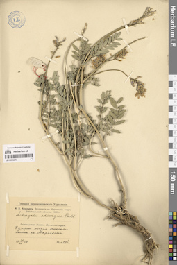
LE 01293279
Astragalus adsurgens Pall.
Groups of specimens: Образцы сектора Сибири и Дальнего Востока России; Соглашение Минобрнауки №075-15-2021-1056Record creation: 2024-08-08, PhotoScan D2.Citation: Specimen LE 01293279 // Virtual herbarium of Komarov Botanical Institute RAS — http://re.herbariumle.ru/01293279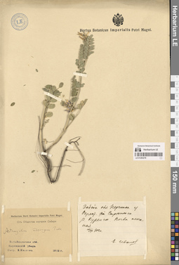
LE 01293278
Astragalus adsurgens Pall. det. Komarov, Vladimir Leontjevich
Groups of specimens: Образцы сектора Сибири и Дальнего Востока России; Соглашение Минобрнауки №075-15-2021-1056Record creation: 2024-08-08, PhotoScan D2.Citation: Specimen LE 01293278 // Virtual herbarium of Komarov Botanical Institute RAS — http://re.herbariumle.ru/01293278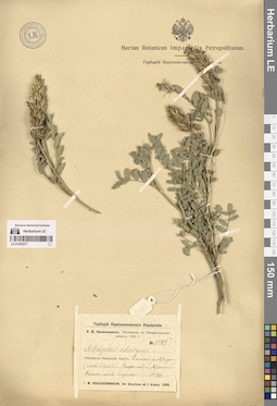
LE 01293277
Astragalus adsurgens Pall.
Groups of specimens: Образцы сектора Сибири и Дальнего Востока России; Соглашение Минобрнауки №075-15-2021-1056Record creation: 2024-08-08, PhotoScan D2.Citation: Specimen LE 01293277 // Virtual herbarium of Komarov Botanical Institute RAS — http://re.herbariumle.ru/01293277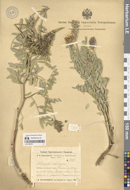
LE 01293276
Astragalus adsurgens Pall.
Groups of specimens: Образцы сектора Сибири и Дальнего Востока России; Соглашение Минобрнауки №075-15-2021-1056Record creation: 2024-08-08, PhotoScan D2.Citation: Specimen LE 01293276 // Virtual herbarium of Komarov Botanical Institute RAS — http://re.herbariumle.ru/01293276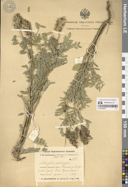
LE 01293275
Astragalus adsurgens Pall.
Groups of specimens: Образцы сектора Сибири и Дальнего Востока России; Соглашение Минобрнауки №075-15-2021-1056Record creation: 2024-08-08, PhotoScan D2.Citation: Specimen LE 01293275 // Virtual herbarium of Komarov Botanical Institute RAS — http://re.herbariumle.ru/01293275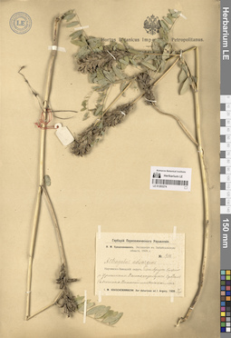
LE 01293274
Astragalus adsurgens Pall.
Groups of specimens: Образцы сектора Сибири и Дальнего Востока России; Соглашение Минобрнауки №075-15-2021-1056Record creation: 2024-08-08, PhotoScan D2.Citation: Specimen LE 01293274 // Virtual herbarium of Komarov Botanical Institute RAS — http://re.herbariumle.ru/01293274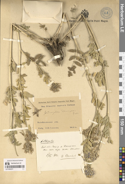
LE 01293273
Astragalus adsurgens Pall. det. Komarov, Vladimir Leontjevich
Groups of specimens: Образцы сектора Сибири и Дальнего Востока России; Соглашение Минобрнауки №075-15-2021-1056Record creation: 2024-08-08, PhotoScan D2.Citation: Specimen LE 01293273 // Virtual herbarium of Komarov Botanical Institute RAS — http://re.herbariumle.ru/01293273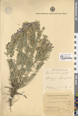
LE 01293272
Astragalus adsurgens Pall.
Groups of specimens: Образцы сектора Сибири и Дальнего Востока России; Соглашение Минобрнауки №075-15-2021-1056Record creation: 2024-08-08, PhotoScan D2.Citation: Specimen LE 01293272 // Virtual herbarium of Komarov Botanical Institute RAS — http://re.herbariumle.ru/01293272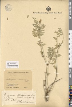
LE 01293271
Astragalus adsurgens Pall.
Groups of specimens: Образцы сектора Сибири и Дальнего Востока России; Соглашение Минобрнауки №075-15-2021-1056Record creation: 2024-08-08, PhotoScan D2.Citation: Specimen LE 01293271 // Virtual herbarium of Komarov Botanical Institute RAS — http://re.herbariumle.ru/01293271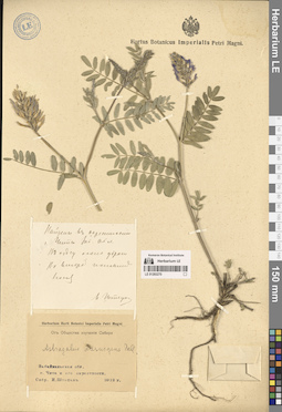
LE 01293270
Astragalus adsurgens Pall.
Groups of specimens: Образцы сектора Сибири и Дальнего Востока России; Соглашение Минобрнауки №075-15-2021-1056Record creation: 2024-08-08, PhotoScan D2.Citation: Specimen LE 01293270 // Virtual herbarium of Komarov Botanical Institute RAS — http://re.herbariumle.ru/01293270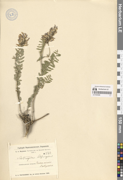
LE 01293269
Astragalus adsurgens Pall.
Groups of specimens: Образцы сектора Сибири и Дальнего Востока России; Соглашение Минобрнауки №075-15-2021-1056Record creation: 2024-08-08, PhotoScan D2.Citation: Specimen LE 01293269 // Virtual herbarium of Komarov Botanical Institute RAS — http://re.herbariumle.ru/01293269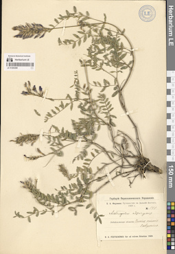
LE 01293268
Astragalus adsurgens Pall.
Groups of specimens: Образцы сектора Сибири и Дальнего Востока России; Соглашение Минобрнауки №075-15-2021-1056Record creation: 2024-08-08, PhotoScan D2.Citation: Specimen LE 01293268 // Virtual herbarium of Komarov Botanical Institute RAS — http://re.herbariumle.ru/01293268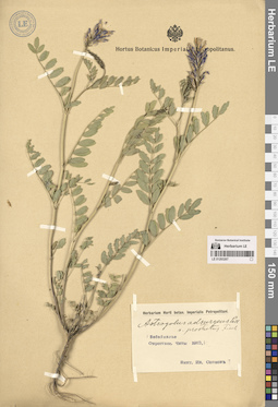
LE 01293267
Astragalus adsurgens Pall.
Groups of specimens: Образцы сектора Сибири и Дальнего Востока России; Соглашение Минобрнауки №075-15-2021-1056Record creation: 2024-08-08, PhotoScan D2.Citation: Specimen LE 01293267 // Virtual herbarium of Komarov Botanical Institute RAS — http://re.herbariumle.ru/01293267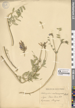
LE 01293266
Astragalus adsurgens Pall.
Groups of specimens: Образцы сектора Сибири и Дальнего Востока России; Соглашение Минобрнауки №075-15-2021-1056Record creation: 2024-08-08, PhotoScan D2.Citation: Specimen LE 01293266 // Virtual herbarium of Komarov Botanical Institute RAS — http://re.herbariumle.ru/01293266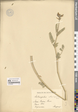
LE 01293265
Astragalus adsurgens Pall.
Groups of specimens: Образцы сектора Сибири и Дальнего Востока России; Соглашение Минобрнауки №075-15-2021-1056Record creation: 2024-08-08, PhotoScan D2.Citation: Specimen LE 01293265 // Virtual herbarium of Komarov Botanical Institute RAS — http://re.herbariumle.ru/01293265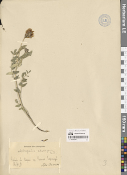
LE 01293264
Astragalus adsurgens Pall.
Groups of specimens: Образцы сектора Сибири и Дальнего Востока России; Соглашение Минобрнауки №075-15-2021-1056Record creation: 2024-08-08, PhotoScan D2.Citation: Specimen LE 01293264 // Virtual herbarium of Komarov Botanical Institute RAS — http://re.herbariumle.ru/01293264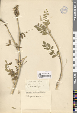
LE 01293263
Astragalus adsurgens Pall.
Groups of specimens: Образцы сектора Сибири и Дальнего Востока России; Соглашение Минобрнауки №075-15-2021-1056Record creation: 2024-08-08, PhotoScan D2.Citation: Specimen LE 01293263 // Virtual herbarium of Komarov Botanical Institute RAS — http://re.herbariumle.ru/01293263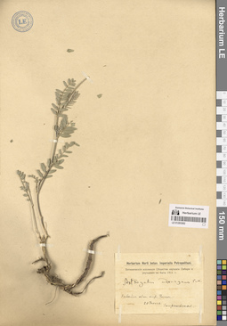
LE 01293262
Astragalus adsurgens Pall. det. Komarov, Vladimir Leontjevich
Groups of specimens: Образцы сектора Сибири и Дальнего Востока России; Соглашение Минобрнауки №075-15-2021-1056Record creation: 2024-08-08, PhotoScan D2.Citation: Specimen LE 01293262 // Virtual herbarium of Komarov Botanical Institute RAS — http://re.herbariumle.ru/01293262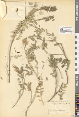
LE 01293261
Astragalus adsurgens Pall. det. Turczaninow, Nicolai Stepanowisch
Collectors: Turczaninow, Nicolai Stepanowisch Collection date: 1828. Administrative regions: RU - Irkutskaya Oblast'. Groups of specimens: Образцы сектора Сибири и Дальнего Востока России; Соглашение Минобрнауки №075-15-2021-1056Original label text:In pratis prope Ircutiam
Record creation: 2024-08-08, PhotoScan D2.Citation: Specimen LE 01293261 // Virtual herbarium of Komarov Botanical Institute RAS — http://re.herbariumle.ru/01293261