View
Add
Copy
Edit
Delete
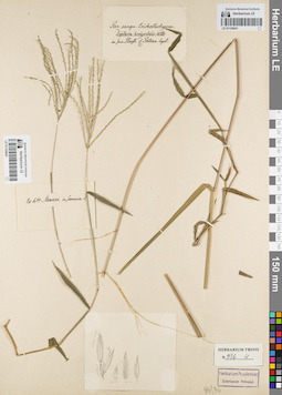
LE 01155642
Groups of specimens: Гербарий Карла Бернхарда Триниуса; Соглашение Минобрнауки №075-15-2021-1056Record creation: 2021-12-15, Denis Melnikov, PhotoScan D2Citation: Specimen LE 01155642 // Virtual herbarium of Komarov Botanical Institute RAS — http://re.herbariumle.ru/01155642
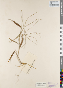
LE 01155640
Groups of specimens: Гербарий Карла Бернхарда Триниуса; Соглашение Минобрнауки №075-15-2021-1056Record creation: 2021-12-15, Denis Melnikov, PhotoScan D2Citation: Specimen LE 01155640 // Virtual herbarium of Komarov Botanical Institute RAS — http://re.herbariumle.ru/01155640
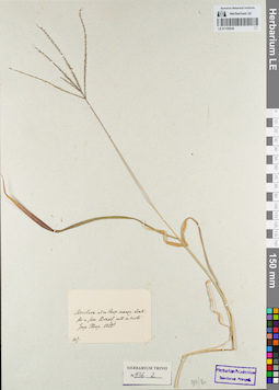
LE 01155639
Groups of specimens: Гербарий Карла Бернхарда Триниуса; Соглашение Минобрнауки №075-15-2021-1056Record creation: 2021-12-15, Denis Melnikov, PhotoScan D2Citation: Specimen LE 01155639 // Virtual herbarium of Komarov Botanical Institute RAS — http://re.herbariumle.ru/01155639
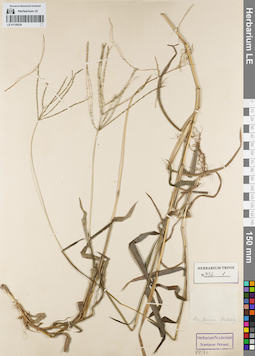
LE 01155638
Groups of specimens: Гербарий Карла Бернхарда Триниуса; Соглашение Минобрнауки №075-15-2021-1056Record creation: 2021-12-15, Denis Melnikov, PhotoScan D2Citation: Specimen LE 01155638 // Virtual herbarium of Komarov Botanical Institute RAS — http://re.herbariumle.ru/01155638
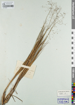
LE 01155637
Groups of specimens: Гербарий Карла Бернхарда Триниуса; Соглашение Минобрнауки №075-15-2021-1056Record creation: 2021-12-15, Denis Melnikov, PhotoScan D2Citation: Specimen LE 01155637 // Virtual herbarium of Komarov Botanical Institute RAS — http://re.herbariumle.ru/01155637
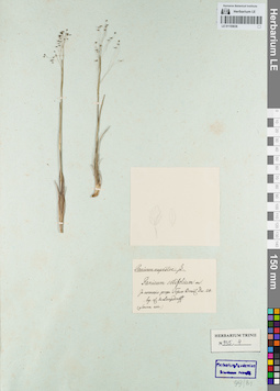
LE 01155636
Groups of specimens: Гербарий Карла Бернхарда Триниуса; Соглашение Минобрнауки №075-15-2021-1056Record creation: 2021-12-15, Denis Melnikov, PhotoScan D2Citation: Specimen LE 01155636 // Virtual herbarium of Komarov Botanical Institute RAS — http://re.herbariumle.ru/01155636
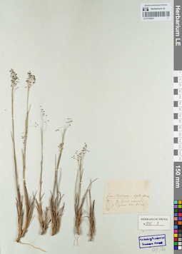
LE 01155635
Groups of specimens: Гербарий Карла Бернхарда Триниуса; Соглашение Минобрнауки №075-15-2021-1056Record creation: 2021-12-15, Denis Melnikov, PhotoScan D2Citation: Specimen LE 01155635 // Virtual herbarium of Komarov Botanical Institute RAS — http://re.herbariumle.ru/01155635
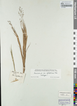
LE 01155634
Groups of specimens: Гербарий Карла Бернхарда Триниуса; Соглашение Минобрнауки №075-15-2021-1056Record creation: 2021-12-15, Denis Melnikov, PhotoScan D2Citation: Specimen LE 01155634 // Virtual herbarium of Komarov Botanical Institute RAS — http://re.herbariumle.ru/01155634
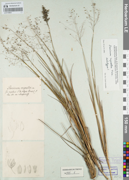
LE 01155633
Groups of specimens: Гербарий Карла Бернхарда Триниуса; Соглашение Минобрнауки №075-15-2021-1056Record creation: 2021-12-15, Denis Melnikov, PhotoScan D2Citation: Specimen LE 01155633 // Virtual herbarium of Komarov Botanical Institute RAS — http://re.herbariumle.ru/01155633
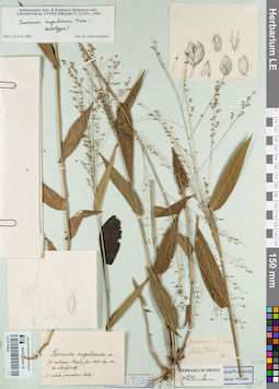
LE 01155632
Groups of specimens: Гербарий Карла Бернхарда Триниуса; Соглашение Минобрнауки №075-15-2021-1056Record creation: 2021-12-15, Denis Melnikov, PhotoScan D2Citation: Specimen LE 01155632 // Virtual herbarium of Komarov Botanical Institute RAS — http://re.herbariumle.ru/01155632
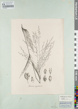
LE 01155631
Groups of specimens: Гербарий Карла Бернхарда Триниуса; Соглашение Минобрнауки №075-15-2021-1056Record creation: 2021-12-15, Denis Melnikov, PhotoScan D2Citation: Specimen LE 01155631 // Virtual herbarium of Komarov Botanical Institute RAS — http://re.herbariumle.ru/01155631
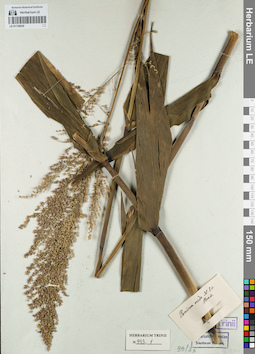
LE 01155630
Groups of specimens: Гербарий Карла Бернхарда Триниуса; Соглашение Минобрнауки №075-15-2021-1056Record creation: 2021-12-15, Denis Melnikov, PhotoScan D2Citation: Specimen LE 01155630 // Virtual herbarium of Komarov Botanical Institute RAS — http://re.herbariumle.ru/01155630
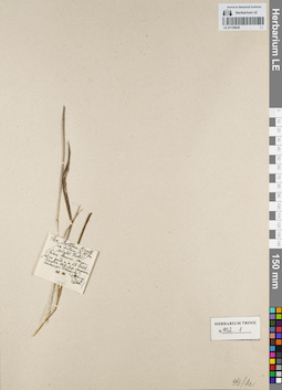
LE 01155629
Groups of specimens: Гербарий Карла Бернхарда Триниуса; Соглашение Минобрнауки №075-15-2021-1056Record creation: 2021-12-15, Denis Melnikov, PhotoScan D2Citation: Specimen LE 01155629 // Virtual herbarium of Komarov Botanical Institute RAS — http://re.herbariumle.ru/01155629
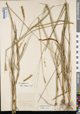
LE 01155628
Groups of specimens: Гербарий Карла Бернхарда Триниуса; Соглашение Минобрнауки №075-15-2021-1056Record creation: 2021-12-15, Denis Melnikov, PhotoScan D2Citation: Specimen LE 01155628 // Virtual herbarium of Komarov Botanical Institute RAS — http://re.herbariumle.ru/01155628
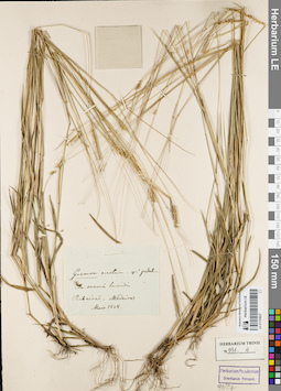
LE 01155627
Groups of specimens: Гербарий Карла Бернхарда Триниуса; Соглашение Минобрнауки №075-15-2021-1056Record creation: 2021-12-15, Denis Melnikov, PhotoScan D2Citation: Specimen LE 01155627 // Virtual herbarium of Komarov Botanical Institute RAS — http://re.herbariumle.ru/01155627
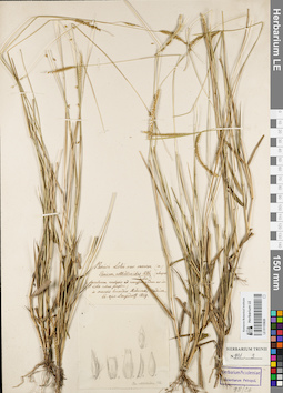
LE 01155626
Groups of specimens: Гербарий Карла Бернхарда Триниуса; Соглашение Минобрнауки №075-15-2021-1056Record creation: 2021-12-15, Denis Melnikov, PhotoScan D2Citation: Specimen LE 01155626 // Virtual herbarium of Komarov Botanical Institute RAS — http://re.herbariumle.ru/01155626
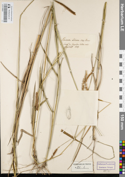
LE 01155625
Groups of specimens: Гербарий Карла Бернхарда Триниуса; Соглашение Минобрнауки №075-15-2021-1056Record creation: 2021-12-15, Denis Melnikov, PhotoScan D2Citation: Specimen LE 01155625 // Virtual herbarium of Komarov Botanical Institute RAS — http://re.herbariumle.ru/01155625
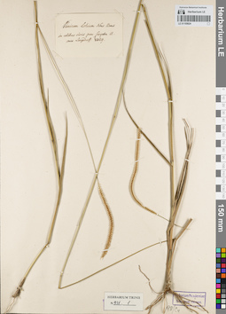
LE 01155624
Groups of specimens: Гербарий Карла Бернхарда Триниуса; Соглашение Минобрнауки №075-15-2021-1056Record creation: 2021-12-15, Denis Melnikov, PhotoScan D2Citation: Specimen LE 01155624 // Virtual herbarium of Komarov Botanical Institute RAS — http://re.herbariumle.ru/01155624
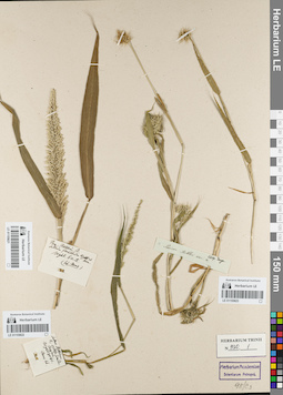
LE 01155623
Groups of specimens: Гербарий Карла Бернхарда Триниуса; Соглашение Минобрнауки №075-15-2021-1056Record creation: 2021-12-15, Denis Melnikov, PhotoScan D2Citation: Specimen LE 01155623 // Virtual herbarium of Komarov Botanical Institute RAS — http://re.herbariumle.ru/01155623
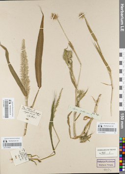
LE 01155622
Groups of specimens: Гербарий Карла Бернхарда Триниуса; Соглашение Минобрнауки №075-15-2021-1056Record creation: 2021-12-15, Denis Melnikov, PhotoScan D2Citation: Specimen LE 01155622 // Virtual herbarium of Komarov Botanical Institute RAS — http://re.herbariumle.ru/01155622
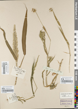
LE 01155621
Groups of specimens: Гербарий Карла Бернхарда Триниуса; Соглашение Минобрнауки №075-15-2021-1056Record creation: 2021-12-15, Denis Melnikov, PhotoScan D2Citation: Specimen LE 01155621 // Virtual herbarium of Komarov Botanical Institute RAS — http://re.herbariumle.ru/01155621
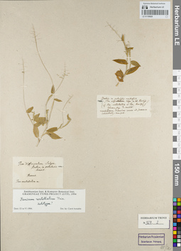
LE 01155620
Groups of specimens: Гербарий Карла Бернхарда Триниуса; Соглашение Минобрнауки №075-15-2021-1056Record creation: 2021-12-15, Denis Melnikov, PhotoScan D2Citation: Specimen LE 01155620 // Virtual herbarium of Komarov Botanical Institute RAS — http://re.herbariumle.ru/01155620
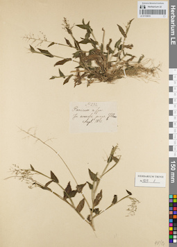
LE 01155619
Groups of specimens: Гербарий Карла Бернхарда Триниуса; Соглашение Минобрнауки №075-15-2021-1056Record creation: 2021-12-15, Denis Melnikov, PhotoScan D2Citation: Specimen LE 01155619 // Virtual herbarium of Komarov Botanical Institute RAS — http://re.herbariumle.ru/01155619
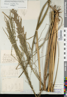
LE 01155618
Groups of specimens: Гербарий Карла Бернхарда Триниуса; Соглашение Минобрнауки №075-15-2021-1056Record creation: 2021-12-15, Denis Melnikov, PhotoScan D2Citation: Specimen LE 01155618 // Virtual herbarium of Komarov Botanical Institute RAS — http://re.herbariumle.ru/01155618
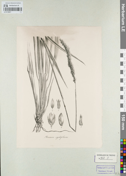
LE 01155617
Groups of specimens: Гербарий Карла Бернхарда Триниуса; Соглашение Минобрнауки №075-15-2021-1056Record creation: 2021-12-15, Denis Melnikov, PhotoScan D2Citation: Specimen LE 01155617 // Virtual herbarium of Komarov Botanical Institute RAS — http://re.herbariumle.ru/01155617
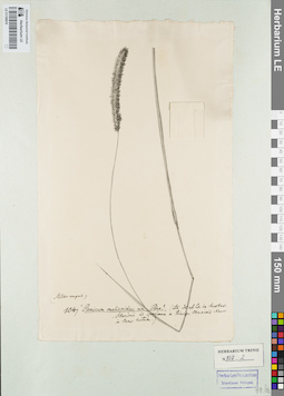
LE 01155616
Groups of specimens: Гербарий Карла Бернхарда Триниуса; Соглашение Минобрнауки №075-15-2021-1056Record creation: 2021-12-15, Denis Melnikov, PhotoScan D2Citation: Specimen LE 01155616 // Virtual herbarium of Komarov Botanical Institute RAS — http://re.herbariumle.ru/01155616
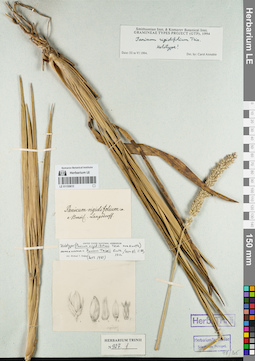
LE 01155615
Groups of specimens: Гербарий Карла Бернхарда Триниуса; Соглашение Минобрнауки №075-15-2021-1056Record creation: 2021-12-15, Denis Melnikov, PhotoScan D2Citation: Specimen LE 01155615 // Virtual herbarium of Komarov Botanical Institute RAS — http://re.herbariumle.ru/01155615
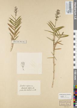
LE 01155614
Groups of specimens: Гербарий Карла Бернхарда Триниуса; Соглашение Минобрнауки №075-15-2021-1056Record creation: 2021-12-15, Denis Melnikov, PhotoScan D2Citation: Specimen LE 01155614 // Virtual herbarium of Komarov Botanical Institute RAS — http://re.herbariumle.ru/01155614
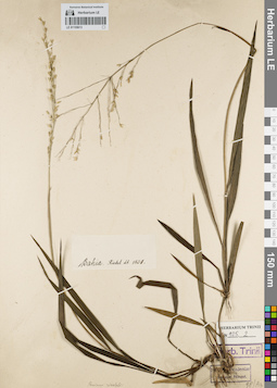
LE 01155613
Groups of specimens: Гербарий Карла Бернхарда Триниуса; Соглашение Минобрнауки №075-15-2021-1056Record creation: 2021-12-15, Denis Melnikov, PhotoScan D2Citation: Specimen LE 01155613 // Virtual herbarium of Komarov Botanical Institute RAS — http://re.herbariumle.ru/01155613
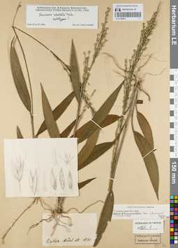
LE 01155612
Groups of specimens: Гербарий Карла Бернхарда Триниуса; Соглашение Минобрнауки №075-15-2021-1056Record creation: 2021-12-15, Denis Melnikov, PhotoScan D2Citation: Specimen LE 01155612 // Virtual herbarium of Komarov Botanical Institute RAS — http://re.herbariumle.ru/01155612
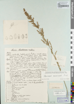
LE 01155611
Groups of specimens: Гербарий Карла Бернхарда Триниуса; Соглашение Минобрнауки №075-15-2021-1056Record creation: 2021-12-15, Denis Melnikov, PhotoScan D2Citation: Specimen LE 01155611 // Virtual herbarium of Komarov Botanical Institute RAS — http://re.herbariumle.ru/01155611
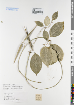
LE 01077808
Heterostemma brownii Hayata det. Cuong, Huu Nguyen at 12.01.2018
Additional identifications: Apocynaceae sp. det. Busch Collectors: Takhtajan, Armen Leonovich. Field collecting number: 8570. Collection date: 29.01.1975. Administrative regions: VN - Vietnam. Groups of specimens: L. V. Averyanov specimens; L. V. Averyanov herbarium; Соглашение Минобрнауки №075-15-2021-1056Original label text:Apocynaceae
N.Vietnam
29.01.1975
A.Takhtajan 8570
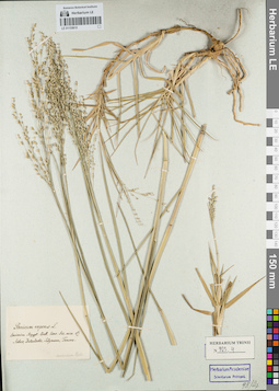
LE 01155610
Groups of specimens: Гербарий Карла Бернхарда Триниуса; Соглашение Минобрнауки №075-15-2021-1056Record creation: 2021-12-15, Denis Melnikov, PhotoScan D2Citation: Specimen LE 01155610 // Virtual herbarium of Komarov Botanical Institute RAS — http://re.herbariumle.ru/01155610
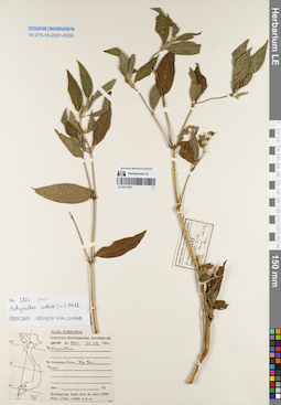
LE 01077807
Achyranthes indica (L.) Mill. det. Cuong, Huu Nguyen at 18.01.2018
Additional identifications: Achyranthes sp. at 25.08.1961 Collectors: Busch Field collecting number: N 3813. Collection date: 25.08.1961. Administrative regions: VN - Thanh Pho Ha Noi. Groups of specimens: L. V. Averyanov specimens; L. V. Averyanov herbarium; Соглашение Минобрнауки №075-15-2021-1056Original label text:Flora Vietnamica
Советско-Вьетнамская экспедиция
Achyranthes sp.
N.Vietnam, prov. Ha Noi, Bavi
№ 3813, 25.08.1961
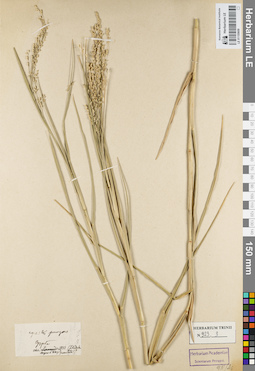
LE 01155609
Groups of specimens: Гербарий Карла Бернхарда Триниуса; Соглашение Минобрнауки №075-15-2021-1056Record creation: 2021-12-15, Denis Melnikov, PhotoScan D2Citation: Specimen LE 01155609 // Virtual herbarium of Komarov Botanical Institute RAS — http://re.herbariumle.ru/01155609
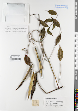
LE 01077806
Periploca calophylla Falc. det. Cuong, Huu Nguyen at 12.01.2018
Additional identifications: Apocynaceae sp. det. Averyanov, Leonid Vladimirovich Collectors: Takhtajan, Armen Leonovich. Field collecting number: 8452. Collection date: 19.01.1975. Administrative regions: VN - Tinh Lao Cai. Groups of specimens: L. V. Averyanov specimens; L. V. Averyanov herbarium; Соглашение Минобрнауки №075-15-2021-1056Original label text:Apocynaceae
N.Vietnam, Hamrong
19.01.1975
A.Takhtajan 8452
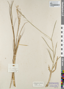
LE 01155608
Groups of specimens: Гербарий Карла Бернхарда Триниуса; Соглашение Минобрнауки №075-15-2021-1056Record creation: 2021-12-15, Denis Melnikov, PhotoScan D2Citation: Specimen LE 01155608 // Virtual herbarium of Komarov Botanical Institute RAS — http://re.herbariumle.ru/01155608
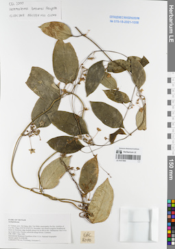
LE 01077805
Heterostemma brownii Hayata det. Cuong, Huu Nguyen at 12.01.2018
Additional identifications: Asclepiadaceae sp. det. Averyanov, Leonid Vladimirovich at 03.05.1999 Collectors: Phan Ke Loc; Averyanov, Leonid Vladimirovich; et al. Field collecting number: CBL2000. Collection date: 03.05.1999. Administrative regions: VN - Tinh Ha Giang. Groups of specimens: L. V. Averyanov specimens; L. V. Averyanov herbarium; Соглашение Минобрнауки №075-15-2021-1056Original label text:FLORA OF VIETNAM
Asclepiadaceae
N. Vietnam, prov. Ha Giang, distr. Yen Minh, municipality Du Gia, vicinities of Coc Pan village (N 23°56′ E 105°13′). Secondary wet closed evergreen broadleaved forest on limestone ridge foothills along river at 450 m elev. Herb vine 3-4 m lg on open rocks. Flowers yellowish-orange-brown. Common.
CBL 2000 03 May 1999
International Botanical Expedition of the U.S.A. National Geographic Society (grant No 6300-98)
Collectors: P.K.Loc, P.H.Hoang, Averyanov
Coordinates (geographic position): 23° 56′ N, 105° 13′ E ±1000 mRecord creation: 2021-12-15, Tatiana Maisak, PhotoScan D2. Processing status: work_status_1Citation: Specimen LE 01077805 // Virtual herbarium of Komarov Botanical Institute RAS — http://re.herbariumle.ru/01077805Asclepiadaceae
N. Vietnam, prov. Ha Giang, distr. Yen Minh, municipality Du Gia, vicinities of Coc Pan village (N 23°56′ E 105°13′). Secondary wet closed evergreen broadleaved forest on limestone ridge foothills along river at 450 m elev. Herb vine 3-4 m lg on open rocks. Flowers yellowish-orange-brown. Common.
CBL 2000 03 May 1999
International Botanical Expedition of the U.S.A. National Geographic Society (grant No 6300-98)
Collectors: P.K.Loc, P.H.Hoang, Averyanov
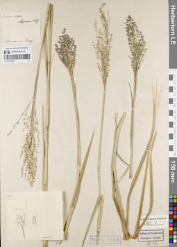
LE 01155607
Groups of specimens: Гербарий Карла Бернхарда Триниуса; Соглашение Минобрнауки №075-15-2021-1056Record creation: 2021-12-15, Denis Melnikov, PhotoScan D2Citation: Specimen LE 01155607 // Virtual herbarium of Komarov Botanical Institute RAS — http://re.herbariumle.ru/01155607
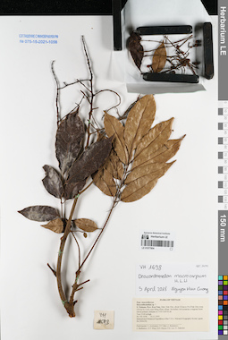
LE 01077804
Dracontomelon macrocarpum H.L.Li det. Cuong, Huu Nguyen at 05.04.2018
Additional identifications: Dracontomelon sp. ⟮prelim. ID⟯ det. Averyanov, Leonid Vladimirovich at 16.11.1995 Collectors: Averyanov, Leonid Vladimirovich; et al. Field collecting number: VH1698. Collection date: 16.11.1995. Administrative regions: VN - Kon Tum. Groups of specimens: L. V. Averyanov specimens; L. V. Averyanov herbarium; Соглашение Минобрнауки №075-15-2021-1056Original label text:FLORA OF VIETNAM
Anacardiaceae
Draconthomelum sp. ?
S. Vietnam, Prov. Kon Tum, Distr. Dak Gley, about 12 km to N of Dak Gley town (24 km by road), near Mang Khen village. Secondary wet mountain evergreen forest rich in primary elements at 1100-1200 m alt.
Tree 15-20 m high. VH 1698 16.11.1995
International Botanical Expedition of the U.S.A. National Geographic Society (grant No 5094-93)
Participants: L. Averyanov, N.T. Ban, A. Budantzev, L. Budantzev, N.T. Hiep, D.D. Huyen, P.K. Loc, G. Yakovlev
Record creation: 2021-12-15, Tatiana Maisak, PhotoScan D2. Processing status: work_status_1Citation: Specimen LE 01077804 // Virtual herbarium of Komarov Botanical Institute RAS — http://re.herbariumle.ru/01077804Anacardiaceae
Draconthomelum sp. ?
S. Vietnam, Prov. Kon Tum, Distr. Dak Gley, about 12 km to N of Dak Gley town (24 km by road), near Mang Khen village. Secondary wet mountain evergreen forest rich in primary elements at 1100-1200 m alt.
Tree 15-20 m high. VH 1698 16.11.1995
International Botanical Expedition of the U.S.A. National Geographic Society (grant No 5094-93)
Participants: L. Averyanov, N.T. Ban, A. Budantzev, L. Budantzev, N.T. Hiep, D.D. Huyen, P.K. Loc, G. Yakovlev
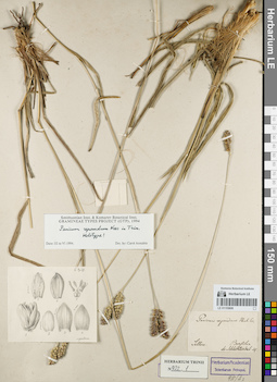
LE 01155606
Groups of specimens: Гербарий Карла Бернхарда Триниуса; Соглашение Минобрнауки №075-15-2021-1056Record creation: 2021-12-15, Denis Melnikov, PhotoScan D2Citation: Specimen LE 01155606 // Virtual herbarium of Komarov Botanical Institute RAS — http://re.herbariumle.ru/01155606
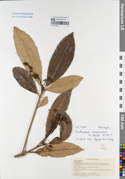
LE 01077803
Buchanania kontumemsis H.C.Nguyen ⟮prelim. ID⟯ det. Cuong, Huu Nguyen at 05.04.2018
Additional identifications: Buchanania sp. ⟮prelim. ID⟯ det. Averyanov, Leonid Vladimirovich at 05.12.1995 Collectors: Averyanov, Leonid Vladimirovich; et al. Field collecting number: VH2267. Collection date: 05.12.1995. Administrative regions: VN - Kon Tum. Groups of specimens: L. V. Averyanov specimens; L. V. Averyanov herbarium; Соглашение Минобрнауки №075-15-2021-1056Original label text:FLORA OF VIETNAM
Anacardiaceae
Buchanania sp. ?
S. Vietnam, Prov. Kon Tum, Distr. Dak Gley, about 10-12 km to the SE of Dak Gley town (4-6 km to the E of Dak Tung village). Primary evergreen mountain forest at 1000-1300 m alt. Tree 4-6 m high. Flowers yellowish-green. Not common. VH 2267 05.12.1995
International Botanical Expedition of the U.S.A. National Geographic Society (grant No 5094-93)
Participants: L. Averyanov, N.T. Ban, A. Budantzev, L. Budantzev, N.T. Hiep, D.D. Huyen, P.K. Loc, G. Yakovlev
Record creation: 2021-12-15, Tatiana Maisak, PhotoScan D2. Processing status: work_status_1Citation: Specimen LE 01077803 // Virtual herbarium of Komarov Botanical Institute RAS — http://re.herbariumle.ru/01077803Anacardiaceae
Buchanania sp. ?
S. Vietnam, Prov. Kon Tum, Distr. Dak Gley, about 10-12 km to the SE of Dak Gley town (4-6 km to the E of Dak Tung village). Primary evergreen mountain forest at 1000-1300 m alt. Tree 4-6 m high. Flowers yellowish-green. Not common. VH 2267 05.12.1995
International Botanical Expedition of the U.S.A. National Geographic Society (grant No 5094-93)
Participants: L. Averyanov, N.T. Ban, A. Budantzev, L. Budantzev, N.T. Hiep, D.D. Huyen, P.K. Loc, G. Yakovlev
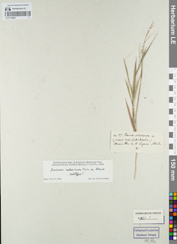
LE 01155605
Groups of specimens: Гербарий Карла Бернхарда Триниуса; Соглашение Минобрнауки №075-15-2021-1056Record creation: 2021-12-15, Denis Melnikov, PhotoScan D2Citation: Specimen LE 01155605 // Virtual herbarium of Komarov Botanical Institute RAS — http://re.herbariumle.ru/01155605
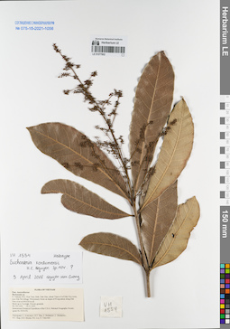
LE 01077802
Holotype of Buchanania kontumemsis H.C.Nguyen ⟮prelim. ID⟯ det. Cuong, Huu Nguyen at 05.04.2018
Additional identifications: Buchanania sp. det. Averyanov, Leonid Vladimirovich at 12.11.1995 Collectors: Averyanov, Leonid Vladimirovich; et al. Field collecting number: VH1554. Collection date: 12.11.1995. Administrative regions: VN - Kon Tum. Groups of specimens: L. V. Averyanov specimens; L. V. Averyanov herbarium; Соглашение Минобрнауки №075-15-2021-1056Original label text:FLORA OF VIETNAM
Anacardiaceae
Buchanania sp.
S. Vietnam, Prov. Kon Tum, Distr. Dak Gley, about 7 km to S of Dak Gley town, near Dak Pet willage. Wet primary forest on slopes of N exposition along Dak Poko river at 600-650 m alt.
Shrub up to 3 m high. Flowers greenish. VH 1554 12.11.1995
International Botanical Expedition of the U.S.A. National Geographic Society (grant No 5094-93)
Participants: L. Averyanov, N.T. Ban, A. Budantzev, L. Budantzev, N.T. Hiep, D.D. Huyen, P.K. Loc, G. Yakovlev
Record creation: 2021-12-15, Tatiana Maisak, PhotoScan D2. Processing status: work_status_1Citation: Specimen LE 01077802 // Virtual herbarium of Komarov Botanical Institute RAS — http://re.herbariumle.ru/01077802Anacardiaceae
Buchanania sp.
S. Vietnam, Prov. Kon Tum, Distr. Dak Gley, about 7 km to S of Dak Gley town, near Dak Pet willage. Wet primary forest on slopes of N exposition along Dak Poko river at 600-650 m alt.
Shrub up to 3 m high. Flowers greenish. VH 1554 12.11.1995
International Botanical Expedition of the U.S.A. National Geographic Society (grant No 5094-93)
Participants: L. Averyanov, N.T. Ban, A. Budantzev, L. Budantzev, N.T. Hiep, D.D. Huyen, P.K. Loc, G. Yakovlev
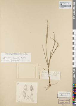
LE 01155604
Groups of specimens: Гербарий Карла Бернхарда Триниуса; Соглашение Минобрнауки №075-15-2021-1056Record creation: 2021-12-15, Denis Melnikov, PhotoScan D2Citation: Specimen LE 01155604 // Virtual herbarium of Komarov Botanical Institute RAS — http://re.herbariumle.ru/01155604
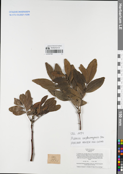
LE 01077801
Pistacia cucphuongensis T.Ð.Ðai det. Cuong, Huu Nguyen at 22.03.2018
Additional identifications: Pistacia sp. det. Averyanov, Leonid Vladimirovich at 13.12.1998 Collectors: Averyanov, Leonid Vladimirovich; et al. Field collecting number: CBL1194. Collection date: 13.12.1998. Administrative regions: VN - Tinh Cao Bang. Groups of specimens: L. V. Averyanov specimens; L. V. Averyanov herbarium; Соглашение Минобрнауки №075-15-2021-1056Original label text:FLORA OF VIETNAM
Anacardiaceae
Pistacia sp.
N. Vietnam, prov. Cao Bang, distr. Tra Linh, municipality Luu Ngoc,
vicinities of Lung Mu village (N 22°47′ E 106°18′), about 14 km from
Cao Bang town to the N. Primary coniferous and mixed semideciduous
open forest (with Pseudotsuga brevifolia) along tops of limestone ridge
at 800 m alt. Tree up to 15 m hg. Usual codominante of the 2 forest
stratum. CBL 1194 13 Dec. 1998
International Botanical Expedition of the U.S.A. National Geographic
Society (grant No 6300-98)
Collectors: Averyanov L., N.Q.Binh, N.T.Hiep, P.K.Loc, N.X.Tam.
Coordinates (geographic position): 22° 47′ N, 106° 18′ E ±1000 mRecord creation: 2021-12-15, Tatiana Maisak, PhotoScan D2. Processing status: work_status_1Citation: Specimen LE 01077801 // Virtual herbarium of Komarov Botanical Institute RAS — http://re.herbariumle.ru/01077801Anacardiaceae
Pistacia sp.
N. Vietnam, prov. Cao Bang, distr. Tra Linh, municipality Luu Ngoc,
vicinities of Lung Mu village (N 22°47′ E 106°18′), about 14 km from
Cao Bang town to the N. Primary coniferous and mixed semideciduous
open forest (with Pseudotsuga brevifolia) along tops of limestone ridge
at 800 m alt. Tree up to 15 m hg. Usual codominante of the 2 forest
stratum. CBL 1194 13 Dec. 1998
International Botanical Expedition of the U.S.A. National Geographic
Society (grant No 6300-98)
Collectors: Averyanov L., N.Q.Binh, N.T.Hiep, P.K.Loc, N.X.Tam.
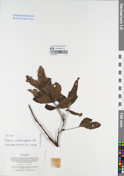
LE 01077800
Pistacia cucphuongensis T.Ð.Ðai det. Cuong, Huu Nguyen at 22.03.2018
Additional identifications: Anacardiaceae sp. det. Averyanov, Leonid Vladimirovich at 25.11.1998 Collectors: Averyanov, Leonid Vladimirovich; et al. Field collecting number: CBL626. Collection date: 25.11.1998. Administrative regions: VN - Tinh Cao Bang. Groups of specimens: L. V. Averyanov specimens; L. V. Averyanov herbarium; Соглашение Минобрнауки №075-15-2021-1056Original label text:FLORA OF VIETNAM
Anacardiaceae
N. Vietnam, prov. Cao Bang, distr. Ha Lang, municipality Dong Loan,
vicinities of Ban Lung and Lung Phuc (N 22°46′ E 106°44′), about 50 km
to E from Cao Bang town. Open primary mixed mossy semideciduous and
coniferous forest along tops of limestone ridge at 650-700 m alt.
Shrub or treelet up to 3 m hg. Common. CBL 626 25 Nov. 1998
International Botanical Expedition of the U.S.A. National Geographic
Society (grant No 6300-98)
Collectors: Averyanov L., P.K.Loc, N.X.Tam.
Coordinates (geographic position): 22° 46′ N, 106° 44′ E ±1000 mRecord creation: 2021-12-15, Tatiana Maisak, PhotoScan D2. Processing status: work_status_1Citation: Specimen LE 01077800 // Virtual herbarium of Komarov Botanical Institute RAS — http://re.herbariumle.ru/01077800Anacardiaceae
N. Vietnam, prov. Cao Bang, distr. Ha Lang, municipality Dong Loan,
vicinities of Ban Lung and Lung Phuc (N 22°46′ E 106°44′), about 50 km
to E from Cao Bang town. Open primary mixed mossy semideciduous and
coniferous forest along tops of limestone ridge at 650-700 m alt.
Shrub or treelet up to 3 m hg. Common. CBL 626 25 Nov. 1998
International Botanical Expedition of the U.S.A. National Geographic
Society (grant No 6300-98)
Collectors: Averyanov L., P.K.Loc, N.X.Tam.
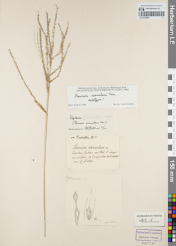
LE 01155603
Groups of specimens: Гербарий Карла Бернхарда Триниуса; Соглашение Минобрнауки №075-15-2021-1056Record creation: 2021-12-15, Denis Melnikov, PhotoScan D2Citation: Specimen LE 01155603 // Virtual herbarium of Komarov Botanical Institute RAS — http://re.herbariumle.ru/01155603
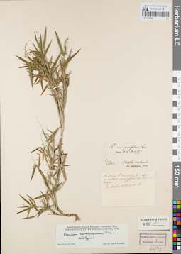
LE 01155602
Groups of specimens: Гербарий Карла Бернхарда Триниуса; Соглашение Минобрнауки №075-15-2021-1056Record creation: 2021-12-15, Denis Melnikov, PhotoScan D2Citation: Specimen LE 01155602 // Virtual herbarium of Komarov Botanical Institute RAS — http://re.herbariumle.ru/01155602
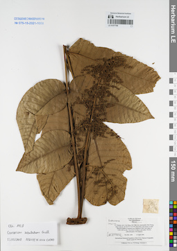
LE 01077799
Canarium subulatum Guillaumin det. Cuong, Huu Nguyen at 23.03.2018
Collectors: Phan Ke Loc; Averyanov, Leonid Vladimirovich; et al. Field collecting number: CBL1428. Collection date: 15.04.1999. Administrative regions: VN - Tinh Cao Bang. Groups of specimens: L. V. Averyanov specimens; L. V. Averyanov herbarium; Соглашение Минобрнауки №075-15-2021-1056Original label text:FLORA OF VIETNAM
Anacardiaceae
Rhus sp.
N. Vietnam, prov. Cao Bang, distr. Bao Lac, municipality Dinh Phung,
Nam Linh mt. (N 22°47′ E 105°49′). Secondary open forest on shale
alluvial foothills of remnant karst limestone Nam Linh ridges at
1350-1400 m elev. Tree about 8 m hg in open place. Flowers
yellowish-green. Not common.
CBL 1428 15 April 1999
International Botanical Expedition of the U.S.A. National Geographic
Society (grant No 6300-98)
Collectors: P.K.Loc, P.H.Hoang, Averyanov L.
Coordinates (geographic position): 22° 47′ N, 105° 49′ E ±1000 mRecord creation: 2021-12-15, Tatiana Maisak, PhotoScan D2. Processing status: work_status_1Citation: Specimen LE 01077799 // Virtual herbarium of Komarov Botanical Institute RAS — http://re.herbariumle.ru/01077799Anacardiaceae
Rhus sp.
N. Vietnam, prov. Cao Bang, distr. Bao Lac, municipality Dinh Phung,
Nam Linh mt. (N 22°47′ E 105°49′). Secondary open forest on shale
alluvial foothills of remnant karst limestone Nam Linh ridges at
1350-1400 m elev. Tree about 8 m hg in open place. Flowers
yellowish-green. Not common.
CBL 1428 15 April 1999
International Botanical Expedition of the U.S.A. National Geographic
Society (grant No 6300-98)
Collectors: P.K.Loc, P.H.Hoang, Averyanov L.