View
Add
Copy
Edit
Delete
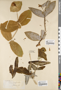
LE 01192393
Groups of specimens: Образцы общего сектораRecord creation: 2022-07-28, Larisa Orlova, PhotoScan D2. Part 1.Citation: Specimen LE 01192393 // Virtual herbarium of Komarov Botanical Institute RAS — http://re.herbariumle.ru/01192393
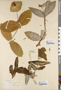
LE 01192392
Groups of specimens: Образцы общего сектораRecord creation: 2022-07-28, Larisa Orlova, PhotoScan D2. Part 1.Citation: Specimen LE 01192392 // Virtual herbarium of Komarov Botanical Institute RAS — http://re.herbariumle.ru/01192392
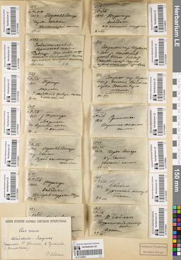
LE 01192603
Groups of specimens: Образцы сектора Сибири и Дальнего Востока России; Соглашение Минобрнауки №075-15-2021-1056Record creation: 2022-07-28, Larisa Orlova, PhotoScan D2. Part 3.. Processing status: label contains unreadable dataCitation: Specimen LE 01192603 // Virtual herbarium of Komarov Botanical Institute RAS — http://re.herbariumle.ru/01192603
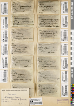
LE 01192602
Pinus sp. det. Abolin, Robert Ivanovich
Collectors: Poplavskaya (Poplawska), Henrietta Ippolitovna; Sukaczev, Vladimir Nikolajevich Field collecting number: 412. Collection date: 23.06.1912. Administrative regions: RU - Zabaykal'skiy Kray - Tungiro-Olekminskiy Rayon. Place of collection: бассейн р. Тунгир, р. Джекдачи, вторая терраса р. Тунгир.Groups of specimens: Образцы сектора Сибири и Дальнего Востока России; Соглашение Минобрнауки №075-15-2021-1056Object features: хвоя сосныOriginal label text:412. В.С. и Г.П. 1910. Тунгир. Дзягдачи. Вторая терраса Тунг. 23.VI
Landscape in location of collection: вторая терраса рекиCoordinates (geographic position): 54° 7′ 34.73″ N, 119° 21′ 11.68″ E ±1000 mRecord creation: 2022-07-28, Larisa Orlova, PhotoScan D2. Part 3.Citation: Specimen LE 01192602 // Virtual herbarium of Komarov Botanical Institute RAS — http://re.herbariumle.ru/01192602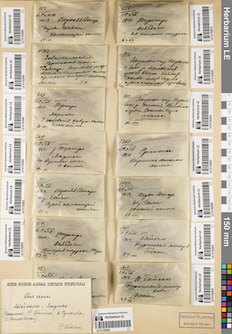
LE 01192586
Pinus sp. det. Abolin, Robert Ivanovich
Collectors: Sukaczev, Vladimir Nikolajevich; Schipczinski, Nikolaj Valerianovich Field collecting number: 153. Collection date: 12.06.1912. Administrative regions: RU - Respublika Buryatiya - Severo-Baykal'skiy Rayon. Place of collection: р. Верхняя Ангара, дер. Чечевки, каменистый склон.Groups of specimens: Образцы сектора Сибири и Дальнего Востока России; Соглашение Минобрнауки №075-15-2021-1056Object features: хвоя сосныOriginal label text:[1]12. В.С. и Н.Ш. 1912. Верхняя Ангара. дер. Чечевки. Каменистый склон. 10-VI [2]Museum Botanicum Academiae Scientiarum Petropolitanae. Хвоя сосны. Забайкалье-Якутск (Экземпл. Р. Аболина, В. Сукачева, Г. Поплавской). Р. Аболин
Landscape in location of collection: каменистый склонCoordinates (geographic position): 55° 50′ 43.86″ N, 109° 47′ 39.98″ E ±20000 mRecord creation: 2022-07-28, Larisa Orlova, PhotoScan D2. Part 3.Citation: Specimen LE 01192586 // Virtual herbarium of Komarov Botanical Institute RAS — http://re.herbariumle.ru/01192586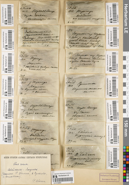
LE 01192600
Pinus sp. det. Abolin, Robert Ivanovich
Collectors: Poplavskaya (Poplawska), Henrietta Ippolitovna; Sukaczev, Vladimir Nikolajevich Field collecting number: 369. Collection date: 19.06.1910. Administrative regions: RU - Zabaykal'skiy Kray - Tungiro-Olekminskiy Rayon. Place of collection: бассейн р. Тунгир, р. Мармачи, на вершине сопки, северный склон.Groups of specimens: Образцы сектора Сибири и Дальнего Востока России; Соглашение Минобрнауки №075-15-2021-1056Object features: хвоя сосныOriginal label text:369. В.С. и Г.П. 1910. р. Тунгир. Мармачи на вершине сопки, с. склон. 19-VI
Landscape in location of collection: северный склон на вершине сопкиCoordinates (geographic position): 54° 11′ 39.22″ N, 119° 9′ 56.1″ E ±10000 mRecord creation: 2022-07-28, Larisa Orlova, PhotoScan D2. Part 3.Citation: Specimen LE 01192600 // Virtual herbarium of Komarov Botanical Institute RAS — http://re.herbariumle.ru/01192600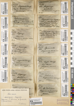
LE 01192599
Pinus sp. det. Abolin, Robert Ivanovich
Collectors: Poplavskaya (Poplawska), Henrietta Ippolitovna; Sukaczev, Vladimir Nikolajevich Field collecting number: 327. Collection date: 16.06.1910. Administrative regions: RU - Zabaykal'skiy Kray - Tungiro-Olekminskiy Rayon. Place of collection: бассейн р. Тунгир, р. Мармачи, у основания северо-западного склона близ поймы.Groups of specimens: Образцы сектора Сибири и Дальнего Востока России; Соглашение Минобрнауки №075-15-2021-1056Object features: хвоя сосныOriginal label text:327. В.С. и Г.П. 1910. Тунгир. Мармачи. У основания севзап. склона близ поймы. 16-VI
Landscape in location of collection: основание северо-западного склона близ поймы рекиCoordinates (geographic position): 54° 11′ 39.22″ N, 119° 9′ 56.1″ E ±10000 mRecord creation: 2022-07-28, Larisa Orlova, PhotoScan D2. Part 3.Citation: Specimen LE 01192599 // Virtual herbarium of Komarov Botanical Institute RAS — http://re.herbariumle.ru/01192599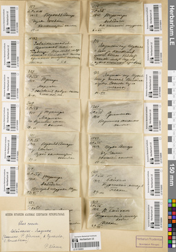
LE 01192598
Pinus sp. det. Abolin, Robert Ivanovich
Collectors: Abolin, Robert Ivanovich Field collecting number: 222. Collection date: 11.06.1911. Administrative regions: RU - Zabaykal'skiy Kray - Chernyshevskiy Rayon. Place of collection: с. Усть-Горбица, верхняя часть южного безлесного склона.Groups of specimens: Образцы сектора Сибири и Дальнего Востока России; Соглашение Минобрнауки №075-15-2021-1056Object features: Хвоя сосны. Одинокий старый экземплярOriginal label text:N. 222. Забайкальская обл. Нерчинская тайга. Горбица. Верхняя часть южного безлесного склона. Одинокий старый экземпляр. 1911.VI.11 Р.А
Landscape in location of collection: верхняя часть южного безлесного склонаHabitat / plant community in location of collecting: одинокий старый экземплярCoordinates (geographic position): 52° 49′ 14.64″ N, 116° 43′ 31.91″ E ±10000 mRecord creation: 2022-07-28, Larisa Orlova, PhotoScan D2. Part 3.Citation: Specimen LE 01192598 // Virtual herbarium of Komarov Botanical Institute RAS — http://re.herbariumle.ru/01192598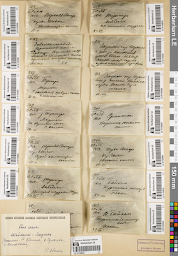
LE 01192601
Pinus sp. det. Abolin, Robert Ivanovich
Collectors: Poplavskaya (Poplawska), Henrietta Ippolitovna; Sukaczev, Vladimir Nikolajevich Field collecting number: 401. Collection date: 29.06.1912. Administrative regions: RU - Respublika Buryatiya - Severo-Baykal'skiy Rayon. Place of collection: р. Верхняя Ангара, дер. Ченчи, сухой каменистый сосняк.Groups of specimens: Образцы сектора Сибири и Дальнего Востока России; Соглашение Минобрнауки №075-15-2021-1056Object features: хвоя сосныOriginal label text:401. В.С. и Г.П. 1912. Верхняя Ангара дер. Ченчи. Сухой каменистый сосняк. 29-VI
Habitat / plant community in location of collecting: сухой каменистый сосняк.Coordinates (geographic position): 55° 57′ 57.52″ N, 110° 59′ 45.15″ E ±10000 mRecord creation: 2022-07-28, Larisa Orlova, PhotoScan D2. Part 3.Citation: Specimen LE 01192601 // Virtual herbarium of Komarov Botanical Institute RAS — http://re.herbariumle.ru/01192601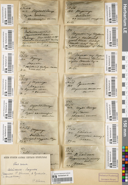
LE 01192608
Pinus sp. det. Abolin, Robert Ivanovich
Collectors: Abolin, Robert Ivanovich Field collecting number: 913. Collection date: 14.08. Administrative regions: RU - Respublika Sakha (Yakutiya) - Verkhoyansky District; RU - Respublika Sakha (Yakutiya). Subregion: Горный улус. Place of collection: верхняя часть бассейна р. Кенгкеме, Вилюйский перевоз, сосновый бор на песках.Groups of specimens: Образцы сектора Сибири и Дальнего Востока России; Соглашение Минобрнауки №075-15-2021-1056Object features: хвоя сосныOriginal label text:913. Якутский окр. Верхняя [часть] басс. р. Кемкемя. Вилюйск[ий] перевоз. Сосновый бор на песках. 14-VIII
Landscape in location of collection: берег рекиHabitat / plant community in location of collecting: сосновый бор на пескахCoordinates (geographic position): 61° 59′ 31.08″ N, 127° 21′ 11.89″ E ±10000 mRecord creation: 2022-07-28, Larisa Orlova, PhotoScan D2. Part 3.Citation: Specimen LE 01192608 // Virtual herbarium of Komarov Botanical Institute RAS — http://re.herbariumle.ru/01192608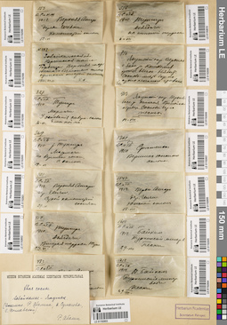
LE 01192607
Pinus sp. det. Abolin, Robert Ivanovich
Collectors: Poplavskaya (Poplawska), Henrietta Ippolitovna; Sukaczev, Vladimir Nikolajevich Field collecting number: 1361. Collection date: 1910. Administrative regions: RU - Zabaykal'skiy Kray - Sretenskiy Rayon. Place of collection: г. Сретенск, вершина южного склона.Groups of specimens: Образцы сектора Сибири и Дальнего Востока России; Соглашение Минобрнауки №075-15-2021-1056Object features: хвоя сосныOriginal label text:1361. ВС. и ГП. 1910 Сретенск. Вершина южного склона
Landscape in location of collection: вершина южного склонаCoordinates (geographic position): 52° 14′ 37.18″ N, 117° 41′ 45.7″ E ±10000 mRecord creation: 2022-07-28, Larisa Orlova, PhotoScan D2. Part 3.Citation: Specimen LE 01192607 // Virtual herbarium of Komarov Botanical Institute RAS — http://re.herbariumle.ru/01192607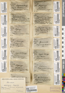
LE 01192610
Pinus sp. det. Abolin, Robert Ivanovich
Collectors: Sukaczev, Vladimir Nikolajevich; Poplavskaya (Poplawska), Henrietta Ippolitovna Field collecting number: 516. Collection date: 06.07.1910. Administrative regions: RU - Zabaykal'skiy Kray - Tungiro-Olekminskiy Rayon. Place of collection: р. Тунгир, р. Джекдачи, нижняя терраса.Groups of specimens: Образцы сектора Сибири и Дальнего Востока России; Соглашение Минобрнауки №075-15-2021-1056Object features: хвоя сосныOriginal label text:516. ВС. и ГП. 1910. Тунгир. Дзягдачи. на нижней террасе. 6-VII
Landscape in location of collection: нижняя терраса рекиCoordinates (geographic position): 54° 6′ 9.4″ N, 119° 20′ 44.45″ E ±20000 mRecord creation: 2022-07-28, Larisa Orlova, PhotoScan D2. Part 3.Citation: Specimen LE 01192610 // Virtual herbarium of Komarov Botanical Institute RAS — http://re.herbariumle.ru/01192610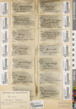
LE 01192609
Pinus sp. det. Abolin, Robert Ivanovich
Collectors: Abolin, Robert Ivanovich Field collecting number: 816. Collection date: 01.08.1912. Administrative regions: RU - Respublika Sakha (Yakutiya). Subregion: Горный улус. Place of collection: верхняя часть бассейна р. Кемкеме, устье р. Ыгас-Ыябыт.Groups of specimens: Образцы сектора Сибири и Дальнего Востока России; Соглашение Минобрнауки №075-15-2021-1056Object features: хвоя сосныOriginal label text:816. Якутский окр. Верхняя ч. басс. р. Кемкемя устье Ыгась-Ыябыт. Сосново-листв. бор на сухих песчаных гривках. 1/VIII
Landscape in location of collection: устье рекиHabitat / plant community in location of collecting: сосново-лиственный бор на сухих песчаных гривкахSubstrate in collecting location: сухой песокCoordinates (geographic position): 61° 59′ 45.58″ N, 127° 19′ 7.49″ E ±1000 mRecord creation: 2022-07-28, Larisa Orlova, PhotoScan D2. Part 3.Citation: Specimen LE 01192609 // Virtual herbarium of Komarov Botanical Institute RAS — http://re.herbariumle.ru/01192609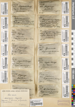
LE 01192604
Pinus sp. det. Abolin, Robert Ivanovich
Collectors: Poplavskaya (Poplawska), Henrietta Ippolitovna; Sukaczev, Vladimir Nikolajevich Field collecting number: 1612. Collection date: 29.08.1912. Administrative regions: RU - Respublika Buryatiya - Pribaykal'skiy Rayon. Place of collection: оз. Байкал, с. Горячинск, Туркинские минеральные воды, пески.Groups of specimens: Образцы сектора Сибири и Дальнего Востока России; Соглашение Минобрнауки №075-15-2021-1056Object features: хвоя сосныOriginal label text:1612. ВС и ГП. 1912. Оз. Байкал. Туркинские минер. воды. Пески. 29-VIII
Landscape in location of collection: пескиSubstrate in collecting location: песокCoordinates (geographic position): 52° 59′ 8.05″ N, 108° 18′ 0.33″ E ±2000 mRecord creation: 2022-07-28, Larisa Orlova, PhotoScan D2. Part 3.Citation: Specimen LE 01192604 // Virtual herbarium of Komarov Botanical Institute RAS — http://re.herbariumle.ru/01192604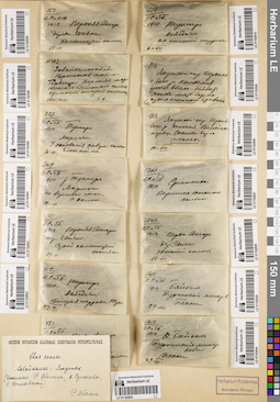
LE 01192606
Pinus sp. det. Abolin, Robert Ivanovich
Collectors: Poplavskaya (Poplawska), Henrietta Ippolitovna; Sukaczev, Vladimir Nikolajevich Field collecting number: 1547. Collection date: 18.08.1912. Administrative regions: RU - Respublika Buryatiya - Severo-Baykal'skiy Rayon. Place of collection: р. Верхняя Ангара, дер. Ченчи, южный склон.Groups of specimens: Образцы сектора Сибири и Дальнего Востока России; Соглашение Минобрнауки №075-15-2021-1056Object features: хвоя сосныOriginal label text:1547. ВС. и ГП. 1912 Верхн. Ангара дер. Ченчи. Южный склон. 18-VIII
Landscape in location of collection: южный склонCoordinates (geographic position): 55° 57′ 57.52″ N, 110° 59′ 45.15″ E ±10000 mRecord creation: 2022-07-28, Larisa Orlova, PhotoScan D2. Part 3.Citation: Specimen LE 01192606 // Virtual herbarium of Komarov Botanical Institute RAS — http://re.herbariumle.ru/01192606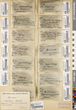
LE 01192605
Pinus sp. det. Abolin, Robert Ivanovich
Collectors: Poplavskaya (Poplawska), Henrietta Ippolitovna; Sukaczev, Vladimir Nikolajevich Field collecting number: 1610. Collection date: 29.08.1912. Administrative regions: RU - Respublika Buryatiya - Pribaykal'skiy Rayon. Place of collection: оз. Байкал, с. Горячинск, Туркинские минеральные воды, пески.Groups of specimens: Образцы сектора Сибири и Дальнего Востока России; Соглашение Минобрнауки №075-15-2021-1056Object features: хвоя сосныOriginal label text:1610. В.С. и Г.П. 1912. Байкал. Туркинские минер. воды. Пески 29-VIII
Landscape in location of collection: пескиSubstrate in collecting location: песокCoordinates (geographic position): 52° 59′ 8.05″ N, 108° 18′ 0.33″ E ±2000 mRecord creation: 2022-07-28, Larisa Orlova, PhotoScan D2. Part 3.Citation: Specimen LE 01192605 // Virtual herbarium of Komarov Botanical Institute RAS — http://re.herbariumle.ru/01192605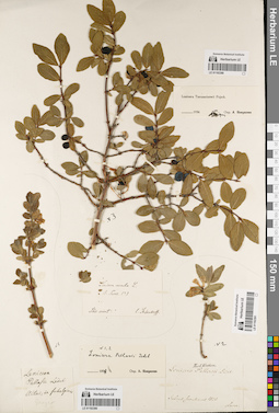
LE 01192389
Groups of specimens: Образцы общего сектораRecord creation: 2022-07-28, Larisa Orlova, PhotoScan D2. Part 1.Citation: Specimen LE 01192389 // Virtual herbarium of Komarov Botanical Institute RAS — http://re.herbariumle.ru/01192389
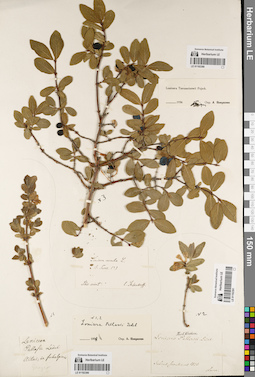
LE 01192390
Groups of specimens: Образцы общего сектораRecord creation: 2022-07-28, Larisa Orlova, PhotoScan D2. Part 1.Citation: Specimen LE 01192390 // Virtual herbarium of Komarov Botanical Institute RAS — http://re.herbariumle.ru/01192390
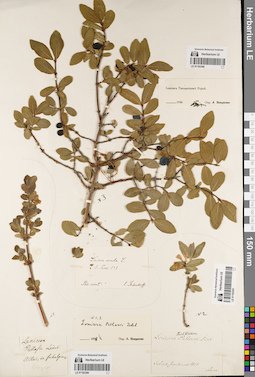
LE 01192391
Groups of specimens: Образцы общего сектораRecord creation: 2022-07-28, Larisa Orlova, PhotoScan D2. Part 1.Citation: Specimen LE 01192391 // Virtual herbarium of Komarov Botanical Institute RAS — http://re.herbariumle.ru/01192391
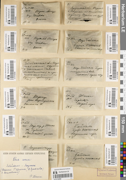
LE 01192590
Groups of specimens: Образцы сектора Сибири и Дальнего Востока России; Соглашение Минобрнауки №075-15-2021-1056Record creation: 2022-07-28, Larisa Orlova, PhotoScan D2. Part 3.Citation: Specimen LE 01192590 // Virtual herbarium of Komarov Botanical Institute RAS — http://re.herbariumle.ru/01192590
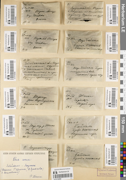
LE 01192591
Pinus sp. det. Abolin, Robert Ivanovich
Collectors: Poplavskaya (Poplawska), Henrietta Ippolitovna Field collecting number: 39. Collection date: 10.05.1910. Administrative regions: RU - Zabaykal'skiy Kray - Chernyshevskiy Rayon. Place of collection: окрестности р. Шилка, ост. пункт ж.д. Усть-Горбица, скалистый утес.Groups of specimens: Образцы сектора Сибири и Дальнего Востока России; Соглашение Минобрнауки №075-15-2021-1056Object features: хвоя сосныOriginal label text:39. ВС. и ГП. 1910 Нерч. окр. р. Шилки ст. Горбица. Скалистый утес. 10-V
Landscape in location of collection: скалистый утесCoordinates (geographic position): 52° 49′ 12.75″ N, 116° 43′ 39.1″ E ±10000 mRecord creation: 2022-07-28, Larisa Orlova, PhotoScan D2. Part 3.Citation: Specimen LE 01192591 // Virtual herbarium of Komarov Botanical Institute RAS — http://re.herbariumle.ru/01192591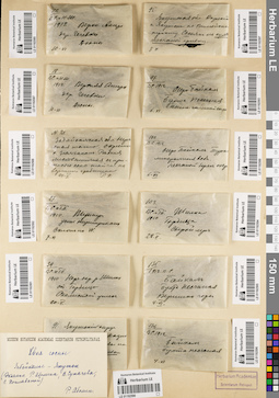
LE 01192588
Pinus sp. det. Abolin, Robert Ivanovich
Collectors: Abolin, Robert Ivanovich Field collecting number: 21. Collection date: 24.05. Administrative regions: RU - Zabaykal'skiy Kray - Nerchinskiy Rayon. Place of collection: окрестности с. Зюльзикан, редкая лиственничная с примесью сосны тайга на вершине гребшина.Groups of specimens: Образцы сектора Сибири и Дальнего Востока России; Соглашение Минобрнауки №075-15-2021-1056Object features: хвоя сосныOriginal label text:N. 21. Забайкальская обл. Нерчинская тайга. Окрестности с. Зюльакан. Редкая лиственничная с примесью соны тайга на вершине гребшина. 24-V. Р.А.
Landscape in location of collection: вершина гребшинаHabitat / plant community in location of collecting: редкая лиственничная с примесью сосны тайгаCoordinates (geographic position): 52° 40′ 25.09″ N, 116° 16′ 58.3″ E ±10000 mRecord creation: 2022-07-28, Larisa Orlova, PhotoScan D2. Part 3.Citation: Specimen LE 01192588 // Virtual herbarium of Komarov Botanical Institute RAS — http://re.herbariumle.ru/01192588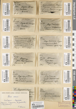
LE 01192592
Pinus sp. det. Abolin, Robert Ivanovich
Collectors: Poplavskaya (Poplawska), Henrietta Ippolitovna; Sukaczev, Vladimir Nikolajevich Field collecting number: 27. Collection date: 07.06.1910. Administrative regions: RU - Zabaykal'skiy Kray - Tungiro-Olekminskiy Rayon. Place of collection: Тунгир, устье р. Тунгирикан, склон на запад.Groups of specimens: Образцы сектора Сибири и Дальнего Востока России; Соглашение Минобрнауки №075-15-2021-1056Object features: хвоя сосныOriginal label text:27. В.С. и Г.П. 1910. Тунгир, устье Тунгирикана. Склон на W. 7.VI
Landscape in location of collection: склон на запад в устье рекиCoordinates (geographic position): 55° 24′ 33.64″ N, 120° 34′ 13.11″ E ±10000 mRecord creation: 2022-07-28, Larisa Orlova, PhotoScan D2. Part 3.Citation: Specimen LE 01192592 // Virtual herbarium of Komarov Botanical Institute RAS — http://re.herbariumle.ru/01192592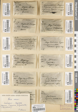
LE 01192587
Pinus sp. det. Abolin, Robert Ivanovich
Collectors: Sukaczev, Vladimir Nikolajevich; Schipczinski, Nikolaj Valerianovich Field collecting number: 18. Collection date: 10.06.1912. Administrative regions: RU - Respublika Buryatiya - Severo-Baykal'skiy Rayon. Place of collection: р. Верхняя Ангара, дер. Чечевки, дюны.Groups of specimens: Образцы сектора Сибири и Дальнего Востока России; Соглашение Минобрнауки №075-15-2021-1056Object features: хвоя сосныOriginal label text:[1]18. В.С. и Н.Ш. 1912. Верхняя Ангара. дер. Чечевки. Дюны. 10-VI [2]Museum Botanicum Academiae Scientiarum Petropolitanae. Хвоя сосны. Забайкалье-Якутск (Экземпл. Р. Аболина, В. Сукачева, Г. Поплавской). Р. Аболин
Landscape in location of collection: дюныSubstrate in collecting location: песокCoordinates (geographic position): 55° 50′ 39.6″ N, 109° 47′ 23.22″ E ±10000 mRecord creation: 2022-07-28, Larisa Orlova, PhotoScan D2. Part 3.Citation: Specimen LE 01192587 // Virtual herbarium of Komarov Botanical Institute RAS — http://re.herbariumle.ru/01192587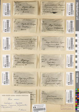
LE 01192585
Pinus sp. det. Abolin, Robert Ivanovich
Collectors: Sukaczev, Vladimir Nikolajevich; Schipczinski, Nikolaj Valerianovich Field collecting number: 12. Collection date: 10.06.1912. Administrative regions: RU - Respublika Buryatiya - Severo-Baykal'skiy Rayon. Place of collection: р. Верхняя Ангара, дер. Чечевки, дюны.Groups of specimens: Образцы сектора Сибири и Дальнего Востока России; Соглашение Минобрнауки №075-15-2021-1056Object features: хвоя сосныOriginal label text:[1]12. В.С. и Н.Ш. 1912. Верхн. Ангара. дер. Чечевки. Дюны. 10-VI [2]Museum Botanicum Academiae Scientiarum Petropolitanae. Хвоя сосны. Забайкалье-Якутск (Экземпл. Р. Аболина, В. Сукачева, Г. Поплавской). Р. Аболин
Landscape in location of collection: дюныSubstrate in collecting location: песокCoordinates (geographic position): 55° 50′ 43.86″ N, 109° 47′ 39.98″ E ±20000 mRecord creation: 2022-07-28, Larisa Orlova, PhotoScan D2. Part 3.Citation: Specimen LE 01192585 // Virtual herbarium of Komarov Botanical Institute RAS — http://re.herbariumle.ru/01192585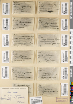
LE 01192596
Pinus sp. det. Abolin, Robert Ivanovich
Collectors: Sukaczev, Vladimir Nikolajevich Field collecting number: 136. Collection date: 04.06.1912. Administrative regions: RU - Irkutskaya Oblast' - Irkutskiy Rayon. Place of collection: оз. Байкал, бухта Песчаная.Groups of specimens: Образцы сектора Сибири и Дальнего Востока России; Соглашение Минобрнауки №075-15-2021-1056Object features: хвоя сосныOriginal label text:136. В.С. 1912 Байкал. Бухта Песчаная. 4-VI
Coordinates (geographic position): 52° 15′ 36.98″ N, 105° 41′ 53.34″ E ±1000 mRecord creation: 2022-07-28, Larisa Orlova, PhotoScan D2. Part 3.Citation: Specimen LE 01192596 // Virtual herbarium of Komarov Botanical Institute RAS — http://re.herbariumle.ru/01192596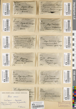
LE 01192595
Pinus sp. det. Abolin, Robert Ivanovich
Collectors: Sukaczev, Vladimir Nikolajevich Field collecting number: 135. Collection date: 04.06.1912. Administrative regions: RU - Irkutskaya Oblast' - Irkutskiy Rayon. Place of collection: оз. Байкал, бухта Песчаная, вершина горы.Groups of specimens: Образцы сектора Сибири и Дальнего Востока России; Соглашение Минобрнауки №075-15-2021-1056Object features: хвоя сосныOriginal label text:135. 1912. В.С. Байкал. Бухта Песчаная. Вершина горы. 4-VI
Landscape in location of collection: вершина горыCoordinates (geographic position): 52° 15′ 38.55″ N, 105° 41′ 39.44″ E ±500 mRecord creation: 2022-07-28, Larisa Orlova, PhotoScan D2. Part 3.Citation: Specimen LE 01192595 // Virtual herbarium of Komarov Botanical Institute RAS — http://re.herbariumle.ru/01192595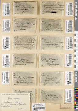
LE 01192594
Pinus sp. det. Abolin, Robert Ivanovich
Collectors: Poplavskaya (Poplawska), Henrietta Ippolitovna; Sukaczev, Vladimir Nikolajevich Field collecting number: 103. Collection date: 28.05.1910. Administrative regions: RU - Zabaykal'skiy Kray - Chernyshevskiy Rayon. Place of collection: р. Шилка, ост. пункт Усть-Горбица, сырой луг.Groups of specimens: Образцы сектора Сибири и Дальнего Востока России; Соглашение Минобрнауки №075-15-2021-1056Object features: хвоя сосныOriginal label text:103. ВС. и ТП. 1910 Шилка, Горбица. Сырой луг. 28.V
Habitat / plant community in location of collecting: сырой лугCoordinates (geographic position): 52° 49′ 14.5″ N, 116° 43′ 48.24″ E ±10000 mRecord creation: 2022-07-28, Larisa Orlova, PhotoScan D2. Part 3.Citation: Specimen LE 01192594 // Virtual herbarium of Komarov Botanical Institute RAS — http://re.herbariumle.ru/01192594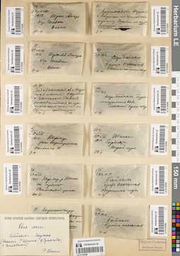
LE 01192593
Pinus sp. det. Abolin, Robert Ivanovich
Collectors: Sukaczev, Vladimir Nikolajevich Field collecting number: 97. Collection date: 06.06.1912. Administrative regions: RU - Irkutskaya Oblast' - Irkutskiy Rayon. Place of collection: оз. Байкал, бухта Песчаная, песчано-галечный склон.Groups of specimens: Образцы сектора Сибири и Дальнего Востока России; Соглашение Минобрнауки №075-15-2021-1056Object features: хвоя сосныOriginal label text:97. В.С. 1912. Озеро Байкал. Бухта Песчаная. Песчано-галечный скло[н]. 6.VI
Landscape in location of collection: песчано-галечный склонCoordinates (geographic position): 52° 15′ 41.98″ N, 105° 41′ 58.01″ E ±1000 mRecord creation: 2022-07-28, Larisa Orlova, PhotoScan D2. Part 3.Citation: Specimen LE 01192593 // Virtual herbarium of Komarov Botanical Institute RAS — http://re.herbariumle.ru/01192593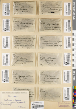
LE 01192589
Pinus sp. det. Abolin, Robert Ivanovich
Collectors: Sukaczev, Vladimir Nikolajevich Field collecting number: 100. Collection date: 06.06.1912. Administrative regions: RU - Respublika Buryatiya - Pribaykal'skiy Rayon. Place of collection: с. Горячинск, Туркинские минеральные воды, песчаный берег озера.Groups of specimens: Образцы сектора Сибири и Дальнего Востока России; Соглашение Минобрнауки №075-15-2021-1056Object features: хвоя сосныOriginal label text:100. В.С. 1912. Озеро Байкал. Турки[нские] минеральные воды. Песчаный берег озера. 6.VI.
Landscape in location of collection: песчаный берег крупного озераSubstrate in collecting location: песокCoordinates (geographic position): 52° 59′ 33.04″ N, 108° 16′ 59.41″ E ±1000 mRecord creation: 2022-07-28, Larisa Orlova, PhotoScan D2. Part 3.Citation: Specimen LE 01192589 // Virtual herbarium of Komarov Botanical Institute RAS — http://re.herbariumle.ru/01192589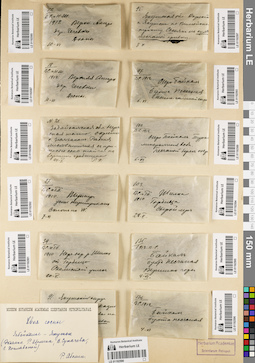
LE 01192597
Pinus sp. det. Abolin, Robert Ivanovich
Collectors: Abolin, Robert Ivanovich Field collecting number: 95. Collection date: 08.06. Administrative regions: RU - Respublika Sakha (Yakutiya) - Yakutsk. Place of collection: окрестности г. Якутск по Вилюйскому тракту, сосняк на сухой песчаной гривке.Groups of specimens: Образцы сектора Сибири и Дальнего Востока России; Соглашение Минобрнауки №075-15-2021-1056Object features: хвоя сосныOriginal label text:95. Якутская обл. Окрест. г. Якутска по Вилюйско[му] тракту. Сосняк на сухой песчаной гривке. 8 VI
Landscape in location of collection: сухая песчаная гривкаHabitat / plant community in location of collecting: соснякCoordinates (geographic position): 62° 6′ 30.33″ N, 129° 22′ 24.02″ E ±50000 mRecord creation: 2022-07-28, Larisa Orlova, PhotoScan D2. Part 3.Citation: Specimen LE 01192597 // Virtual herbarium of Komarov Botanical Institute RAS — http://re.herbariumle.ru/01192597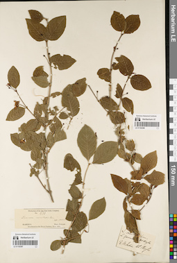
LE 01192388
Lonicera orientalis var. govaniana (Wall. ex DC.) Rehder det. Royle, John Forbes
Collectors: Royle, John Forbes Field collecting number: s.n. Collection date: 1800. Administrative regions: IN - India. Place of collection: Западная Индия (W. India).Groups of specimens: Образцы общего сектора; Hb. RoyleOriginal label text:L. orientalis Lam. α. govaniana. Hb. Royle. h. W. India. Hb. Royle
Coordinates (geographic position): 17° 37′ 30.03″ N, 80° 42′ 45.85″ E ±1000000 mRecord creation: 2022-07-28, Larisa Orlova, PhotoScan D2. Part 1.Citation: Specimen LE 01192388 // Virtual herbarium of Komarov Botanical Institute RAS — http://re.herbariumle.ru/01192388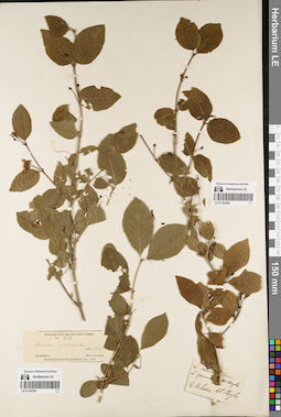
LE 01192387
Lonicera orientalis Lam. det. Maximowicz, Carl Johann
Collectors: Falconer Field collecting number: 511. Collection date: 1864. Administrative regions: PK - Azad Kashmir. Place of collection: штат Кашмир (Kashmir).Groups of specimens: Образцы общего сектора; Herb. of the late East India Company; Herb. FalconerOriginal label text:Herbarium of the late East India Company. No. 511. Lonicera orientalis Lam. teste Maxim. Kashmir. Herb. Falconer. Distributed at the Royal Gardens, Kew. 1864
Coordinates (geographic position): 33° 42′ 39.94″ N, 73° 52′ 34.94″ E ±250000 mRecord creation: 2022-07-28, Larisa Orlova, PhotoScan D2. Part 1.Citation: Specimen LE 01192387 // Virtual herbarium of Komarov Botanical Institute RAS — http://re.herbariumle.ru/01192387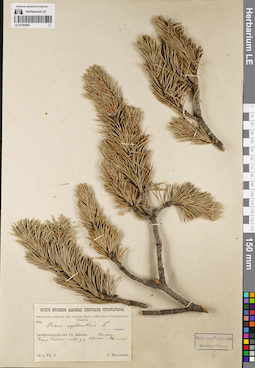
LE 01192584
Pinus sylvestris L. det. Sukaczev, Vladimir Nikolajevich
Collectors: Poplavskaya (Poplawska), Henrietta Ippolitovna Field collecting number: 1246. Collection date: 14.07.1914. Administrative regions: RU - Respublika Buryatiya - Severo-Baykal'skiy Rayon. Place of collection: оз. Байкал, бухта Сосновка, берег оз. Байкал между р. Кудалда и р. Шумилиха (Шумиха).Expedition: Байкальская экспедиция Императорской Академии наук и Императорского Русского географического общества (1914)Groups of specimens: Образцы сектора Сибири и Дальнего Востока России; Соглашение Минобрнауки №075-15-2021-1056Original label text:Museum Botanicum Academiae Scientiarum Petropolitanae. Байкальская экспедиция имп. Академии Наук и имп. Русск. Географического Общества. 1246. Pinus sylvestris L. Teste W. Sukaczew. Забайкальская обл. Оз. Байкал. Сосновка. Берег Байкала между р.р. Кудалдой и Шумихой. 1914.VII.14. Г. Поплавская
Landscape in location of collection: берег крупного озераCoordinates (geographic position): 54° 8′ 53.59″ N, 109° 33′ 21.06″ E ±2000 mRecord creation: 2022-07-28, Larisa Orlova, PhotoScan D2. Part 3.Citation: Specimen LE 01192584 // Virtual herbarium of Komarov Botanical Institute RAS — http://re.herbariumle.ru/01192584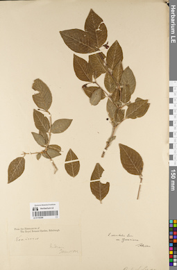
LE 01192386
Lonicera orientalis var. govaniana (Wall. ex DC.) Rehder det. Rehder, Alfred
Additional identifications: Lonicera sp. det. Jameson Groups of specimens: Образцы общего сектораRecord creation: 2022-07-28, Larisa Orlova, PhotoScan D2. Part 1.Citation: Specimen LE 01192386 // Virtual herbarium of Komarov Botanical Institute RAS — http://re.herbariumle.ru/01192386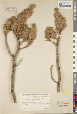
LE 01192583
Pinus sylvestris L. det. Sukaczev, Vladimir Nikolajevich
Collectors: Poplavskaya (Poplawska), Henrietta Ippolitovna Field collecting number: 1220. Collection date: 13.07.1914. Administrative regions: RU - Respublika Buryatiya - Severo-Baykal'skiy Rayon. Place of collection: оз. Байкал, Сосновка, болото моховое в дельте р. Кудалда.Expedition: Байкальская экспедиция Императорской Академии наук и Императорского Русского географического общества (1914)Groups of specimens: Образцы сектора Сибири и Дальнего Востока России; Соглашение Минобрнауки №075-15-2021-1056Original label text:Ex herb. Acad. Imp. Sc. Petrop. Museum Botanicum Academiae Scientiarum Petropolitanae. Байкальская экспедиция имп. Академии Наук и имп. Русск. Географического Общества. 1220. Pinus sylvestris L. Teste W. Sukaczew. Забайкальская обл. Оз. Байкал. Сосновка. Болото моховое в дельте р. Кудалды. 1914.VII.13. Г. Поплавская
Landscape in location of collection: дельта рекиHabitat / plant community in location of collecting: болото моховоеCoordinates (geographic position): 54° 9′ 51.08″ N, 109° 33′ 27.24″ E ±5000 mRecord creation: 2022-07-28, Larisa Orlova, PhotoScan D2. Part 3.Citation: Specimen LE 01192583 // Virtual herbarium of Komarov Botanical Institute RAS — http://re.herbariumle.ru/01192583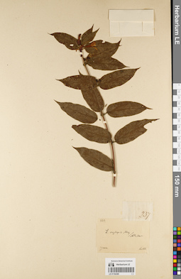
LE 01192385
Groups of specimens: Образцы общего сектораRecord creation: 2022-07-28, Larisa Orlova, PhotoScan D2. Part 1.Citation: Specimen LE 01192385 // Virtual herbarium of Komarov Botanical Institute RAS — http://re.herbariumle.ru/01192385
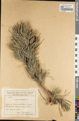
LE 01192582
Pinus sylvestris L. det. Busch
Collectors: Savich (Savicz), Vladimir Mikhailovich; Muchlaev Z. Field collecting number: 464. Collection date: 12.07.1926. Administrative regions: RU - Zabaykal'skiy Kray - Ononskiy Rayon. Place of collection: с. Байн-Цаган, песчаная степь, около бора.Expedition: Экспедиция проф. В.М. Савича на юг Забайкалья для изучения кормового фонда (1926)Groups of specimens: Образцы сектора Сибири и Дальнего Востока России; Соглашение Минобрнауки №075-15-2021-1056; Дальневосточное Краевое Земельное УправлениеOriginal label text:Дальневосточное Краевое Земельное Управление. Экспедиция проф. В.М. Савича на юг Забайкалья для изучения кормового фонда. № 464. Pinus silvestris L. Читинск. окр., Борзинск. район, Баин-Цаган. Песчаная степь, около бора. "12" июля 1926 г. Собрал В.М. Савич З. Мухлаев
Habitat / plant community in location of collecting: песчаная степь около бораCoordinates (geographic position): 50° 19′ 27.05″ N, 115° 4′ 54.07″ E ±10000 mRecord creation: 2022-07-28, Larisa Orlova, PhotoScan D2. Part 3.Citation: Specimen LE 01192582 // Virtual herbarium of Komarov Botanical Institute RAS — http://re.herbariumle.ru/01192582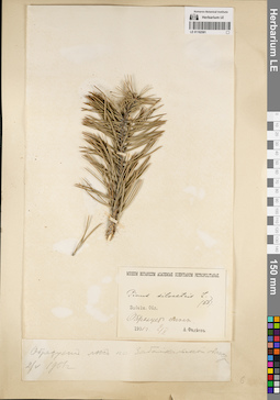
LE 01192581
Pinus sylvestris L. det. Borodin, Ivan Parfenevich
Collectors: Fadeev, A.Ph. Collection date: 02.05.1901. Administrative regions: RU - Zabaykal'skiy Kray; RU - Respublika Buryatiya. Place of collection: Забайкальская область.Groups of specimens: Образцы сектора Сибири и Дальнего Востока России; Соглашение Минобрнауки №075-15-2021-1056Original label text:[1]Образует лес по Забайкальской области. 2/V 1901 г. [2]Museum Botanicum Academiae Scientiarum Petropolitanae. Pinus silvestris L. (ИБ) Забайк. Обл. Образует лес. 1901 г. 2/V. А. Фадеев
Habitat / plant community in location of collecting: лесCoordinates (geographic position): 52° 2′ 1.09″ N, 113° 30′ 3.78″ E ±200000 mRecord creation: 2022-07-28, Larisa Orlova, PhotoScan D2. Part 3.Citation: Specimen LE 01192581 // Virtual herbarium of Komarov Botanical Institute RAS — http://re.herbariumle.ru/01192581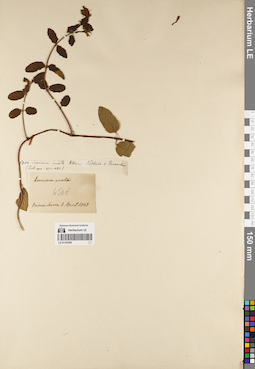
LE 01192384
Groups of specimens: Образцы общего сектораRecord creation: 2022-07-28, Larisa Orlova, PhotoScan D2. Part 1.Citation: Specimen LE 01192384 // Virtual herbarium of Komarov Botanical Institute RAS — http://re.herbariumle.ru/01192384
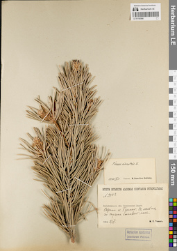
LE 01192580
Pinus sylvestris L. det. Ikonnikov-Galitzky, Nikolai Petrovic at 11.09.1940
Collectors: Tomin, Mikhail Petrovich Field collecting number: 250а. Collection date: 02.06.1912. Administrative regions: RU - Respublika Buryatiya - Selenginskiy Rayon. Place of collection: Селенгинская Даурия, окрестности оз. Гусиное, ложбина по опушке соснового леса.Groups of specimens: Образцы сектора Сибири и Дальнего Востока России; Соглашение Минобрнауки №075-15-2021-1056Original label text:Museum Botanicum Academiae Scientiarum Petropolitanae. N 250а. Забайкальск. обл. Селенгинская Даурия. Окрестн. оз. Гусиного. В ложбине по опушке соснового леса. 1912.2/VI. М.П. Томин
Landscape in location of collection: ложбинаHabitat / plant community in location of collecting: опушка соснового лесаCoordinates (geographic position): 51° 9′ 49.56″ N, 106° 15′ 53.3″ E ±30000 mRecord creation: 2022-07-28, Larisa Orlova, PhotoScan D2. Part 3.Citation: Specimen LE 01192580 // Virtual herbarium of Komarov Botanical Institute RAS — http://re.herbariumle.ru/01192580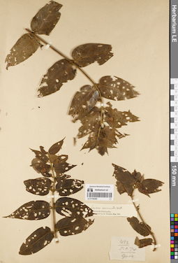
LE 01192383
Lonicera acuminata Wall. det. Treutler at 1874
Groups of specimens: Образцы общего сектораRecord creation: 2022-07-28, Larisa Orlova, PhotoScan D2. Part 1.Citation: Specimen LE 01192383 // Virtual herbarium of Komarov Botanical Institute RAS — http://re.herbariumle.ru/01192383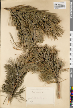
LE 01192579
Pinus sylvestris L. det. Lipsky, Vladimir Ippolitovich at 1901
Collectors: Lipsky, Vladimir Ippolitovich Collection date: 22.06.1901. Administrative regions: RU - Respublika Buryatiya. Subregion: городской округ Улан-Удэ. Place of collection: г. Улан-Удэ (Верхнеудинск).Expedition: В.И. Липский, Путешествие в Сибирь и Маньчжурию 1901 (1901)Groups of specimens: Образцы сектора Сибири и Дальнего Востока России; Соглашение Минобрнауки №075-15-2021-1056Original label text:В.И. Липский. Путешествие в Сибирь и Маньчжурию 1901. Pinus silvestris L. Сибирь, Забайк. обл., Верхнеудинск. 22 VI 1901
Coordinates (geographic position): 51° 51′ 49.74″ N, 107° 32′ 58.3″ E ±10000 mRecord creation: 2022-07-28, Larisa Orlova, PhotoScan D2. Part 3.Citation: Specimen LE 01192579 // Virtual herbarium of Komarov Botanical Institute RAS — http://re.herbariumle.ru/01192579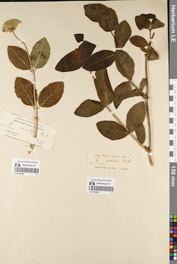
LE 01192381
Groups of specimens: Образцы общего сектораRecord creation: 2022-07-28, Larisa Orlova, PhotoScan D2. Part 1.Citation: Specimen LE 01192381 // Virtual herbarium of Komarov Botanical Institute RAS — http://re.herbariumle.ru/01192381
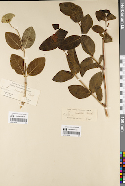
LE 01192382
Groups of specimens: Образцы общего сектораRecord creation: 2022-07-28, Larisa Orlova, PhotoScan D2. Part 1.Citation: Specimen LE 01192382 // Virtual herbarium of Komarov Botanical Institute RAS — http://re.herbariumle.ru/01192382
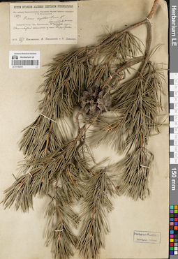
LE 01192578
Pinus sylvestris L. det. Sukaczev, Vladimir Nikolajevich
Collectors: Poplavskaya (Poplawska), Henrietta Ippolitovna; Poplavsky, M. I.; Ditmer, Erna E. Field collecting number: 2390. Collection date: 05.08.1913. Place of collection: скалистый склон у с. Турунтаево.Expedition: Верхне-Удинская экспедиция Г.И. Поплавской (1913)Groups of specimens: Образцы сектора Сибири и Дальнего Востока России; Соглашение Минобрнауки №075-15-2021-1056; Из гербария Переселенческого управленияOriginal label text:Museum Botanicum Academiae Scientiarum Petropolitanae. Из гербария Переселенческого Управления. Верхне-Удинская экспедиция Г.И. Поплавской. 2390. Pinus sylvestris L. Teste W. Sukaczew. Забайкальск. обл. Верхнеудин. у. Баргузинский тракт. Скалистый склон у сел. Турунтаево. 1913.VIII./5. Г. Поплавская, М. Поплавский и Э. Дитмер
Landscape in location of collection: скалистый склонCoordinates (geographic position): 52° 12′ 15.5″ N, 107° 38′ 32.63″ E ±5000 mRecord creation: 2022-07-28, Larisa Orlova, PhotoScan D2. Part 3.Citation: Specimen LE 01192578 // Virtual herbarium of Komarov Botanical Institute RAS — http://re.herbariumle.ru/01192578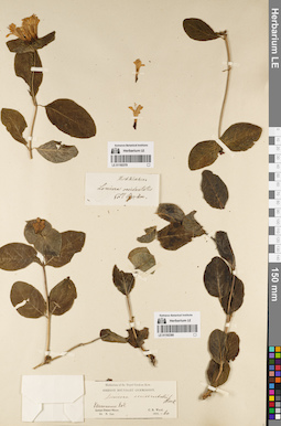
LE 01192379
Groups of specimens: Образцы общего сектораRecord creation: 2022-07-28, Larisa Orlova, PhotoScan D2. Part 1.Citation: Specimen LE 01192379 // Virtual herbarium of Komarov Botanical Institute RAS — http://re.herbariumle.ru/01192379
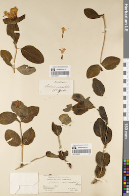
LE 01192380
Groups of specimens: Образцы общего сектораRecord creation: 2022-07-28, Larisa Orlova, PhotoScan D2. Part 1.Citation: Specimen LE 01192380 // Virtual herbarium of Komarov Botanical Institute RAS — http://re.herbariumle.ru/01192380
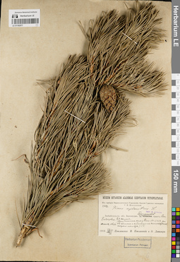
LE 01192577
Pinus sylvestris L. det. Sukaczev, Vladimir Nikolajevich
Collectors: Poplavskaya (Poplawska), Henrietta Ippolitovna; Poplavsky, M. I.; Ditmer, Erna E. Field collecting number: 2358/хвоя 2359/шишки 116. Collection date: 03.08.1913. Administrative regions: RU - Respublika Buryatiya - Pribaykal'skiy Rayon. Place of collection: с. Еловка (Ельцово), юго-восточный склон.Expedition: Верхне-Удинская экспедиция Г.И. Поплавской (1913)Groups of specimens: Образцы сектора Сибири и Дальнего Востока России; Соглашение Минобрнауки №075-15-2021-1056; Из гербария Переселенческого управленияOriginal label text:Museum Botanicum Academiae Scientiarum Petropolitanae. Из гербария Переселенческого Управления. Верхне-Удинская экспедиция Г.И. Поплавской. 2358. Pinus sylvestris L. Teste W. Sukaczew. Забайкальск. обл. Верхнеудин. у. Баргузинский тракт. Сел. Ельцово. SO склон (хвоя длиннее, чем у Pinus N=2359 счи СЗ склон и с большим количествим серого номера.) Шишк. N=116. Г.П.
Landscape in location of collection: юго-восточный склонCoordinates (geographic position): 52° 3′ 39.43″ N, 107° 28′ 33.8″ E ±5000 mRecord creation: 2022-07-28, Larisa Orlova, PhotoScan D2. Part 3.Citation: Specimen LE 01192577 // Virtual herbarium of Komarov Botanical Institute RAS — http://re.herbariumle.ru/011925771913.VIII./3. Г. Поплавская, М. Поплавский и Э. Дитмер
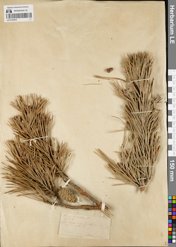
LE 01192576
Groups of specimens: Образцы сектора Сибири и Дальнего Востока России; Соглашение Минобрнауки №075-15-2021-1056Record creation: 2022-07-28, Larisa Orlova, PhotoScan D2. Part 3.Citation: Specimen LE 01192576 // Virtual herbarium of Komarov Botanical Institute RAS — http://re.herbariumle.ru/01192576