View
Add
Copy
Edit
Delete
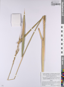
LE 01237836
Zizania latifolia (Griseb.) Hance ex F.Muell. det. Sagalaev, Vadim Alexandrovich at 06.09.1995
Collectors: Sagalaev, Vadim Alexandrovich Collection date: 06.09.1995. Administrative regions: RU - Volgogradskaya Oblast' - Gorodskoj okrug gorod Volgograd. Groups of specimens: Образцы сектора Восточной Европы; Соглашение Минобрнауки №075-15-2021-1056Original label text:Г. Волгоград, Красноармейский р-н, окрест. Сарепты. Волго-Донской канал им В. И. Ленина, шлюз № 2. В воде на отмели у берега. Заросли.
Coordinates (geographic position): 48° 30′ 30.41″ N, 44° 33′ 31.92″ E ±500 mRecord creation: 2023-05-17, Artyom Borodushkin, PhotoScan D2.Citation: Specimen LE 01237836 // Virtual herbarium of Komarov Botanical Institute RAS — http://re.herbariumle.ru/01237836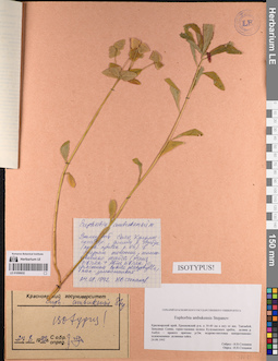
LE 01056932
Groups of specimens: Образцы сектора Сибири и Дальнего Востока России; Типовые образцы сектора Сибири и Дальнего Востока России; Соглашение Минобрнауки №075-15-2021-1056Record creation: 2023-05-17, Marina Yarichina, PhotoScan D2.Citation: Specimen LE 01056932 // Virtual herbarium of Komarov Botanical Institute RAS — http://re.herbariumle.ru/01056932
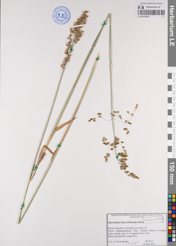
LE 01237835
Hierochloe hirta (Schrank) Borbas det. Kravchenko, Aleksej Vasil'evich at 12.06.2011
Collectors: Kravchenko, Aleksej Vasil'evich Field collecting number: 23413. Collection date: 12.06.2011. Administrative regions: RU - Respublika Kareliya - Lakhdenpokhskiy Rayon. Groups of specimens: Образцы сектора Восточной Европы; Соглашение Минобрнауки №075-15-2021-1056Original label text:Russia, Republic of Karelia, province: K1
Place: Lakhdenpokhskiy Distr., Kilpola Island in Ladoga Lake, central part, S of Leppala minor settl.
Mesic grassland by sedge mire
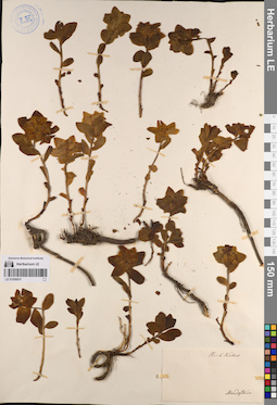
LE 01056931
Groups of specimens: Образцы сектора Сибири и Дальнего Востока России; Типовые образцы сектора Сибири и Дальнего Востока России; Соглашение Минобрнауки №075-15-2021-1056Record creation: 2023-05-17, Marina Yarichina, PhotoScan D2.Citation: Specimen LE 01056931 // Virtual herbarium of Komarov Botanical Institute RAS — http://re.herbariumle.ru/01056931
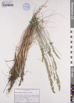
LE 01237834
Festuca sabulosa (Andersson) H. Lindb. det. Kravchenko, Aleksej Vasil'evich at 2012
Collectors: Kravchenko, Aleksej Vasil'evich Field collecting number: 24467. Collection date: 21.06.2012. Administrative regions: RU - Respublika Kareliya - Olonetskiy Rayon. Groups of specimens: Образцы сектора Восточной Европы; Соглашение Минобрнауки №075-15-2021-1056Original label text:Russia, Karelia, Koi, Olonetskiy Distr., Megrega settlement area, SW from Obzha village, Olonetskiy Federal Zoological Reserve, Majachino ornithological point, ca. 60°46'37.59"N (60.777108) 32°49'4.95"E (32.818042)
Habitat: shore side dunes of Ladoga Lake.
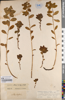
LE 01056930
Groups of specimens: Образцы сектора Сибири и Дальнего Востока России; Типовые образцы сектора Сибири и Дальнего Востока России; Соглашение Минобрнауки №075-15-2021-1056Record creation: 2023-05-17, Marina Yarichina, PhotoScan D2.Citation: Specimen LE 01056930 // Virtual herbarium of Komarov Botanical Institute RAS — http://re.herbariumle.ru/01056930
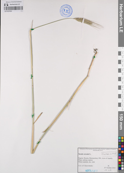
LE 01237833
Secale cereale L. det. Kravchenko, Aleksej Vasil'evich at 07.10.2010
Collectors: Kravchenko, Aleksej Vasil'evich Collection date: 07.10.2010. Administrative regions: RU - Murmanskaya Oblast' - Apatity (munitsipal'nyy okrug). Groups of specimens: Образцы сектора Восточной Европы; Соглашение Минобрнауки №075-15-2021-1056Original label text:Region: Russia, Murmanskay ObL, town of Apatity
Place: railway station
Wide roadside, doz. inds
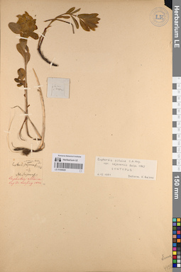
LE 01056929
Groups of specimens: Образцы сектора Сибири и Дальнего Востока России; Типовые образцы сектора Сибири и Дальнего Востока России; Соглашение Минобрнауки №075-15-2021-1056Record creation: 2023-05-17, Marina Yarichina, PhotoScan D2.Citation: Specimen LE 01056929 // Virtual herbarium of Komarov Botanical Institute RAS — http://re.herbariumle.ru/01056929
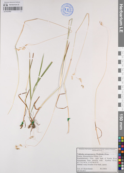
LE 01237832
Vahlodea atropurpurea (Wahlenb.) Fr. det. Kravchenko, Aleksej Vasil'evich at 2013
Collectors: Kravchenko, Aleksej Vasil'evich Field collecting number: 25844. Collection date: 29.07.2013. Administrative regions: RU - Murmanskaya Oblast' - Kandalakshskiy rayon. Groups of specimens: Образцы сектора Восточной Европы; Соглашение Минобрнауки №075-15-2021-1056Original label text:Russia, Murmanskaya Oblast, Lim
Kandalakshskiy Distr., right bank of Kanda River downstream from junction with Ryabina River, 67°7'32.76"N, 31°43'40.03 "E
Habitat: rocky-boulder river bank, sparse
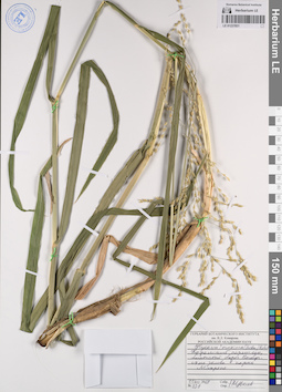
LE 01237831
Glyceria maxima (Hartm.) Holmb. det. Tzvelev, Nikolai Nikolaievich at 11.08.2009
Collectors: Tzvelev, Nikolai Nikolaievich Field collecting number: 131. Collection date: 11.08.2009. Administrative regions: RU - Leningradskaya Oblast' - Vyborgskiy Rayon. Топоним: Монрепо. Groups of specimens: Образцы сектора Восточной Европы; Соглашение Минобрнауки №075-15-2021-1056Original label text:Карельский перешеек, болотистый берег Выборгского залива, в парке Монрепо.
Coordinates (geographic position): 60° 44′ 17.31″ N, 28° 43′ 10.8″ E ±500 mRecord creation: 2023-05-17, Artyom Borodushkin, PhotoScan D2.Citation: Specimen LE 01237831 // Virtual herbarium of Komarov Botanical Institute RAS — http://re.herbariumle.ru/01237831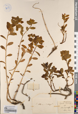
LE 01056928
Groups of specimens: Образцы сектора Сибири и Дальнего Востока России; Типовые образцы сектора Сибири и Дальнего Востока России; Соглашение Минобрнауки №075-15-2021-1056Record creation: 2023-05-17, Marina Yarichina, PhotoScan D2.Citation: Specimen LE 01056928 // Virtual herbarium of Komarov Botanical Institute RAS — http://re.herbariumle.ru/01056928
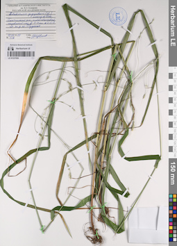
LE 01237830
Schedonorus giganteus (L.) Soreng & Terrell det. Tzvelev, Nikolai Nikolaievich at 15.08.2009
Collectors: Tzvelev, Nikolai Nikolaievich Field collecting number: 138. Collection date: 15.08.2009. Administrative regions: RU - Leningradskaya Oblast' - Gatchinskiy Rayon. Groups of specimens: Образцы сектора Восточной Европы; Соглашение Минобрнауки №075-15-2021-1056Original label text:Гатчинский район, елово-березовый сыроватый лес в 3-4 км к северу-северо-западу от железнодорожной станции Пудость.
Coordinates (geographic position): 59° 38′ 6.49″ N, 30° 6′ 9.6″ E ±1500 mRecord creation: 2023-05-17, Artyom Borodushkin, PhotoScan D2.Citation: Specimen LE 01237830 // Virtual herbarium of Komarov Botanical Institute RAS — http://re.herbariumle.ru/01237830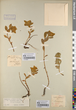
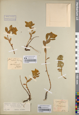
LE 01056926
Groups of specimens: Образцы сектора Сибири и Дальнего Востока России; Типовые образцы сектора Сибири и Дальнего Востока России; Соглашение Минобрнауки №075-15-2021-1056Record creation: 2023-05-17, Marina Yarichina, PhotoScan D2.Citation: Specimen LE 01056926 // Virtual herbarium of Komarov Botanical Institute RAS — http://re.herbariumle.ru/01056926
LE 01056927
Groups of specimens: Образцы сектора Сибири и Дальнего Востока России; Типовые образцы сектора Сибири и Дальнего Востока России; Соглашение Минобрнауки №075-15-2021-1056Record creation: 2023-05-17, Marina Yarichina, PhotoScan D2.Citation: Specimen LE 01056927 // Virtual herbarium of Komarov Botanical Institute RAS — http://re.herbariumle.ru/01056927
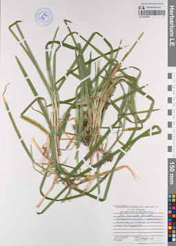
LE 01237829
Poa remota Forselles det. Tzvelev, Nikolai Nikolaievich at 15.08.2009
Collectors: Tzvelev, Nikolai Nikolaievich Field collecting number: 139. Collection date: 15.08.2009. Administrative regions: RU - Leningradskaya Oblast' - Gatchinskiy Rayon. Groups of specimens: Образцы сектора Восточной Европы; Соглашение Минобрнауки №075-15-2021-1056Original label text:Гатчинский район, сырой еловый лес в 3-4 км к северу-северо-западу от железнодорожной станции Пудость.
Coordinates (geographic position): 59° 38′ 3.4″ N, 30° 6′ 4.65″ E ±1500 mRecord creation: 2023-05-17, Artyom Borodushkin, PhotoScan D2.Citation: Specimen LE 01237829 // Virtual herbarium of Komarov Botanical Institute RAS — http://re.herbariumle.ru/01237829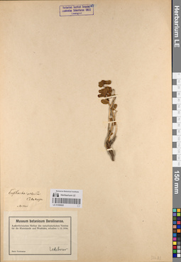
LE 01056925
Groups of specimens: Образцы сектора Сибири и Дальнего Востока России; Типовые образцы сектора Сибири и Дальнего Востока России; Соглашение Минобрнауки №075-15-2021-1056Record creation: 2023-05-17, Marina Yarichina, PhotoScan D2.Citation: Specimen LE 01056925 // Virtual herbarium of Komarov Botanical Institute RAS — http://re.herbariumle.ru/01056925
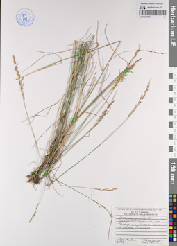
LE 01237828
Poa nemoralis L. det. Tzvelev, Nikolai Nikolaievich at 11.08.2009
Collectors: Tzvelev, Nikolai Nikolaievich Field collecting number: 128. Collection date: 11.08.2009. Administrative regions: RU - Leningradskaya Oblast' - Vyborgskiy Rayon. Топоним: Монрепо. Groups of specimens: Образцы сектора Восточной Европы; Соглашение Минобрнауки №075-15-2021-1056Original label text:Карельский перешеек, окрестности Выборга, гранитные скалы, в парке Монрепо.
Coordinates (geographic position): 60° 43′ 56.55″ N, 28° 43′ 32.77″ E ±1500 mRecord creation: 2023-05-17, Artyom Borodushkin, PhotoScan D2.Citation: Specimen LE 01237828 // Virtual herbarium of Komarov Botanical Institute RAS — http://re.herbariumle.ru/01237828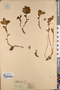
LE 01056924
Groups of specimens: Образцы сектора Сибири и Дальнего Востока России; Типовые образцы сектора Сибири и Дальнего Востока России; Соглашение Минобрнауки №075-15-2021-1056Record creation: 2023-05-17, Marina Yarichina, PhotoScan D2.Citation: Specimen LE 01056924 // Virtual herbarium of Komarov Botanical Institute RAS — http://re.herbariumle.ru/01056924
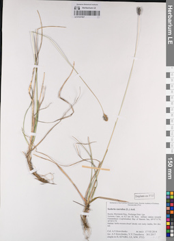
LE 01237827
Sesleria caerulea (L.) Ard. det. Kravchenko, Aleksej Vasil'evich, Timofeeva V.V. at 30.01.2017
Collectors: Kravchenko, Aleksej Vasil'evich Field collecting number: 26623. Collection date: 17.07.2014. Administrative regions: RU - Murmanskaya Oblast' - Pechengskiy Rayon. Groups of specimens: Образцы сектора Восточной Европы; Соглашение Минобрнауки №075-15-2021-1056Original label text:Russia, Murmansk Reg., Pechenga Distr. Lps
Voriema Cape, ca 0,5 km SE from military station towards Finmanskaya (Lapinmukka) Bay of Barents Sea, 69°47'13"N 30°50'31"E
Habitat: herbs-mosses-dwarf shrubs wet rocky tundra, few doz. ind.
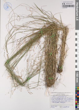
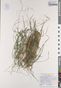
LE 01237826
Poa palustris L. det. Tzvelev, Nikolai Nikolaievich at 12.09.2009
Collectors: Tzvelev, Nikolai Nikolaievich Field collecting number: 204. Collection date: 12.09.2009. Administrative regions: RU - Leningradskaya Oblast' - Lomonosovskiy Rayon. Groups of specimens: Образцы сектора Восточной Европы; Соглашение Минобрнауки №075-15-2021-1056Original label text:Ленинградская область, в зарослях тростника близ морского побережья восточнее поселка Большая Ижора.
Coordinates (geographic position): 59° 56′ 3.82″ N, 29° 36′ 34.16″ E ±1000 mRecord creation: 2023-05-17, Artyom Borodushkin, PhotoScan D2.Citation: Specimen LE 01237826 // Virtual herbarium of Komarov Botanical Institute RAS — http://re.herbariumle.ru/01237826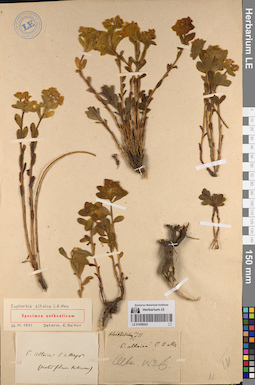
LE 01056923
Groups of specimens: Образцы сектора Сибири и Дальнего Востока России; Типовые образцы сектора Сибири и Дальнего Востока России; Соглашение Минобрнауки №075-15-2021-1056Record creation: 2023-05-17, Marina Yarichina, PhotoScan D2.Citation: Specimen LE 01056923 // Virtual herbarium of Komarov Botanical Institute RAS — http://re.herbariumle.ru/01056923
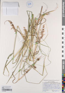
LE 01237825
Poa palustris L. det. Tzvelev, Nikolai Nikolaievich at 12.09.2009
Collectors: Tzvelev, Nikolai Nikolaievich Field collecting number: 203. Collection date: 12.09.2009. Administrative regions: RU - Leningradskaya Oblast' - Lomonosovskiy Rayon. Groups of specimens: Образцы сектора Восточной Европы; Соглашение Минобрнауки №075-15-2021-1056Original label text:Ленинградская область, в зарослях тростника близ морского побережья восточнее поселка Большая Ижора. Затененные особи!
Coordinates (geographic position): 59° 56′ 6.46″ N, 29° 36′ 24.81″ E ±1000 mRecord creation: 2023-05-17, Artyom Borodushkin, PhotoScan D2.Citation: Specimen LE 01237825 // Virtual herbarium of Komarov Botanical Institute RAS — http://re.herbariumle.ru/01237825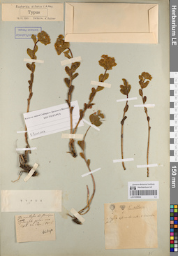
LE 01056922
Groups of specimens: Образцы сектора Сибири и Дальнего Востока России; Типовые образцы сектора Сибири и Дальнего Востока России; Соглашение Минобрнауки №075-15-2021-1056Record creation: 2023-05-17, Marina Yarichina, PhotoScan D2.Citation: Specimen LE 01056922 // Virtual herbarium of Komarov Botanical Institute RAS — http://re.herbariumle.ru/01056922
LE 01237824
Trisetum flavescens (L.) P. Beauv. det. Tzvelev, Nikolai Nikolaievich at 11.07.2009
Collectors: Tzvelev, Nikolai Nikolaievich Field collecting number: 107. Collection date: 11.07.2009. Administrative regions: RU - Sankt-Peterburg. Groups of specimens: Образцы сектора Восточной Европы; Соглашение Минобрнауки №075-15-2021-1056Original label text:Ленинградская область, окрестности Санкт-Петербурга, болотистая лужайка у берега Дудергофского озера, у станции железной дороги Можайская.
Coordinates (geographic position): 59° 42′ 9.02″ N, 30° 7′ 2.73″ E ±100 mRecord creation: 2023-05-17, Artyom Borodushkin, PhotoScan D2.Citation: Specimen LE 01237824 // Virtual herbarium of Komarov Botanical Institute RAS — http://re.herbariumle.ru/01237824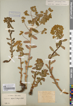
LE 01056921
Groups of specimens: Образцы сектора Сибири и Дальнего Востока России; Типовые образцы сектора Сибири и Дальнего Востока России; Соглашение Минобрнауки №075-15-2021-1056Record creation: 2023-05-17, Marina Yarichina, PhotoScan D2.Citation: Specimen LE 01056921 // Virtual herbarium of Komarov Botanical Institute RAS — http://re.herbariumle.ru/01056921
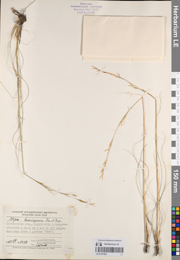
LE 01237823
Stipa lessingiana Trin. & Rupr. det. Tzvelev, Nikolai Nikolaievich
Collectors: Geltman, Dmitri Victorovich; Medvedeva, Nina Anatolyevna Field collecting number: 2058. Collection date: 13.06.1984. Administrative regions: UA - Mykolayivs'ka Oblast' - Voznesens'ka Mis'krada. Groups of specimens: Образцы сектора Восточной Европы; Соглашение Минобрнауки №075-15-2021-1056Original label text:Николаевская область, окрестности села Новоалександровка в 18-20 км к юго-востоку от пгт Еланец. Ковыльная степь в урочище ’’Роза”.
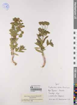
LE 01056920
Groups of specimens: Образцы сектора Сибири и Дальнего Востока России; Типовые образцы сектора Сибири и Дальнего Востока России; Соглашение Минобрнауки №075-15-2021-1056Record creation: 2023-05-17, Marina Yarichina, PhotoScan D2.Citation: Specimen LE 01056920 // Virtual herbarium of Komarov Botanical Institute RAS — http://re.herbariumle.ru/01056920
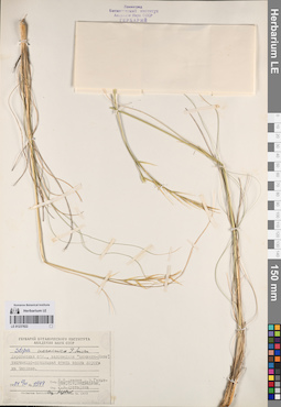
LE 01237822
Stipa ucrainica P.A. Smirn. det. Tzvelev, Nikolai Nikolaievich
Collectors: Tzvelev, Nikolai Nikolaievich; Geltman, Dmitri Victorovich; Medvedeva, Nina Anatolyevna; Mustafina G. V. Field collecting number: 1547. Collection date: 02.06.1984. Administrative regions: UA - Khersons'ka Oblast' - Kakhovs'ka Mis'krada. Groups of specimens: Образцы сектора Восточной Европы; Соглашение Минобрнауки №075-15-2021-1056Original label text:Херсонская область, заповедник "Аскания-Нова" типчаково-ковыльная степь вдоль дороги на Чкалово.
Coordinates (geographic position): 46° 28′ 46.21″ N, 34° 3′ 2.64″ E ±5000 mRecord creation: 2023-05-17, Artyom Borodushkin, PhotoScan D2.Citation: Specimen LE 01237822 // Virtual herbarium of Komarov Botanical Institute RAS — http://re.herbariumle.ru/01237822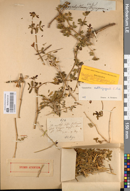
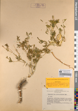
LE 01053929
Groups of specimens: Образцы сектора Сибири и Дальнего Востока России; Типовые образцы сектора Сибири и Дальнего Востока России; Соглашение Минобрнауки №075-15-2021-1056Record creation: 2023-05-17, Marina Yarichina, PhotoScan D2.Citation: Specimen LE 01053929 // Virtual herbarium of Komarov Botanical Institute RAS — http://re.herbariumle.ru/01053929
LE 01053928
Groups of specimens: Образцы сектора Сибири и Дальнего Востока России; Типовые образцы сектора Сибири и Дальнего Востока России; Соглашение Минобрнауки №075-15-2021-1056Record creation: 2023-05-17, Marina Yarichina, PhotoScan D2.Citation: Specimen LE 01053928 // Virtual herbarium of Komarov Botanical Institute RAS — http://re.herbariumle.ru/01053928
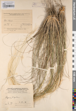
LE 01237821
Stipa sp. ⟮ID by scan⟯ det. Melnikov, Denis Germanovich at 24.05.2023
Collectors: Kirpicznikov, Moisey Elevich; Fedorov, Alexander Alexandrovich; Fedorov, Andrey Aleksandrovich Collection date: 29.05.1952. Administrative regions: UA - Republic of Crimea - Gorodskoy okrug Feodosiya. Expedition: Туркмено-закавказская экспедиция (1952 -1952)Groups of specimens: Образцы сектора Восточной Европы; Соглашение Минобрнауки №075-15-2021-1056Original label text:Крым. Карадаг.
Coordinates (geographic position): 44° 55′ 59.52″ N, 35° 13′ 26.76″ E ±1000 mRecord creation: 2023-05-17, Artyom Borodushkin, PhotoScan D2.Citation: Specimen LE 01237821 // Virtual herbarium of Komarov Botanical Institute RAS — http://re.herbariumle.ru/01237821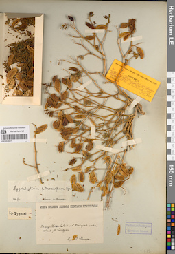
LE 01053927
Groups of specimens: Образцы сектора Сибири и Дальнего Востока России; Типовые образцы сектора Сибири и Дальнего Востока России; Соглашение Минобрнауки №075-15-2021-1056Record creation: 2023-05-17, Marina Yarichina, PhotoScan D2.Citation: Specimen LE 01053927 // Virtual herbarium of Komarov Botanical Institute RAS — http://re.herbariumle.ru/01053927
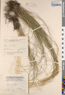
LE 01237820
Stipa sp. ⟮ID by scan⟯ det. Melnikov, Denis Germanovich at 24.05.2023
Collectors: Fedorov, Alexander Alexandrovich Collection date: 31.05.1952. Administrative regions: UA - Republic of Crimea - Lenine Raion. Expedition: Туркмено-закавказская экспедиция (1952 -1952)Groups of specimens: Образцы сектора Восточной Европы; Соглашение Минобрнауки №075-15-2021-1056Original label text:Крым. Близ Керчи.
Coordinates (geographic position): 45° 20′ 21.65″ N, 36° 22′ 0.99″ E ±10000 mRecord creation: 2023-05-17, Artyom Borodushkin, PhotoScan D2.Citation: Specimen LE 01237820 // Virtual herbarium of Komarov Botanical Institute RAS — http://re.herbariumle.ru/01237820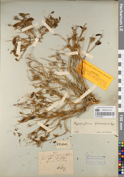
LE 01053926
Groups of specimens: Образцы сектора Сибири и Дальнего Востока России; Типовые образцы сектора Сибири и Дальнего Востока России; Соглашение Минобрнауки №075-15-2021-1056Record creation: 2023-05-17, Marina Yarichina, PhotoScan D2.Citation: Specimen LE 01053926 // Virtual herbarium of Komarov Botanical Institute RAS — http://re.herbariumle.ru/01053926
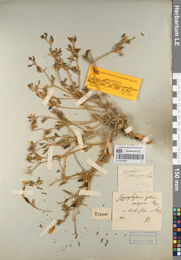
LE 01053925
Groups of specimens: Образцы сектора Сибири и Дальнего Востока России; Типовые образцы сектора Сибири и Дальнего Востока России; Соглашение Минобрнауки №075-15-2021-1056Record creation: 2023-05-17, Marina Yarichina, PhotoScan D2.Citation: Specimen LE 01053925 // Virtual herbarium of Komarov Botanical Institute RAS — http://re.herbariumle.ru/01053925
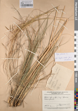
LE 01237819
Stipa pennata L. det. Kopylov-Guskov, Yuri Olegovich at 07.10.2015
Collectors: Grudzinskaja, Irina Aleksandrovna Collection date: 17.05.1960. Administrative regions: KZ - West Kazakhstan - Oral Qalasy. Groups of specimens: Образцы сектора Восточной Европы; Соглашение Минобрнауки №075-15-2021-1056Original label text:Правый берег реки Урал близ города Уральска. Степные участки.
Coordinates (geographic position): 51° 11′ 40.15″ N, 51° 25′ 4.93″ E ±3000 mRecord creation: 2023-05-17, Artyom Borodushkin, PhotoScan D2.Citation: Specimen LE 01237819 // Virtual herbarium of Komarov Botanical Institute RAS — http://re.herbariumle.ru/01237819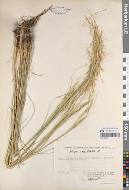
LE 01237818
Stipa capillata L. det. Tzvelev, Nikolai Nikolaievich
Collectors: Aleksandrova, V.P.; Khort (Hort) Tatyana Petrovna; Belyanskaja, E.O.; Bobrov, Andrej Evgenievich; Siplivinsky, Vladimir Nikolaevich Collection date: 31.07.1968. Administrative regions: UA - Republic of Crimea - Gorodskoy okrug Simferopol. Groups of specimens: Образцы сектора Восточной Европы; Соглашение Минобрнауки №075-15-2021-1056Original label text:Крым, с. Лозовое (Эски-Орда) южнее Симферополя. Грабинниково-полиурусовый шибляк на Ю-В склоне.
Coordinates (geographic position): 44° 54′ 9.58″ N, 34° 10′ 32.35″ E ±300 mRecord creation: 2023-05-17, Artyom Borodushkin, PhotoScan D2.Citation: Specimen LE 01237818 // Virtual herbarium of Komarov Botanical Institute RAS — http://re.herbariumle.ru/01237818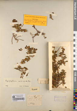
LE 01053924
Groups of specimens: Образцы сектора Сибири и Дальнего Востока России; Типовые образцы сектора Сибири и Дальнего Востока России; Соглашение Минобрнауки №075-15-2021-1056Record creation: 2023-05-17, Marina Yarichina, PhotoScan D2.Citation: Specimen LE 01053924 // Virtual herbarium of Komarov Botanical Institute RAS — http://re.herbariumle.ru/01053924
LE 01237817
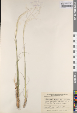
Stipa sp. ⟮ID by scan⟯ det. Melnikov, Denis Germanovich at 24.05.2023
Collectors: Mordak, Elena Vladimirovna Field collecting number: 1000. Collection date: 24.04.1972. Administrative regions: UA - Republic of Crimea - Gorodskoy okrug Feodosiya. Groups of specimens: Образцы сектора Восточной Европы; Соглашение Минобрнауки №075-15-2021-1056Original label text:Восточный Крым, окрестности Щебетовки, сухие открытые склоны под горой Эчки-Даг со стороны моря.
Coordinates (geographic position): 44° 54′ 2.64″ N, 35° 9′ 12.39″ E ±500 mRecord creation: 2023-05-17, Artyom Borodushkin, PhotoScan D2.Citation: Specimen LE 01237817 // Virtual herbarium of Komarov Botanical Institute RAS — http://re.herbariumle.ru/01237817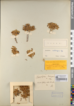
LE 01053923
Groups of specimens: Образцы сектора Сибири и Дальнего Востока России; Типовые образцы сектора Сибири и Дальнего Востока России; Соглашение Минобрнауки №075-15-2021-1056Record creation: 2023-05-17, Marina Yarichina, PhotoScan D2.Citation: Specimen LE 01053923 // Virtual herbarium of Komarov Botanical Institute RAS — http://re.herbariumle.ru/01053923
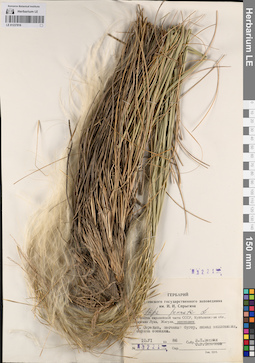
LE 01237816
Stipa pennata L. det. Tzvelev, Nikolai Nikolaievich
Collectors: Vekhnik V.P.; Saksonov, Sergey Vladimirovich Field collecting number: 3221. Collection date: 10.06.1986. Administrative regions: RU - Samarskaya Oblast' - Stavropol'skiy Rayon. Groups of specimens: Образцы сектора Восточной Европы; Соглашение Минобрнауки №075-15-2021-1056Original label text:Юго-Восток европейской части СССР, Куйбышевская обл., заповедник. Остров Середыш, песчаный бугор, южная экспозиция, опушка сосняка.
Coordinates (geographic position): 53° 27′ 12.43″ N, 49° 43′ 10.9″ E ±200 mRecord creation: 2023-05-17, Artyom Borodushkin, PhotoScan D2.Citation: Specimen LE 01237816 // Virtual herbarium of Komarov Botanical Institute RAS — http://re.herbariumle.ru/01237816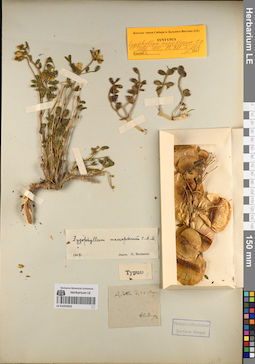
LE 01053922
Groups of specimens: Образцы сектора Сибири и Дальнего Востока России; Типовые образцы сектора Сибири и Дальнего Востока России; Соглашение Минобрнауки №075-15-2021-1056Record creation: 2023-05-17, Marina Yarichina, PhotoScan D2.Citation: Specimen LE 01053922 // Virtual herbarium of Komarov Botanical Institute RAS — http://re.herbariumle.ru/01053922
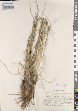
LE 01237815
Stipa pennata L. det. Tzvelev, Nikolai Nikolaievich
Collectors: Melchenko V.E.; Saksonov, Sergey Vladimirovich Field collecting number: 3694. Collection date: 27.05.1988. Administrative regions: RU - Samarskaya Oblast' - Stavropol'skiy Rayon. Groups of specimens: Образцы сектора Восточной Европы; Соглашение Минобрнауки №075-15-2021-1056Original label text:Юго-Восток европейской части СССР, Куйбышевская обл., Самарская Лука. Окрестности Малой Рязани, остепненный курган, среди с/х полей, вблизи Жабина оврага.
Coordinates (geographic position): 53° 14′ 20.19″ N, 49° 17′ 33.69″ E ±1000 mRecord creation: 2023-05-17, Artyom Borodushkin, PhotoScan D2.Citation: Specimen LE 01237815 // Virtual herbarium of Komarov Botanical Institute RAS — http://re.herbariumle.ru/01237815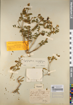
LE 01053921
Groups of specimens: Образцы сектора Сибири и Дальнего Востока России; Типовые образцы сектора Сибири и Дальнего Востока России; Соглашение Минобрнауки №075-15-2021-1056Record creation: 2023-05-17, Marina Yarichina, PhotoScan D2.Citation: Specimen LE 01053921 // Virtual herbarium of Komarov Botanical Institute RAS — http://re.herbariumle.ru/01053921
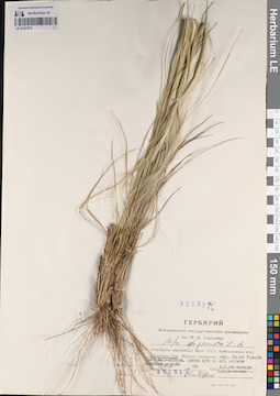
LE 01237814
Stipa pennata L. det. Tzvelev, Nikolai Nikolaievich
Collectors: Melchenko V.E.; Saksonov, Sergey Vladimirovich Field collecting number: 3694а. Collection date: 27.05.1988. Administrative regions: RU - Samarskaya Oblast' - Stavropol'skiy Rayon. Groups of specimens: Образцы сектора Восточной Европы; Соглашение Минобрнауки №075-15-2021-1056Original label text:Юго-Восток европейской части СССР, Куйбышевская обл., Самарская Лука. Окрестности Малой Рязани, остепненный курган, среди с/х полей, вблизи Жабина оврага
Coordinates (geographic position): 53° 14′ 20.19″ N, 49° 17′ 33.69″ E ±1000 mRecord creation: 2023-05-17, Artyom Borodushkin, PhotoScan D2.. Processing status: data is not fully entered; label contains unreadable dataCitation: Specimen LE 01237814 // Virtual herbarium of Komarov Botanical Institute RAS — http://re.herbariumle.ru/01237814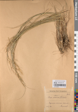
LE 01237813
Stipa rubens P. Smirn.
Collectors: Kolmakov S. Field collecting number: 17. Collection date: 07.06.1928. Administrative regions: KZ - West Kazakhstan - Oral Qalasy. Groups of specimens: Образцы сектора Восточной Европы; Соглашение Минобрнауки №075-15-2021-1056Original label text:Уральская опытная станция.
Coordinates (geographic position): 51° 13′ 47.11″ N, 51° 23′ 17.3″ E ±2000 mRecord creation: 2023-05-17, Artyom Borodushkin, PhotoScan D2.Citation: Specimen LE 01237813 // Virtual herbarium of Komarov Botanical Institute RAS — http://re.herbariumle.ru/01237813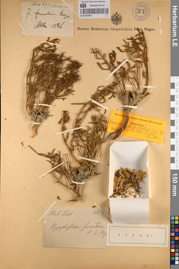
LE 01053920
Groups of specimens: Образцы сектора Сибири и Дальнего Востока России; Типовые образцы сектора Сибири и Дальнего Востока России; Соглашение Минобрнауки №075-15-2021-1056Record creation: 2023-05-17, Marina Yarichina, PhotoScan D2.Citation: Specimen LE 01053920 // Virtual herbarium of Komarov Botanical Institute RAS — http://re.herbariumle.ru/01053920
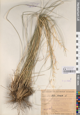
LE 01237812
Stipa pennata L. det. Saksonov, Sergey Vladimirovich at 1984
Collectors: Saksonov, Sergey Vladimirovich Field collecting number: 1644b. Collection date: 21.06.1984. Administrative regions: RU - Samarskaya Oblast' - Stavropol'skiy Rayon. Groups of specimens: Образцы сектора Восточной Европы; Соглашение Минобрнауки №075-15-2021-1056Original label text:Самарская область, Жигули, склон .... долины в устье Попова оврага, квартал 178.
Coordinates (geographic position): 53° 25′ 18.3″ N, 49° 33′ 19.81″ E ±10000 mRecord creation: 2023-05-17, Artyom Borodushkin, PhotoScan D2.Citation: Specimen LE 01237812 // Virtual herbarium of Komarov Botanical Institute RAS — http://re.herbariumle.ru/01237812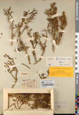
LE 01053919
Groups of specimens: Образцы сектора Сибири и Дальнего Востока России; Типовые образцы сектора Сибири и Дальнего Востока России; Соглашение Минобрнауки №075-15-2021-1056Record creation: 2023-05-17, Marina Yarichina, PhotoScan D2.Citation: Specimen LE 01053919 // Virtual herbarium of Komarov Botanical Institute RAS — http://re.herbariumle.ru/01053919
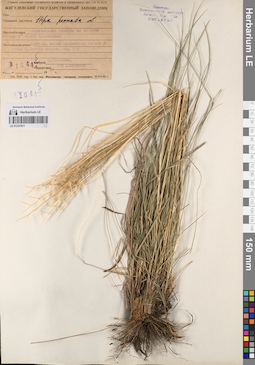
LE 01237811
Stipa pennata L. det. Saksonov, Sergey Vladimirovich at 1984
Collectors: Saksonov, Sergey Vladimirovich Field collecting number: 1644. Collection date: 21.06.1984. Administrative regions: RU - Samarskaya Oblast' - Stavropol'skiy Rayon. Groups of specimens: Образцы сектора Восточной Европы; Соглашение Минобрнауки №075-15-2021-1056Original label text:Самарская область, Жигули, склон .... долины в устье Попова оврага, квартал 178. Остепненный участок на пологом склоне 5 градусов южной экспозиции.
Coordinates (geographic position): 53° 25′ 18.3″ N, 49° 33′ 19.81″ E ±10000 mRecord creation: 2023-05-17, Artyom Borodushkin, PhotoScan D2.. Processing status: data is not fully enteredCitation: Specimen LE 01237811 // Virtual herbarium of Komarov Botanical Institute RAS — http://re.herbariumle.ru/01237811